Beacon Craigs
Island in Banffshire
Scotland
Beacon Craigs
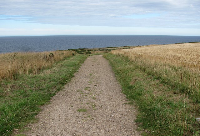
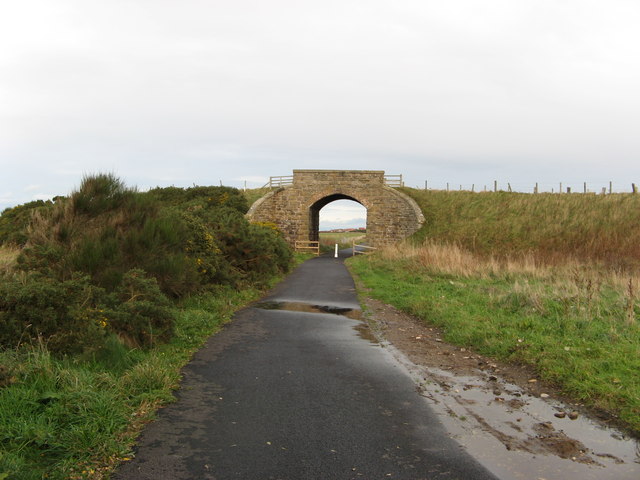
Beacon Craigs is a small island located on the northeastern coast of Scotland, specifically in Banffshire. It is situated in the North Sea, approximately 2 kilometers off the mainland. The island covers an area of about 0.2 square kilometers and is known for its rugged and picturesque landscape.
The island gets its name from the prominent rocky cliffs that form its coastline, resembling beacons rising from the sea. These cliffs are a result of millions of years of erosion caused by the relentless waves of the North Sea. The highest point on Beacon Craigs reaches an elevation of around 50 meters, offering stunning panoramic views of the surrounding area.
Despite its small size, Beacon Craigs is a haven for wildlife. The island is home to a variety of seabirds, including gulls, puffins, and cormorants, which nest on the cliffs during the breeding season. The grassy areas of the island also support a diverse range of plant species, adding to its ecological significance.
Visitors to Beacon Craigs can explore its rugged coastline, enjoying the dramatic views and observing the abundant wildlife. However, it is important to note that access to the island can be challenging due to the steep and often slippery terrain. Caution is advised, particularly during adverse weather conditions.
Overall, Beacon Craigs is a unique and captivating island, offering a glimpse of Scotland's natural beauty and serving as an important habitat for various species of flora and fauna.
If you have any feedback on the listing, please let us know in the comments section below.
Beacon Craigs Images
Images are sourced within 2km of 57.699869/-2.9052664 or Grid Reference NJ4668. Thanks to Geograph Open Source API. All images are credited.


Beacon Craigs is located at Grid Ref: NJ4668 (Lat: 57.699869, Lng: -2.9052664)
Unitary Authority: Moray
Police Authority: North East
What 3 Words
///takeovers.corner.quirky. Near Findochty, Moray
Nearby Locations
Related Wikis
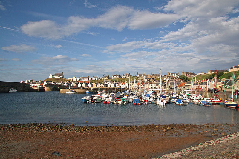
Findochty
Findochty (pronounced , Scots: Finichty, Scottish Gaelic: Am Fionn Ochdamh) is a village in Moray, Scotland, on the shores of the Moray Firth; historically...
Buckpool
Buckpool is a village on the coast of Moray, Scotland. Originally known as Nether Buckie, it is now effectively a part of the town of Buckie as the nearby...

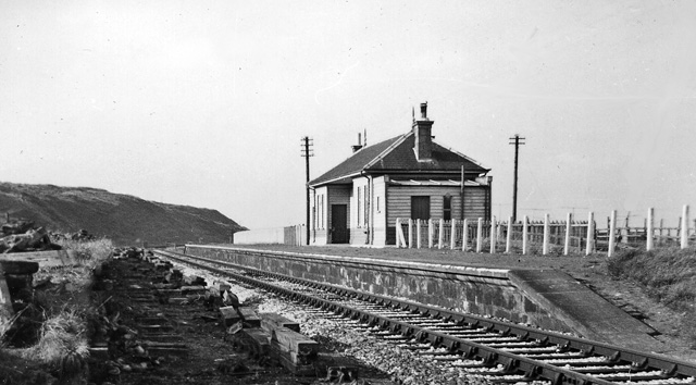
Findochty railway station
Findochty railway station was a railway station in the small fishing village of Findochty, Moray about 3 miles to the east of Buckie. The railway station...
Strathlene Golf Course
Strathlene at Findochty, near Buckie, is one of the oldest golf courses in Scotland. It was established in 1877 and is home to Strathlene Buckie Golf Club...
Findochty Castle
Findochty Castle is a ruined 16th century L-plan tower house, near Findochty, Moray, Scotland, about 2.5 miles (4.0 km) north-east of Buckie, and about...
Strathlene
Strathlene is an area between Buckie and Findochty which has a caravan site facing onto the Moray Firth. At one time the Strathlene House Hotel, a former...
Tronach Castle
Tronach Castle was a castle, about 0.5 miles (0.80 km) east of Portknockie, Moray, Scotland, near the shore. == Description == The first Statistical Account...
Portessie railway station
Portessie railway station was a joint Highland Railway (HR) and Great North of Scotland Railway (GNoSR) station at the junction between the Moray Coast...
Nearby Amenities
Located within 500m of 57.699869,-2.9052664Have you been to Beacon Craigs?
Leave your review of Beacon Craigs below (or comments, questions and feedback).