Spey Bay
Bay in Banffshire
Scotland
Spey Bay
Spey Bay is a small coastal village located in the county of Banffshire, in the northeast of Scotland. Positioned at the mouth of the River Spey, it is known for its picturesque bay and stunning natural surroundings.
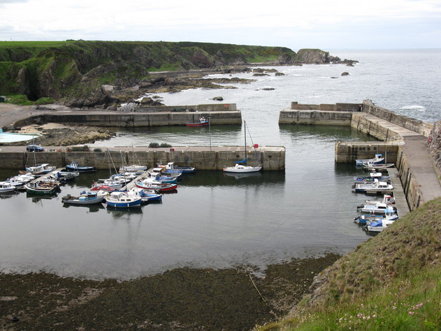
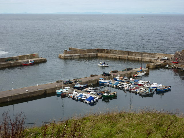
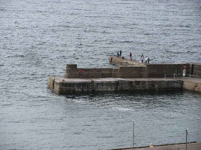
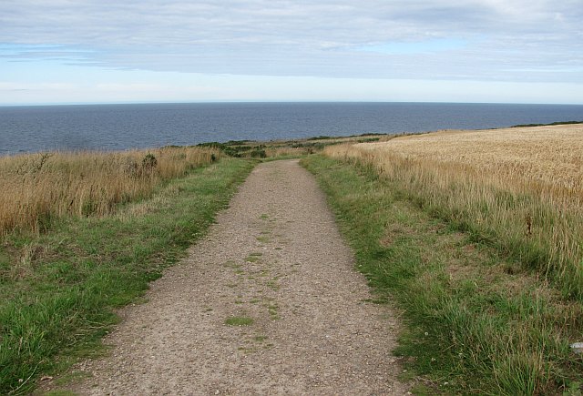
One of the prominent features of Spey Bay is its long sandy beach, which stretches for approximately three miles along the Moray Firth. The bay is a popular destination for nature lovers, offering breathtaking views of the coastline and abundant wildlife. Visitors can often spot dolphins, seals, and various bird species, making it a haven for birdwatchers and wildlife enthusiasts.
The village itself is small and charming, with a close-knit community that takes pride in its natural heritage. Spey Bay is home to the Scottish Dolphin Centre, a visitor attraction operated by the Whale and Dolphin Conservation Society. The center provides educational exhibits and interactive displays about the local marine life, and visitors can also take guided walks along the river to learn about the area's flora and fauna.
In addition to its natural beauty, Spey Bay is also known for its historical significance. The nearby ruins of the 16th-century Tynet Castle are a popular attraction for history buffs and offer a glimpse into the area's past.
Overall, Spey Bay offers a unique combination of stunning natural landscapes, diverse wildlife, and historical landmarks, making it an ideal destination for those seeking tranquility and a connection with nature.
If you have any feedback on the listing, please let us know in the comments section below.
Spey Bay Images
Images are sourced within 2km of 57.70082/-2.8914143 or Grid Reference NJ4668. Thanks to Geograph Open Source API. All images are credited.


Spey Bay is located at Grid Ref: NJ4668 (Lat: 57.70082, Lng: -2.8914143)
Unitary Authority: Moray
Police Authority: North East
What 3 Words
///tops.huddled.gurgling. Near Findochty, Moray
Nearby Locations
Related Wikis
Buckpool
Buckpool is a village on the coast of Moray, Scotland. Originally known as Nether Buckie, it is now effectively a part of the town of Buckie as the nearby...

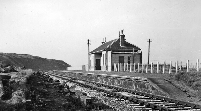
Findochty railway station
Findochty railway station was a railway station in the small fishing village of Findochty, Moray about 3 miles to the east of Buckie. The railway station...
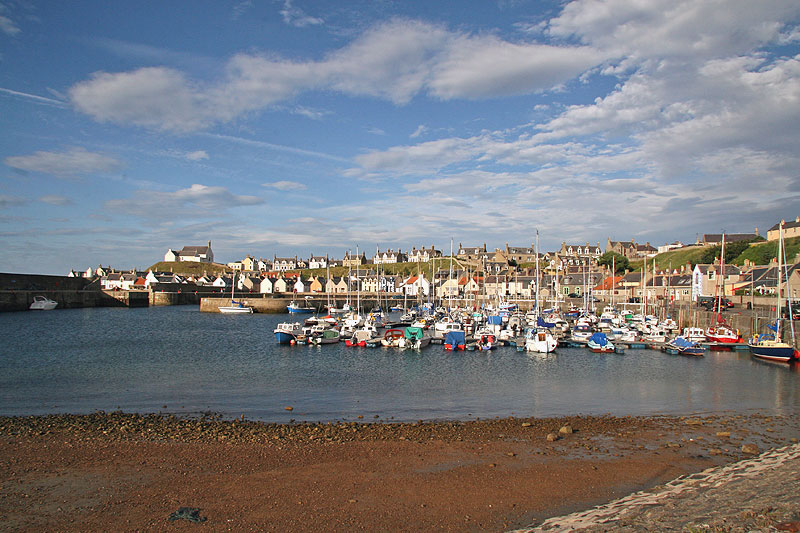
Findochty
Findochty (pronounced , Scots: Finichty, Scottish Gaelic: Am Fionn Ochdamh) is a village in Moray, Scotland, on the shores of the Moray Firth; historically...
Tronach Castle
Tronach Castle was a castle, about 0.5 miles (0.80 km) east of Portknockie, Moray, Scotland, near the shore. == Description == The first Statistical Account...
Nearby Amenities
Located within 500m of 57.70082,-2.8914143Have you been to Spey Bay?
Leave your review of Spey Bay below (or comments, questions and feedback).