Fas Skerry
Island in Caithness
Scotland
Fas Skerry
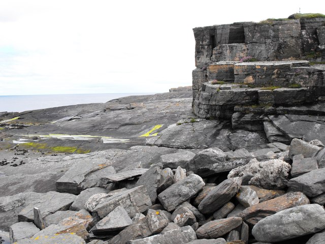
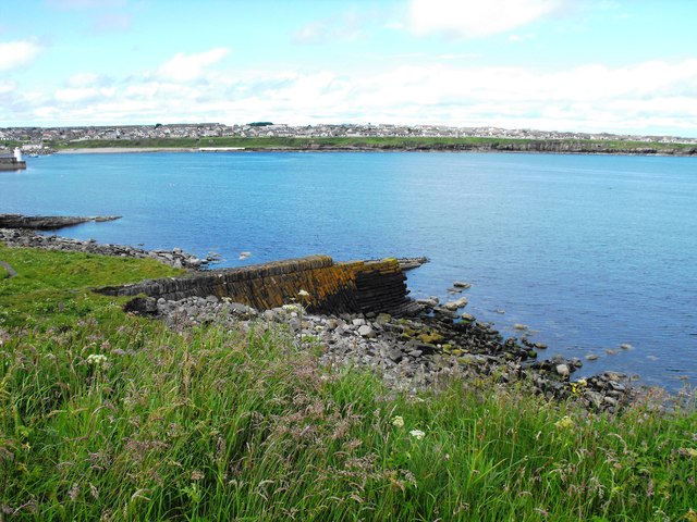
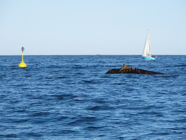
Fas Skerry is a small uninhabited island located in the Pentland Firth, off the northeast coast of Caithness, Scotland. It is part of the Orkney Islands archipelago and lies approximately 7 miles northeast of Duncansby Head. The island covers an area of around 12 acres and is known for its rugged and rocky terrain.
Fas Skerry is a popular spot for birdwatching enthusiasts due to its abundant birdlife. The island is home to a variety of seabirds, including guillemots, razorbills, puffins, and fulmars. The surrounding waters are also frequented by seals and dolphins, making it a haven for wildlife lovers.
The island is uninhabited, devoid of any permanent structures or facilities. Its name, Fas Skerry, comes from the Old Norse language, meaning "fast rock," which accurately describes the island's rocky coastline. The terrain consists of steep cliffs and rocky outcrops, providing nesting sites for the numerous bird species that frequent the area.
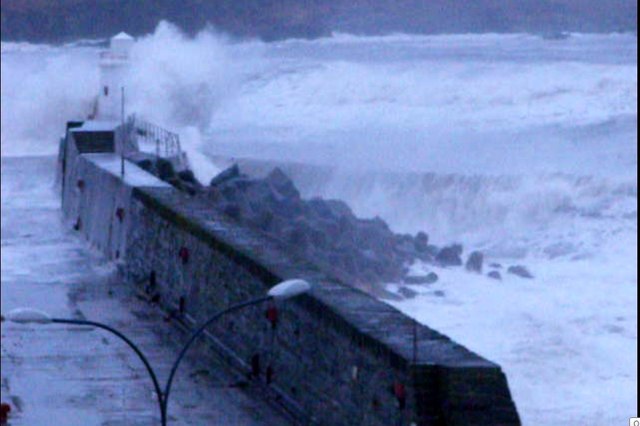
Due to its remote and exposed location, access to Fas Skerry can be challenging and is generally limited to experienced sailors or wildlife tour operators. The island is not open to the public for overnight stays or recreational activities. However, visitors can catch glimpses of the island and its wildlife from boat tours that operate in the area.
In conclusion, Fas Skerry is a small, uninhabited island off the coast of Caithness known for its rugged terrain and abundant birdlife. Its remote location and rocky coastline make it a sanctuary for various seabird species, attracting birdwatching enthusiasts and nature lovers alike.
If you have any feedback on the listing, please let us know in the comments section below.
Fas Skerry Images
Images are sourced within 2km of 58.446401/-3.0538012 or Grid Reference ND3851. Thanks to Geograph Open Source API. All images are credited.


Fas Skerry is located at Grid Ref: ND3851 (Lat: 58.446401, Lng: -3.0538012)
Unitary Authority: Highland
Police Authority: Highlands and Islands
What 3 Words
///trapdoor.sketch.mulls. Near Wick, Highland
Nearby Locations
Related Wikis

Papigoe
Papigoe is a village on the east coast of Caithness, at the head of Broad Haven Bay in the Scottish Highlands and is in the Scottish council area of Highland...

Staxigoe
Staxigoe is a former fishing village, located 2 miles east of Wick on the north-eastern coast of the former county of Caithness, Scottish Highlands and...
Pulteneytown Parish Church
Pulteneytown Parish Church is located in Argyle Square, Pulteneytown, Wick, Caithness, Scotland. It is a congregation in the Church of Scotland. The church...
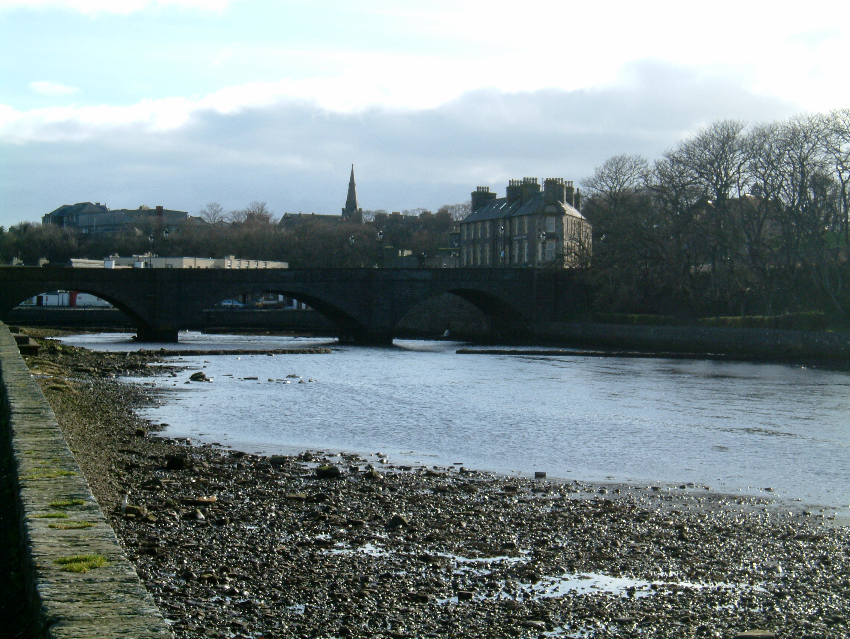
Wick, Caithness
Wick (Scottish Gaelic: Inbhir Ùige [ˈinivɪɾʲˈuːkʲə]; Scots: Week) is a town and royal burgh in Caithness, in the far north of Scotland. The town straddles...

County Offices, Wick
County Offices, formerly Stafford Place, is a municipal structure in the High Street, Wick, Caithness, Scotland. The façade of the building, which was...
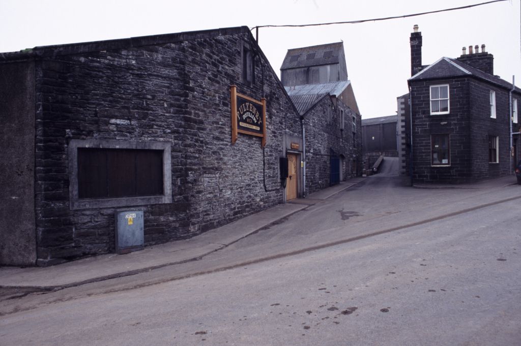
Old Pulteney distillery
Old Pulteney distillery is a malt whisky production and aging facility in the Pulteneytown area of Wick, Caithness, in the Highland area of Scotland. The...
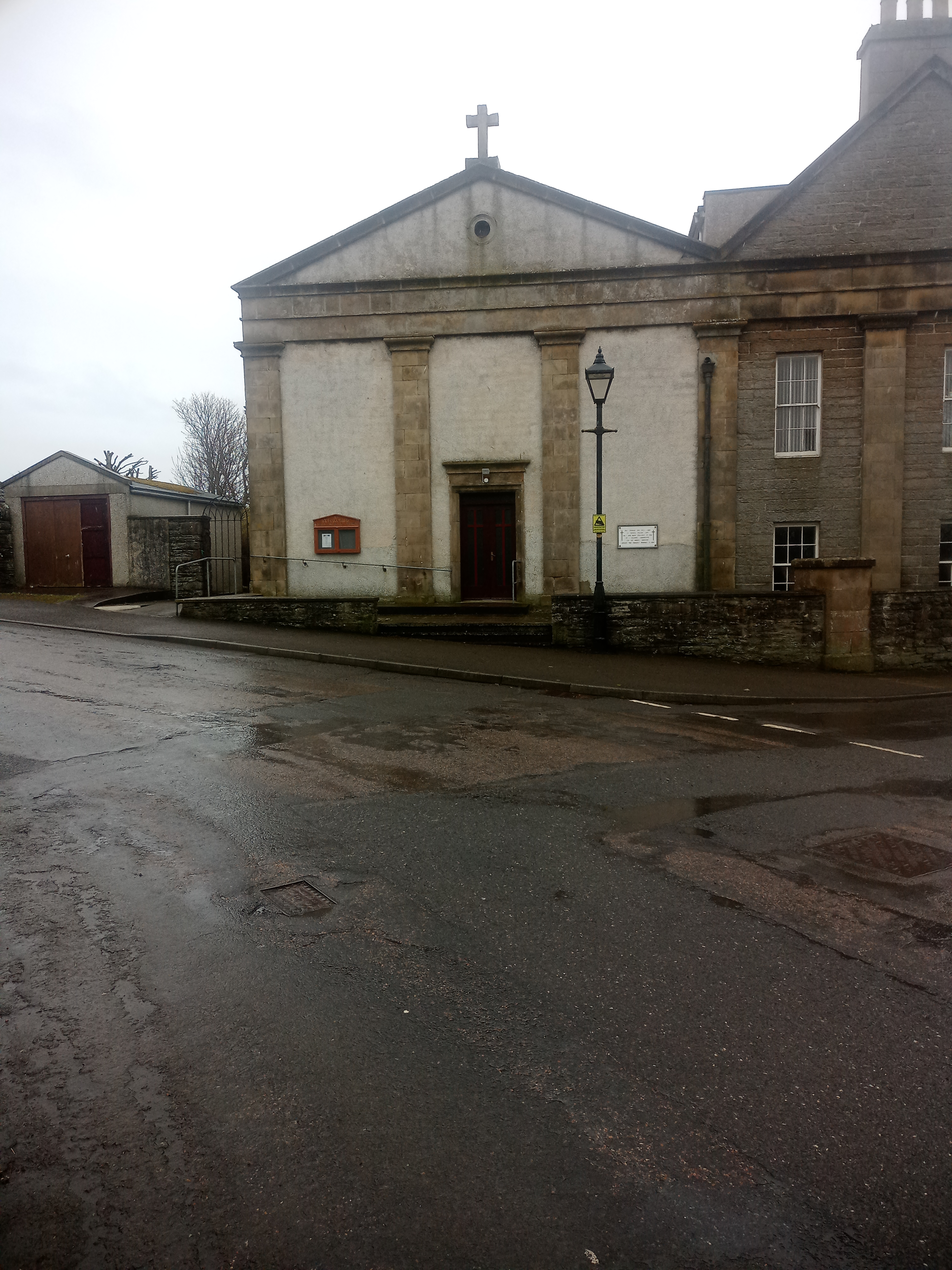
St Joachim's Church, Wick
St Joachim's Church is a Category B listed Roman Catholic church in Wick, Scotland. == History == There was no significant Catholic congregation in Wick...

Pulteneytown Central Church
Pulteneytown Central Church was founded in 1806 in the Pulteneytown area of Wick in Caithness in the far north of Scotland. As years went by, it was renamed...
Nearby Amenities
Located within 500m of 58.446401,-3.0538012Have you been to Fas Skerry?
Leave your review of Fas Skerry below (or comments, questions and feedback).