The Clett
Island in Caithness
Scotland
The Clett
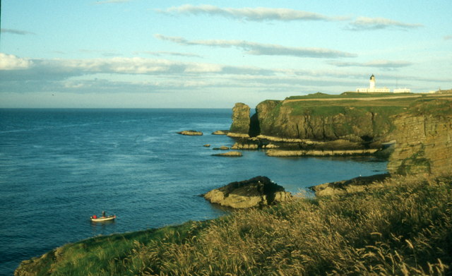
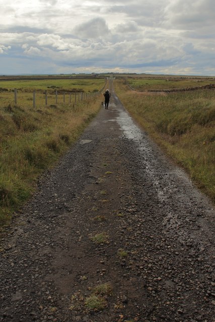
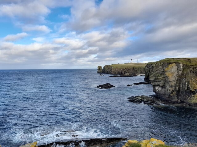
The Clett is a small uninhabited island located off the coast of Caithness, in the northern part of Scotland. It is situated approximately 500 meters from the mainland, near the village of Staxigoe. The island is easily accessible by boat during low tide, as a natural causeway connects it to the mainland. However, during high tide, the causeway is submerged, making the island appear as if it is floating in the sea.
The Clett is known for its rugged and rocky terrain, with cliffs rising up to 30 meters in height. The island is relatively small, measuring only about 300 meters long and 100 meters wide. Despite its size, it is home to a variety of seabirds, including puffins, guillemots, and razorbills, which nest in the cliffs during the breeding season.
The island offers breathtaking views of the surrounding coastline and the North Sea. Its isolation and unspoiled natural beauty make it a popular destination for nature enthusiasts, birdwatchers, and photographers. Visitors can explore the island's rocky shores, observe the bird colonies, and enjoy the peacefulness of the remote location.
Due to its proximity to the mainland, the Clett has a rich history intertwined with Caithness. It is believed to have served as a lookout point during Viking invasions in the past. Today, the island serves as a reminder of the area's historical significance and a testament to the power of nature's forces in shaping the landscape.
If you have any feedback on the listing, please let us know in the comments section below.
The Clett Images
Images are sourced within 2km of 58.480043/-3.0554086 or Grid Reference ND3855. Thanks to Geograph Open Source API. All images are credited.
The Clett is located at Grid Ref: ND3855 (Lat: 58.480043, Lng: -3.0554086)
Unitary Authority: Highland
Police Authority: Highlands and Islands
What 3 Words
///truck.depending.troubles. Near Wick, Highland
Related Wikis

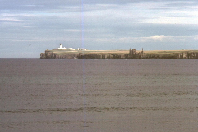
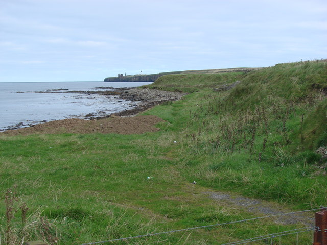
Noss Head
Noss Head is a headland on the north-west coast of Scotland that overlooks Sinclairs Bay. It lies approximately 5 kilometres (3.1 mi) north-east of Wick...

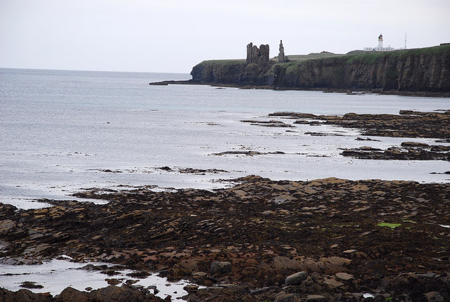
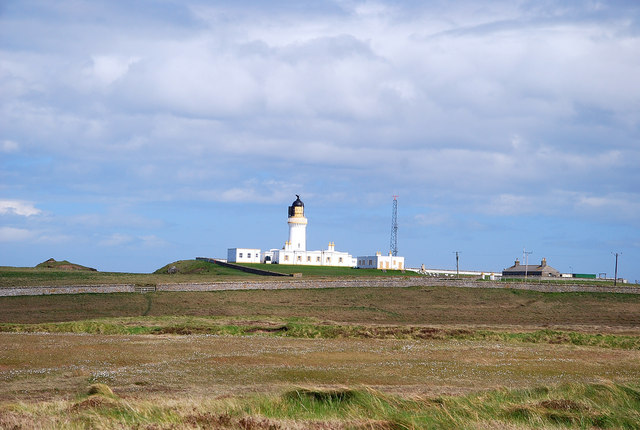
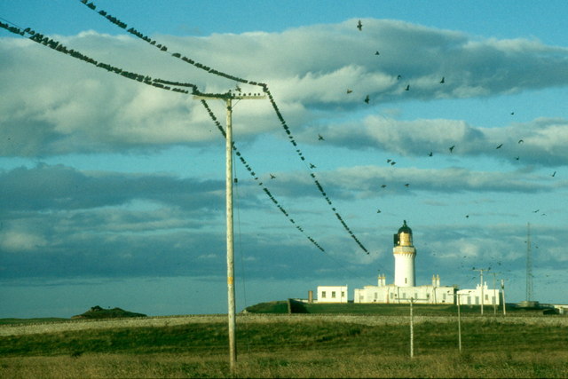
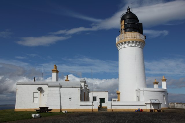
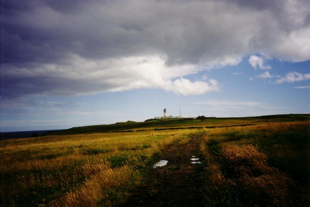
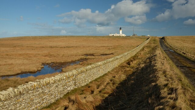
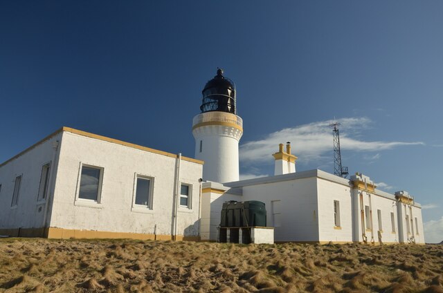
Noss Head Lighthouse
The Noss Head Lighthouse is an active 19th-century lighthouse near Wick in Caithness in the Highland council area of Scotland. It is located at the end...

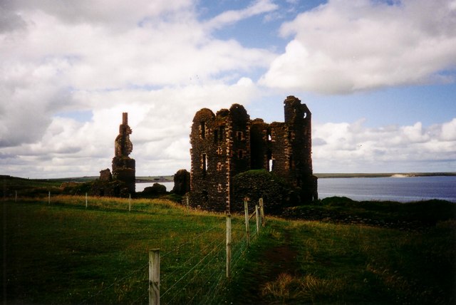
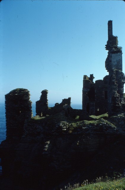
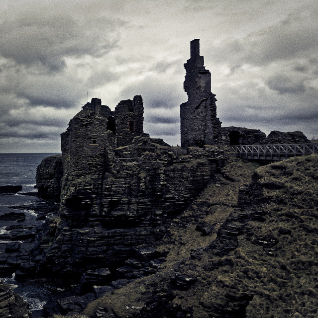
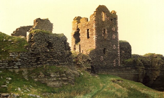
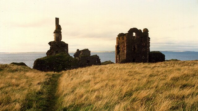
Castle Sinclair Girnigoe
Castle Sinclair Girnigoe is located about 3 miles north of Wick on the east coast of Caithness, Scotland. It is considered to be one of the earliest seats...
Battle of Champions
The Battle of Champions was a trial by combat fought in 1478 or 1464 between two Scottish clans, Clan Gunn and Clan Keith. It took place at the chapel...

Staxigoe
Staxigoe is a former fishing village, located 2 miles east of Wick on the north-eastern coast of the former county of Caithness, Scottish Highlands and...
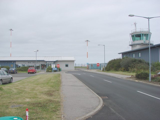
Wick Airport
Wick John O' Groats Airport (IATA: WIC, ICAO: EGPC) (Scottish Gaelic: Port-adhair Inbhir Ùige Taigh Iain Ghròt) is located one nautical mile (two kilometres...
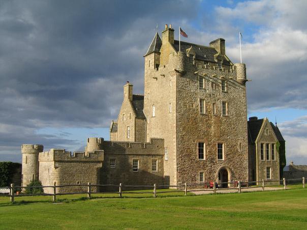
Ackergill Tower
Ackergill Tower (or Ackergill Castle) is located on the coast of Sinclair's Bay, about 4 km north of Wick, Caithness, in northern Scotland. It was built...
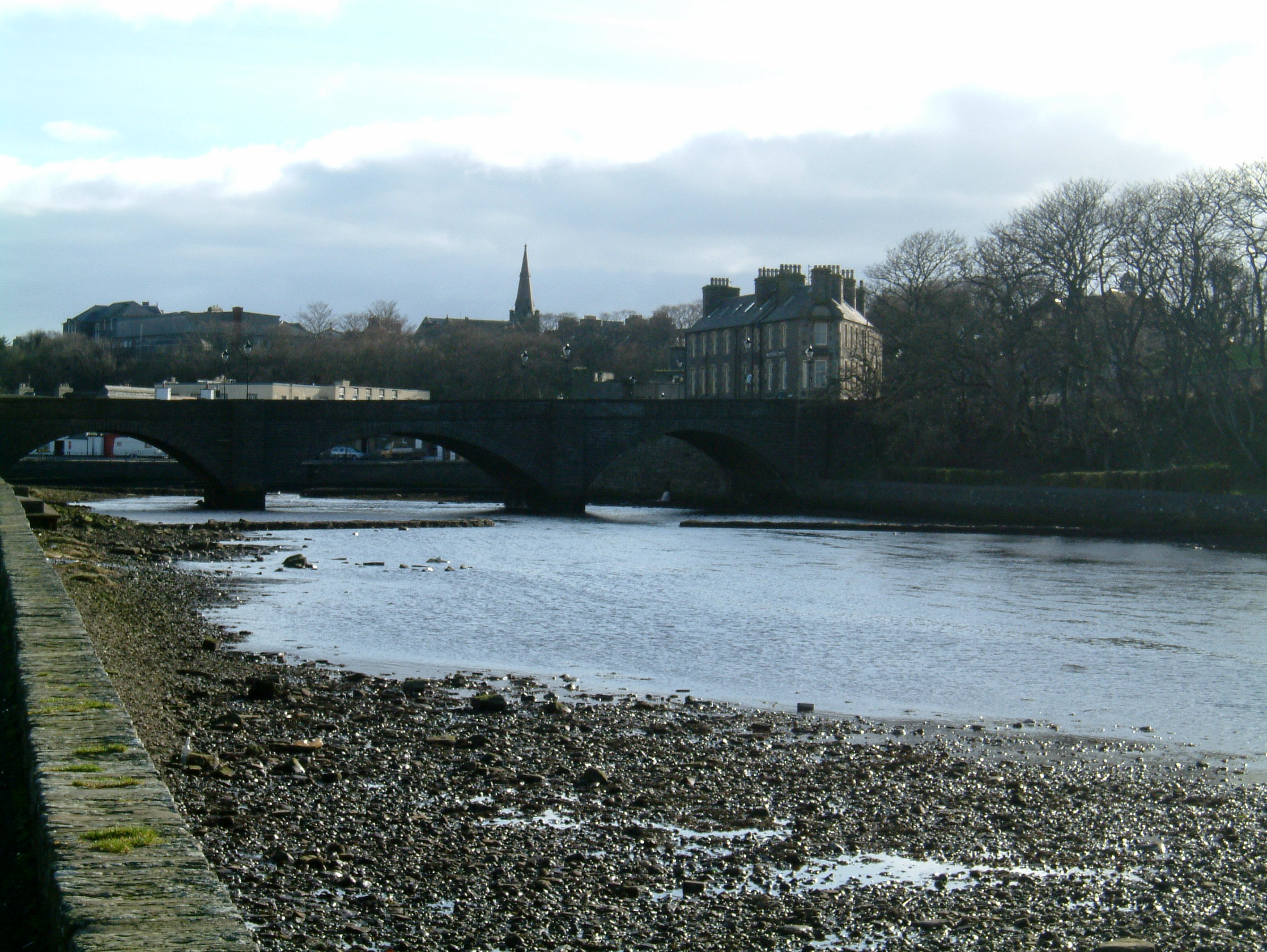
Wick, Caithness
Wick (Scottish Gaelic: Inbhir Ùige [ˈinivɪɾʲˈuːkʲə]; Scots: Week) is a town and royal burgh in Caithness, in the far north of Scotland. The town straddles...
Nearby Amenities
Located within 500m of 58.480043,-3.0554086Have you been to The Clett?
Leave your review of The Clett below (or comments, questions and feedback).