Broad Haven
Bay in Caithness
Scotland
Broad Haven
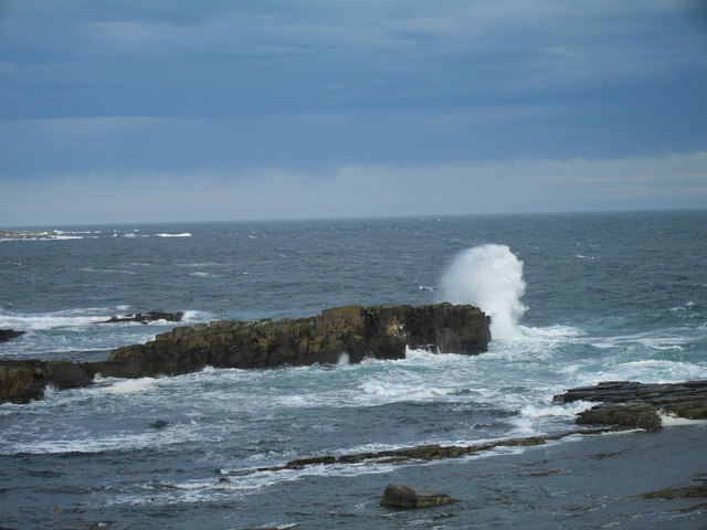
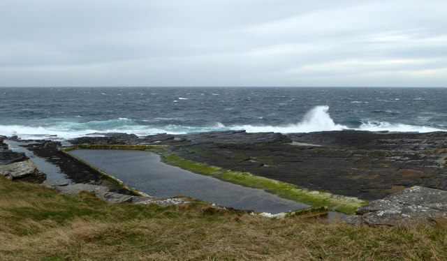
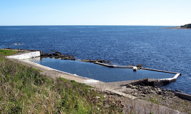
Broad Haven, Caithness (Bay) is a picturesque coastal village located on the northern coast of Scotland. Situated in the county of Caithness, it is known for its stunning natural beauty, rugged cliffs, and expansive sandy beach. The bay itself stretches for approximately 2.5 kilometers, providing ample space for outdoor activities and scenic walks along the shore.
The village of Broad Haven is small and peaceful, offering a tranquil retreat for visitors seeking a break from the bustling city life. It has a close-knit community and a welcoming atmosphere, making it an ideal destination for families, couples, and nature enthusiasts. The charming houses and cottages in the village add to its quaint appeal.
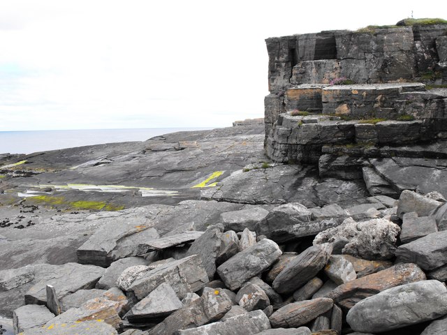
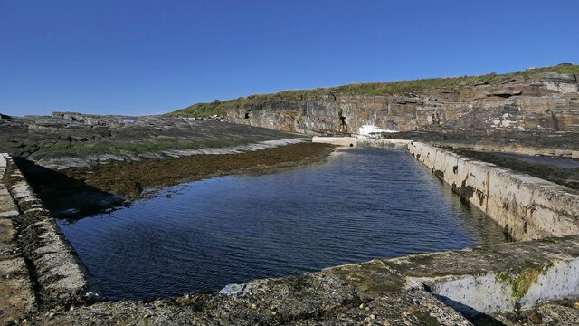
The bay is surrounded by dramatic cliffs that offer breathtaking views of the North Sea. These cliffs are popular among birdwatchers, as they provide a habitat for various bird species, including fulmars, guillemots, and puffins. The beach itself is a haven for beachcombers and water sports enthusiasts, with its soft sands and clear waters.
For those interested in history, Broad Haven is home to the ruins of Castle Sinclair Girnigoe, a medieval fortress that dates back to the 15th century. Exploring these ancient ruins offers a glimpse into Scotland's rich history and architectural heritage.
Overall, Broad Haven, Caithness (Bay) is a hidden gem on Scotland's northern coast, offering a peaceful and picturesque retreat with stunning natural landscapes, rich wildlife, and a sense of tranquility for all who visit.
If you have any feedback on the listing, please let us know in the comments section below.
Broad Haven Images
Images are sourced within 2km of 58.445362/-3.0578989 or Grid Reference ND3851. Thanks to Geograph Open Source API. All images are credited.

![Anti Aircraft Battery, Hill Of Man Canmore.org.uk. (2021). Wick, Hill Of Man | Canmore. [online] Available at: <span class="nowrap"><a title="https://canmore.org.uk/site/119920/wick-hill-of-man" rel="nofollow ugc noopener" href="https://canmore.org.uk/site/119920/wick-hill-of-man">Link</a><img style="margin-left:2px;" alt="External link" title="External link - shift click to open in new window" src="https://s1.geograph.org.uk/img/external.png" width="10" height="10"/></span> [Accessed 4 Jun. 2021].](https://s1.geograph.org.uk/geophotos/06/85/84/6858421_7f8f3d36.jpg)


Broad Haven is located at Grid Ref: ND3851 (Lat: 58.445362, Lng: -3.0578989)
Unitary Authority: Highland
Police Authority: Highlands and Islands
What 3 Words
///even.deferring.travel. Near Wick, Highland
Nearby Locations
Related Wikis

Papigoe
Papigoe is a village on the east coast of Caithness, at the head of Broad Haven Bay in the Scottish Highlands and is in the Scottish council area of Highland...

Staxigoe
Staxigoe is a former fishing village, located 2 miles east of Wick on the north-eastern coast of the former county of Caithness, Scottish Highlands and...
Pulteneytown Parish Church
Pulteneytown Parish Church is located in Argyle Square, Pulteneytown, Wick, Caithness, Scotland. It is a congregation in the Church of Scotland. The church...
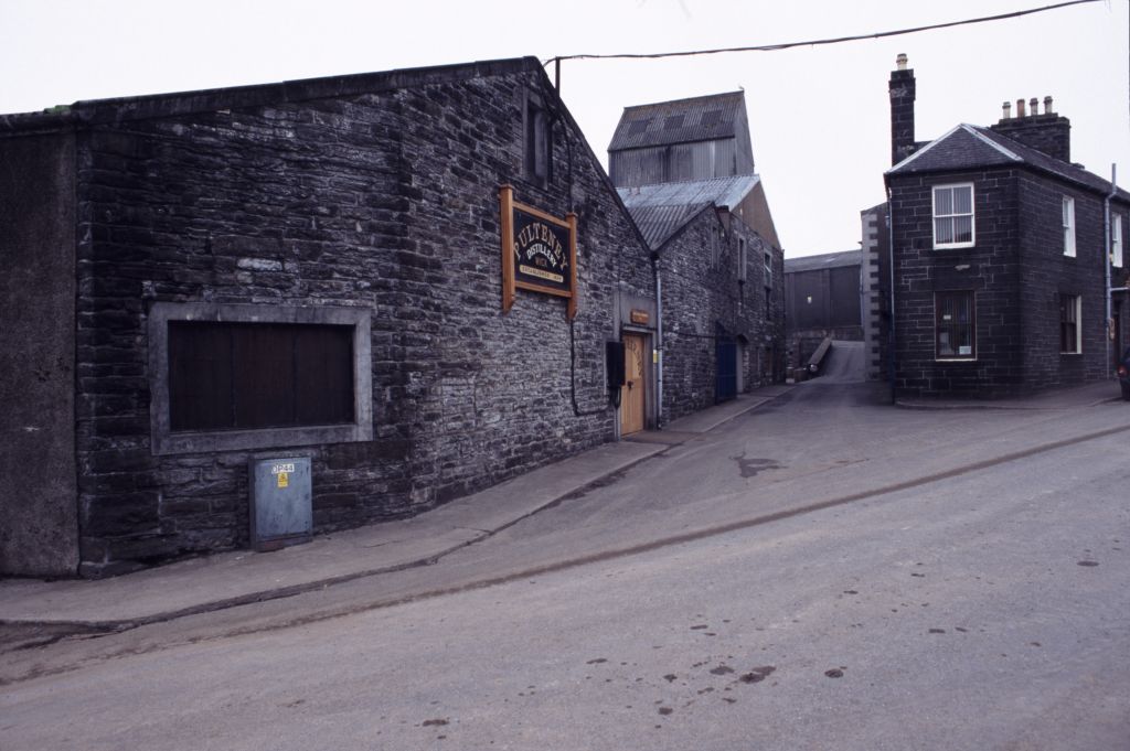
Old Pulteney distillery
Old Pulteney distillery is a malt whisky production and aging facility in the Pulteneytown area of Wick, Caithness, in the Highland area of Scotland. The...
Nearby Amenities
Located within 500m of 58.445362,-3.0578989Have you been to Broad Haven?
Leave your review of Broad Haven below (or comments, questions and feedback).