Otter Geo

Coastal Feature, Headland, Point in Caithness

Scotland

Otter Geo

Cliff Face Cliff face at South Head, below the old Coastguard Station
Cliff Face Credit: John MacKenzie

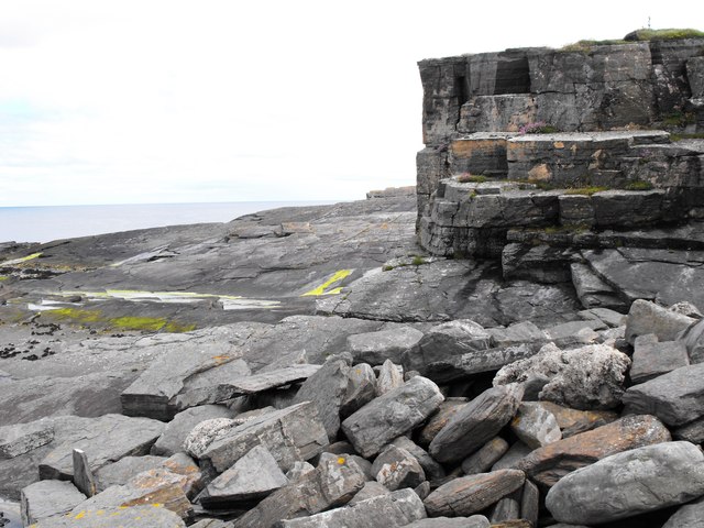
Otter Geo is a stunning coastal feature located in Caithness, Scotland. Situated on the northeast coast of the country, Otter Geo is a prominent headland that juts out into the North Sea. This captivating point is known for its rugged cliffs, dramatic landscapes, and breathtaking views.

The name "Otter Geo" derives from the presence of otters in the area, which are frequently spotted along this stretch of coastline. The headland itself is characterized by steep cliffs that tower above the crashing waves below, creating a mesmerizing and picturesque scene.

Visitors to Otter Geo can expect to be surrounded by pristine natural beauty. The headland provides an ideal vantage point to observe the raw power of the ocean and the stunning coastal scenery that stretches for miles. The cliffs are composed of ancient rock formations, showcasing the geological history of the area.

Additionally, Otter Geo offers a habitat for a diverse range of wildlife. Seabirds can be seen soaring through the sky, while seals and dolphins frequently swim in the surrounding waters. The headland is also home to various plant species, adding to its ecological significance.

Exploring Otter Geo can be a thrilling experience for outdoor enthusiasts. Hiking trails along the headland allow visitors to immerse themselves in the natural beauty while enjoying panoramic views of the coastline. However, caution is advised as the cliffs can be dangerous and unpredictable.

Otter Geo is a remarkable coastal feature that offers a unique blend of natural beauty, geological wonders, and wildlife diversity. Its captivating landscapes and rich biodiversity make it a must-see destination for nature lovers and those seeking an unforgettable coastal experience in Caithness.

If you have any feedback on the listing, please let us know in the comments section below.
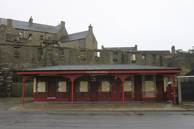
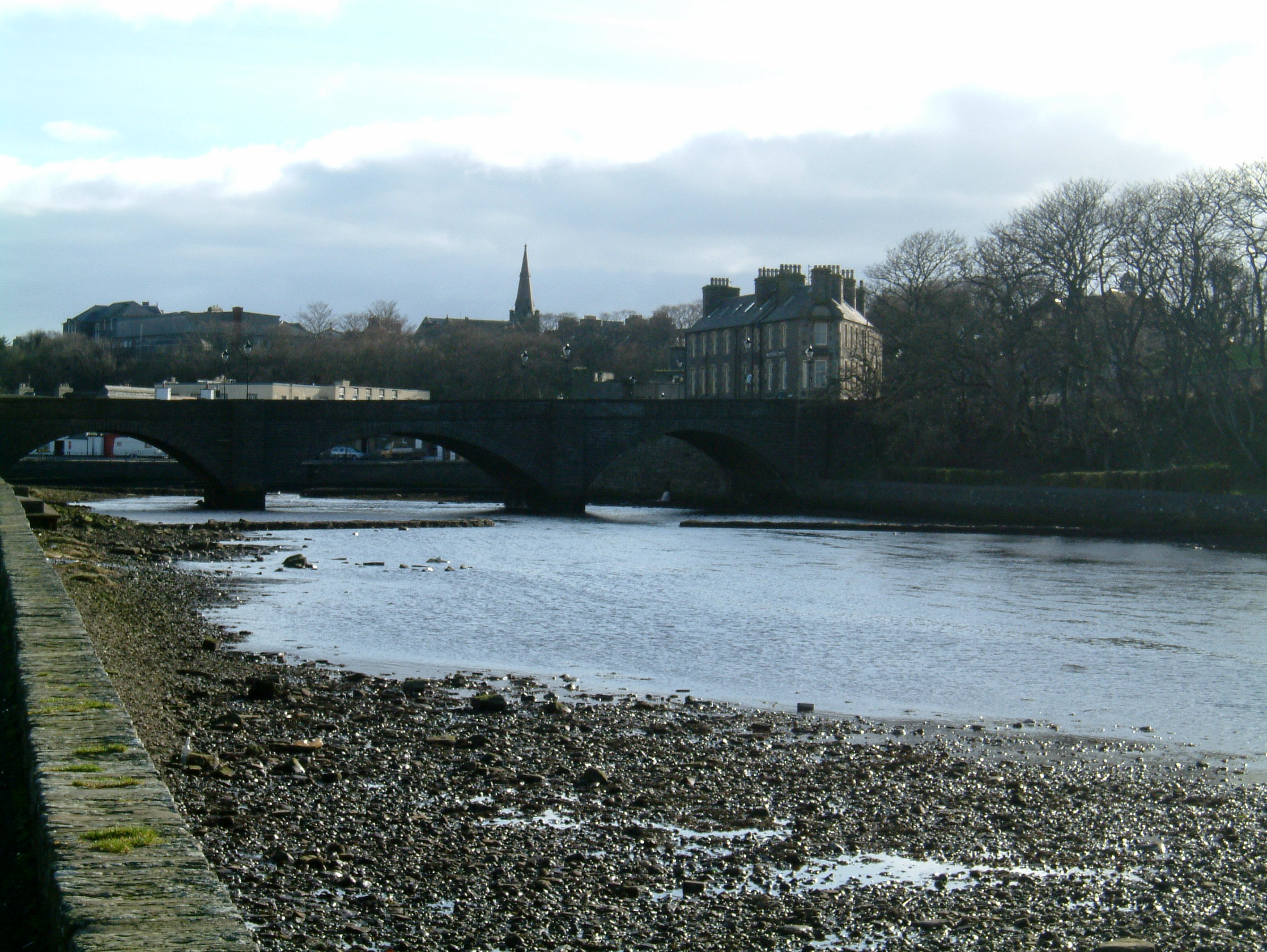
Otter Geo Images

Images are sourced within 2km of 58.447482/-3.0566776 or Grid Reference ND3851. Thanks to Geograph Open Source API. All images are credited.

Cliff Face Cliff face at South Head, below the old Coastguard Station
Cliff Face
Cliff face at South Head, below the old Coastguard Station
View across the entrance to Wick Bay With a fishing boat entering port past South Head.
View across the entrance to Wick Bay
With a fishing boat entering port past South Head.
Coastguard Lookout Hill of Man, Wick.
Coastguard Lookout
Hill of Man, Wick.
View over Wick Bay From near the Coastguard Lookout, with a fishing boat entering harbour.
View over Wick Bay
From near the Coastguard Lookout, with a fishing boat entering harbour.
Yachts Ashore Yachts ashore at Wick harbour
Yachts Ashore
Yachts ashore at Wick harbour
Over wintered at Wick Harbour Collection of small boats ashore at Wick harbour
Over wintered at Wick Harbour
Collection of small boats ashore at Wick harbour
Boat Repair Slip Disused fishing boat repair slipway at Wick harbour. Picture taken at low tide.
Boat Repair Slip
Disused fishing boat repair slipway at Wick harbour. Picture taken at low tide.
North Baths, Wick The North Baths was officially opened on 7th Sept 1904. The pool continued in use for the next 60 plus years until it was abandoned in favour of the new indoor pool. The baths fell into dereliction until its restoration in 2004.
See Link: <span class="nowrap"><a title="http://www.caithness.org/community/environment/friendstrinkienorthbaths/index.htm" rel="nofollow ugc noopener" href="http://www.caithness.org/community/environment/friendstrinkienorthbaths/index.htm">Link</a><img style="margin-left:2px;" alt="External link" title="External link - shift click to open in new window" src="https://s1.geograph.org.uk/img/external.png" width="10" height="10"/></span>
North Baths, Wick
The North Baths was officially opened on 7th Sept 1904. The pool continued in use for the next 60 plus years until it was abandoned in favour of the new indoor pool. The baths fell into dereliction until its restoration in 2004. See Link: LinkExternal link
Wick Harbour Bridge The Harbour Bridge viewed from Victoria Place.
Wick Harbour Bridge
The Harbour Bridge viewed from Victoria Place.
Unloading at Wick River Harbour Cargo ship and crane in action.  The ship is in the River Harbour over the North Pier.  The foreground comprises the Inner Harbour.
Unloading at Wick River Harbour
Cargo ship and crane in action. The ship is in the River Harbour over the North Pier. The foreground comprises the Inner Harbour.
Large Barometer at Harbour Place Wall mounted and boxed.  You need a ladder to tap it though!
Large Barometer at Harbour Place
Wall mounted and boxed. You need a ladder to tap it though!
The Shore, Wick On the left is Wick Harbour Bridge.
The Shore, Wick
On the left is Wick Harbour Bridge.
Old building by Broad Haven
Wick harbour
Wick harbour
John O'Groats ferry in Wick harbour Easter 2012
The Wick lifeboat and inner harbour
Crab boat unloads its catch in Wick harbour
Wick Herring Market This was once a very busy place!
Wick Herring Market
This was once a very busy place!
Show me another place!

Otter Geo is located at Grid Ref: ND3851 (Lat: 58.447482, Lng: -3.0566776)

Unitary Authority: Highland

Police Authority: Highlands and Islands

What 3 Words

///gambles.frozen.aviators. Near Wick, Highland

Related Wikis

Papigoe

Papigoe is a village on the east coast of Caithness, at the head of Broad Haven Bay in the Scottish Highlands and is in the Scottish council area of Highland...

Staxigoe

Staxigoe is a former fishing village, located 2 miles east of Wick on the north-eastern coast of the former county of Caithness, Scottish Highlands and...

Wick, Caithness

Wick (Scottish Gaelic: Inbhir Ùige [ˈinivɪɾʲˈuːkʲə]; Scots: Week) is a town and royal burgh in Caithness, in the far north of Scotland. The town straddles...

County Offices, Wick

County Offices, formerly Stafford Place, is a municipal structure in the High Street, Wick, Caithness, Scotland. The façade of the building, which was...

Nearby Amenities

Located within 500m of 58.447482,-3.0566776
Bus Stop
Broadhaven Road
Naptan AtcoCode: 6700600209
Naptan Bearing: SW
Naptan CommonName: Broadhaven Road
Naptan Indicator: at Mowat Place
Naptan Landmark: Mowat Place
Naptan NaptanCode: 45326363
Naptan Street: Broadhaven Road
Naptan Verified: no
Source: naptan_import
Lat/Long: 58.4476514/-3.0616896
Bus Stop
Broadhaven Road
Naptan AtcoCode: 6700600210
Naptan Bearing: SW
Naptan CommonName: Broadhaven Road
Naptan Indicator: at Pilot Row
Naptan Landmark: Pilot Row
Naptan NaptanCode: 45326364
Naptan Street: Broadhaven Road
Naptan Verified: no
Source: naptan_import
Lat/Long: 58.4502212/-3.0572263
Papigoe
Place: village
Wikidata: Q7132835
Wikipedia: en:Papigoe
Lat/Long: 58.4492843/-3.0571606
Generator Method: photovoltaic
Generator Output Electricity: yes
Generator Source: solar
Generator Type: solar_photovoltaic_panel
Location: roof
Power: generator
Lat/Long: 58.4472963/-3.0601993
Give Way
Direction: backward
Lat/Long: 58.4477443/-3.0615431
The data included in this document is from www.openstreetmap.org. The data is made available under ODbL.

Have you been to Otter Geo?

Leave your review of Otter Geo below (or comments, questions and feedback).