Lynnwood

Settlement in Roxburghshire

Scotland

Lynnwood

Woodland on Vertish Hill Looking over Hawick Golf Club's course towards Vertish Hill.
Woodland on Vertish Hill Credit: Richard Webb

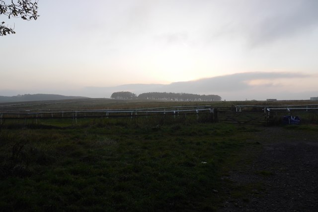
Lynnwood is a small village located in Roxburghshire, a historic county in the Scottish Borders region of Scotland. Situated in the southeastern part of the country, Lynnwood is nestled amidst picturesque rolling hills and breathtaking natural landscapes. The village is situated approximately 6 miles southwest of the town of Kelso and is surrounded by lush green fields and farmland.

Lynnwood has a population of around 200 residents, making it a close-knit and friendly community. The village is known for its tranquil atmosphere and the strong sense of community spirit among its residents. The local economy is primarily based on agriculture, with many of the villagers involved in farming and livestock breeding.

One of the main attractions in Lynnwood is its charming village square, which features a few small shops, a post office, and a local pub. This square serves as a gathering place for both locals and visitors, where they can enjoy a pint of local ale or engage in friendly conversations. The village also boasts a beautiful parish church, which is a prominent landmark and holds regular religious services.

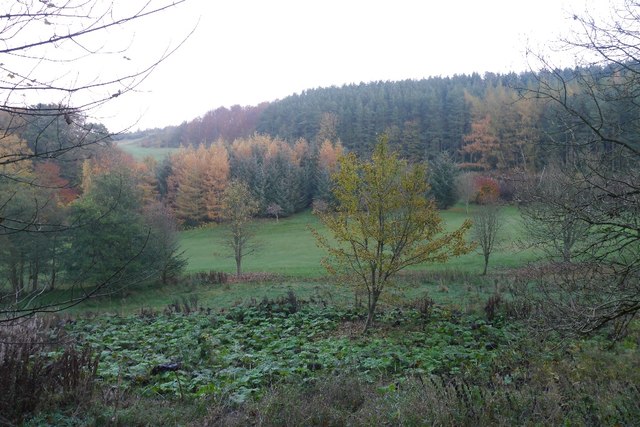
Lynnwood is surrounded by stunning natural beauty, making it an ideal destination for outdoor enthusiasts. The area offers numerous opportunities for hiking, cycling, and exploring the nearby countryside. Visitors can enjoy peaceful walks along scenic trails, taking in the panoramic views and observing the local wildlife.

Overall, Lynnwood is a serene and idyllic village, offering a peaceful escape from the hustle and bustle of city life. With its beautiful surroundings and warm community spirit, it is a welcoming place for both residents and visitors alike.

If you have any feedback on the listing, please let us know in the comments section below.
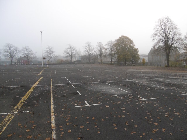
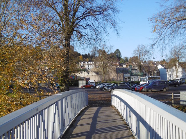
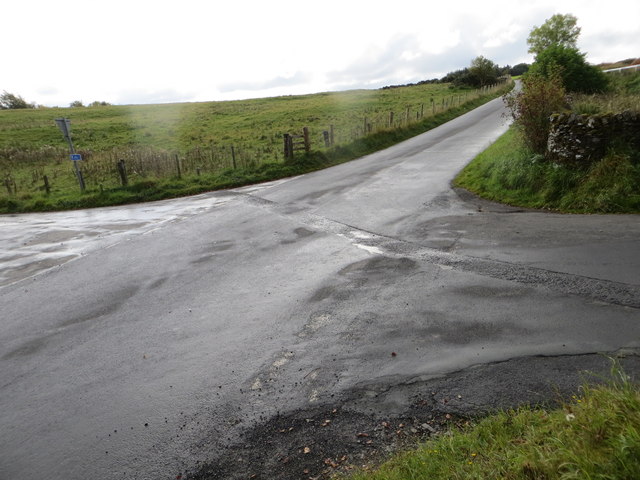
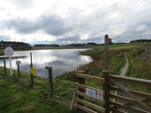
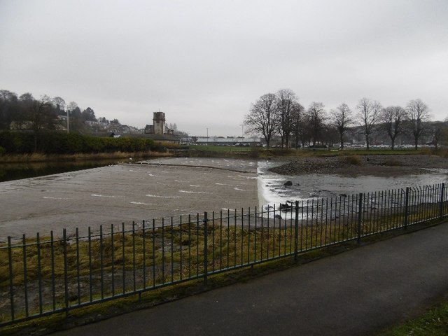
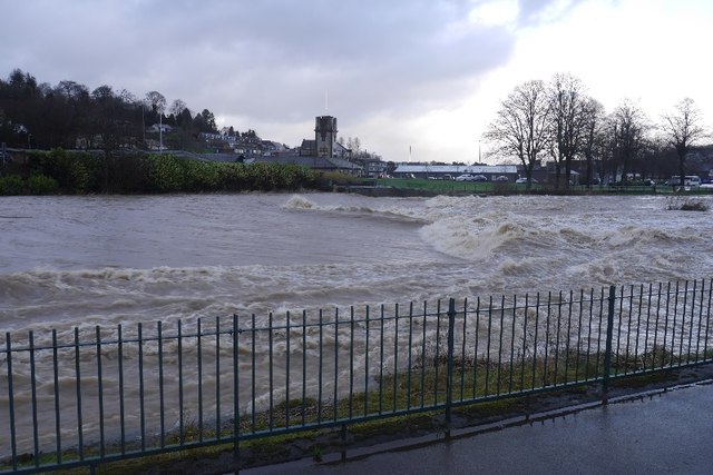
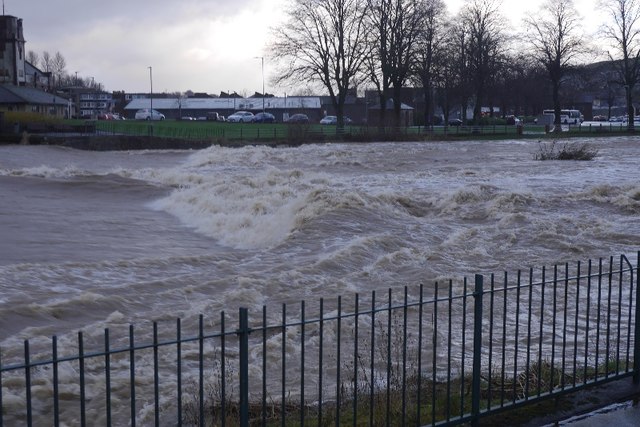
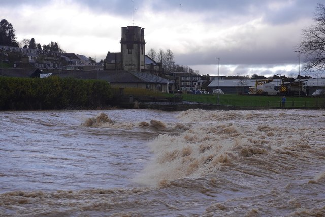
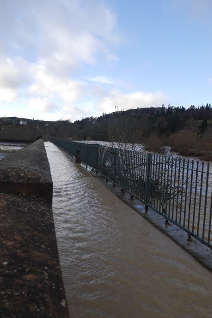
Lynnwood Images

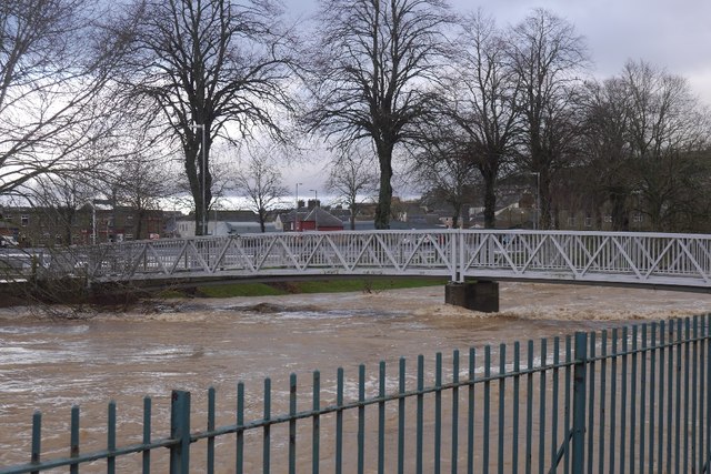
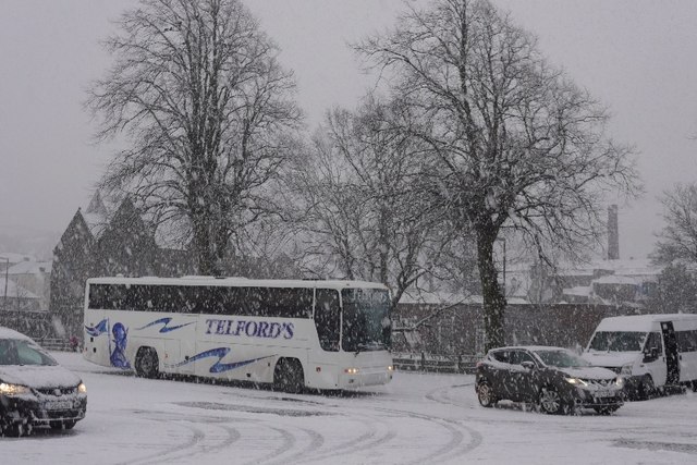
Images are sourced within 2km of 55.408263/-2.8070031 or Grid Reference NT4913. Thanks to Geograph Open Source API. All images are credited.

Woodland on Vertish Hill Looking over Hawick Golf Club's course towards Vertish Hill.
Woodland on Vertish Hill
Looking over Hawick Golf Club's course towards Vertish Hill.
St Leonard's Park The racecourse plays a big part in the Common Riding.
St Leonard's Park
The racecourse plays a big part in the Common Riding.
River Teviot Downstream of Martin's Bridge.
River Teviot
Downstream of Martin's Bridge.
River Teviot, Hawick Hawick High School on the left.
River Teviot, Hawick
Hawick High School on the left.
Common Haugh, Hawick The car park was empty as it was closed for line work.
Common Haugh, Hawick
The car park was empty as it was closed for line work.
Lawson Bridge, Hawick A little upstream of its predecessor, it is often used by Hawick High School pupils to get their buses on The Haugh.
Lawson Bridge, Hawick
A little upstream of its predecessor, it is often used by Hawick High School pupils to get their buses on The Haugh.
Ordnance Survey Flush Bracket 1491 This heavily over-painted bracket can be found on the wall of a private dwelling in Lynnwood.
For more detail see : <span class="nowrap"><a title="http://www.bench-marks.org.uk/bm1210" rel="nofollow ugc noopener" href="http://www.bench-marks.org.uk/bm1210">Link</a><img style="margin-left:2px;" alt="External link" title="External link - shift click to open in new window" src="https://s1.geograph.org.uk/img/external.png" width="10" height="10"/></span>
Ordnance Survey Flush Bracket 1491
This heavily over-painted bracket can be found on the wall of a private dwelling in Lynnwood. For more detail see : LinkExternal link
Ordnance Survey Fundamental Bench Mark - Hawick This can be found hidden in the grass on the roadside verge of the cross-roads near Nipknowes Quarry.
For more detail see : <span class="nowrap"><a title="http://www.bench-marks.org.uk/bm1079" rel="nofollow ugc noopener" href="http://www.bench-marks.org.uk/bm1079">Link</a><img style="margin-left:2px;" alt="External link" title="External link - shift click to open in new window" src="https://s1.geograph.org.uk/img/external.png" width="10" height="10"/></span>
Ordnance Survey Fundamental Bench Mark - Hawick
This can be found hidden in the grass on the roadside verge of the cross-roads near Nipknowes Quarry. For more detail see : LinkExternal link
Cross Roads near Nipknowes Quarry Looking westward.
Cross Roads near Nipknowes Quarry
Looking westward.
Ordnance Survey Flush Bracket G486 This can be found on the retaining wall of Branxholm Bridge.
For more detail see : <span class="nowrap"><a title="http://www.bench-marks.org.uk/bm20289" rel="nofollow ugc noopener" href="http://www.bench-marks.org.uk/bm20289">Link</a><img style="margin-left:2px;" alt="External link" title="External link - shift click to open in new window" src="https://s1.geograph.org.uk/img/external.png" width="10" height="10"/></span>
Ordnance Survey Flush Bracket G486
This can be found on the retaining wall of Branxholm Bridge. For more detail see : LinkExternal link
Williestruther Loch Looking south-westward.
Williestruther Loch
Looking south-westward.
Cauld, Hawick The River Teviot in a relatively benign mood. Note the big shingle bank beneath the cauld.
Cauld, Hawick
The River Teviot in a relatively benign mood. Note the big shingle bank beneath the cauld.
Cauld, Hawick The weir upstream of the town during a spate. All footbridges were closed at the time.
Cauld, Hawick
The weir upstream of the town during a spate. All footbridges were closed at the time.
Teviot in spate After some hours of heavy rain.
Teviot in spate
After some hours of heavy rain.
Cauld, Hawick The Teviot shortly after it flooded the Common Haugh.
Cauld, Hawick
The Teviot shortly after it flooded the Common Haugh.
Flooded path, Hawick A wall gives some protection to Hawick High School as the Teviot rises to the edge of major flooding.
Flooded path, Hawick
A wall gives some protection to Hawick High School as the Teviot rises to the edge of major flooding.
Lawson Bridge, Hawick The river level is dropping after a rapid rise during heavy rain. The Common Haugh had flooded.
Lawson Bridge, Hawick
The river level is dropping after a rapid rise during heavy rain. The Common Haugh had flooded.
Common Haugh, Hawick The school bus for Newcastleton before a fraught journey home.
Common Haugh, Hawick
The school bus for Newcastleton before a fraught journey home.
Show me another place!

Lynnwood is located at Grid Ref: NT4913 (Lat: 55.408263, Lng: -2.8070031)

Unitary Authority: The Scottish Borders

Police Authority: The Lothians and Scottish Borders

What 3 Words

///suddenly.backyards.playoffs. Near Hawick, Scottish Borders

Related Wikis

Hawick Cottage Hospital

Hawick Cottage Hospital was a health facility at Buccleuch Road in Hawick, Scotland. It was managed by NHS Borders. It is a Category B listed building...

Hawick High School

Hawick High School is a non-denominational secondary school in Hawick, in the Scottish Borders. As well as serving the town, it also takes in pupils from...

Wilton Dean

Wilton Dean is a village in the Scottish Borders area of Scotland, on the Cala Burn, and close to the River Teviot. Along with Stirches and...

Slitrig Water

Slitrig Water (archaic Scots: Slitterick Waiter; current Southern Scots: Slitrig Witter), also known as the River Slitrig, is a river in the Scottish Borders...

Nearby Amenities

Located within 500m of 55.408263,-2.8070031
Crumhaugh Hill
Place: hamlet
Lat/Long: 55.4086339/-2.8108247
Power: pole
Lat/Long: 55.4127342/-2.8078921
Power: pole
Lat/Long: 55.4116914/-2.8095352
Power: pole
Lat/Long: 55.412116/-2.8107781
Power: pole
Lat/Long: 55.4123187/-2.8086179
Power: pole
Lat/Long: 55.4120277/-2.8090884
Power: pole
Lat/Long: 55.4115239/-2.8089988
Power: pole
Lat/Long: 55.4077749/-2.8125216
Power: pole
Lat/Long: 55.4116562/-2.8045232
Power: pole
Lat/Long: 55.4081357/-2.8114165
Power: pole
Lat/Long: 55.4096554/-2.8116633
Power: pole
Lat/Long: 55.4065185/-2.8113146
Power: pole
Lat/Long: 55.4078526/-2.8125796
Power: pole
Lat/Long: 55.4103223/-2.8110142
Power: pole
Lat/Long: 55.4083976/-2.8125269
Power: pole
Lat/Long: 55.411781/-2.8051401
Power: pole
Lat/Long: 55.4116745/-2.8066261
Power: pole
Lat/Long: 55.4088545/-2.8124894
Power: pole
Lat/Long: 55.4108522/-2.8007467
Power: pole
Lat/Long: 55.4083702/-2.8107674
Power: pole
Lat/Long: 55.4058606/-2.8107513
Power: pole
Lat/Long: 55.4106726/-2.810644
Power: pole
Lat/Long: 55.4071916/-2.8119637
Power: pole
Lat/Long: 55.4045511/-2.8105207
Power: pole
Lat/Long: 55.4042496/-2.8098394
Power: pole
Lat/Long: 55.4110928/-2.8102739
Power: pole
Lat/Long: 55.4113882/-2.8033001
Power: pole
Lat/Long: 55.4054221/-2.8106494
Power: pole
Lat/Long: 55.4110685/-2.8018571
Power: pole
Lat/Long: 55.4116105/-2.8075863
Crumhaugh Hill VHF Transmitter
Communication Dab: yes
Communication Dab+: yes
Communication Radio: yes
Man Made: mast
Tower Type: communication
Lat/Long: 55.4085834/-2.8114522
Power: pole
Lat/Long: 55.4114568/-2.8018763
The data included in this document is from www.openstreetmap.org. The data is made available under ODbL.

Have you been to Lynnwood?

Leave your review of Lynnwood below (or comments, questions and feedback).