Cerrig Gleision

Island in Caernarfonshire

Wales

Cerrig Gleision

The B4412 in Morfa Nefyn
The B4412 in Morfa Nefyn Credit: David Purchase

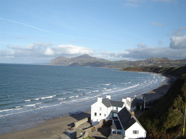
Cerrig Gleision is a small island located in the Menai Strait, off the coast of Caernarfonshire in Wales. It is situated between the mainland and the larger island of Anglesey, and is known for its picturesque landscapes and rich historical significance.

The island is approximately 0.5 square kilometers in size and is largely uninhabited, save for a few small cottages and farmhouses. It is primarily used for agricultural purposes, with sheep farming being the predominant activity. The island's terrain is characterized by rolling hills, scattered woodlands, and lush green pastures, making it a haven for nature enthusiasts and those seeking tranquility.

Cerrig Gleision boasts a diverse range of flora and fauna, with several bird species, including oystercatchers and curlews, making it their home. The island is also home to a variety of wildflowers, such as bluebells and primroses, which carpet the landscape during the spring months.

One of the island's notable features is the remains of a medieval tower, believed to have been built in the 13th century. The tower, known locally as "Castell y Cerrig Gleision," offers a glimpse into the island's historical past. It is a popular spot for visitors interested in history and architecture.

Access to Cerrig Gleision is limited, with no direct road connection. However, it can be reached by boat or via a footbridge from the mainland during low tide. The island's isolation and unspoiled beauty make it a hidden gem for those looking for a serene and off-the-beaten-path experience in Caernarfonshire.

If you have any feedback on the listing, please let us know in the comments section below.

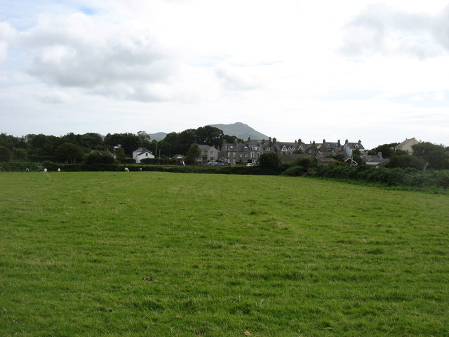
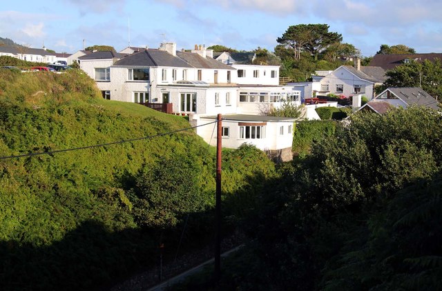
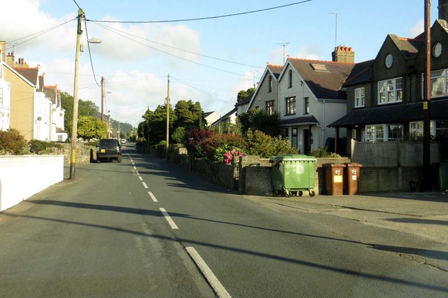
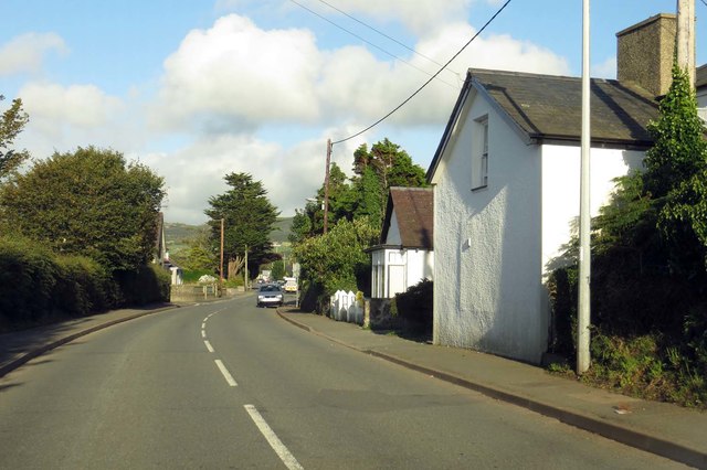
Cerrig Gleision Images

Images are sourced within 2km of 52.937928/-4.5464551 or Grid Reference SH2840. Thanks to Geograph Open Source API. All images are credited.

The B4412 in Morfa Nefyn
Morfa Nefyn With Carn Fadryn, 371m, behind.
Morfa Nefyn
With Carn Fadryn, 371m, behind.
Porthdinllaen from the car park Porthdinllaen has been owned by the National Trust since 1994.
Porthdinllaen from the car park
Porthdinllaen has been owned by the National Trust since 1994.
Porth Dinllaen
Porth Dinllaen
Porth Dinllaen Looking northwards from the track to Porth Dinllaen (or Porthdinllaen) across part of the Nefyn and District Golf Club course. Porth Dinllaen is situated on the eastern side of a remarkable little promontory which sticks out into Caernarfon Bay from the north coast of the Lleyn peninsula near the village of Morfa Nefyn.
"Porth" translates from Welsh as "gateway" I believe, but in this instance probably equates to "Port"
Porth Dinllaen
Looking northwards from the track to Porth Dinllaen (or Porthdinllaen) across part of the Nefyn and District Golf Club course. Porth Dinllaen is situated on the eastern side of a remarkable little promontory which sticks out into Caernarfon Bay from the north coast of the Lleyn peninsula near the village of Morfa Nefyn. "Porth" translates from Welsh as "gateway" I believe, but in this instance probably equates to "Port"
Ty Coch Inn, Porth Dinllaen The Ty Coch Inn is situated overlooking the bay of Porth Dinllaen. You have to walk along a path through a golf course to get to this pub as only a private road leads to it.
This remarkable pub is "officially ( <span class="nowrap"><a title="http://www.cheapflights.co.uk/news/top-10-beach-bars/" rel="nofollow ugc noopener" href="http://www.cheapflights.co.uk/news/top-10-beach-bars/">Link</a><img style="margin-left:2px;" alt="External link" title="External link - shift click to open in new window" src="https://s1.geograph.org.uk/img/external.png" width="10" height="10"/></span> )" in the top 10 beach bars in the World, and is indeed a fine hostelry. Their own website here <span class="nowrap"><a title="http://www.tycoch.co.uk" rel="nofollow ugc noopener" href="http://www.tycoch.co.uk">Link</a><img style="margin-left:2px;" alt="External link" title="External link - shift click to open in new window" src="https://s1.geograph.org.uk/img/external.png" width="10" height="10"/></span>
The pub was originally a vicarage built in 1823 but became a pub just 19 years later.
Ty Coch Inn, Porth Dinllaen
The Ty Coch Inn is situated overlooking the bay of Porth Dinllaen. You have to walk along a path through a golf course to get to this pub as only a private road leads to it. This remarkable pub is "officially ( LinkExternal link )" in the top 10 beach bars in the World, and is indeed a fine hostelry. Their own website here LinkExternal link The pub was originally a vicarage built in 1823 but became a pub just 19 years later.
Beach, pub and houses, Porth Dinllaen There is a little cluster of houses and <a href="https://www.geograph.org.uk/photo/4938439">SH2741 : Ty Coch Inn, Porth Dinllaen</a> adjacent to the beach at Porth Dinllaen. See the linked photo for more information on the pub.
Beach, pub and houses, Porth Dinllaen
There is a little cluster of houses and SH2741 : Ty Coch Inn, Porth Dinllaen adjacent to the beach at Porth Dinllaen. See the linked photo for more information on the pub.
Porth Dinllaen bay The beautiful bay of Porth Dinllaen north of the village of Morfa Nefyn on the north coast of the Lleyn peninsula of North Wales. The mountains rising in the background, are (I think) Yr Eifl achieving a height of 564m (1850') and completing the idyllic scene.
Porth Dinllaen bay
The beautiful bay of Porth Dinllaen north of the village of Morfa Nefyn on the north coast of the Lleyn peninsula of North Wales. The mountains rising in the background, are (I think) Yr Eifl achieving a height of 564m (1850') and completing the idyllic scene.
Looking across the golf course to Porthdinllaen The unusual little finger of land that sticks out into Caernarfon Bay to the north of the village of Morfa Nefyn forms part of the Nefyn and District golf course. a path leads through the course to the hamlet of Porthdinllaen and <a href="https://www.geograph.org.uk/photo/4938439">SH2741 : Ty Coch Inn, Porth Dinllaen</a>
Looking across the golf course to Porthdinllaen
The unusual little finger of land that sticks out into Caernarfon Bay to the north of the village of Morfa Nefyn forms part of the Nefyn and District golf course. a path leads through the course to the hamlet of Porthdinllaen and SH2741 : Ty Coch Inn, Porth Dinllaen
The B4417 entering Morfa Nefyn
Lon Terfyn in Morfa Nefyn Lon Las runs off to the left.
Lon Terfyn in Morfa Nefyn
Lon Las runs off to the left.
Lon Terfyn in Morfa Nefyn
National Trust sign at Porthdinllaen
Houses on Lon Bridin
Lon Golff in Morfa Nefyn
Lon Pen Rhos in Morfa Nefyn
Lon Isaf in Morfa Nefyn
Show me another place!

Cerrig Gleision is located at Grid Ref: SH2840 (Lat: 52.937928, Lng: -4.5464551)

Unitary Authority: Gwynedd

Police Authority: North Wales

What 3 Words

///practical.teeth.trade. Near Nefyn, Gwynedd

Related Wikis

Morfa Nefyn

Morfa Nefyn is a village on the northern coast of the Llŷn Peninsula in Gwynedd, Wales. It lies on the crossroads of the B4417 and B4412. The village has...

Porthdinllaen

Porthdinllaen (in English sometimes Porth Dinllaen) is a small coastal village on the Llŷn Peninsula in the Dwyfor area of Gwynedd, Wales, built on a small...

Nefyn

Nefyn (Welsh pronunciation: [ˈnɛvɨn], archaically anglicised as Nevin) is both a small town and a community on the northwest coast of the Llŷn Peninsula...

Porthdinllaen Lifeboat Station

Porthdinllaen Lifeboat Station (Welsh Gorsaf Bad Achub Porthdinllaen) is a Royal National Lifeboat Institution (RNLI) operated lifeboat station in the...

Nearby Amenities

Located within 500m of 52.937928,-4.5464551
Source: PGS
Lat/Long: 52.9392589/-4.5395197
Source: PGS
Lat/Long: 52.9388819/-4.5403748
Created By: dmgroom_coastlines
Source: PGS
Lat/Long: 52.93836/-4.541272
Created By: dmgroom_coastlines
Source: PGS
Lat/Long: 52.938222/-4.542116
Source: PGS
Lat/Long: 52.9370218/-4.55149
Barrier: kissing_gate
Lat/Long: 52.9378397/-4.541376
Bench
Lat/Long: 52.9366804/-4.553623
Bench
Lat/Long: 52.936737/-4.5515748
Bench
Lat/Long: 52.9368029/-4.5497715
Line Attachment: pin
Power: pole
Lat/Long: 52.9361396/-4.5431938
Line Attachment: anchor
Power: pole
Transformer: distribution
Lat/Long: 52.9368762/-4.5431413
Bench
Backrest: yes
Material: wood
Seats: 3
Lat/Long: 52.9383604/-4.5406192
Line Attachment: pin
Power: pole
Lat/Long: 52.9354276/-4.5431939
Man Made: utility_pole
Lat/Long: 52.9368645/-4.5432478
Man Made: utility_pole
Lat/Long: 52.9365325/-4.5422444
Man Made: utility_pole
Lat/Long: 52.9367607/-4.5425135
Power: pole
Lat/Long: 52.9354759/-4.5417175
Man Made: utility_pole
Lat/Long: 52.9383671/-4.5395181
Man Made: utility_pole
Lat/Long: 52.9376857/-4.5390943
Line Attachment: pin
Power: pole
Lat/Long: 52.9342456/-4.5442763
Line Attachment: pin
Power: pole
Lat/Long: 52.9350507/-4.5439357
Man Made: utility_pole
Lat/Long: 52.9369906/-4.5438337
The data included in this document is from www.openstreetmap.org. The data is made available under ODbL.

Have you been to Cerrig Gleision?

Leave your review of Cerrig Gleision below (or comments, questions and feedback).