Carreg yr Afr

Island in Caernarfonshire

Wales

Carreg yr Afr

The west side of Penrhyn Nefyn Looking towards Porth Dinllaen.
The west side of Penrhyn Nefyn Credit: David Medcalf

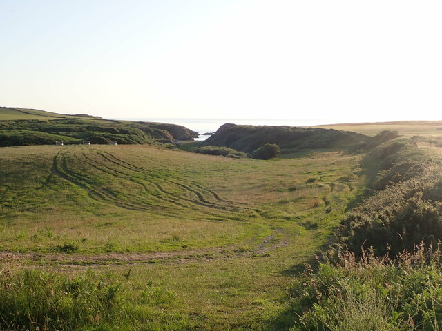
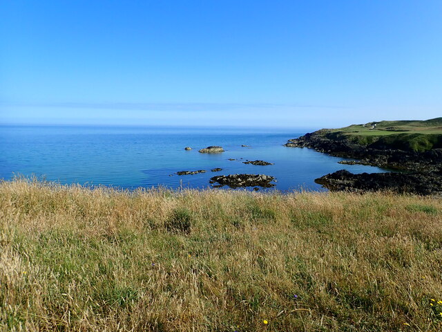
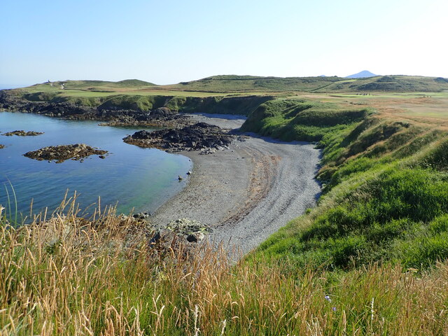
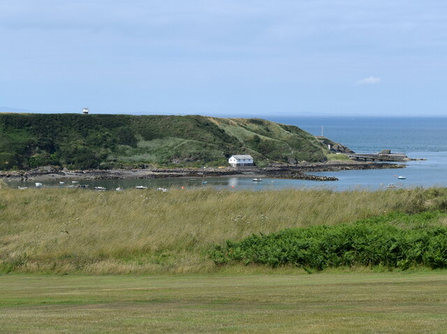
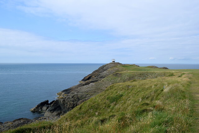
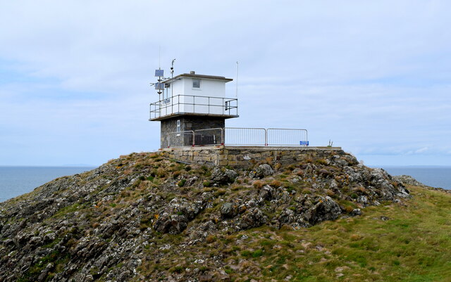
Carreg yr Afr is a small island located in the Menai Strait, off the coast of Caernarfonshire in North Wales. It is situated approximately 1.5 miles south of the town of Caernarfon. The island is known for its distinctive rock formation, which resembles the shape of an elephant. The name "Carreg yr Afr" translates to "Elephant Rock" in Welsh.

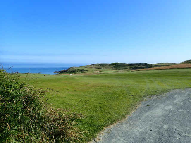
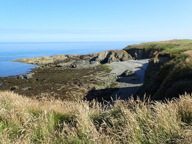
The island is made up of rugged cliffs and rocky outcrops, providing a natural habitat for various seabirds, including gulls, cormorants, and shags. It is also home to a small population of grey seals that can often be seen basking on the rocks or swimming in the surrounding waters.

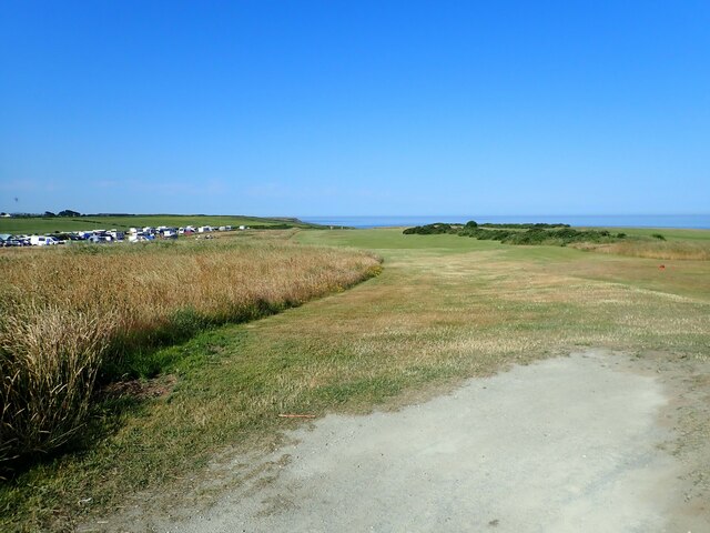
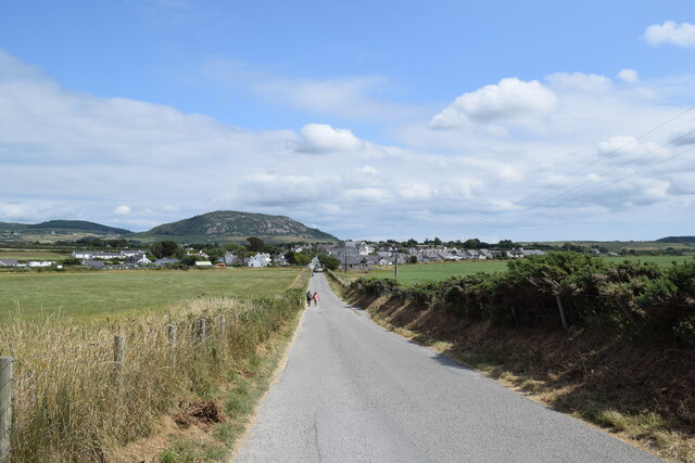
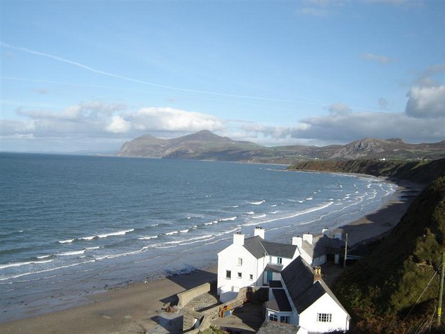
Access to Carreg yr Afr is limited and can only be reached by boat or kayak. The island is uninhabited and has no facilities or amenities, making it a popular destination for nature enthusiasts and those seeking solitude. It offers visitors a chance to explore its unique geological features, observe the diverse wildlife, and enjoy panoramic views of the Menai Strait and the Snowdonia mountain range.

Due to its proximity to Caernarfon, Carreg yr Afr is often included in sightseeing boat trips or kayaking excursions, allowing visitors to experience the island's natural beauty and learn about its geological significance. It is recommended to check tidal conditions and seek local advice before attempting to visit the island due to the strong currents in the Menai Strait.

If you have any feedback on the listing, please let us know in the comments section below.

Carreg yr Afr Images

Images are sourced within 2km of 52.948445/-4.5637463 or Grid Reference SH2742. Thanks to Geograph Open Source API. All images are credited.

The west side of Penrhyn Nefyn Looking towards Porth Dinllaen.
The west side of Penrhyn Nefyn
Looking towards Porth Dinllaen.
The path at the tip of Penrhyn Nefyn The path is crumbling steeply on both sides - not a place to linger.
The path at the tip of Penrhyn Nefyn
The path is crumbling steeply on both sides - not a place to linger.
Bench at the tip of Penrhyn Neftyn And a sea view to the Eifl headland
Bench at the tip of Penrhyn Neftyn
And a sea view to the Eifl headland
Rocky shore at Penrhyn Nefyn
Path down to Aber Geirch Aber Geirch - a small inlet west of Morfa Nefyn - the path runs from the campsite at Porthdinllaen Farm
Path down to Aber Geirch
Aber Geirch - a small inlet west of Morfa Nefyn - the path runs from the campsite at Porthdinllaen Farm
Nefyn Golf Links With the campsite at Porth Dinllaen Farm on the left.
Nefyn Golf Links
With the campsite at Porth Dinllaen Farm on the left.
Nefyn Golf Course
Nefyn Golf Course
Borth Wen A small rocky bay west of Porth Dinllaen
Borth Wen
A small rocky bay west of Porth Dinllaen
Borth Wen Shingle beach at Borth Wen. Nefyn golf course runs along the headland.
Borth Wen
Shingle beach at Borth Wen. Nefyn golf course runs along the headland.
Heath Spotted Orchid  Beside the Welsh Coast Path at Nefyn Golf Course
Heath Spotted Orchid
Beside the Welsh Coast Path at Nefyn Golf Course
Rocky reef and cove near Nefyn Golf Course
National Trust car park, Morfa Nefyn
Long walk to Porth Dinllaen Cars are banned from Porth Dinllean with its beach-side inn, which necessitates a 1-km walk from the village.
Long walk to Porth Dinllaen
Cars are banned from Porth Dinllean with its beach-side inn, which necessitates a 1-km walk from the village.
Looking towards Porth Dinllaen... ...from about 1 km to the south.
Looking towards Porth Dinllaen...
...from about 1 km to the south.
Clubhouse, Nefyn Golf Club
Looking towards the lookout The coastguard lookout at Trwyn Porth Dinllaen can just be seen in the distance.  The rocks to the left are breccia from the Gwna group, being sedimentary bedrock formed between 635 and 508 million years ago during the Ediacaran and Cambrian periods.
Looking towards the lookout
The coastguard lookout at Trwyn Porth Dinllaen can just be seen in the distance. The rocks to the left are breccia from the Gwna group, being sedimentary bedrock formed between 635 and 508 million years ago during the Ediacaran and Cambrian periods.
Coastguard lookout, Trwyn Porth Dinllaen
Heading for port A fishing boat heads for Nefyn Harbour and passes the buoy marking Carreg y Cwislen (Whistle Rock).  Seal watchers can be seen to the right.
Heading for port
A fishing boat heads for Nefyn Harbour and passes the buoy marking Carreg y Cwislen (Whistle Rock). Seal watchers can be seen to the right.
Show me another place!

Carreg yr Afr is located at Grid Ref: SH2742 (Lat: 52.948445, Lng: -4.5637463)

Unitary Authority: Gwynedd

Police Authority: North Wales

What 3 Words

///finger.tasteful.boggles. Near Nefyn, Gwynedd

Related Wikis

Porthdinllaen Lifeboat Station

Porthdinllaen Lifeboat Station (Welsh Gorsaf Bad Achub Porthdinllaen) is a Royal National Lifeboat Institution (RNLI) operated lifeboat station in the...

Porthdinllaen

Porthdinllaen (in English sometimes Porth Dinllaen) is a small coastal village on the Llŷn Peninsula in the Dwyfor area of Gwynedd, Wales, built on a small...

Morfa Nefyn

Morfa Nefyn is a village on the northern coast of the Llŷn Peninsula in Gwynedd, Wales. It lies on the crossroads of the B4417 and B4412. The village has...

Edern, Gwynedd

Edern, formerly known as Edeyrn, is a village and until 1939 a civil parish, in the Welsh county of Gwynedd. It is about 1 km southwest of the larger village...

Nearby Amenities

Located within 500m of 52.948445,-4.5637463
Created By: dmgroom_coastlines
Source: PGS
Lat/Long: 52.944441/-4.566091
Source: PGS
Lat/Long: 52.9444388/-4.5656414
Source: PGS
Lat/Long: 52.9451784/-4.5646286
Created By: dmgroom_coastlines
Source: PGS
Lat/Long: 52.945903/-4.5636816
Source: PGS
Lat/Long: 52.9463444/-4.5640689
Created By: dmgroom_coastlines
Source: PGS
Lat/Long: 52.9468141/-4.5644376
Source: PGS
Lat/Long: 52.9471385/-4.5643968
Created By: dmgroom_coastlines
Source: PGS
Lat/Long: 52.9480914/-4.5637658
Created By: dmgroom_coastlines
Source: PGS
Lat/Long: 52.9483847/-4.5643434
Created By: dmgroom_coastlines
Source: PGS
Lat/Long: 52.9483162/-4.5650851
Created By: dmgroom_coastlines
Source: PGS
Lat/Long: 52.9483542/-4.5655675
Created By: dmgroom_coastlines
Source: PGS
Lat/Long: 52.9485347/-4.566132
Created By: dmgroom_coastlines
Source: PGS
Lat/Long: 52.9485492/-4.5667609
Source: PGS
Lat/Long: 52.9479722/-4.5678506
Source: PGS
Lat/Long: 52.946897/-4.5677421
Source: PGS
Lat/Long: 52.9458218/-4.5677971
Created By: dmgroom_coastlines
Source: PGS
Lat/Long: 52.9451908/-4.5680919
Bench
Backrest: yes
Colour: brown
Material: wood
Seats: 3
Lat/Long: 52.947481/-4.5671077
Bench
Backrest: yes
Colour: brown
Material: wood
Seats: 3
Lat/Long: 52.9477725/-4.5645885
Seamark Mooring Category: buoy
Seamark Mooring Colour: orange
Seamark Name: RNLI
Seamark Source: Bing
Seamark Type: mooring
Lat/Long: 52.945054/-4.5610267
Golf: pin
Lat/Long: 52.9474542/-4.5665122
Golf: pin
Lat/Long: 52.9473697/-4.5648897
Golf: pin
Lat/Long: 52.9451838/-4.5659992
The data included in this document is from www.openstreetmap.org. The data is made available under ODbL.

Have you been to Carreg yr Afr?

Leave your review of Carreg yr Afr below (or comments, questions and feedback).