Red Isle
Island in Wigtownshire
Scotland
Red Isle

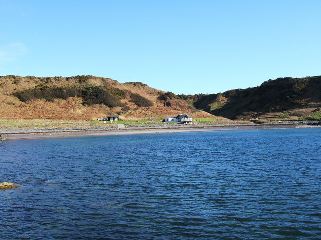
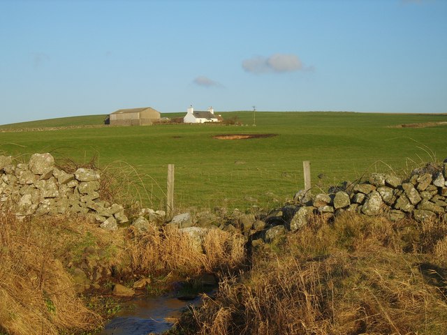
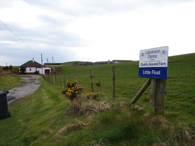
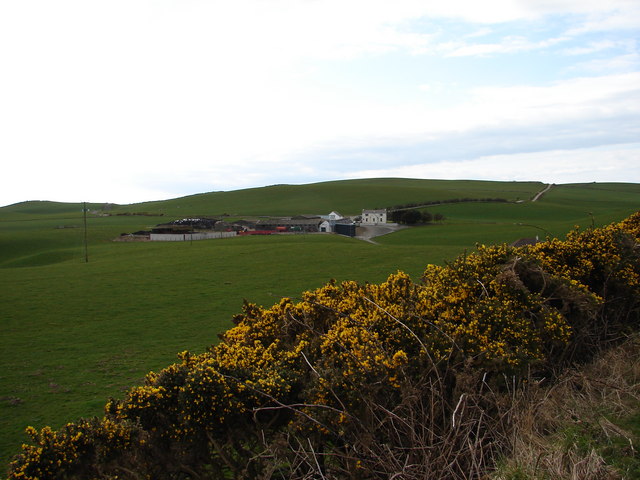
Red Isle is a small island located off the coast of Wigtownshire in southwest Scotland. Also known as "Eilean Ruadh" in Scottish Gaelic, it is situated in Luce Bay, approximately 2 kilometers from the mainland. The island covers an area of about 50 hectares, with a distinctive elongated shape measuring roughly 1.5 kilometers in length and 300 meters in width.
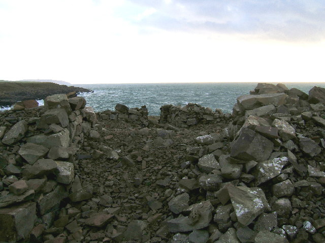
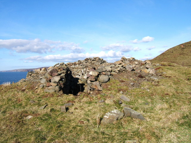
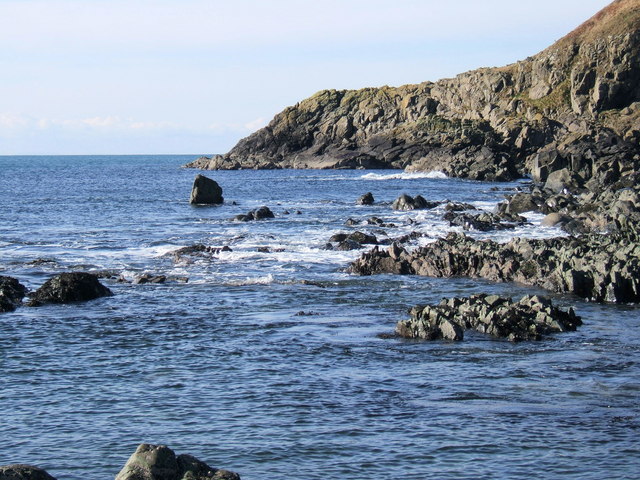
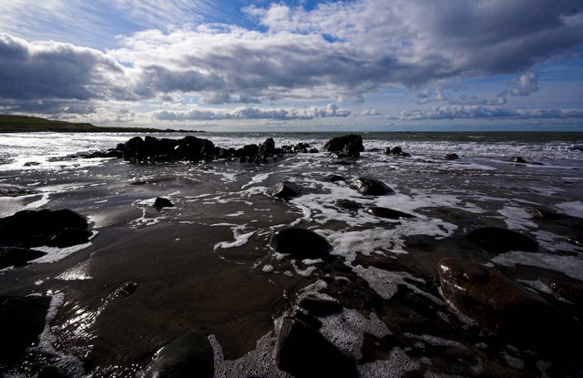
Red Isle is characterized by its rugged and rocky terrain, featuring a prominent red sandstone cliff formation, for which it derives its name. The island's topography is varied, comprising of low-lying areas, steep slopes, and a few small hills. The coastline is indented with several small bays and coves, providing sheltered spots for wildlife and nesting seabirds.
The island is uninhabited, with no permanent human population. However, it is home to a diverse range of flora and fauna. The grassy areas support a rich variety of wildflowers, while the rocky outcrops provide habitat for various coastal plant species. Red Isle is also an important breeding ground for seabirds, including guillemots, razorbills, and kittiwakes. These birds create a lively spectacle during the nesting season.
Access to Red Isle is possible via boat or kayak, with visitors often attracted by its natural beauty and tranquility. The island offers a wonderful opportunity for birdwatching, photography, and exploring its unique geology. It is an ideal destination for nature enthusiasts seeking a secluded and unspoiled environment within the picturesque setting of Wigtownshire.
If you have any feedback on the listing, please let us know in the comments section below.
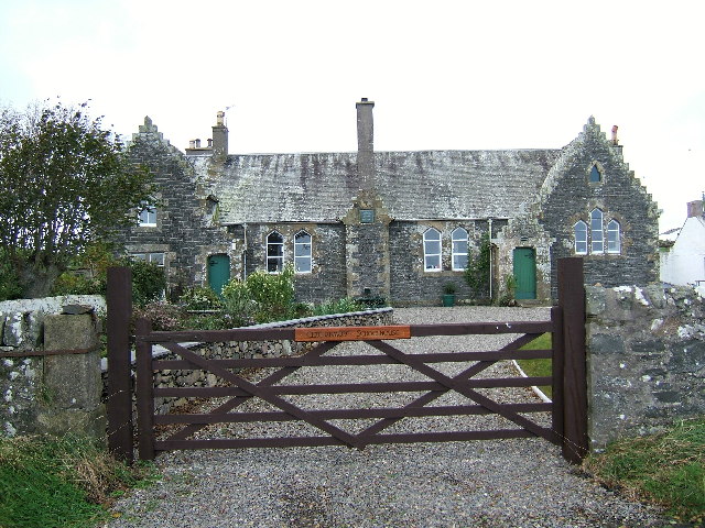
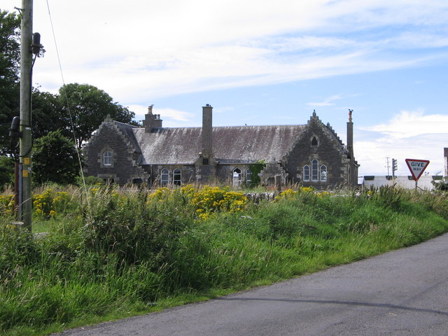
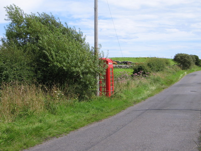
Red Isle Images
Images are sourced within 2km of 54.772238/-5.0028705 or Grid Reference NX0646. Thanks to Geograph Open Source API. All images are credited.


Red Isle is located at Grid Ref: NX0646 (Lat: 54.772238, Lng: -5.0028705)
Unitary Authority: Dumfries and Galloway
Police Authority: Dumfries and Galloway
What 3 Words
///those.aspect.soggy. Near Drummore, Dumfries & Galloway
Nearby Locations
Related Wikis

Doon Castle Broch
Doon Castle Broch is an iron-age broch located in Dumfries and Galloway, Scotland (grid reference NX 06702 44683). == Location == The Broch is located...

Clachanmore
Clachanmore is a village in the South Rhins of Galloway near Ardwell in the south west of Scotland. It has also been known as Low Ardwell.The name of the...

Ardwell
Ardwell (from Gaelic Àrd Bhaile meaning "high town", pronounced as "Ardwell") is a village in the Scottish unitary council area of Dumfries and Galloway...

Logan Botanic Garden
Logan Botanic Garden is a botanical garden near Port Logan on the Rhins of Galloway, at the south-western tip of Scotland. The Botanic Garden was established...
Sandhead
Sandhead is a small village in Dumfries and Galloway, south west Scotland. It overlooks Luce Bay, 7 miles south of Stranraer. The old main road, named...

Port Logan
Port Logan, formerly Port Nessock, is a small village in the parish of Kirkmaiden in the Rhins of Galloway in Wigtownshire. The Gaelic name is Port Neasaig...
Knockinaam Lodge
Knockinaam Lodge is a hotel and restaurant located about 3.5 miles South of Portpatrick, Dumfries & Galloway, Scotland. As of 2008, the restaurant holds...
Stoneykirk
Stoneykirk (Scottish Gaelic: Eaglais Steafain) is an area and a village in the heart of the Rhins of Galloway, Wigtownshire, in the administrative council...
Nearby Amenities
Located within 500m of 54.772238,-5.0028705Have you been to Red Isle?
Leave your review of Red Isle below (or comments, questions and feedback).