Lynch
Settlement in Somerset Somerset West and Taunton
England
Lynch
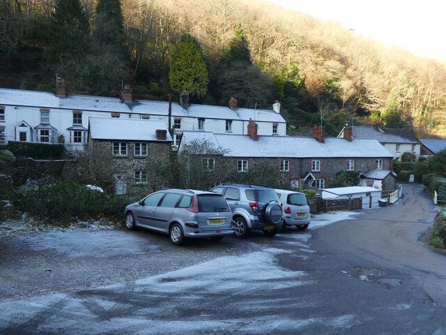
Lynch is a small village located in the county of Somerset, England. Situated in the Mendip Hills Area of Outstanding Natural Beauty, Lynch is surrounded by picturesque landscapes and offers a tranquil setting for its residents and visitors. The village lies approximately 8 miles south of Bristol and 15 miles north of Wells.
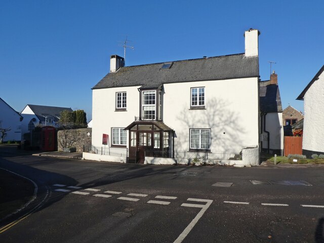
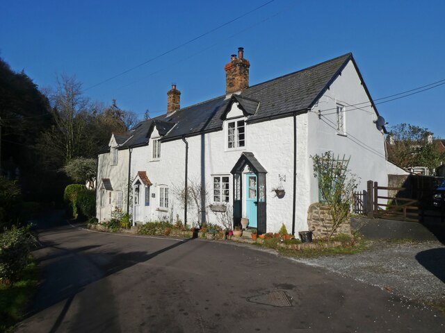
The history of Lynch can be traced back to the Roman times, as evidenced by the remains of Roman settlements and artifacts discovered in the area. The village itself is characterized by its charming, traditional architecture, with many buildings dating back several centuries.
Despite its small size, Lynch offers a range of amenities to its residents, including a local pub, a village hall, and a primary school. The village is also well-connected, with good transport links to nearby towns and cities.
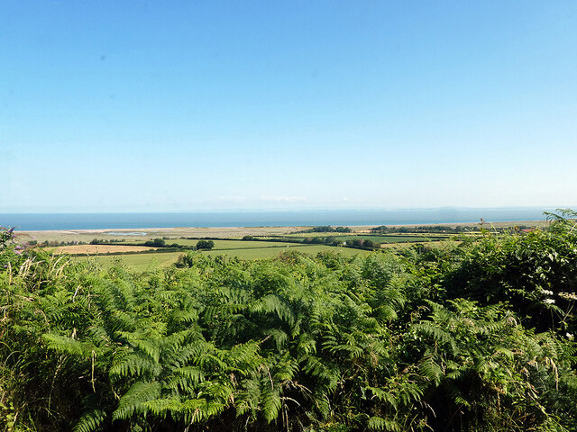
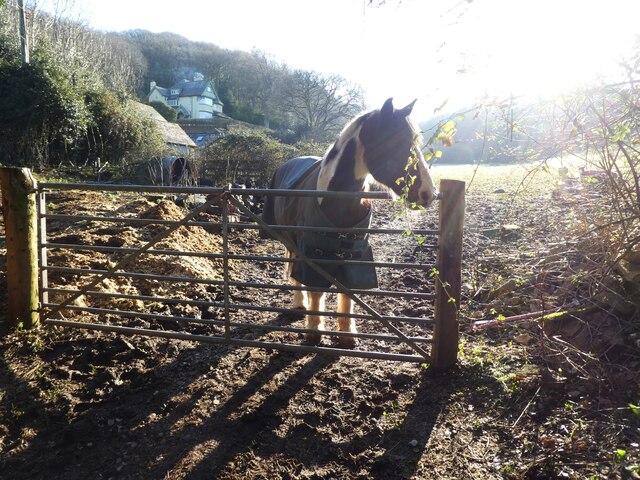
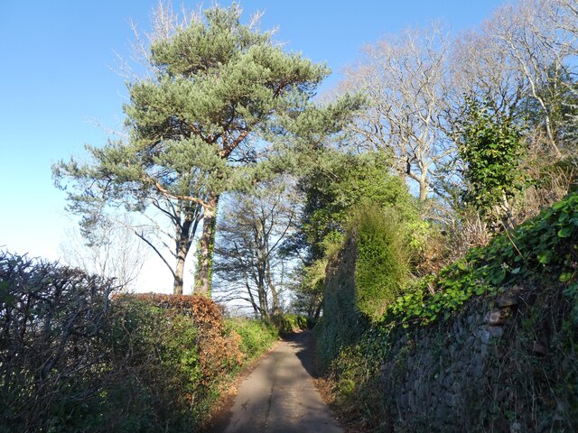
Nature enthusiasts are drawn to Lynch for its stunning natural surroundings. The Mendip Hills provide ample opportunities for outdoor activities such as hiking, cycling, and horseback riding. Cheddar Gorge, a renowned natural attraction, is located just a short distance away, offering spectacular views and the chance to explore its famous caves.
Lynch is also within easy reach of several cultural and historical landmarks. The city of Bristol is a vibrant hub of art, culture, and history, boasting attractions such as the Clifton Suspension Bridge and the SS Great Britain. Wells, with its magnificent cathedral and medieval architecture, is also nearby.
With its idyllic setting and proximity to both natural and cultural sites, Lynch, Somerset offers a peaceful and charming retreat for both residents and visitors alike.
If you have any feedback on the listing, please let us know in the comments section below.
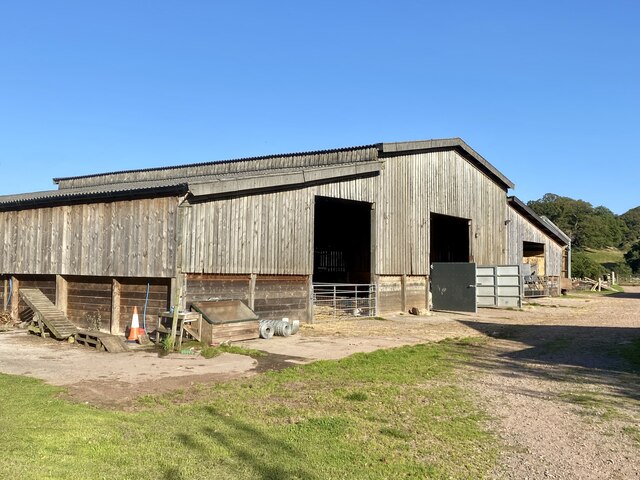
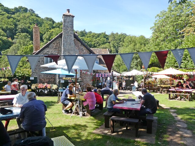
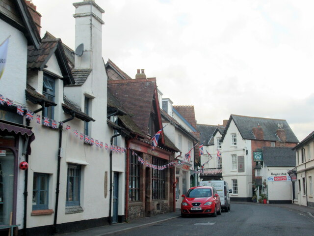
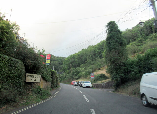
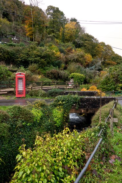
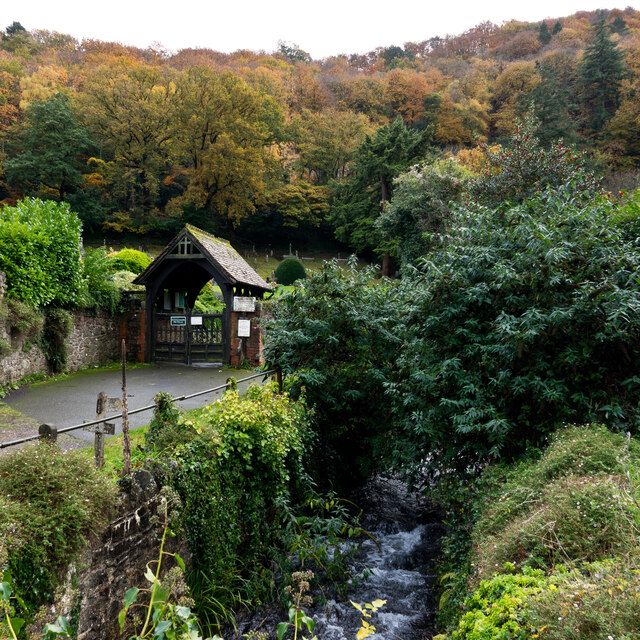
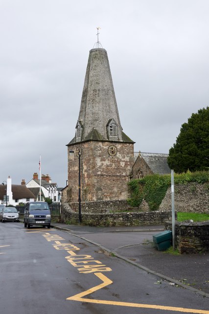
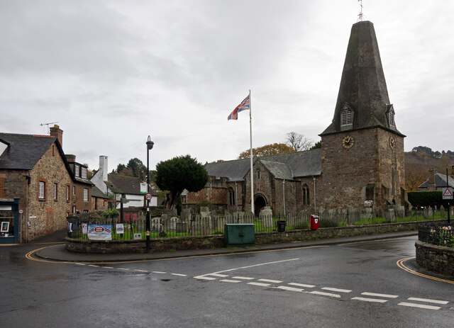
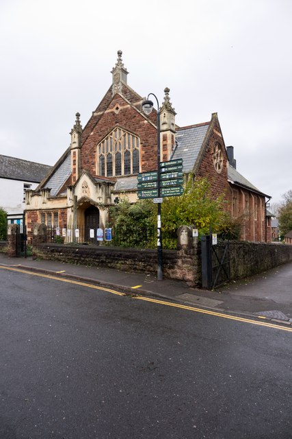
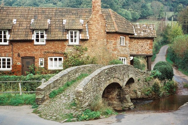
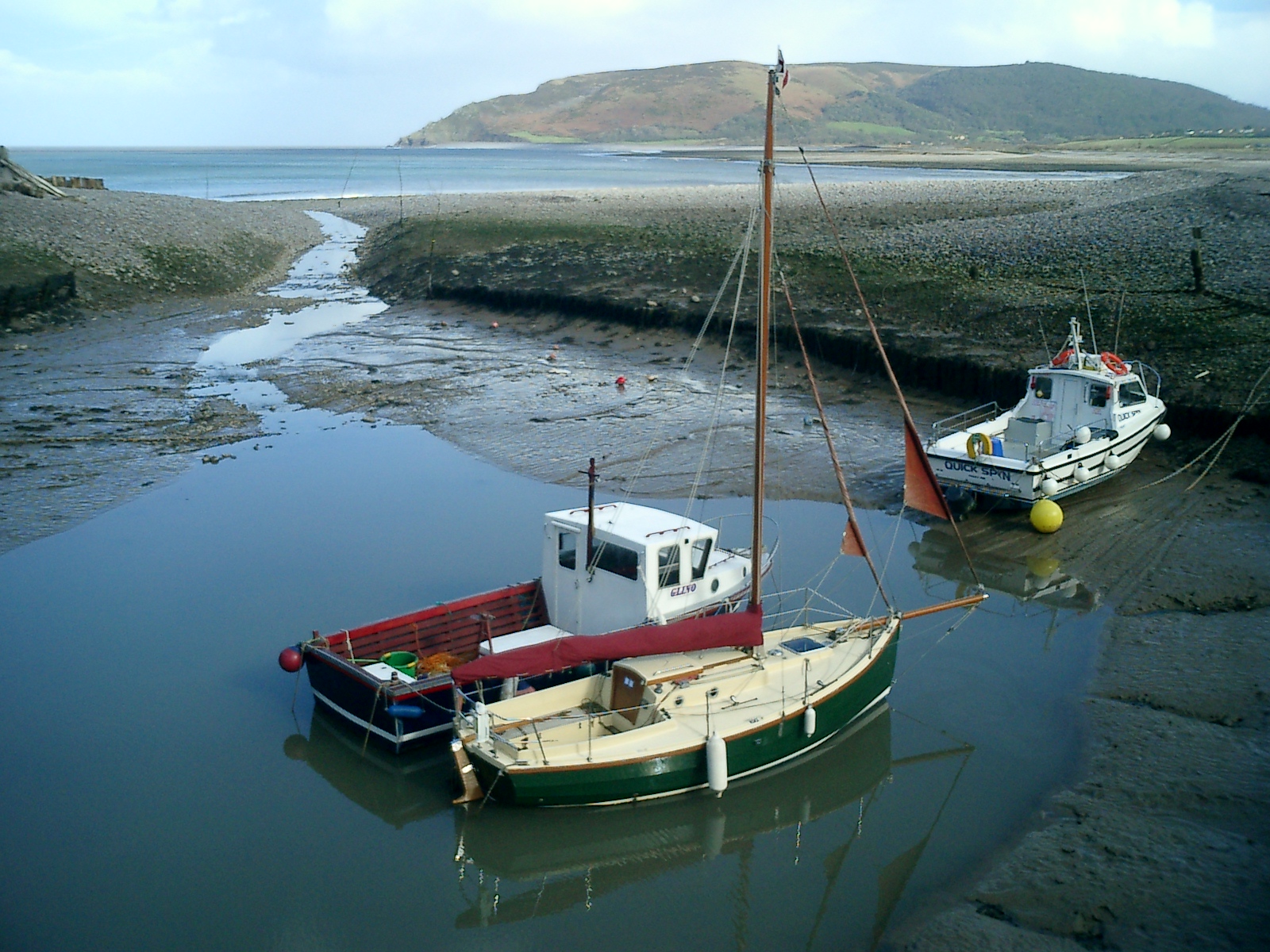
Lynch Images
Images are sourced within 2km of 51.211576/-3.5761816 or Grid Reference SS9047. Thanks to Geograph Open Source API. All images are credited.

Lynch is located at Grid Ref: SS9047 (Lat: 51.211576, Lng: -3.5761816)
Administrative County: Somerset
District: Somerset West and Taunton
Police Authority: Avon and Somerset
What 3 Words
///dunk.modem.sneezing. Near Porlock, Somerset
Nearby Locations
Related Wikis

Coleridge Way
The Coleridge Way is a 51-mile (82 km) long-distance trail in Somerset and Devon, England. It was opened in April 2005, and the route links several sites...

West Somerset Rural Life Museum and Victorian School
The West Somerset Rural Life Museum is a small museum in Allerford, Somerset, England. The building was built in 1821 as the village school and was closed...

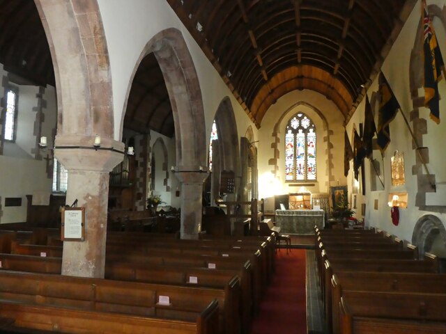
Lynch Chapel Of Ease
The Anglican Lynch Chapel Of Ease in West Lynch, Selworthy, Somerset, England was built around 1530. It is a Grade II* listed building. == History == The...
Allerford
Allerford is a village in the county of Somerset, England, located within Exmoor National Park, and is part of the parish of Selworthy in the district...
River Aller
The River Aller is a small river on Exmoor in Somerset, England. It rises as several small streams around Tivington and Huntscott and flows through the...

Holnicote Estate
Holnicote (pronounced "Hunnicutt") in the parish of Selworthy, West Somerset, England, is a historic estate consisting of 12,420 acres (5,026 hectares...

Dovery Manor Museum
Dovery Manor Museum, also known as Porlock Museum, is a local museum in Porlock, Somerset, England. The building was built as a Manor house in the late...
Porlock
Porlock is a coastal village in Somerset, England, 5 miles (8 km) west of Minehead. At the 2011 census, the village had a population of 1,440.In 2017,...
Nearby Amenities
Located within 500m of 51.211576,-3.5761816Have you been to Lynch?
Leave your review of Lynch below (or comments, questions and feedback).