Lynch Combe
Valley in Somerset Somerset West and Taunton
England
Lynch Combe

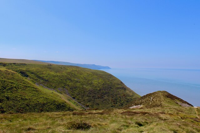
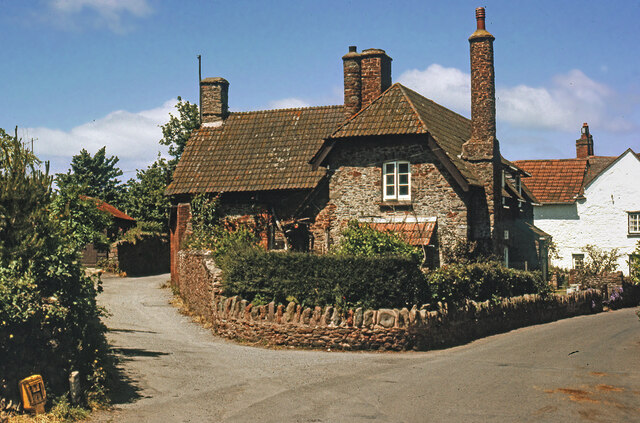
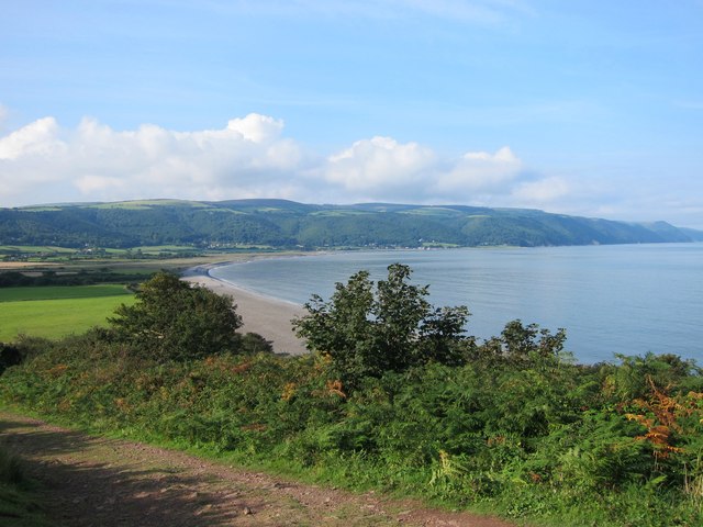
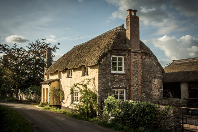
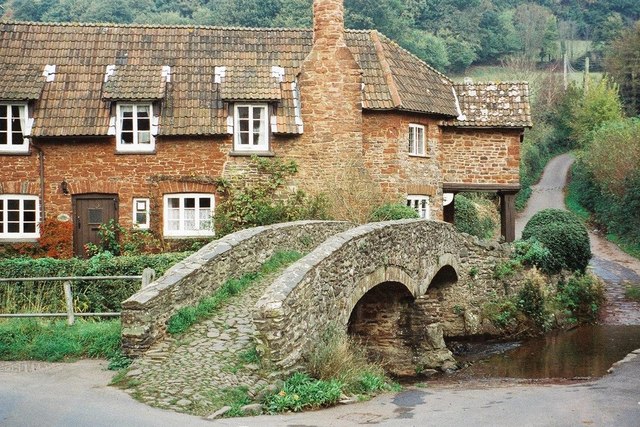
Lynch Combe, also known as Lynchcombe or Lynchcombe Valley, is a picturesque rural area located in Somerset, England. Nestled within the Mendip Hills, it is a valley of great natural beauty and historical significance.
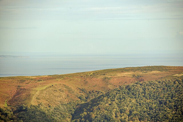
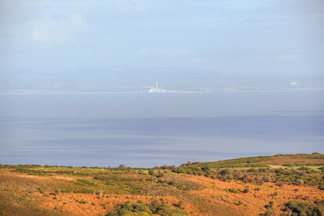
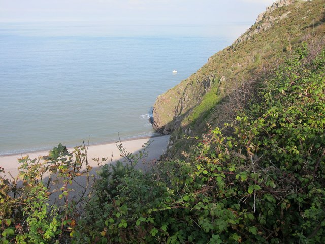
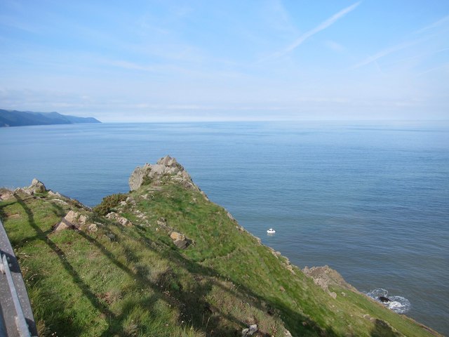
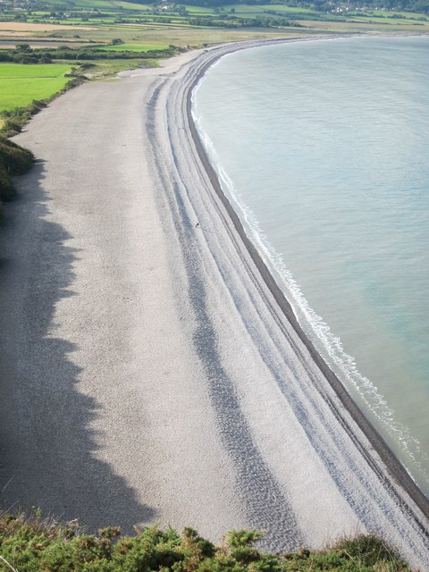
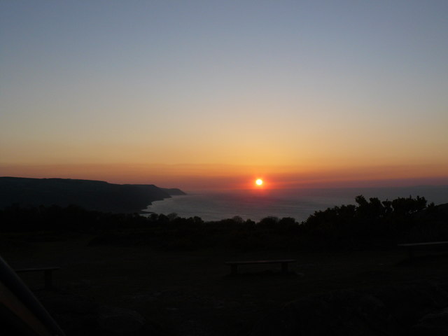
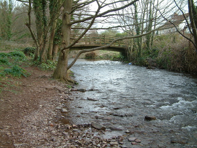
The valley is characterized by its rolling green hills, dense woodlands, and meandering streams, creating a tranquil and idyllic setting. The area is rich in biodiversity, with a variety of plant and animal species thriving in its diverse habitats. It is a popular spot for nature lovers, hikers, and birdwatchers, who can explore the numerous footpaths and trails that crisscross the valley.
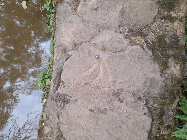
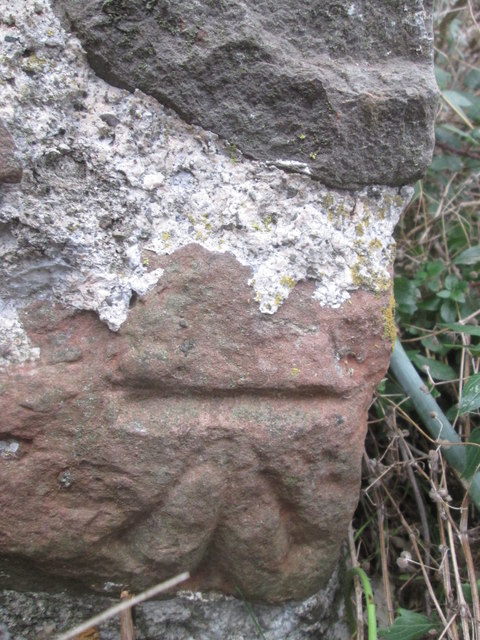
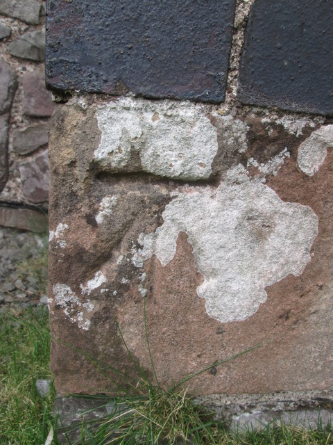
In addition to its natural beauty, Lynch Combe has a fascinating history. The valley was once home to several limestone quarries, which were active during the 18th and 19th centuries. These quarries played a crucial role in the development of the local economy, providing valuable building materials for the construction of nearby cities and towns.
Today, the remnants of these quarries can still be seen, adding an intriguing historical dimension to the valley. The area has also been designated as a Site of Special Scientific Interest (SSSI), highlighting its importance for conservation and protection.
Lynch Combe offers a peaceful retreat from the hustle and bustle of modern life, allowing visitors to connect with nature and immerse themselves in the area's rich history. Whether it's exploring the walking trails, admiring the stunning landscapes, or learning about the valley's industrial past, Lynch Combe is a hidden gem that offers something for everyone.
If you have any feedback on the listing, please let us know in the comments section below.
Lynch Combe Images
Images are sourced within 2km of 51.220404/-3.566402 or Grid Reference SS9047. Thanks to Geograph Open Source API. All images are credited.

Lynch Combe is located at Grid Ref: SS9047 (Lat: 51.220404, Lng: -3.566402)
Administrative County: Somerset
District: Somerset West and Taunton
Police Authority: Avon and Somerset
What 3 Words
///originals.river.assurance. Near Porlock, Somerset
Nearby Locations
Related Wikis
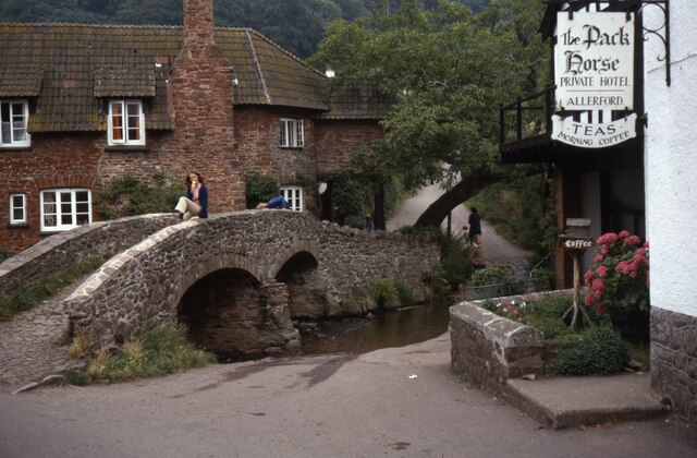
Allerford
Allerford is a village in the county of Somerset, England, located within Exmoor National Park, and is part of the parish of Selworthy in the district...

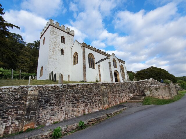
Lynch Chapel Of Ease
The Anglican Lynch Chapel Of Ease in West Lynch, Selworthy, Somerset, England was built around 1530. It is a Grade II* listed building. == History == The...
River Aller
The River Aller is a small river on Exmoor in Somerset, England. It rises as several small streams around Tivington and Huntscott and flows through the...

West Somerset Rural Life Museum and Victorian School
The West Somerset Rural Life Museum is a small museum in Allerford, Somerset, England. The building was built in 1821 as the village school and was closed...
Selworthy Beacon
Selworthy Beacon is a hill and Marilyn of Exmoor in Somerset, England. It lies within the boundaries of Exmoor National Park, to the north of the village...

Bury Castle, Selworthy
Bury Castle is an Iron Age hillfort near Selworthy, Somerset, England. It has been designated as a scheduled monument. == History == Bury Castle was built...
River Horner
The River Horner, also known as Horner Water, rises near Luccombe on Exmoor, Somerset, and flows past Porlock into Porlock Bay near Hurlstone Point on...

Selworthy
Selworthy is a small village and civil parish 5 kilometres (3 mi) from Minehead in Somerset, England. It is located in the National Trust's Holnicote Estate...
Nearby Amenities
Located within 500m of 51.220404,-3.566402Have you been to Lynch Combe?
Leave your review of Lynch Combe below (or comments, questions and feedback).