Glas Eilean

Island in Argyllshire

Scotland

Glas Eilean

A861, Camuschoirk
A861, Camuschoirk Credit: Richard Webb

Glas Eilean is a small island located in Argyllshire, Scotland. Situated in the Inner Hebrides, it is part of the stunning scenery that characterizes this region. The island is roughly 1.5 miles long and covers an area of approximately 100 acres.

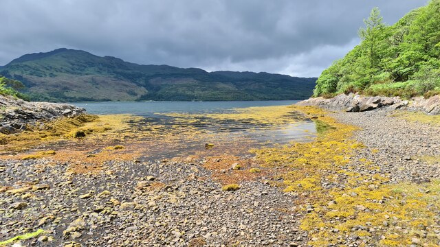
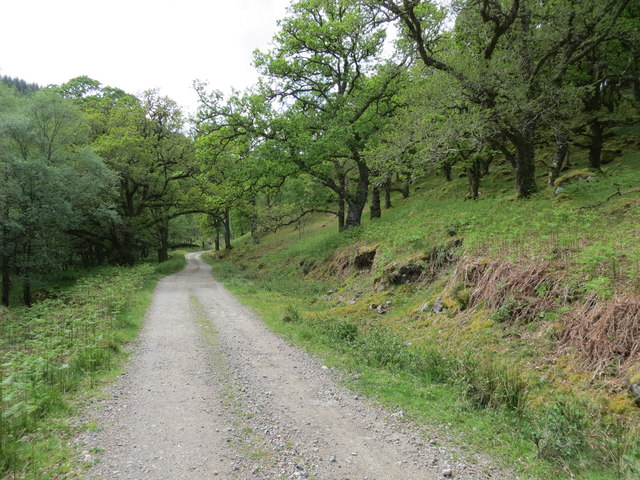
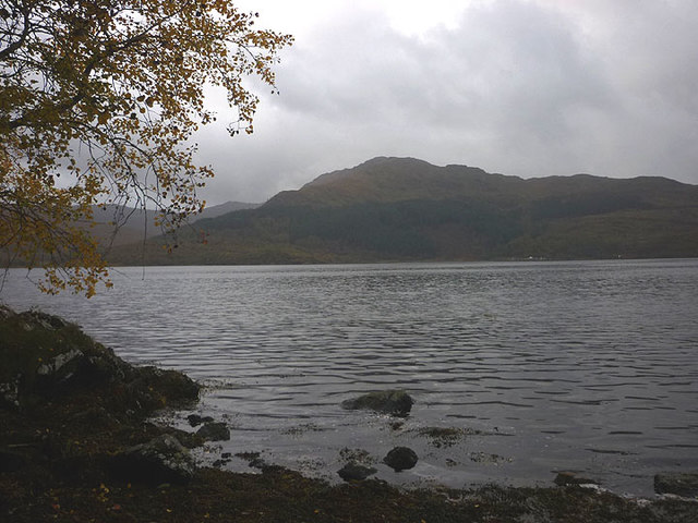
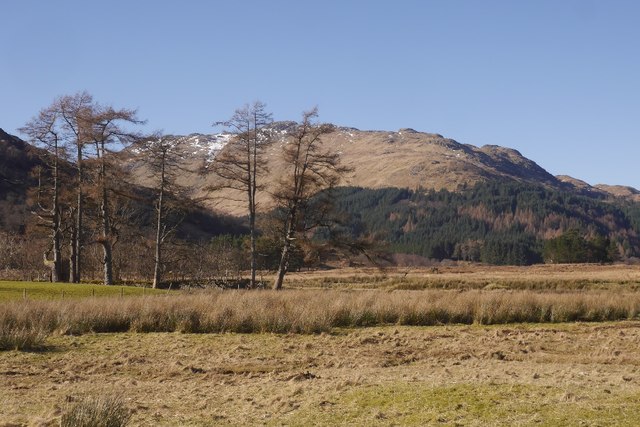
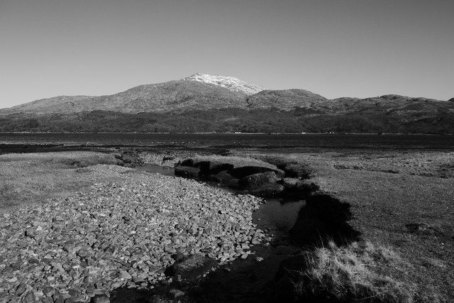
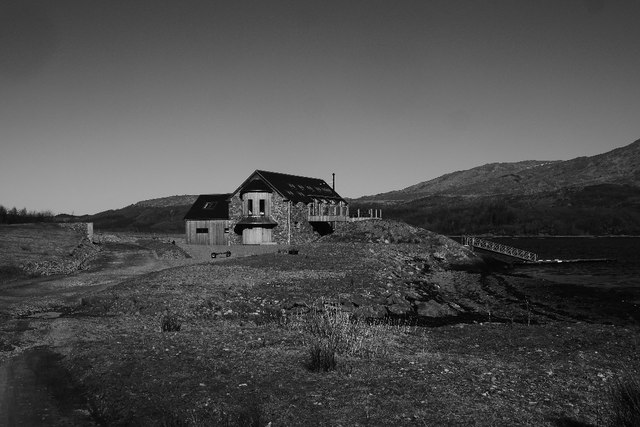
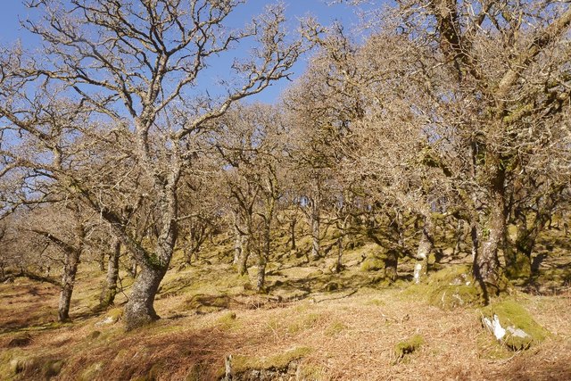
Glas Eilean is known for its picturesque landscapes, with rugged cliffs, rocky shores, and rolling green hills. It is largely uninhabited, with only a handful of small cottages scattered across the island. The absence of permanent residents contributes to the island's peaceful and untouched atmosphere.

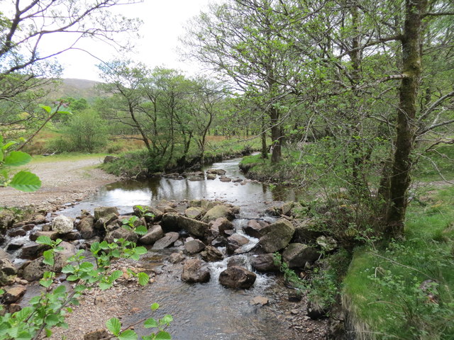
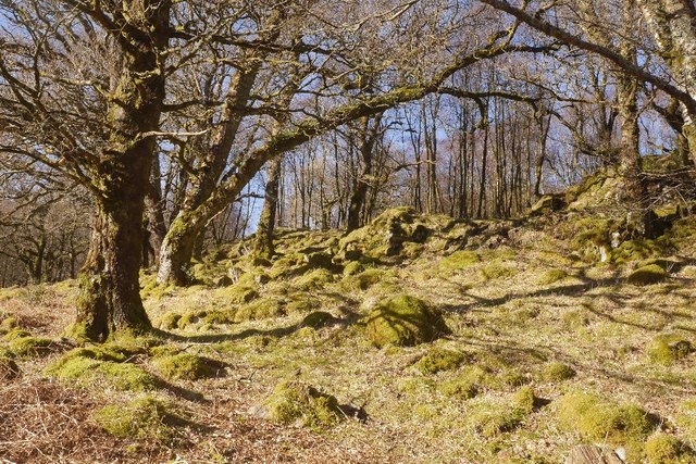
The island's name, Glas Eilean, translates to "green island" in English, which perfectly describes its lush vegetation. The fertile soil supports a variety of plant species, including wildflowers, shrubs, and grasses. It also serves as a habitat for a diverse range of bird species, making it a popular spot for birdwatchers.

Access to Glas Eilean is mainly by boat, and visitors can enjoy the tranquility of the island by exploring its nature trails or simply relaxing on its pristine beaches. The surrounding waters are ideal for sailing, fishing, and other water activities.

Despite its small size, Glas Eilean holds historical significance. The ruins of a medieval castle can be found on the southern part of the island, adding an air of mystery and intrigue to its charm.

Overall, Glas Eilean offers visitors a chance to escape the hustle and bustle of everyday life and immerse themselves in the beauty of Scotland's natural landscapes and rich history.

If you have any feedback on the listing, please let us know in the comments section below.

Glas Eilean Images

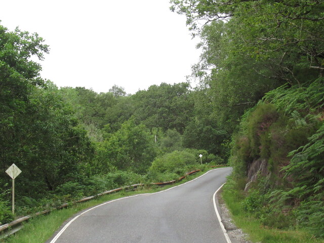
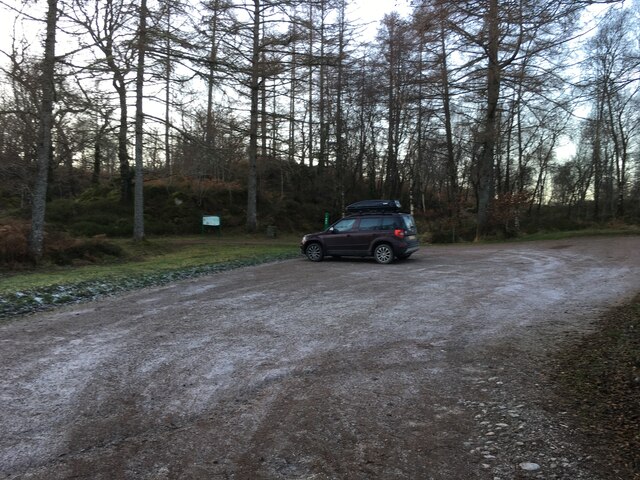
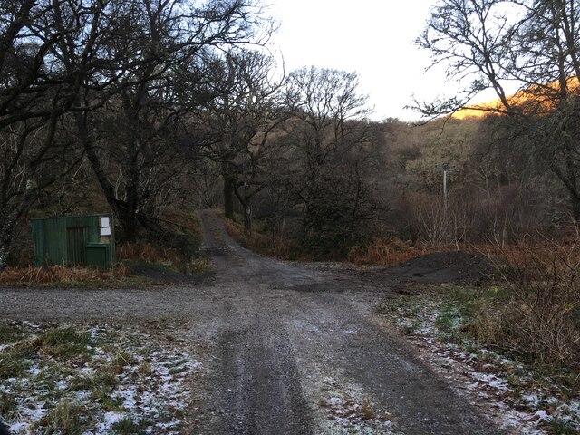
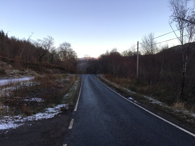
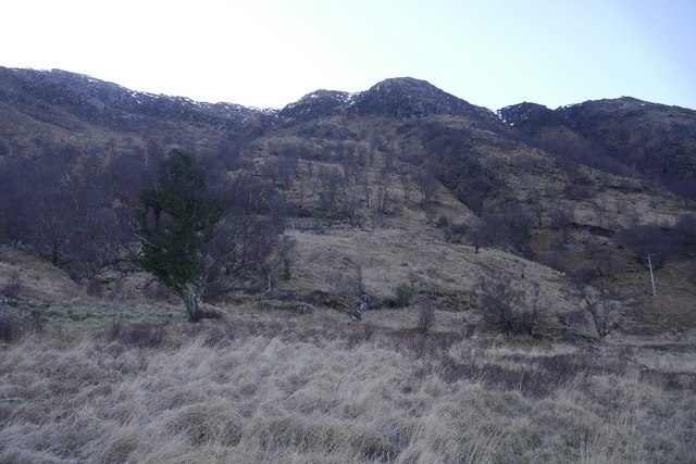
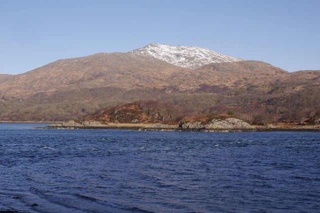
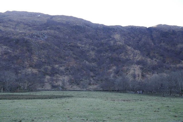
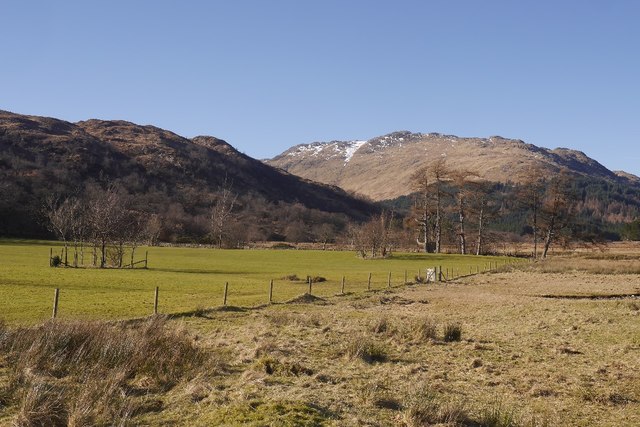
Images are sourced within 2km of 56.680159/-5.6664599 or Grid Reference NM7560. Thanks to Geograph Open Source API. All images are credited.

A861, Camuschoirk
A861, Camuschoirk
Parking area at Ardery
Gravel road to Ardery
A861 towards Strontian
Loch Sunart
Loch Sunart
Ford on Laudale River from the bridge
Estate track and oakland at Aird Beitheach
Loch Sunart Looking across to the Morvern hills.
Loch Sunart
Looking across to the Morvern hills.
Creag Dubh, Loch Sunart Steep slopes and birch wood on the shady side of Loch Sunart.
Creag Dubh, Loch Sunart
Steep slopes and birch wood on the shady side of Loch Sunart.
Sunart narrows A constriction in Loch Sunart with a tidal stream working against the east wind, causing some disturbance.  The hill is Beinn Resipol.
Sunart narrows
A constriction in Loch Sunart with a tidal stream working against the east wind, causing some disturbance. The hill is Beinn Resipol.
Field, Laudale Flat field beside Loch Sunart, a contrast with the wooded craggy hillside above.
Field, Laudale
Flat field beside Loch Sunart, a contrast with the wooded craggy hillside above.
Deer lawn in front of Laudale House Signs ask you to use the foreshore in order to get past the big house at Laudale.  There is a burn crossing (easy) and the going is good. It is also a shortcut.  The road is met again at the larches on the right.
Deer lawn in front of Laudale House
Signs ask you to use the foreshore in order to get past the big house at Laudale. There is a burn crossing (easy) and the going is good. It is also a shortcut. The road is met again at the larches on the right.
Shoreline route, Laudale An easy shortcut around the houseblocked loop in the road.
Shoreline route, Laudale
An easy shortcut around the houseblocked loop in the road.
Allt Coire Rèithe Entering Loch Sunart with Beinn Resipol opposite.
Allt Coire Rèithe
Entering Loch Sunart with Beinn Resipol opposite.
Rubh' an Dùnan A holiday home built on the site of the mapped boat house.
Rubh' an Dùnan
A holiday home built on the site of the mapped boat house.
Oak wood, Aird Beitheach
Oak wood, Aird Beitheach Open to grazing.
Oak wood, Aird Beitheach
Open to grazing.
Old Milestone by the A861, west of Strontian, Ardnamurchan parish Highland granite by the A861, in parish of Ardnamurchan (Lochaber District), in woods, between Electricity Pylons 5 and 6.

Inscription once read:-
: (Strontian / 4) : : (Shiel Bridge / 9¼) : 

Surveyed

Milestone Society National ID: HI_SAST06
Old Milestone by the A861, west of Strontian, Ardnamurchan parish
Highland granite by the A861, in parish of Ardnamurchan (Lochaber District), in woods, between Electricity Pylons 5 and 6. Inscription once read:- : (Strontian / 4) : : (Shiel Bridge / 9¼) : Surveyed Milestone Society National ID: HI_SAST06
Show me another place!

Glas Eilean is located at Grid Ref: NM7560 (Lat: 56.680159, Lng: -5.6664599)

Unitary Authority: Highland

Police Authority: Highlands and Islands

What 3 Words

///mess.resorting.earth. Near Lochaline, Highland

Related Wikis

Ardery

Ardery is a village in Acharacle in Lochaber, Argyll, located a quarter mile from the north shore of Loch Sunart in the Highland, and is in the Scottish...

Resipole

Resipole (Scottish Gaelic: Rèiseapol) is a settlement on the Ardnamurchan peninsula in Highland, Scotland. Resipole is located on the A861 road on the...
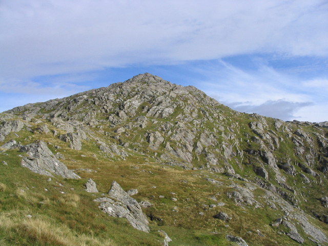
Beinn Resipol

Beinn Resipol (845 m) is a mountain of the Northwest Highlands, Scotland, in the Ardnamurchan area of Lochaber. The mountain is the most western of Scotland...
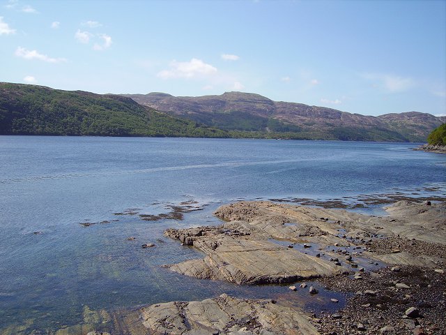
Loch Sunart

Loch Sunart (Scottish Gaelic Loch Shuaineart) is a sea loch on the west coast of Scotland. Loch Sunart is bounded to the north by the Sunart district of...

Nearby Amenities

Located within 500m of 56.680159,-5.6664599
Created By: dmgroom_coastlines
Source: PGS
Lat/Long: 56.679783/-5.66687
Created By: dmgroom_coastlines
Source: PGS
Lat/Long: 56.680294/-5.666906
Created By: dmgroom_coastlines
Source: PGS
Lat/Long: 56.680314/-5.665977
Created By: dmgroom_coastlines
Source: PGS
Lat/Long: 56.680059/-5.665959
Created By: dmgroom_coastlines
Source: PGS
Lat/Long: 56.680049/-5.666423
Created By: dmgroom_coastlines
Source: PGS
Lat/Long: 56.679793/-5.666405
Source: PGS
Lat/Long: 56.6767682/-5.6630712
Source: PGS
Lat/Long: 56.6768743/-5.6633904
Source: PGS
Lat/Long: 56.6773128/-5.6644954
Source: PGS
Lat/Long: 56.6776266/-5.6648144
Source: PGS
Lat/Long: 56.6778603/-5.6651525
Source: PGS
Lat/Long: 56.6779066/-5.665298
Source: PGS
Lat/Long: 56.6778179/-5.6657471
Source: PGS
Lat/Long: 56.6774951/-5.6668356
Source: PGS
Lat/Long: 56.677242/-5.6691177
Source: PGS
Lat/Long: 56.6771417/-5.6708593
Source: PGS
Lat/Long: 56.6770332/-5.6719543
The data included in this document is from www.openstreetmap.org. The data is made available under ODbL.

Have you been to Glas Eilean?

Leave your review of Glas Eilean below (or comments, questions and feedback).