Eilean Mòr

Island in Argyllshire

Scotland

Eilean Mòr

A861, Camuschoirk
A861, Camuschoirk Credit: Richard Webb

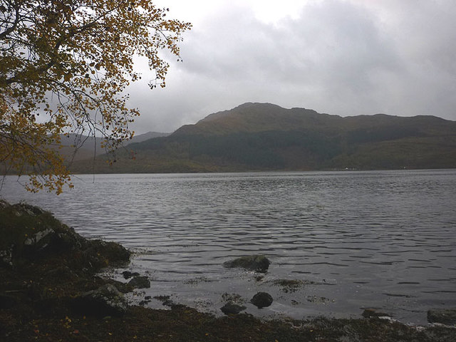
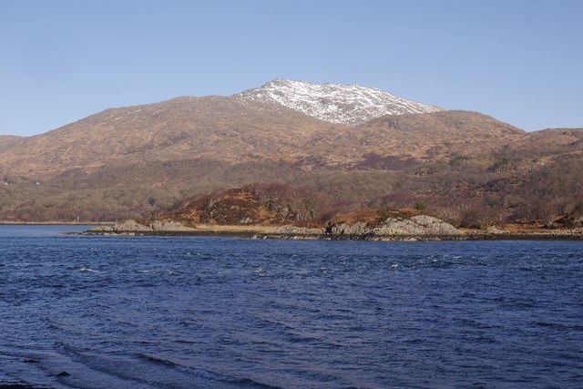
Eilean Mòr, located in Argyllshire, Scotland, is a small island known for its rich history, stunning landscapes, and captivating folklore. Situated in the Inner Hebrides, this island covers an area of approximately 100 acres and is surrounded by the sparkling waters of the Atlantic Ocean.

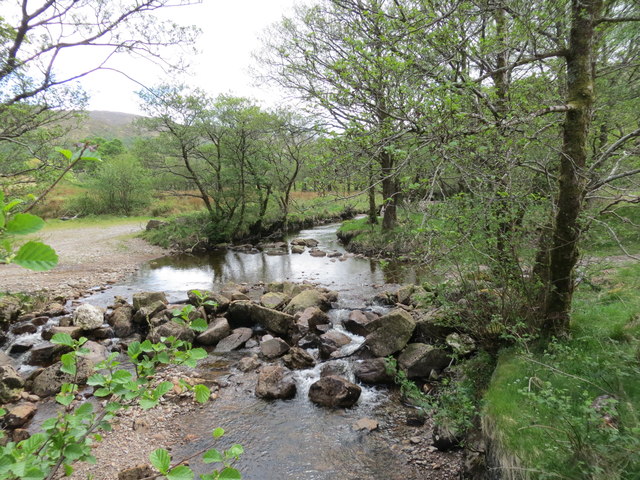
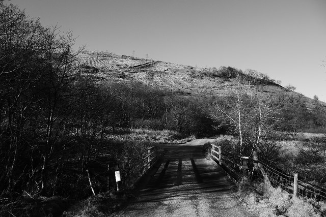
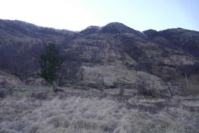
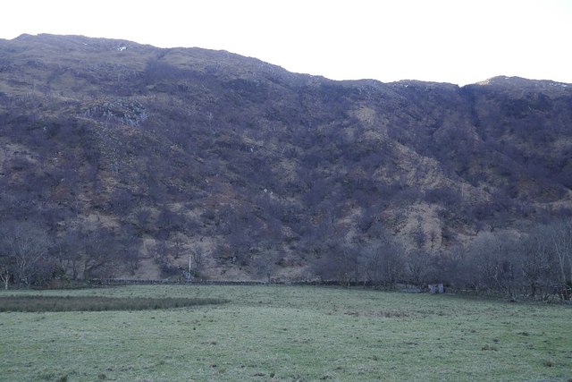
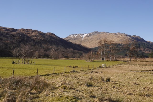
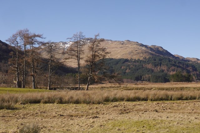
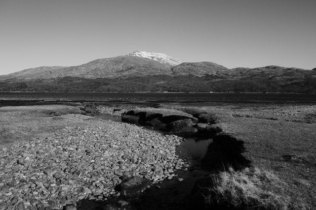
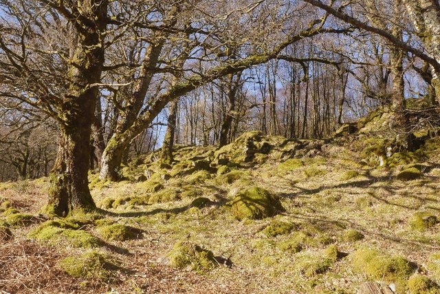
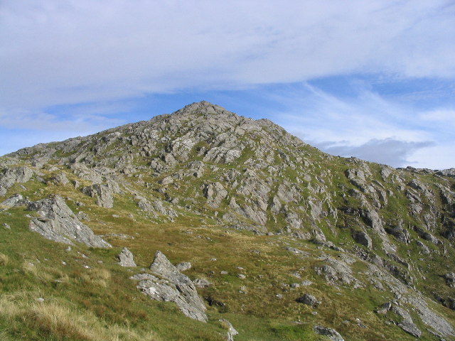
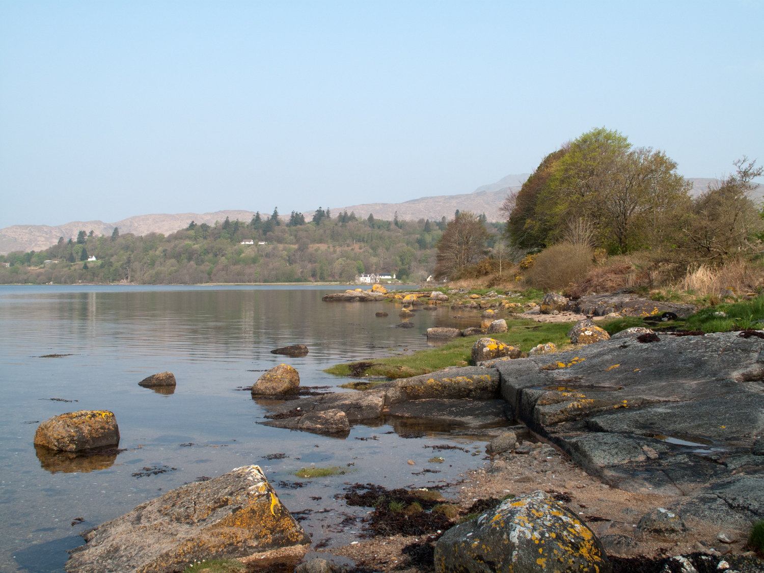
Eilean Mòr boasts a diverse terrain, with rugged cliffs, sandy beaches, and rolling hills. The island's highest point, known as Dutchman's Cap, offers breathtaking panoramic views of the surrounding area. Its dramatic coastline is home to numerous sea caves, arches, and stacks, providing a haven for wildlife enthusiasts and photographers.

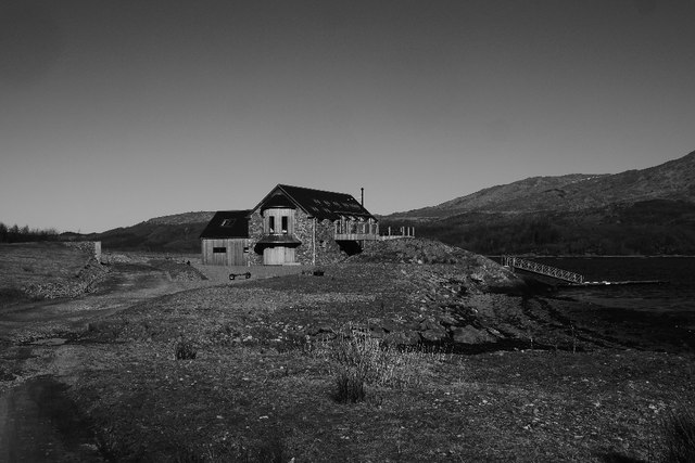
The island's history dates back to ancient times, with evidence of human occupation from as early as the Neolithic period. Eilean Mòr is best known for its mysterious and haunting atmosphere, attributed to the infamous Flannan Isles mystery. In 1900, three lighthouse keepers stationed on the island vanished under puzzling circumstances, leaving behind a partially eaten meal and no signs of struggle. This unsolved mystery has captivated the imagination of many and adds an air of intrigue to the island's reputation.

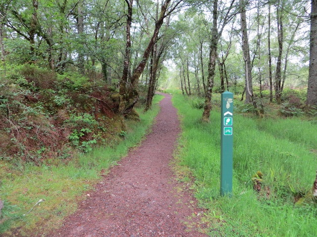
Despite its small size, Eilean Mòr offers a variety of activities for visitors. Nature lovers can explore the island's diverse flora and fauna, including nesting seabirds and rare plant species. Hiking trails provide opportunities to discover hidden gems and hidden caves. The island is also a popular spot for fishing and boat trips, offering an ideal getaway for those seeking tranquility and natural beauty.

Eilean Mòr, with its captivating history and stunning landscapes, is a true gem in the Scottish Isles, attracting visitors from far and wide to experience its unique charm.

If you have any feedback on the listing, please let us know in the comments section below.
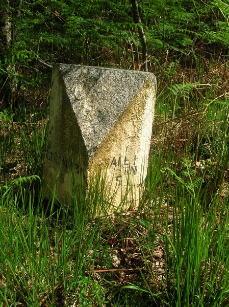
Eilean Mòr Images

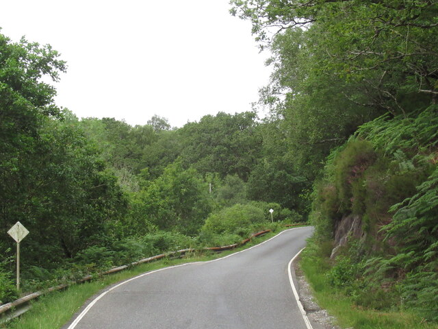
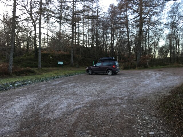
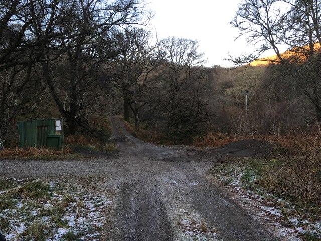
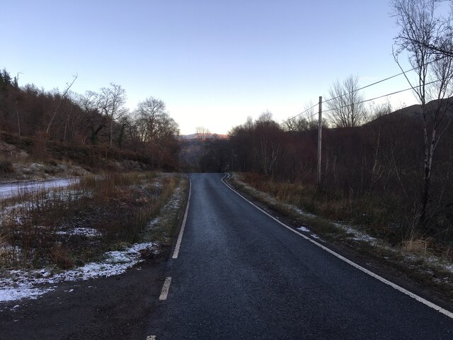
Images are sourced within 2km of 56.682197/-5.6622803 or Grid Reference NM7560. Thanks to Geograph Open Source API. All images are credited.

A861, Camuschoirk
A861, Camuschoirk
Parking area at Ardery
Gravel road to Ardery
A861 towards Strontian
Ford on Laudale River from the bridge
Loch Sunart Looking across to the Morvern hills.
Loch Sunart
Looking across to the Morvern hills.
Felled forestry, Liddesdale The south shore of Loch Sunart has a lot of commercial forestry.
Felled forestry, Liddesdale
The south shore of Loch Sunart has a lot of commercial forestry.
Creag Dubh, Loch Sunart Steep slopes and birch wood on the shady side of Loch Sunart.
Creag Dubh, Loch Sunart
Steep slopes and birch wood on the shady side of Loch Sunart.
Sunart narrows A constriction in Loch Sunart with a tidal stream working against the east wind, causing some disturbance.  The hill is Beinn Resipol.
Sunart narrows
A constriction in Loch Sunart with a tidal stream working against the east wind, causing some disturbance. The hill is Beinn Resipol.
Field, Laudale Flat field beside Loch Sunart, a contrast with the wooded craggy hillside above.
Field, Laudale
Flat field beside Loch Sunart, a contrast with the wooded craggy hillside above.
Deer lawn in front of Laudale House Signs ask you to use the foreshore in order to get past the big house at Laudale.  There is a burn crossing (easy) and the going is good. It is also a shortcut.  The road is met again at the larches on the right.
Deer lawn in front of Laudale House
Signs ask you to use the foreshore in order to get past the big house at Laudale. There is a burn crossing (easy) and the going is good. It is also a shortcut. The road is met again at the larches on the right.
Shoreline route, Laudale An easy shortcut around the houseblocked loop in the road.
Shoreline route, Laudale
An easy shortcut around the houseblocked loop in the road.
Allt Coire Rèithe Entering Loch Sunart with Beinn Resipol opposite.
Allt Coire Rèithe
Entering Loch Sunart with Beinn Resipol opposite.
Rubh' an Dùnan A holiday home built on the site of the mapped boat house.
Rubh' an Dùnan
A holiday home built on the site of the mapped boat house.
Oak wood, Aird Beitheach
Old Milestone by the A861, west of Strontian, Ardnamurchan parish Highland granite by the A861, in parish of Ardnamurchan (Lochaber District), in woods, between Electricity Pylons 5 and 6.

Inscription once read:-
: (Strontian / 4) : : (Shiel Bridge / 9¼) : 

Surveyed

Milestone Society National ID: HI_SAST06
Old Milestone by the A861, west of Strontian, Ardnamurchan parish
Highland granite by the A861, in parish of Ardnamurchan (Lochaber District), in woods, between Electricity Pylons 5 and 6. Inscription once read:- : (Strontian / 4) : : (Shiel Bridge / 9¼) : Surveyed Milestone Society National ID: HI_SAST06
Old Milestone by the A861, Loch Sunart, Ardnamurchan parish Highland granite by the A861, Loch Sunart, in parish of Ardnamurchan (Lochaber District), North side of road.

Inscription reads:-
: STRONTIAN / 5 : : SALEN / 5 :
 
Surveyed

Milestone Society National ID: HI_SAST05
Old Milestone by the A861, Loch Sunart, Ardnamurchan parish
Highland granite by the A861, Loch Sunart, in parish of Ardnamurchan (Lochaber District), North side of road. Inscription reads:- : STRONTIAN / 5 : : SALEN / 5 : Surveyed Milestone Society National ID: HI_SAST05
Woodland path at Ardery Looking north-westward.
Woodland path at Ardery
Looking north-westward.
Show me another place!

Eilean Mòr is located at Grid Ref: NM7560 (Lat: 56.682197, Lng: -5.6622803)

Unitary Authority: Highland

Police Authority: Highlands and Islands

What 3 Words

///tolerable.kings.presses. Near Lochaline, Highland

Related Wikis

Ardery

Ardery is a village in Acharacle in Lochaber, Argyll, located a quarter mile from the north shore of Loch Sunart in the Highland, and is in the Scottish...

Resipole

Resipole (Scottish Gaelic: Rèiseapol) is a settlement on the Ardnamurchan peninsula in Highland, Scotland. Resipole is located on the A861 road on the...

Beinn Resipol

Beinn Resipol (845 m) is a mountain of the Northwest Highlands, Scotland, in the Ardnamurchan area of Lochaber. The mountain is the most western of Scotland...

Strontian

Strontian (;Scottish Gaelic: Sròn an t-Sìthein [s̪ɾɔːn̪ˠ ən̪ˠ ˈtʲiː.ɪn]) is the main village in Sunart, an area in western Lochaber, Highland, Scotland...

Nearby Amenities

Located within 500m of 56.682197,-5.6622803
Created By: dmgroom_coastlines
Source: PGS
Lat/Long: 56.679783/-5.66687
Created By: dmgroom_coastlines
Source: PGS
Lat/Long: 56.680294/-5.666906
Created By: dmgroom_coastlines
Source: PGS
Lat/Long: 56.680314/-5.665977
Created By: dmgroom_coastlines
Source: PGS
Lat/Long: 56.680059/-5.665959
Created By: dmgroom_coastlines
Source: PGS
Lat/Long: 56.680049/-5.666423
Created By: dmgroom_coastlines
Source: PGS
Lat/Long: 56.679793/-5.666405
The data included in this document is from www.openstreetmap.org. The data is made available under ODbL.

Have you been to Eilean Mòr?

Leave your review of Eilean Mòr below (or comments, questions and feedback).