Lye Green
Settlement in Wiltshire
England
Lye Green
Lye Green is a small village located in the county of Wiltshire, England. Situated in the picturesque countryside, it is nestled between the towns of Devizes and Marlborough, offering residents and visitors a tranquil setting to enjoy.
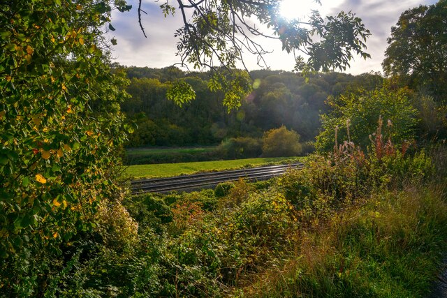
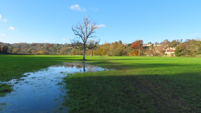
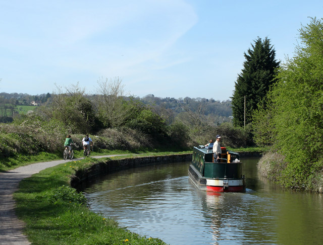
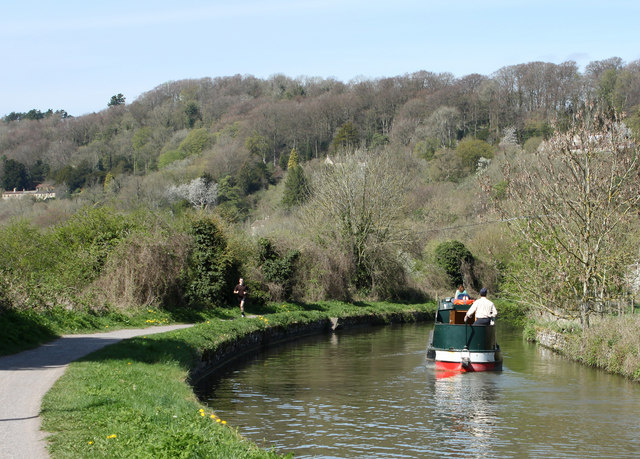
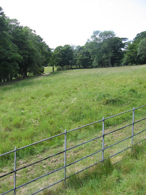
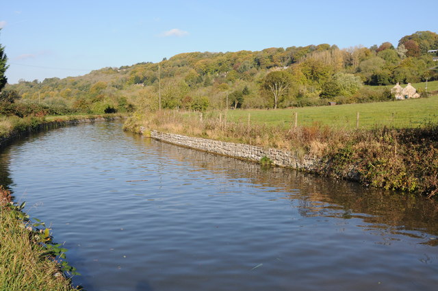
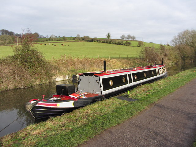
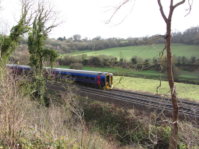
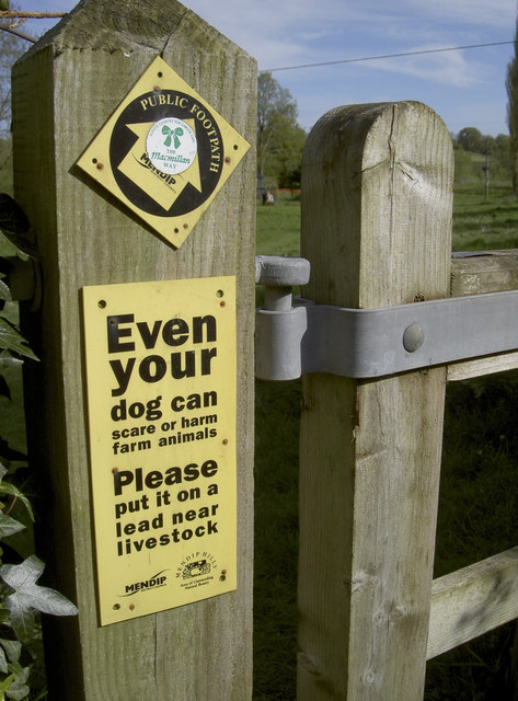
The village is known for its scenic beauty, with rolling hills, lush green fields, and charming country lanes. It is surrounded by farmland, which adds to its rural charm. The landscape also provides ample opportunities for outdoor activities such as hiking, cycling, and horseback riding.
Lye Green is a close-knit community with a small population. The village is primarily residential, with a mix of traditional cottages and more modern houses. Despite its size, Lye Green boasts a strong sense of community spirit, with various local events and activities organized throughout the year.
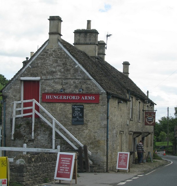
The village does not have its own amenities, such as shops or schools, but it is well-connected to nearby towns where residents can find all necessary services. The village is also within driving distance to larger cities like Swindon and Bath, offering further amenities and cultural attractions.
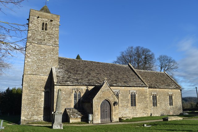
One notable landmark in Lye Green is the local church, which dates back to the medieval period. The church, with its beautiful architecture, serves as a historic reminder of the village's past.
In summary, Lye Green is a charming village in Wiltshire, offering a peaceful and scenic environment for those seeking a rural lifestyle. With its strong community spirit and proximity to nearby towns, it provides a balance of tranquility and convenience for its residents.
If you have any feedback on the listing, please let us know in the comments section below.
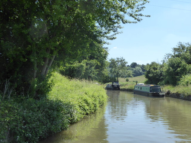
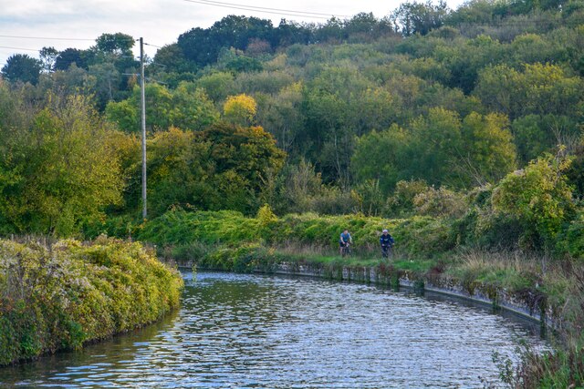
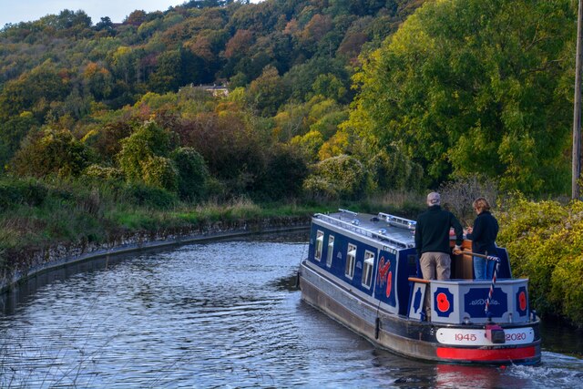
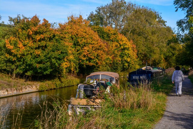
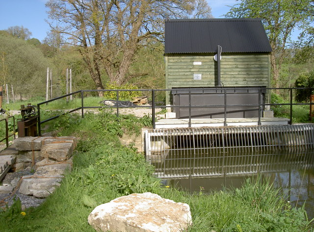
Lye Green Images
Images are sourced within 2km of 51.329775/-2.2740884 or Grid Reference ST8159. Thanks to Geograph Open Source API. All images are credited.

Lye Green is located at Grid Ref: ST8159 (Lat: 51.329775, Lng: -2.2740884)
Unitary Authority: Wiltshire
Police Authority: Wiltshire
What 3 Words
///zone.orange.level. Near Westwood, Wiltshire
Nearby Locations
Related Wikis
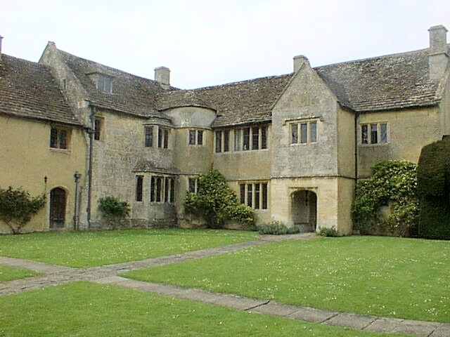
Westwood Manor
Westwood Manor is a 15th-century manor house with 16th-century additions and 17th-century plaster-work in the village of Westwood, near Bradford-on-Avon...

Westwood, Wiltshire
Westwood is a large village and a civil parish in west Wiltshire, England. The village is about 1.4 miles (2.3 km) southwest of the town of Bradford-on...

Iford Manor
Iford Manor (grid reference ST802589) is a manor house in Wiltshire, England. It is a Grade II* listed building sitting on the steep, south-facing slope...

Midway Manor
Midway Manor is a country house and farm in Wingfield parish, about 1+1⁄2 miles (2.4 km) south of Bradford on Avon in Wiltshire, England. The house is...
Nearby Amenities
Located within 500m of 51.329775,-2.2740884Have you been to Lye Green?
Leave your review of Lye Green below (or comments, questions and feedback).