Lower Westwood

Settlement in Wiltshire

England

Lower Westwood

A sharp bend in the Kennet & Avon Canal below Avoncliff Wood
A sharp bend in the Kennet & Avon Canal below Avoncliff Wood Credit: Rod Allday

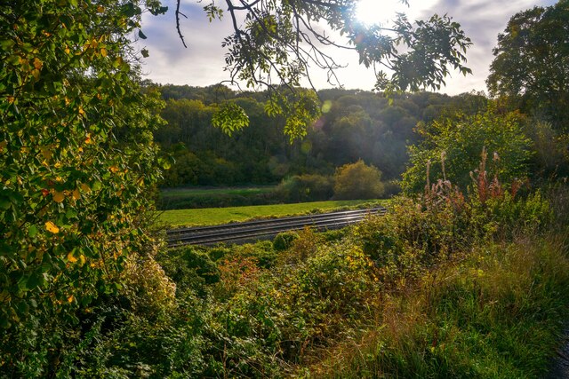
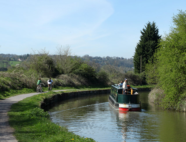
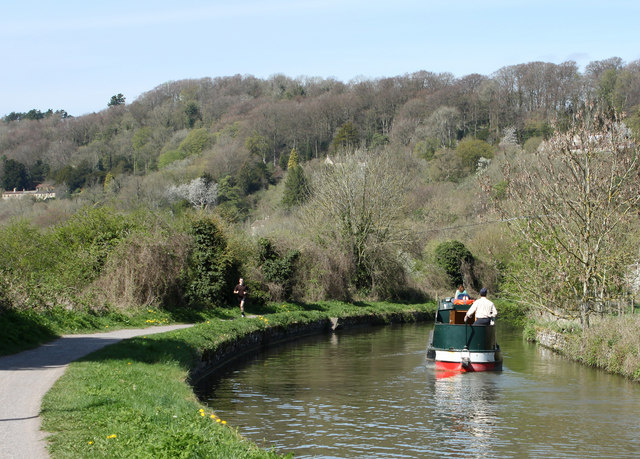
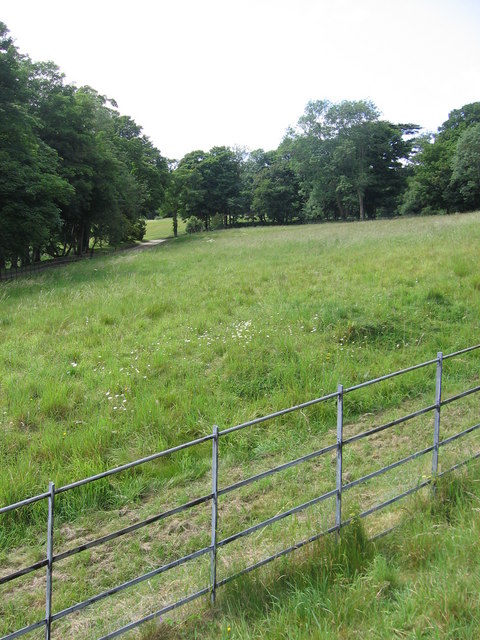
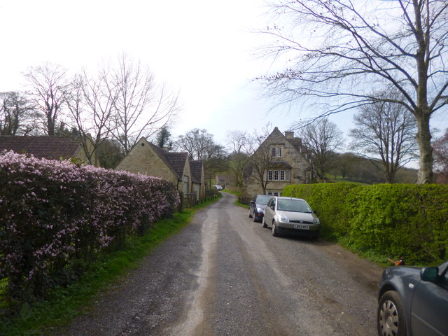
Lower Westwood is a small village located in the county of Wiltshire, England. Situated approximately three miles west of the historic town of Bradford-on-Avon, Lower Westwood is nestled in the picturesque countryside of the Avon Valley. The village is characterized by its charming rural setting, with rolling hills, fields, and woodlands surrounding the area.

Lower Westwood is known for its tranquil atmosphere and natural beauty, making it a popular destination for those seeking a peaceful retreat. The village is primarily residential, with a close-knit community that takes pride in maintaining its traditional charm. The architecture in Lower Westwood is predominantly comprised of attractive stone-built cottages, some of which date back to the 17th century.

Despite its small size, the village offers a range of amenities to its residents. These include a local pub, The Fox and Hounds, which serves as a social hub and offers a warm and welcoming atmosphere. Additionally, Lower Westwood benefits from being in close proximity to Bradford-on-Avon, where residents can access a wider range of facilities, such as shops, restaurants, and schools.

The surrounding countryside provides ample opportunities for outdoor activities, including walking, cycling, and horse riding. Lower Westwood is also conveniently located near popular tourist attractions, such as the UNESCO World Heritage Site of Bath, which is just a short drive away.

In summary, Lower Westwood is a charming village that offers a tranquil and idyllic setting, making it an appealing place to reside for those seeking a peaceful rural lifestyle.

If you have any feedback on the listing, please let us know in the comments section below.

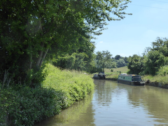
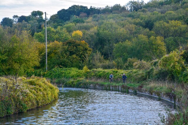
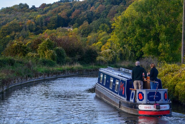
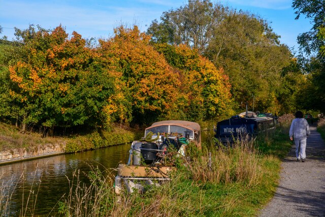
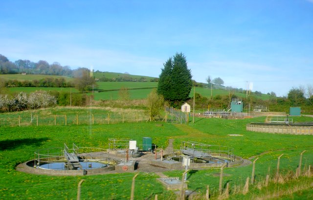
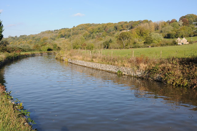
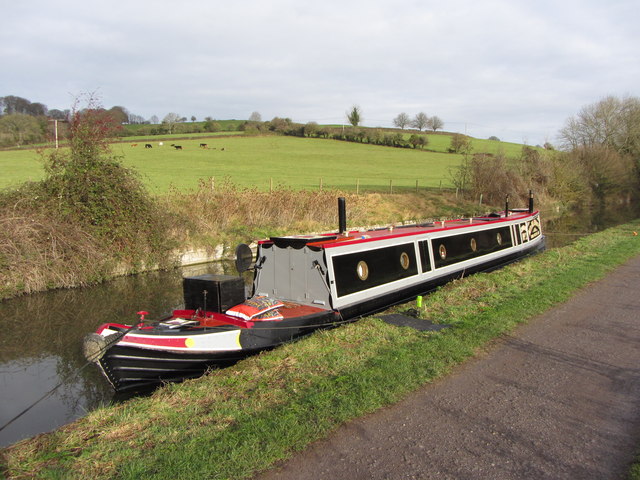
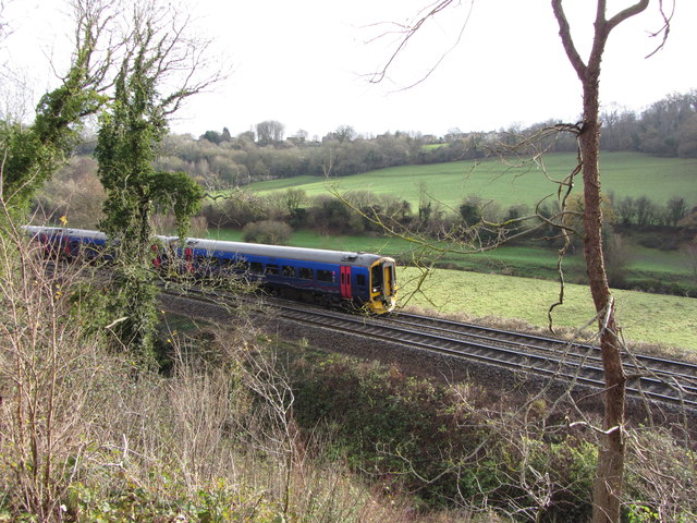
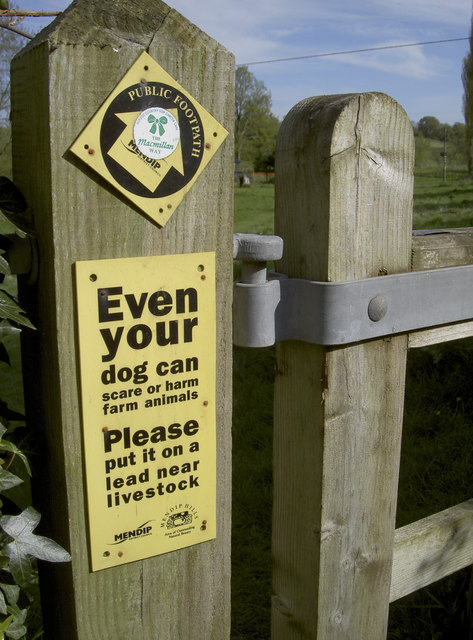
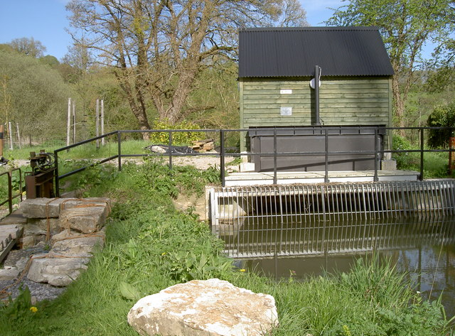
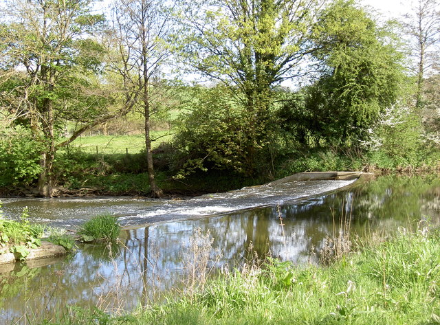
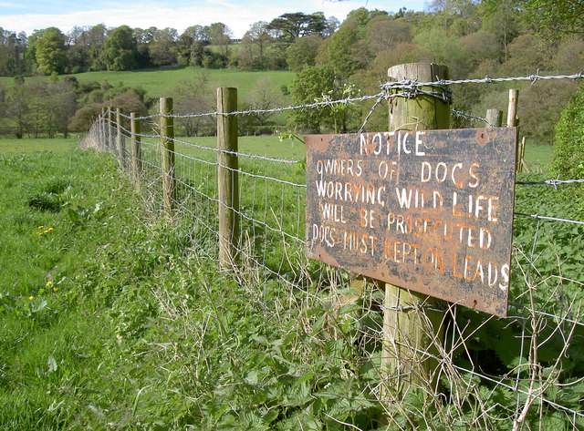
Lower Westwood Images

Images are sourced within 2km of 51.330337/-2.268408 or Grid Reference ST8159. Thanks to Geograph Open Source API. All images are credited.

A sharp bend in the Kennet & Avon Canal below Avoncliff Wood
Avoncliff : Kennet & Avon Canal Looking along the Kennet & Avon Canal.
Avoncliff : Kennet & Avon Canal
Looking along the Kennet & Avon Canal.
Avoncliff : Kennet & Avon Canal Looking along the Kennet & Avon Canal.
Avoncliff : Kennet & Avon Canal
Looking along the Kennet & Avon Canal.
Avoncliff : Kennet & Avon Canal Looking along the Kennet & Avon Canal.
Avoncliff : Kennet & Avon Canal
Looking along the Kennet & Avon Canal.
Avoncliff : Railway The railway seen from the canal towpath.
Avoncliff : Railway
The railway seen from the canal towpath.
2011 : Kennet & Avon Canal west of Avoncliff A long straight stretch hidden by the wide variety of boats to be seen on the K&A. A mixture of craft, broad beam (up to 14 ft) and narrow, usually 6ft 10ins.
Privately owned craft rub cheek by jowl with hire boats. Anything from 8 ft length to 72 (yes 72) ft. Though the only horse drawn boat I know of is usually at Kintbury.
2011 : Kennet & Avon Canal west of Avoncliff
A long straight stretch hidden by the wide variety of boats to be seen on the K&A. A mixture of craft, broad beam (up to 14 ft) and narrow, usually 6ft 10ins. Privately owned craft rub cheek by jowl with hire boats. Anything from 8 ft length to 72 (yes 72) ft. Though the only horse drawn boat I know of is usually at Kintbury.
2011 : Kennet  & Avon Canal near Avoncliff This section of canal is concrete lined, the sloping sides underwater have caught many a steerer. Poor visibility round the bend tempts the steerer too close to the bank on the right. This gentleman is well experienced and has kept just far enough away from the side.
2011 : Kennet & Avon Canal near Avoncliff
This section of canal is concrete lined, the sloping sides underwater have caught many a steerer. Poor visibility round the bend tempts the steerer too close to the bank on the right. This gentleman is well experienced and has kept just far enough away from the side.
2011 : Kennet & Avon Canal approaching Winsley Bridge Between Avoncliff and Murhill.
The towpath is much used by joggers and cyclists as well as walkers, some with dogs.
A sewage treatment plant is close by to the left, it is only on rare occasions that passers by are aware of it.
2011 : Kennet & Avon Canal approaching Winsley Bridge
Between Avoncliff and Murhill. The towpath is much used by joggers and cyclists as well as walkers, some with dogs. A sewage treatment plant is close by to the left, it is only on rare occasions that passers by are aware of it.
The end of the grounds at Iford Manor This fence, which lies just beyond the orchard, is as far as visitors can go.
The end of the grounds at Iford Manor
This fence, which lies just beyond the orchard, is as far as visitors can go.
Avoncliff Sewage Works This shows the sewage works right next to the River Avon and tucked in between it and the railway from where this was taken.
Avoncliff Sewage Works
This shows the sewage works right next to the River Avon and tucked in between it and the railway from where this was taken.
Kennet and Avon Canal The Kennet and Avon Canal to the west of Avoncliff.
Kennet and Avon Canal
The Kennet and Avon Canal to the west of Avoncliff.
Kennet & Avon narrowboat,  near Avoncliff
Kennet & Avon narrowboat, near Avoncliff
Railway line near Avoncliff
Eye test or responsibility test? The warning sign on a footpath gate might grab the attention with the differing font size. At least someone has put a 'Macmillan Way' sticker on it as well to emphasise its status.
Eye test or responsibility test?
The warning sign on a footpath gate might grab the attention with the differing font size. At least someone has put a 'Macmillan Way' sticker on it as well to emphasise its status.
Green power The River Frome was altered over 100 years ago to provide means to run a mill. The weir is still there (see <a href="https://www.geograph.org.uk/photo/3459579">ST7958 : Frome weir</a>) but the mill has since gone; however, a new form of power is being used today. This unimposing station houses an Archimedes Screw turbine that can generate up to 44kW, and an annual output of 149MWh. It appears to be up and running again after suffering bearing failure recently.
Green power
The River Frome was altered over 100 years ago to provide means to run a mill. The weir is still there (see ST7958 : Frome weir) but the mill has since gone; however, a new form of power is being used today. This unimposing station houses an Archimedes Screw turbine that can generate up to 44kW, and an annual output of 149MWh. It appears to be up and running again after suffering bearing failure recently.
Frome weir The man-made weir remains after over a century.
Frome weir
The man-made weir remains after over a century.
Warning shot A home-made but important notice to users of the footpath through Friary Wood and on to Sharpstone.
Warning shot
A home-made but important notice to users of the footpath through Friary Wood and on to Sharpstone.
Iford hamlet A handful of cottages and houses overlooking <a href="https://www.geograph.org.uk/photo/3907834">ST8058 : Iford Manor</a>.
Iford hamlet
A handful of cottages and houses overlooking ST8058 : Iford Manor.
Show me another place!

Lower Westwood is located at Grid Ref: ST8159 (Lat: 51.330337, Lng: -2.268408)

Unitary Authority: Wiltshire

Police Authority: Wiltshire

What 3 Words

///noble.doctor.roofs. Near Westwood, Wiltshire

Nearby Locations

Lower Westwood Lye Green

Related Wikis

Westwood, Wiltshire

Westwood is a large village and a civil parish in west Wiltshire, England. The village is about 1.4 miles (2.3 km) southwest of the town of Bradford-on...
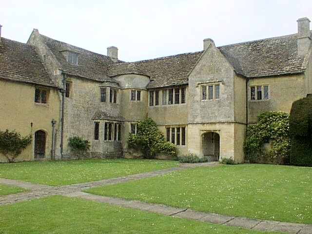
Westwood Manor

Westwood Manor is a 15th-century manor house with 16th-century additions and 17th-century plaster-work in the village of Westwood, near Bradford-on-Avon...

Midway Manor

Midway Manor is a country house and farm in Wingfield parish, about 1+1⁄2 miles (2.4 km) south of Bradford on Avon in Wiltshire, England. The house is...

Iford Manor

Iford Manor (grid reference ST802589) is a manor house in Wiltshire, England. It is a Grade II* listed building sitting on the steep, south-facing slope...

Nearby Amenities

Located within 500m of 51.330337,-2.268408
Barrier: entrance
Lat/Long: 51.3271102/-2.2696243
Barrier: entrance
Lat/Long: 51.3292202/-2.2702918
Barrier: stile
Lat/Long: 51.3290934/-2.271485
Barrier: entrance
Lat/Long: 51.329958/-2.2712463
Barrier: kissing_gate
Lat/Long: 51.330357/-2.2737274
Lower Westwood
Is In: Wiltshire, England, UK
Place: hamlet
Lat/Long: 51.3292336/-2.2689131
Barrier: kissing_gate
Lat/Long: 51.3308968/-2.2681344
Barrier: stile
Lat/Long: 51.3319064/-2.2667108
Barrier: stile
Lat/Long: 51.3333731/-2.2654906
Barrier: stile
Lat/Long: 51.3338816/-2.2677253
Barrier: stile
Lat/Long: 51.3300883/-2.2644463
Barrier: stile
Lat/Long: 51.3300412/-2.2642208
Power: tower
Lat/Long: 51.326765/-2.2666025
Barrier: kissing_gate
Lat/Long: 51.3306883/-2.2743802
Barrier: stile
Lat/Long: 51.3308213/-2.2746871
Barrier: stile
Lat/Long: 51.3323169/-2.2713081
Barrier: stile
Lat/Long: 51.331675/-2.2718365
Barrier: stile
Lat/Long: 51.3302824/-2.2746246
Barrier: kissing_gate
Lat/Long: 51.3316512/-2.2738251
Bus Stop
New Inn, Westwood
Bus: yes
Naptan AtcoCode: 4600WIA11366
Naptan NaptanCode: wiladjgt
Public Transport: platform
Lat/Long: 51.3303854/-2.268301
Bus Stop
New Inn, Westood
Bus: yes
Naptan AtcoCode: 4600WIA11365
Naptan NaptanCode: wiladjgp
Public Transport: platform
Lat/Long: 51.3303653/-2.2684003
Westwood Manor, National Trust
Addr Postcode: BA15 2AF
Opening Hours: Su, Tu-We 14:00-17:00
Phone: +44 1225 863374
Tourism: attraction
Lat/Long: 51.3299347/-2.2704597
Not Operator Wikidata: Q43080530
Operator: Scottish and Southern Electricity Networks
Power: pole
Lat/Long: 51.3309066/-2.2682127
Material: wood
Operator: Scottish and Southern Electricity Networks
Operator Wikidata: Q43080530
Power: pole
Lat/Long: 51.3315015/-2.2689356
Material: wood
Operator: Scottish and Southern Electricity Networks
Operator Wikidata: Q43080530
Power: pole
Lat/Long: 51.3320722/-2.269641
Material: wood
Operator: Scottish and Southern Electricity Networks
Operator Wikidata: Q43080530
Power: pole
Lat/Long: 51.3321426/-2.2713684
Material: wood
Operator: Scottish and Southern Electricity Networks
Operator Wikidata: Q43080530
Power: pole
Lat/Long: 51.3322222/-2.273148
Material: wood
Operator: Scottish and Southern Electricity Networks
Operator Wikidata: Q43080530
Power: pole
Lat/Long: 51.3328087/-2.2740184
Bench
Lat/Long: 51.3297692/-2.2707303
Parking
Lat/Long: 51.3296842/-2.2700194
The data included in this document is from www.openstreetmap.org. The data is made available under ODbL.

Have you been to Lower Westwood?

Leave your review of Lower Westwood below (or comments, questions and feedback).