Bedhampton
Settlement in Hampshire Havant
England
Bedhampton
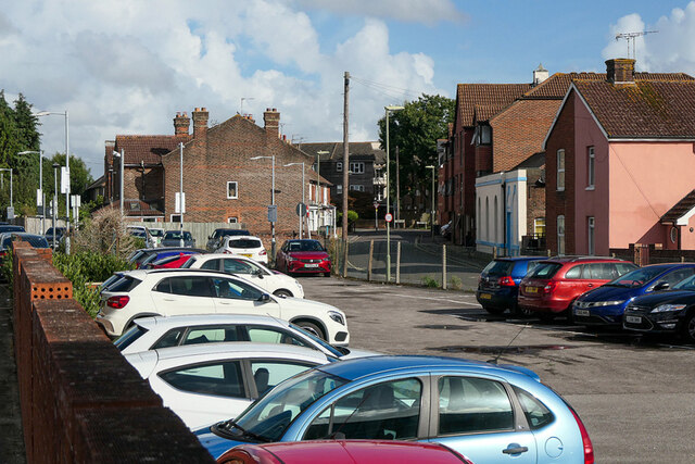
Bedhampton is a suburban village located in the county of Hampshire, England. Situated approximately three miles to the east of Portsmouth, it forms part of the Havant borough. With a population of around 8,000 residents, Bedhampton offers a peaceful and charming environment that is perfect for families and commuters alike.
The village is known for its picturesque landscapes and green spaces, including the popular Bidbury Mead Park. This well-maintained park offers ample space for recreational activities such as picnics, sports, and leisurely walks. Bedhampton also benefits from its close proximity to the Hampshire countryside, providing residents with opportunities for outdoor pursuits and exploring nature trails.
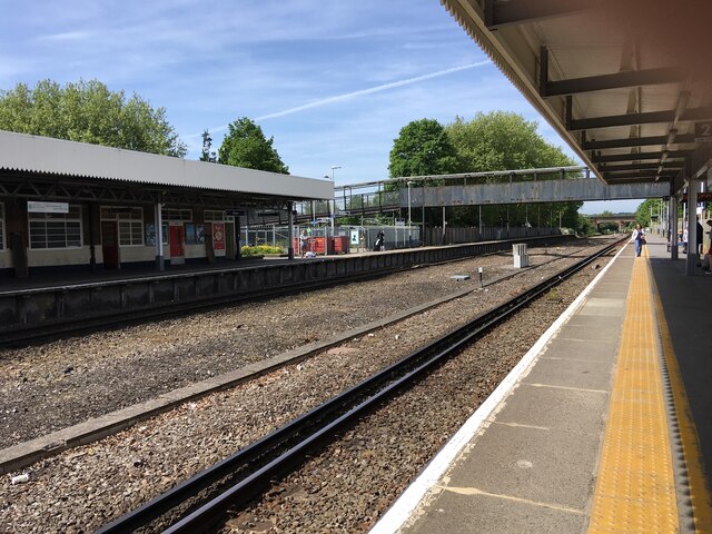
In terms of amenities, Bedhampton has a range of local shops, pubs, and restaurants that cater to the needs of its residents. The village is home to a primary school, making it an attractive choice for families with young children. Additionally, Bedhampton has excellent transport links, with a railway station connecting it to larger towns and cities in the region.
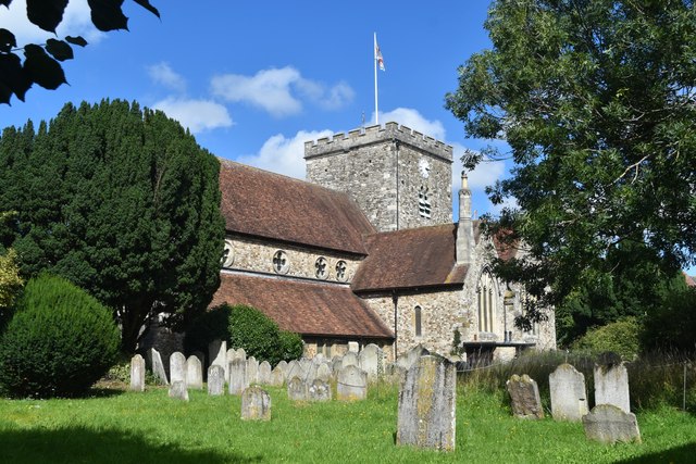
For history enthusiasts, Bedhampton boasts a rich heritage. The village is home to several listed buildings, including the 12th-century St Thomas à Becket Church, which is a notable landmark. Furthermore, Bedhampton is known for its involvement in the D-Day landings during World War II, with historical sites and memorials commemorating this significant event.
Overall, Bedhampton offers a tranquil and friendly environment with a strong sense of community. Its convenient location, natural beauty, and historical significance contribute to its charm, making it a desirable place to live and visit.
If you have any feedback on the listing, please let us know in the comments section below.
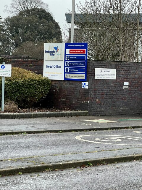
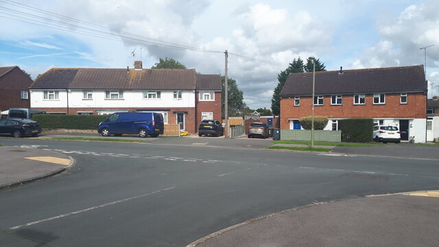
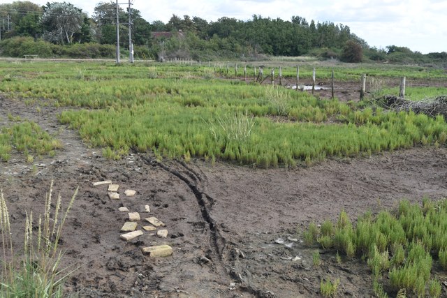
Bedhampton Images
Images are sourced within 2km of 50.854869/-1.004063 or Grid Reference SU7006. Thanks to Geograph Open Source API. All images are credited.


Bedhampton is located at Grid Ref: SU7006 (Lat: 50.854869, Lng: -1.004063)
Administrative County: Hampshire
District: Havant
Police Authority: Hampshire
What 3 Words
///living.closes.crust. Near Havant, Hampshire
Nearby Locations
Related Wikis
Bedhampton
Bedhampton is a former village, and now suburb, located in the Borough of Havant, Hampshire, England. It is located at the northern end of Langstone Harbour...

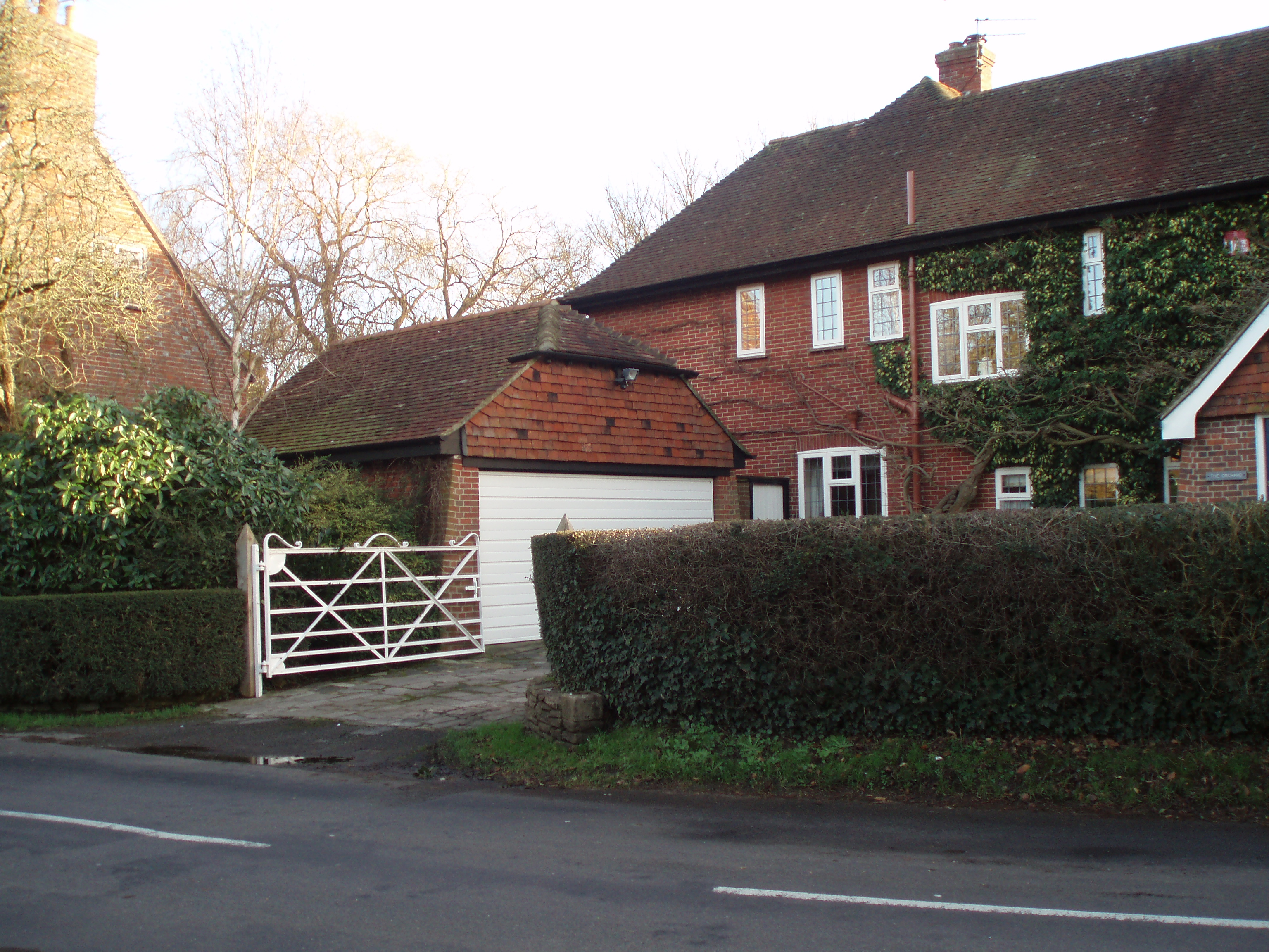
The Elms (Bedhampton)
The Elms is an historic house in Old Bedhampton, near Havant, Hampshire in England. It is a Grade II* listed building The house was built in the 17th century...

Bedhampton railway station
Bedhampton railway station serves the former village of Bedhampton, now a suburb lying a mile west of the centre of Havant, in Hampshire, England. ��2...

Keydell House
Keydell House was situated in 45 acres (180,000 m2) of land near Lovedean Corner, in the village of Horndean, part of the ecclesiastical parish of Catherington...
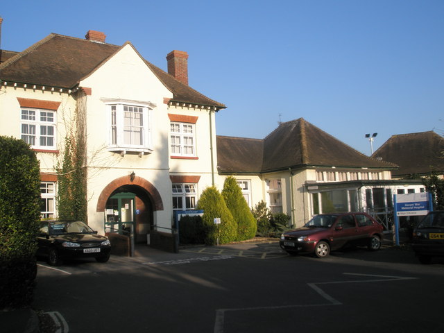
Havant War Memorial Hospital
Havant War Memorial Hospital was a health facility in Crossway in Havant, Hampshire, England. It was managed by Southern Health NHS Foundation Trust....
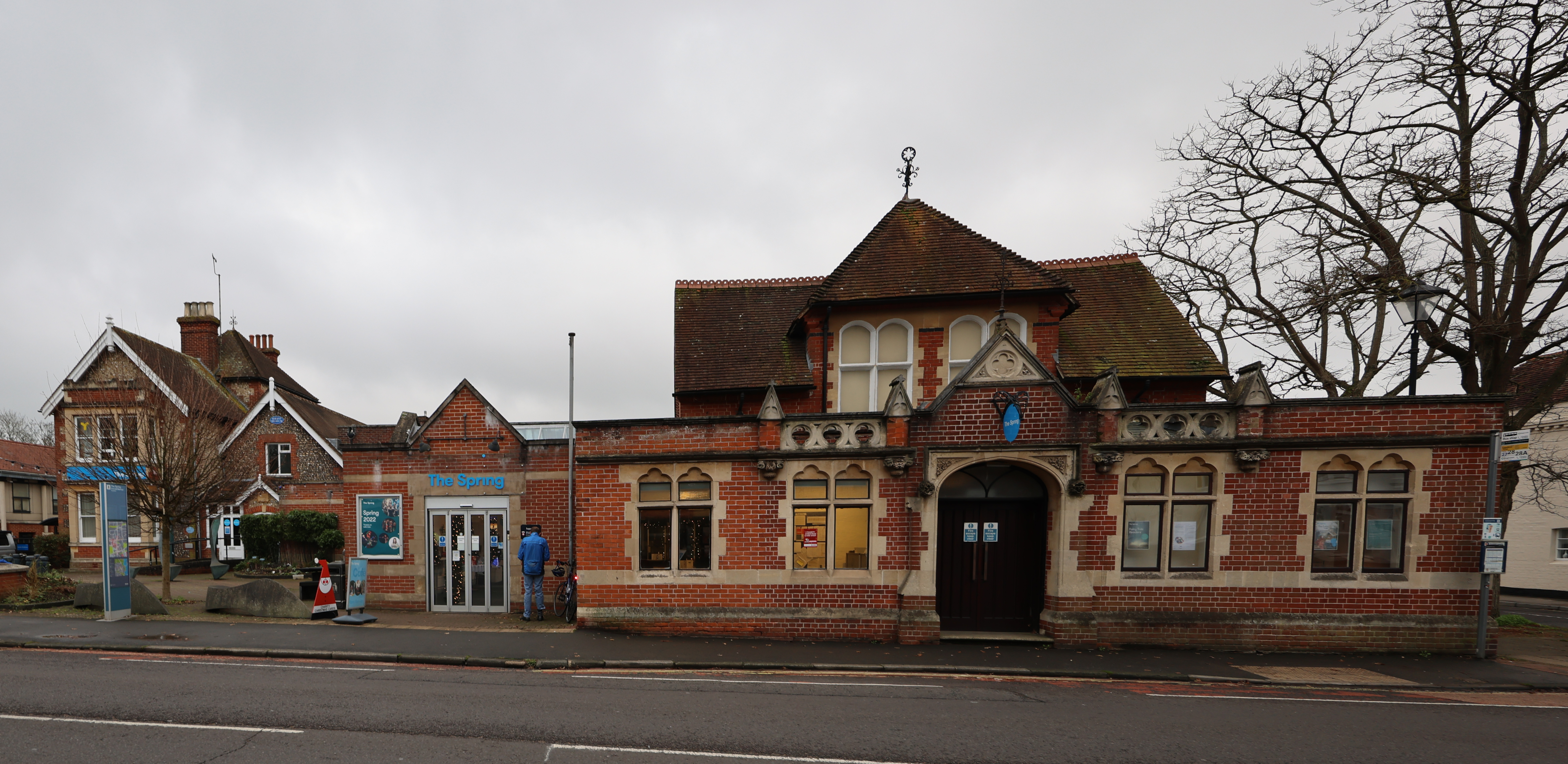
The Spring Arts & Heritage Centre
The Spring Arts & Heritage Centre (known as the Havant Arts Centre until 2009) is an arts centre in Havant, Hampshire, England. The main building was completed...
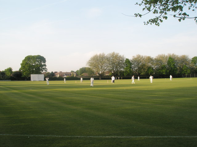
Havant Cricket Club
Havant Cricket Club is an amateur cricket club based at Havant, Hampshire. The club's first team plays in the Southern Premier Cricket League, which is...

Havant
Havant ( HAV-ənt) is a town in the south-east corner of Hampshire, England between Portsmouth and Chichester. Its borough (population: 125,000) comprises...
Nearby Amenities
Located within 500m of 50.854869,-1.004063Have you been to Bedhampton?
Leave your review of Bedhampton below (or comments, questions and feedback).