Bedham

Settlement in Sussex Chichester

England

Bedham

Woodland at Arundel Holt
Woodland at Arundel Holt Credit: Martyn Pattison

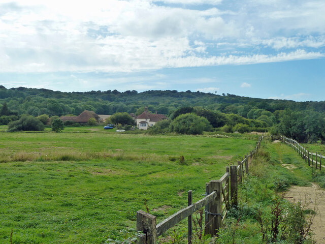
Bedham is a small village located in the county of Sussex, England. Situated in the district of Chichester, it is nestled within the picturesque South Downs National Park. Known for its idyllic rural setting, Bedham offers a tranquil and peaceful environment.

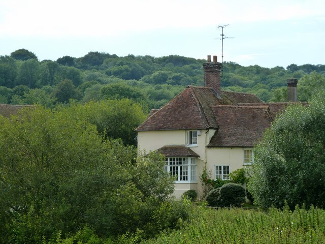
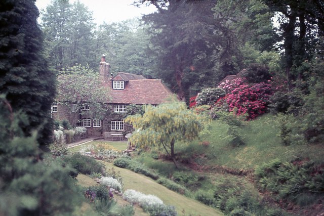
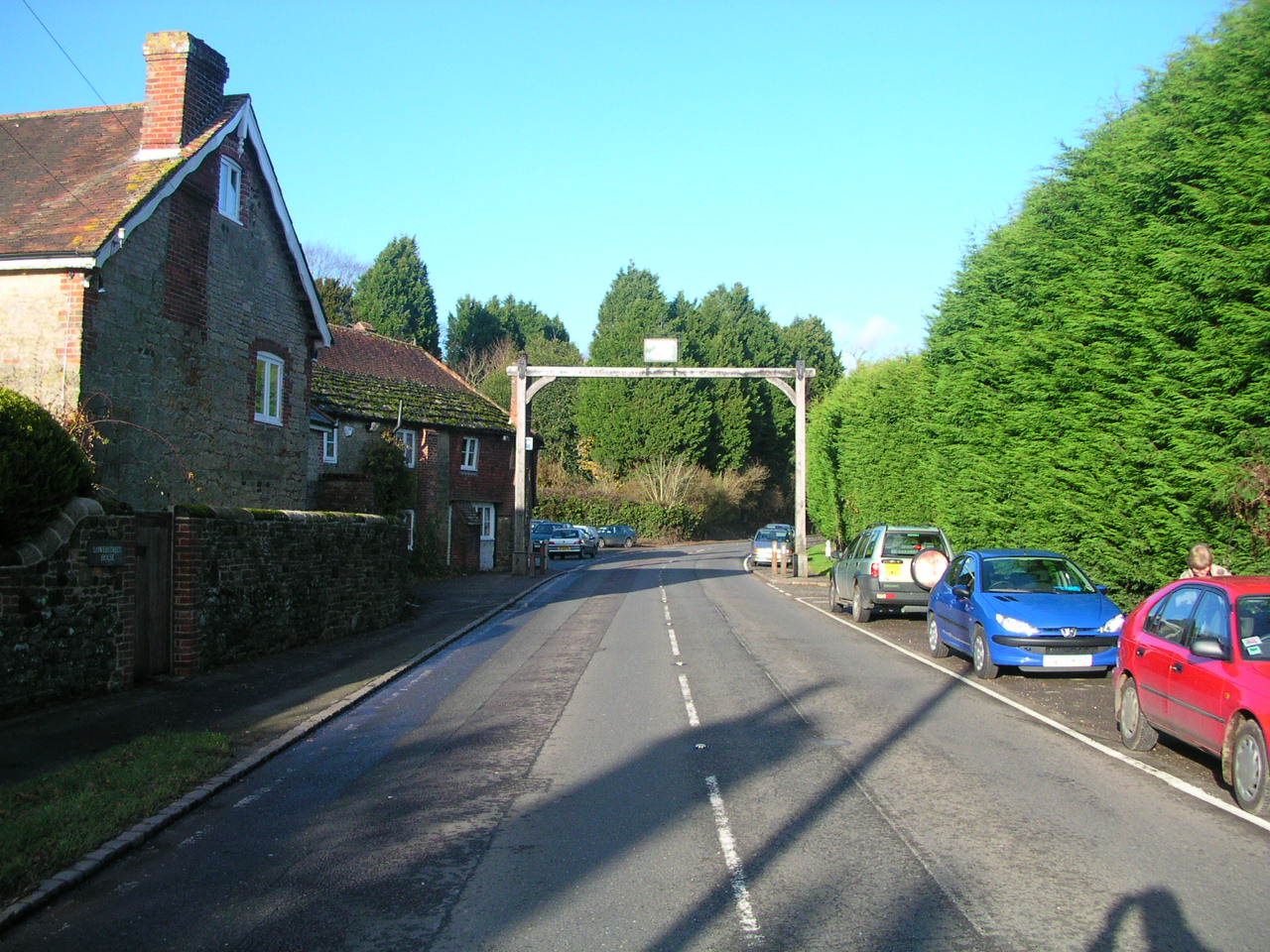
The village is characterized by its charming cottages, many of which date back to the 17th and 18th centuries, giving it a quaint and historic feel. The architecture showcases the traditional Sussex style, featuring timber-framed structures with white-painted exteriors and thatched roofs.

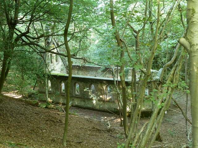
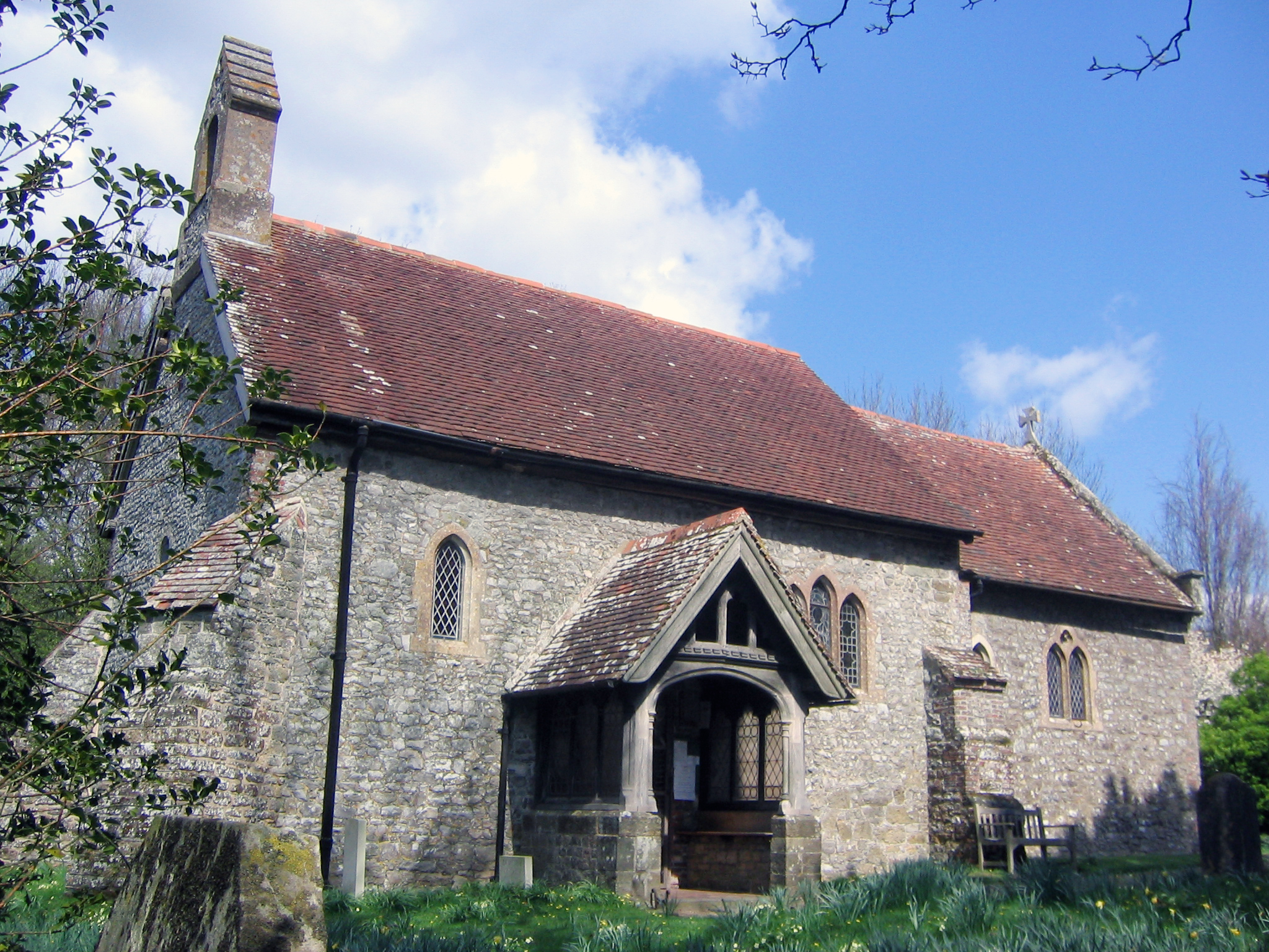
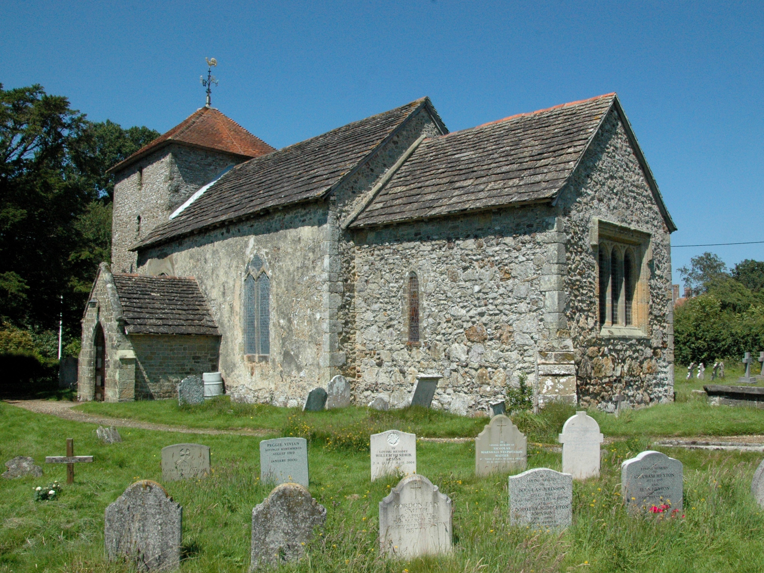
Despite its small size, Bedham boasts a strong sense of community. Residents can enjoy the local amenities such as a village hall, a primary school, and a church. The nearby market town of Petworth provides additional services and facilities, including shops, restaurants, and a wider range of educational institutions.

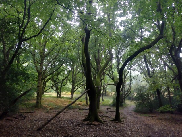
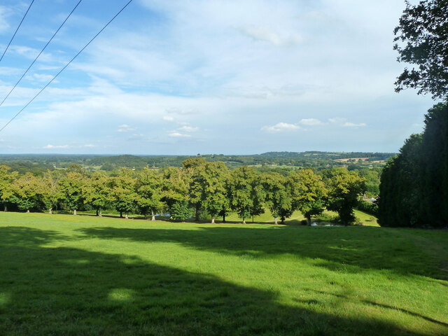
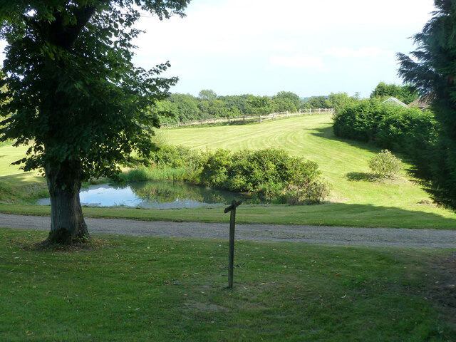
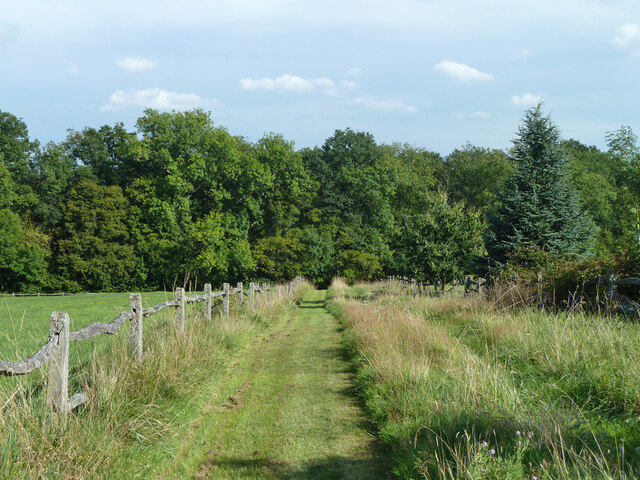
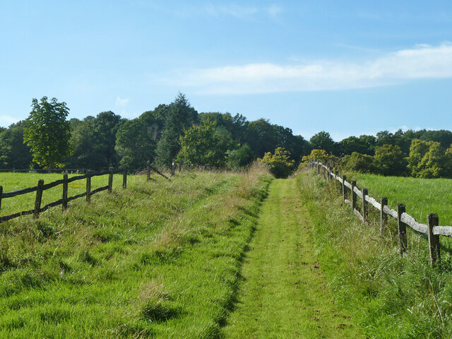
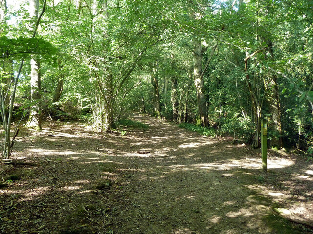
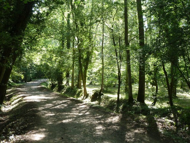
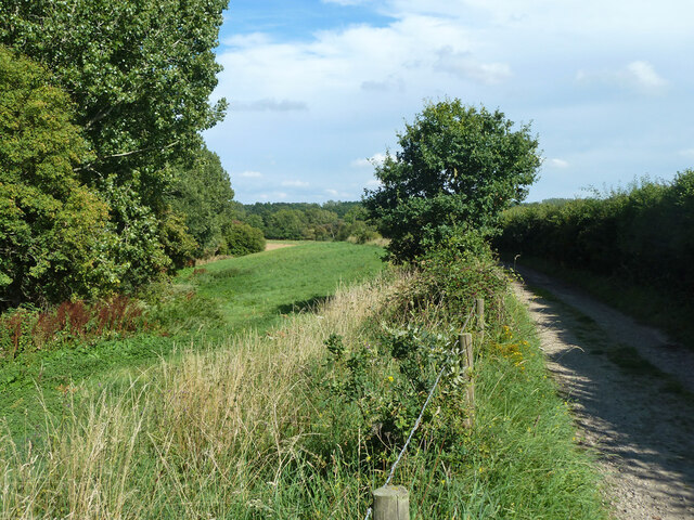
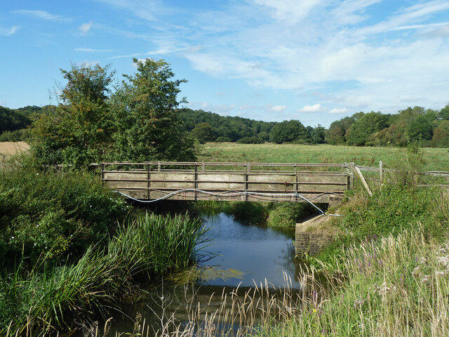
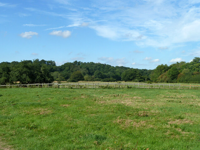
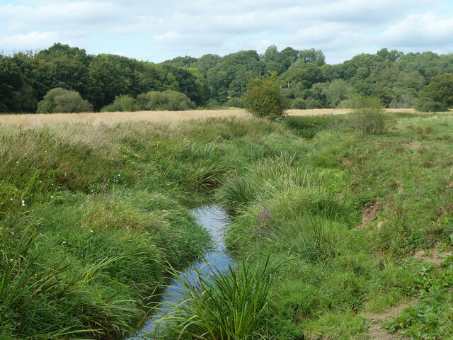
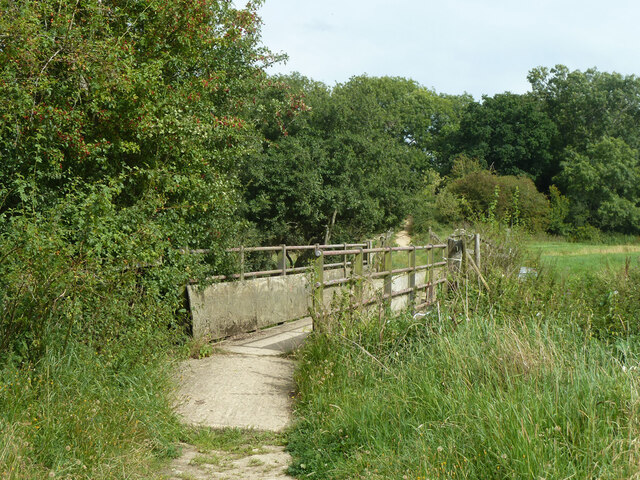
Nature enthusiasts are drawn to Bedham for its stunning surroundings. The village is surrounded by rolling hills, lush meadows, and ancient woodlands, making it an ideal location for walking, hiking, and exploring the countryside. The South Downs Way, a long-distance footpath, passes close by, offering breathtaking views of the landscape.

Overall, Bedham offers a peaceful retreat from the hustle and bustle of city life. Its charming village atmosphere, beautiful architecture, and stunning natural surroundings make it an attractive destination for those seeking a slower pace of life and a connection to nature.

If you have any feedback on the listing, please let us know in the comments section below.

Bedham Images

Images are sourced within 2km of 50.989686/-0.550212 or Grid Reference TQ0122. Thanks to Geograph Open Source API. All images are credited.

Woodland at Arundel Holt
Ruin, Bedham Built 1880 as a church and school, the school use closing in 1925 and final closure in 1959.
Ruin, Bedham
Built 1880 as a church and school, the school use closing in 1925 and final closure in 1959.
View east over field north of Mockbeggars
Footpath past pond by Mockbeggars Public footpath 776 passes between the pond and the buildings of Mockbeggars off to the right.
Footpath past pond by Mockbeggars
Public footpath 776 passes between the pond and the buildings of Mockbeggars off to the right.
Footpath 776 south-west from Mockbeggars
Footpath 776 towards Mockbeggars and Bedham Lane
Crossways in Quay Copse Bridleway 709, straight on, crosses footpath 776, right and left.
Crossways in Quay Copse
Bridleway 709, straight on, crosses footpath 776, right and left.
Bridleway 3421 in Quay Copse A way up from Pallingham Quay.
Bridleway 3421 in Quay Copse
A way up from Pallingham Quay.
Narrow field by farm track to Pallingham Quay The track is also bridleway 3421.
Narrow field by farm track to Pallingham Quay
The track is also bridleway 3421.
Bridge over River Arun Public bridleway 3421 crosses.
Bridge over River Arun
Public bridleway 3421 crosses.
Footpath 1979 in Arun valley Looking north towards the gate onto bridleway 3421 which crosses the valley.
Footpath 1979 in Arun valley
Looking north towards the gate onto bridleway 3421 which crosses the valley.
View across Arun valley to Pallingham Quay Farm Bridleway 3421 crosses the valley.
View across Arun valley to Pallingham Quay Farm
Bridleway 3421 crosses the valley.
River Arun above Pallingham Quay Looking remarkably choked up with summer vegetation.
River Arun above Pallingham Quay
Looking remarkably choked up with summer vegetation.
Pallingham Quay Farm An 18th century grade II listed building.
Pallingham Quay Farm
An 18th century grade II listed building.
Bridge over River Arun Bridleway 3421 crosses.
Bridge over River Arun
Bridleway 3421 crosses.
Wakestone Lane
Wakestone Lane
Crowsole Mill At Little Bognor.
Crowsole Mill
At Little Bognor.
A272, Foxhill The A272 is a very rural A road, which follows an east to west route from near Heathfield to Winchester, passing through the Sussex countryside. It runs 86 miles from Sutton Scotney to Five Ashes <a href="https://www.geograph.org.uk/photo/6669405">TQ5523 : A267, A272 junction</a>.
<span class="nowrap"><a title="http://www.sabre-roads.org.uk/wiki/index.php?title=A272" rel="nofollow ugc noopener" href="http://www.sabre-roads.org.uk/wiki/index.php?title=A272">Link</a><img style="margin-left:2px;" alt="External link" title="External link - shift click to open in new window" src="https://s1.geograph.org.uk/img/external.png" width="10" height="10"/></span> 
Wikipedia: <span class="nowrap"><a title="http://en.wikipedia.org/wiki/A272_road" rel="nofollow ugc noopener" href="http://en.wikipedia.org/wiki/A272_road">Link</a><img style="margin-left:2px;" alt="External link" title="External link - shift click to open in new window" src="https://s1.geograph.org.uk/img/external.png" width="10" height="10"/></span>
A272, Foxhill
The A272 is a very rural A road, which follows an east to west route from near Heathfield to Winchester, passing through the Sussex countryside. It runs 86 miles from Sutton Scotney to Five Ashes TQ5523 : A267, A272 junction. LinkExternal link Wikipedia: LinkExternal link
Show me another place!

Bedham is located at Grid Ref: TQ0122 (Lat: 50.989686, Lng: -0.550212)

Administrative County: West Sussex

District: Chichester

Police Authority: Sussex

What 3 Words

///speeds.radiates.snuck. Near Pulborough, West Sussex

Related Wikis

Bognor Common Quarry

Bognor Common Quarry is a 25.1-hectare (62-acre) geological Site of Special Scientific Interest east of Petworth in West Sussex. It is a Geological Conservation...

The Mens

The Mens is a 205.2-hectare (507-acre) biological Site of Special Scientific Interest west of Billingshurst in West Sussex. It is a Nature Conservation...

Bedham

Bedham is a hamlet 4 kilometres (2+1⁄2 miles) east of Petworth in the Chichester District of West Sussex, England. It is in the civil parish of Wisborough...

Upper Arun

Upper Arun is a 17.6-hectare (43-acre) biological Site of Special Scientific Interest between Billingshurst and Pulborough in West Sussex.This 13-kilometre...

Fittleworth

Fittleworth is a village and civil parish in the District of Chichester in West Sussex, England located seven kilometres (3 miles) west from Pulborough...

Egdean

Egdean (pronounced Egg-deen) is a small village in the Chichester district of West Sussex, England. It lies just off the A283 road 1.7 miles (2.8 km) southeast...

Stopham

Stopham is a hamlet and civil parish in the District of Chichester in West Sussex, England, about 1.5 miles (2.4 km) west of Pulborough on the A283 road...

Park Farm Cutting

Park Farm Cutting is a 0.2-hectare (0.49-acre) geological Site of Special Scientific Interest west of Pulborough in West Sussex. It is a Geological Conservation...

Nearby Amenities

Located within 500m of 50.989686,-0.550212
Bedham
Is In: West Sussex, England, UK
Place: hamlet
Source: npe
Lat/Long: 50.9875752/-0.5515312
Post Box
Ref: RH20 105
Lat/Long: 50.9871444/-0.5521281
Place Of Worship
Bedham Old Church
Denomination: anglican
Disused: yes
Religion: christian
Ruins: church
Lat/Long: 50.9889528/-0.5544804
The data included in this document is from www.openstreetmap.org. The data is made available under ODbL.

Have you been to Bedham?

Leave your review of Bedham below (or comments, questions and feedback).