Sgeir Charrach

Island in Argyllshire

Scotland

Sgeir Charrach

Heading north on Gigha A view of the 'main road' heading north on Gigha, from a small hillock by Tarbert Farm.

This photograph was taken during the Coronavirus (COVID-19) pandemic of 2020/21.
Heading north on Gigha Credit: James T M Towill

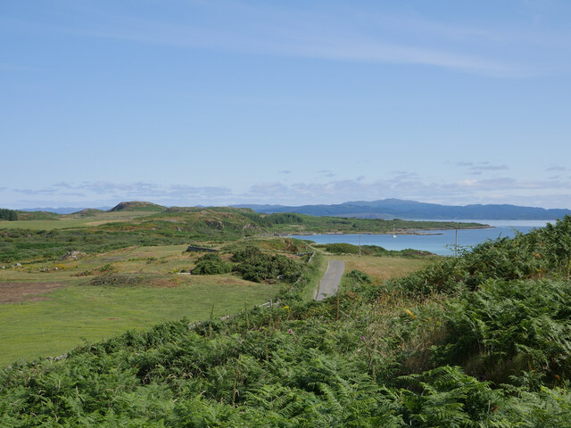
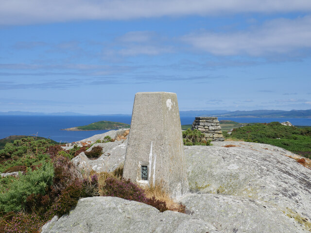
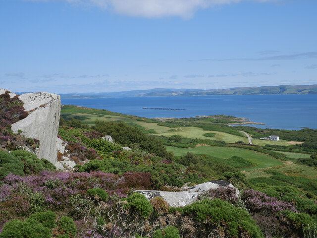
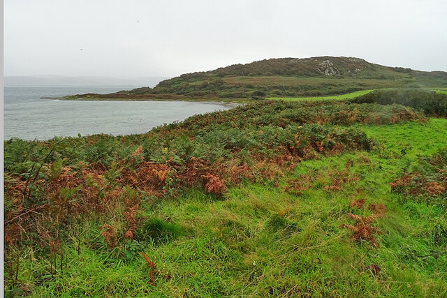
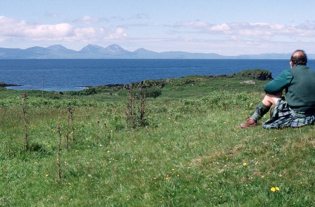
Sgeir Charrach is a small uninhabited island located off the west coast of Scotland, in Argyllshire. It is situated in the Firth of Lorn, between the mainland and the Isle of Mull. The island has a rocky terrain, with cliffs rising up to 30 meters in some areas. Its name, Sgeir Charrach, translates to "rough skerry" in Gaelic, which accurately describes the island's rugged and wild nature.

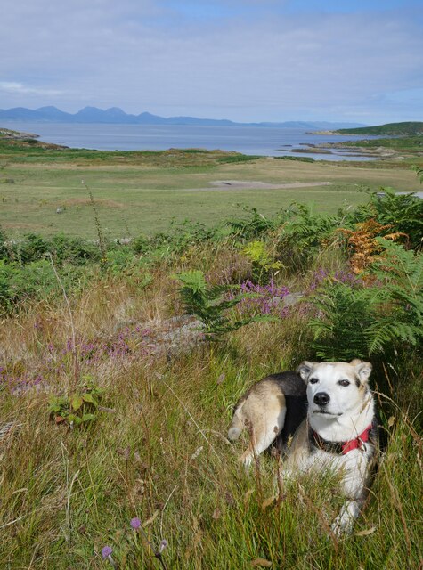
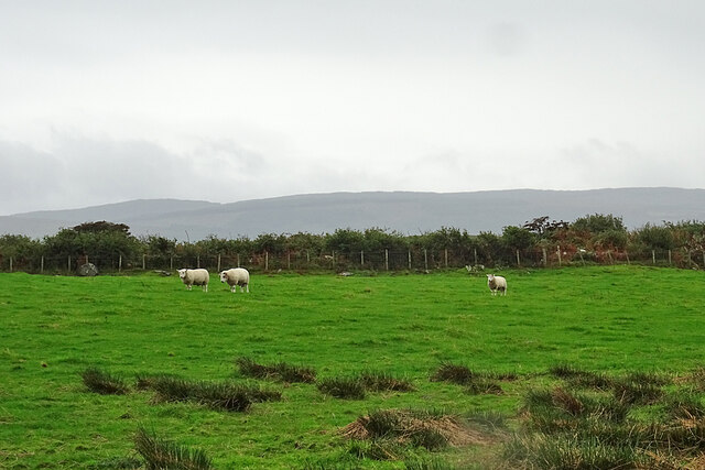
Covering an area of approximately 6 hectares, Sgeir Charrach is a haven for various species of seabirds. It is particularly known as a breeding ground for black-legged kittiwakes, guillemots, and razorbills. The surrounding waters are also rich in marine life, attracting seals and otters.

Access to Sgeir Charrach is limited due to its remote location and lack of any permanent infrastructure. However, the island has become a popular destination for birdwatchers and wildlife enthusiasts, who can visit via private boat or join organized wildlife tours.

The island's isolation and natural beauty offer a unique experience for visitors seeking tranquility and a chance to observe Scotland's coastal wildlife up close. It's important to note that as an uninhabited island, there are no facilities or services available on Sgeir Charrach, so visitors must come prepared with appropriate equipment and supplies.

Overall, Sgeir Charrach is a stunning and unspoiled island in Argyllshire, offering a glimpse into Scotland's rugged coastal landscape and providing a sanctuary for a variety of seabirds and marine life.

If you have any feedback on the listing, please let us know in the comments section below.

Sgeir Charrach Images

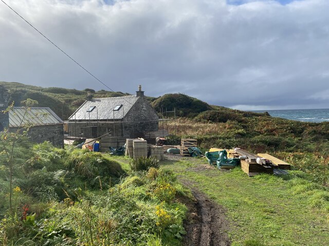
Images are sourced within 2km of 55.703282/-5.7481328 or Grid Reference NR6451. Thanks to Geograph Open Source API. All images are credited.

Heading north on Gigha A view of the 'main road' heading north on Gigha, from a small hillock by Tarbert Farm.

This photograph was taken during the Coronavirus (COVID-19) pandemic of 2020/21.
Heading north on Gigha
A view of the 'main road' heading north on Gigha, from a small hillock by Tarbert Farm. This photograph was taken during the Coronavirus (COVID-19) pandemic of 2020/21.
'Bennie' near Tarbert Farm Upon cycling past Tarbert Farm, 'Bennie' came rushing out of the yard and followed us to where we sat overlooking the north of the island and Jura from a nearby rocky hillock.  Quite content, 'Bennie' spent about an hour with us, seemingly benefiting from the shade as he sat at our feet!  Tarbert Farm, trading as 'Wee Isle Dairy', produces wonderful whole milk and artisan ice cream - see <span class="nowrap"><a title="http://www.gigha.org.uk/Wee-Isle-Dairy" rel="nofollow ugc noopener" href="http://www.gigha.org.uk/Wee-Isle-Dairy">Link</a><img style="margin-left:2px;" alt="External link" title="External link - shift click to open in new window" src="https://s1.geograph.org.uk/img/external.png" width="10" height="10"/></span> for further information.

This photograph was taken during the Coronavirus (COVID-19) pandemic of 2020/21.
'Bennie' near Tarbert Farm
Upon cycling past Tarbert Farm, 'Bennie' came rushing out of the yard and followed us to where we sat overlooking the north of the island and Jura from a nearby rocky hillock. Quite content, 'Bennie' spent about an hour with us, seemingly benefiting from the shade as he sat at our feet! Tarbert Farm, trading as 'Wee Isle Dairy', produces wonderful whole milk and artisan ice cream - see LinkExternal link for further information. This photograph was taken during the Coronavirus (COVID-19) pandemic of 2020/21.
Triangulation pillar and toposcope on Creag Bhàn The trig pillar on Creag Bhàn, the highest point on the Isle of Gigha, sits at 100 metres above sea level, with the summit being just one metre higher.  A toposcope can be seen to the right in the background.  Ben Cruachan could be noted far to the north, and the County Antrim coastline of Northern Ireland, to the south-west.  See <span class="nowrap"><a title="http://trigpointing.uk/trig/2555" rel="nofollow ugc noopener" href="http://trigpointing.uk/trig/2555">Link</a><img style="margin-left:2px;" alt="External link" title="External link - shift click to open in new window" src="https://s1.geograph.org.uk/img/external.png" width="10" height="10"/></span> for further details about this trig point.

This photograph was taken during the Coronavirus (COVID-19) pandemic of 2020/21.
Triangulation pillar and toposcope on Creag Bhàn
The trig pillar on Creag Bhàn, the highest point on the Isle of Gigha, sits at 100 metres above sea level, with the summit being just one metre higher. A toposcope can be seen to the right in the background. Ben Cruachan could be noted far to the north, and the County Antrim coastline of Northern Ireland, to the south-west. See LinkExternal link for further details about this trig point. This photograph was taken during the Coronavirus (COVID-19) pandemic of 2020/21.
Highfield and the eastern coastline of Gigha from Creag Bhàn A view of the eastern coastline of the Isle of Gigha as seen during the descent from Creag Bhàn.  Highfield is the small house to the right of shot.

This photograph was taken during the Coronavirus (COVID-19) pandemic of 2020/21.
Highfield and the eastern coastline of Gigha from Creag Bhàn
A view of the eastern coastline of the Isle of Gigha as seen during the descent from Creag Bhàn. Highfield is the small house to the right of shot. This photograph was taken during the Coronavirus (COVID-19) pandemic of 2020/21.
Descending Creag Bhàn The descent of Creag Bhàn offers a fine view over the south and west of the Isle of Gigha, and a distant Islay.  In this view, Ardailly can be noted, with the covered Gigha service reservoir below.  Mill Loch and High Loch can be noted to the left in the near and far distance, respectively.

This photograph was taken during the Coronavirus (COVID-19) pandemic of 2020/21.
Descending Creag Bhàn
The descent of Creag Bhàn offers a fine view over the south and west of the Isle of Gigha, and a distant Islay. In this view, Ardailly can be noted, with the covered Gigha service reservoir below. Mill Loch and High Loch can be noted to the left in the near and far distance, respectively. This photograph was taken during the Coronavirus (COVID-19) pandemic of 2020/21.
Ardailly Mill and miller's cottage At the far end of a long and winding track on the Isle of Gigha stands Ardailly  Mill. It's in an idyllic spot on Gigha's remote west shore, looking out to the neighbouring islands of Islay and Jura. In this photograph it is seen with building works under way, transforming the old millers cottage into someone's dream house.....
Ardailly Mill and miller's cottage
At the far end of a long and winding track on the Isle of Gigha stands Ardailly Mill. It's in an idyllic spot on Gigha's remote west shore, looking out to the neighbouring islands of Islay and Jura. In this photograph it is seen with building works under way, transforming the old millers cottage into someone's dream house.....
Carragh an Tarbert A distinctive standing stone beside the road at Tarbert on the Isle of Gigha. It is also known as the Druids' Stone, and A Thom, author of 'The standing stones in Argyllshire' and 'Megalithic lunar observatories', considers it to be a lunar obervatory dating from the 1st millennium BC.
Carragh an Tarbert
A distinctive standing stone beside the road at Tarbert on the Isle of Gigha. It is also known as the Druids' Stone, and A Thom, author of 'The standing stones in Argyllshire' and 'Megalithic lunar observatories', considers it to be a lunar obervatory dating from the 1st millennium BC.
East Tarbert Bay In the bay are an offshore fish farm. The ship seems to have been there for at least several days.
East Tarbert Bay
In the bay are an offshore fish farm. The ship seems to have been there for at least several days.
Looking over Tràigh Bhàn If the tide were not so high, the white sand that gives the beach its name would be visible here. The hummock is Cnoc Largie, in the next square.
Looking over Tràigh Bhàn
If the tide were not so high, the white sand that gives the beach its name would be visible here. The hummock is Cnoc Largie, in the next square.
Tarbert Farm The farm houses and steading are set back a little from the road.
Tarbert Farm
The farm houses and steading are set back a little from the road.
Druimyeon More Farm The name of this farm by the roadside is curious. The spelling is not Gaelic; perhaps it's a mangled version of Druim an Eoin Mòr 'The ridge of the big bird'?
Druimyeon More Farm
The name of this farm by the roadside is curious. The spelling is not Gaelic; perhaps it's a mangled version of Druim an Eoin Mòr 'The ridge of the big bird'?
Bedraggled Sheep Even the sheep look a bit dispirited on this horrible wet day.
Bedraggled Sheep
Even the sheep look a bit dispirited on this horrible wet day.
Grassland near Ardailly Looking towards the west coast of Gigha and beyond to the Paps of Jura. Just visible (towards the left) are the gables of the ruined old water mill at Port An Duin, which dates from the 18th century.
Grassland near Ardailly
Looking towards the west coast of Gigha and beyond to the Paps of Jura. Just visible (towards the left) are the gables of the ruined old water mill at Port An Duin, which dates from the 18th century.
Looking towards the Paps of Jura From near Ardailly on the west coast of Gigha.
Looking towards the Paps of Jura
From near Ardailly on the west coast of Gigha.
Approaching Rain at Creag Bhan, Gigha
Gigha trig point at Creag Bhan
North east view from Gigha trig point
East view from Gigha trig point
Show me another place!

Sgeir Charrach is located at Grid Ref: NR6451 (Lat: 55.703282, Lng: -5.7481328)

Unitary Authority: Argyll and Bute

Police Authority: Argyll and West Dunbartonshire

What 3 Words

///thrones.footpath.tungsten. Near Craighouse, Argyll & Bute

Related Wikis

Gigha

Gigha (; Scottish Gaelic: Giogha; Scots: Gigha) or the Isle of Gigha (and formerly Gigha Island) is an island off the west coast of Kintyre in Scotland...

Kilchattan Chapel

Kilchattan Chapel (St Cathan's Chapel) is a ruined medieval chapel near Ardminish, Isle of Gigha, Argyll and Bute, Scotland. Built in the 13th century...

Sound of Gigha

The Sound of Gigha is a sound between the Inner Hebridean Isle of Gigha and Kintyre. It forms part of the Atlantic Ocean. == External links ==

Achamore House

Achamore House is a mansion on the Isle of Gigha, Scotland. It was built in 1884 for Lt-Col William James Scarlett, and the extensive gardens were laid...

Nearby Amenities

Located within 500m of 55.703282,-5.7481328
Created By: dmgroom_coastlines
Lat/Long: 55.701568/-5.747874
Created By: dmgroom_coastlines
Lat/Long: 55.702257/-5.74754
Created By: dmgroom_coastlines
Lat/Long: 55.702523/-5.747105
Created By: dmgroom_coastlines
Lat/Long: 55.7025096/-5.7468067
Created By: dmgroom_coastlines
Lat/Long: 55.7042694/-5.7470234
Created By: dmgroom_coastlines
Lat/Long: 55.704841/-5.746586
Created By: dmgroom_coastlines
Lat/Long: 55.705096/-5.746604
Created By: dmgroom_coastlines
Lat/Long: 55.705183/-5.748425
Created By: dmgroom_coastlines
Lat/Long: 55.705306/-5.748662
Created By: dmgroom_coastlines
Lat/Long: 55.705818/-5.748698
Created By: dmgroom_coastlines
Lat/Long: 55.706596/-5.748298
Created By: dmgroom_coastlines
Lat/Long: 55.707373/-5.747899
Created By: dmgroom_coastlines
Lat/Long: 55.707639/-5.747464
Kartli
Historic: wreck
Seamark Type: wreck
Source: https://www.geograph.org.uk/photo/6468526
Wreck Date Sunk: 1991
Lat/Long: 55.7035256/-5.7494991
The data included in this document is from www.openstreetmap.org. The data is made available under ODbL.

Have you been to Sgeir Charrach?

Leave your review of Sgeir Charrach below (or comments, questions and feedback).