Port Bàn nam Marbh

Sea, Estuary, Creek in Argyllshire

Scotland

Port Bàn nam Marbh

Descending Creag Bhàn The descent of Creag Bhàn offers a fine view over the south and west of the Isle of Gigha, and a distant Islay.  In this view, Ardailly can be noted, with the covered Gigha service reservoir below.  Mill Loch and High Loch can be noted to the left in the near and far distance, respectively.

This photograph was taken during the Coronavirus (COVID-19) pandemic of 2020/21.
Descending Creag Bhàn Credit: James T M Towill

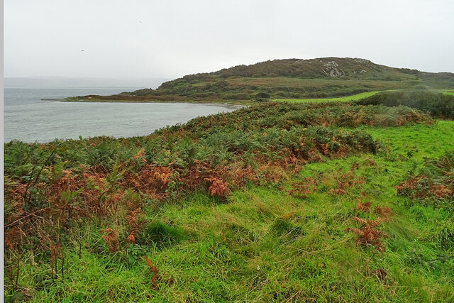
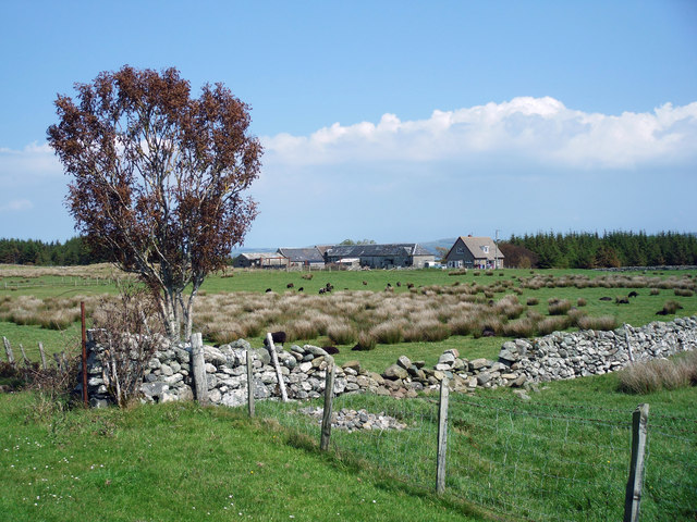
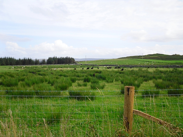
Port Bàn nam Marbh is a picturesque coastal area located in Argyllshire, Scotland. Situated along the western coast, it is renowned for its stunning sea views, estuary, and creek. The name "Port Bàn nam Marbh" translates to "White Port of the Dead" in Gaelic, giving it an air of mystique and intrigue.

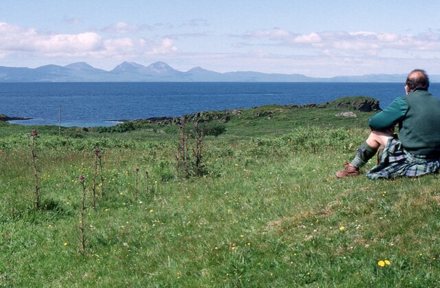
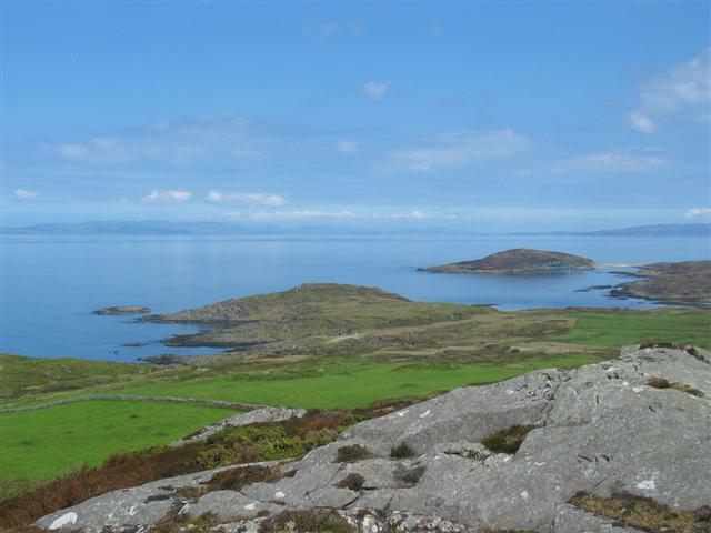
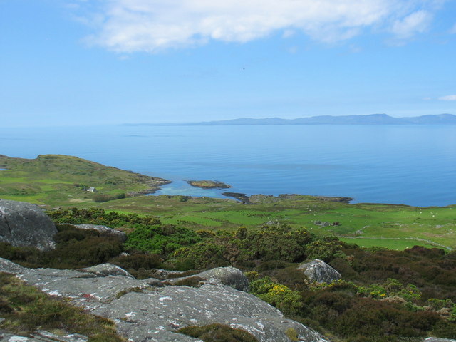
The sea at Port Bàn nam Marbh is a prominent feature, offering breathtaking panoramic vistas of the surrounding landscape. The crystal-clear waters are a haven for marine life, attracting divers and snorkelers who are eager to explore the underwater world. The sea is also ideal for water sports such as surfing, kayaking, and sailing, drawing enthusiasts from near and far.

Adjacent to the sea is the estuary, a unique and biodiverse ecosystem. Filled with a variety of plant and animal species, it serves as an important breeding ground for numerous bird species. Birdwatchers flock to the area to catch a glimpse of rare and migratory birds that call the estuary home.

A tranquil creek meanders through Port Bàn nam Marbh, providing a peaceful retreat for visitors. Surrounded by lush greenery and teeming with wildlife, it is a serene spot that is perfect for nature enthusiasts and those seeking solitude.

Overall, Port Bàn nam Marbh in Argyllshire offers a captivating blend of sea, estuary, and creek. Its natural beauty, diverse wildlife, and recreational opportunities make it a sought-after destination for those looking to immerse themselves in the splendor of Scotland's coastal scenery.

If you have any feedback on the listing, please let us know in the comments section below.

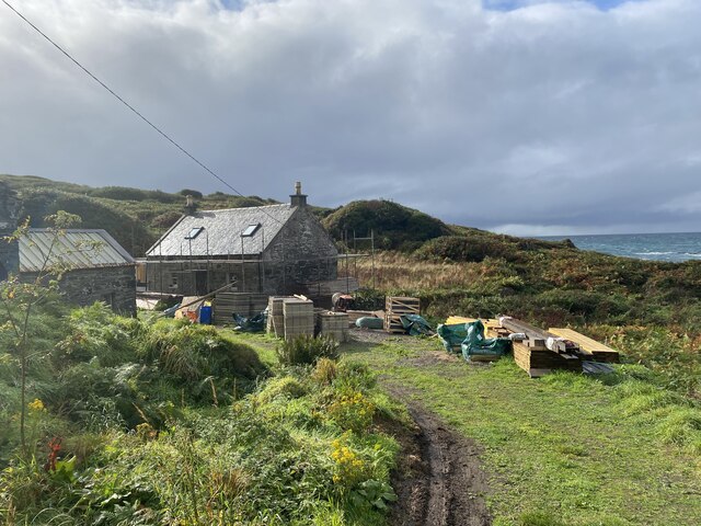
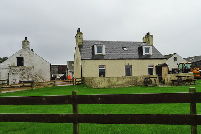
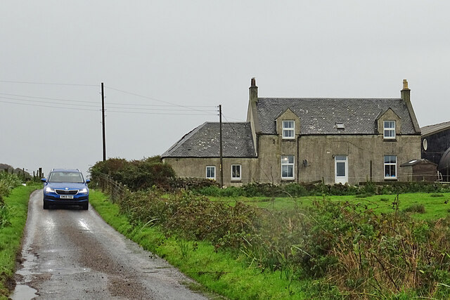
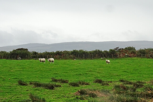
Port Bàn nam Marbh Images

Images are sourced within 2km of 55.701223/-5.7481107 or Grid Reference NR6451. Thanks to Geograph Open Source API. All images are credited.

Descending Creag Bhàn The descent of Creag Bhàn offers a fine view over the south and west of the Isle of Gigha, and a distant Islay.  In this view, Ardailly can be noted, with the covered Gigha service reservoir below.  Mill Loch and High Loch can be noted to the left in the near and far distance, respectively.

This photograph was taken during the Coronavirus (COVID-19) pandemic of 2020/21.
Descending Creag Bhàn
The descent of Creag Bhàn offers a fine view over the south and west of the Isle of Gigha, and a distant Islay. In this view, Ardailly can be noted, with the covered Gigha service reservoir below. Mill Loch and High Loch can be noted to the left in the near and far distance, respectively. This photograph was taken during the Coronavirus (COVID-19) pandemic of 2020/21.
Ardailly Mill and miller's cottage At the far end of a long and winding track on the Isle of Gigha stands Ardailly  Mill. It's in an idyllic spot on Gigha's remote west shore, looking out to the neighbouring islands of Islay and Jura. In this photograph it is seen with building works under way, transforming the old millers cottage into someone's dream house.....
Ardailly Mill and miller's cottage
At the far end of a long and winding track on the Isle of Gigha stands Ardailly Mill. It's in an idyllic spot on Gigha's remote west shore, looking out to the neighbouring islands of Islay and Jura. In this photograph it is seen with building works under way, transforming the old millers cottage into someone's dream house.....
Carragh an Tarbert A distinctive standing stone beside the road at Tarbert on the Isle of Gigha. It is also known as the Druids' Stone, and A Thom, author of 'The standing stones in Argyllshire' and 'Megalithic lunar observatories', considers it to be a lunar obervatory dating from the 1st millennium BC.
Carragh an Tarbert
A distinctive standing stone beside the road at Tarbert on the Isle of Gigha. It is also known as the Druids' Stone, and A Thom, author of 'The standing stones in Argyllshire' and 'Megalithic lunar observatories', considers it to be a lunar obervatory dating from the 1st millennium BC.
East Tarbert Bay In the bay are an offshore fish farm. The ship seems to have been there for at least several days.
East Tarbert Bay
In the bay are an offshore fish farm. The ship seems to have been there for at least several days.
Looking over Tràigh Bhàn If the tide were not so high, the white sand that gives the beach its name would be visible here. The hummock is Cnoc Largie, in the next square.
Looking over Tràigh Bhàn
If the tide were not so high, the white sand that gives the beach its name would be visible here. The hummock is Cnoc Largie, in the next square.
Tarbert Farm The farm houses and steading are set back a little from the road.
Tarbert Farm
The farm houses and steading are set back a little from the road.
Druimyeon More Farm The name of this farm by the roadside is curious. The spelling is not Gaelic; perhaps it's a mangled version of Druim an Eoin Mòr 'The ridge of the big bird'?
Druimyeon More Farm
The name of this farm by the roadside is curious. The spelling is not Gaelic; perhaps it's a mangled version of Druim an Eoin Mòr 'The ridge of the big bird'?
Bedraggled Sheep Even the sheep look a bit dispirited on this horrible wet day.
Bedraggled Sheep
Even the sheep look a bit dispirited on this horrible wet day.
Grassland near Ardailly Looking towards the west coast of Gigha and beyond to the Paps of Jura. Just visible (towards the left) are the gables of the ruined old water mill at Port An Duin, which dates from the 18th century.
Grassland near Ardailly
Looking towards the west coast of Gigha and beyond to the Paps of Jura. Just visible (towards the left) are the gables of the ruined old water mill at Port An Duin, which dates from the 18th century.
Looking towards the Paps of Jura From near Ardailly on the west coast of Gigha.
Looking towards the Paps of Jura
From near Ardailly on the west coast of Gigha.
Approaching Rain at Creag Bhan, Gigha
Gigha trig point at Creag Bhan
North east view from Gigha trig point
East view from Gigha trig point
North view from Gigha trig point
West view from Gigha trig point
Kinerarach, Gigha North Gighan farmstead
Kinerarach, Gigha
North Gighan farmstead
Black sheep in a rushy field View from the main road at Kinerarach.
Black sheep in a rushy field
View from the main road at Kinerarach.
Show me another place!

Port Bàn nam Marbh is located at Grid Ref: NR6451 (Lat: 55.701223, Lng: -5.7481107)

Unitary Authority: Argyll and Bute

Police Authority: Argyll and West Dunbartonshire

What 3 Words

///heartened.recorders.gossiped. Near Craighouse, Argyll & Bute

Related Wikis

Gigha

Gigha (; Scottish Gaelic: Giogha; Scots: Gigha) or the Isle of Gigha (and formerly Gigha Island) is an island off the west coast of Kintyre in Scotland...

Kilchattan Chapel

Kilchattan Chapel (St Cathan's Chapel) is a ruined medieval chapel near Ardminish, Isle of Gigha, Argyll and Bute, Scotland. Built in the 13th century...

Achamore House

Achamore House is a mansion on the Isle of Gigha, Scotland. It was built in 1884 for Lt-Col William James Scarlett, and the extensive gardens were laid...

Sound of Gigha

The Sound of Gigha is a sound between the Inner Hebridean Isle of Gigha and Kintyre. It forms part of the Atlantic Ocean. == External links ==

Nearby Amenities

Located within 500m of 55.701223,-5.7481107
Created By: dmgroom_coastlines
Lat/Long: 55.701568/-5.747874
Created By: dmgroom_coastlines
Lat/Long: 55.702257/-5.74754
Created By: dmgroom_coastlines
Lat/Long: 55.702523/-5.747105
Created By: dmgroom_coastlines
Lat/Long: 55.7025096/-5.7468067
Created By: dmgroom_coastlines
Lat/Long: 55.7042694/-5.7470234
Created By: dmgroom_coastlines
Lat/Long: 55.704841/-5.746586
Created By: dmgroom_coastlines
Lat/Long: 55.705096/-5.746604
Created By: dmgroom_coastlines
Lat/Long: 55.705183/-5.748425
Created By: dmgroom_coastlines
Lat/Long: 55.705306/-5.748662
Kartli
Historic: wreck
Seamark Type: wreck
Source: https://www.geograph.org.uk/photo/6468526
Wreck Date Sunk: 1991
Lat/Long: 55.7035256/-5.7494991
The data included in this document is from www.openstreetmap.org. The data is made available under ODbL.

Have you been to Port Bàn nam Marbh?

Leave your review of Port Bàn nam Marbh below (or comments, questions and feedback).