Ramraga
Island in Ross-shire
Scotland
Ramraga
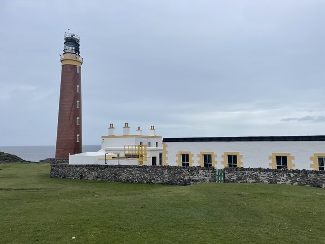
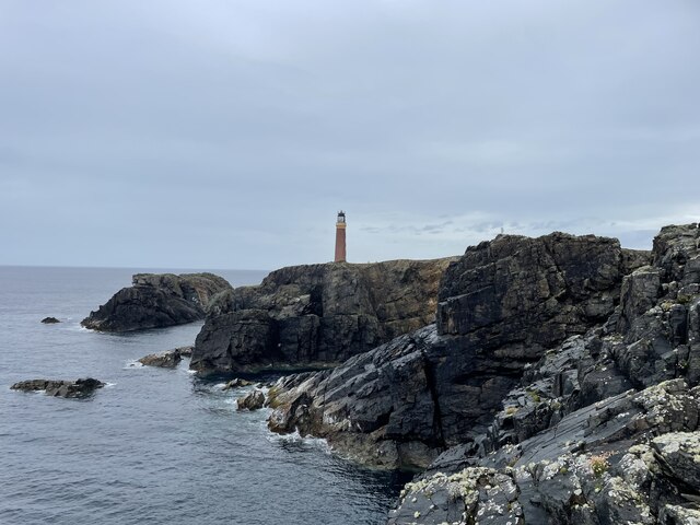
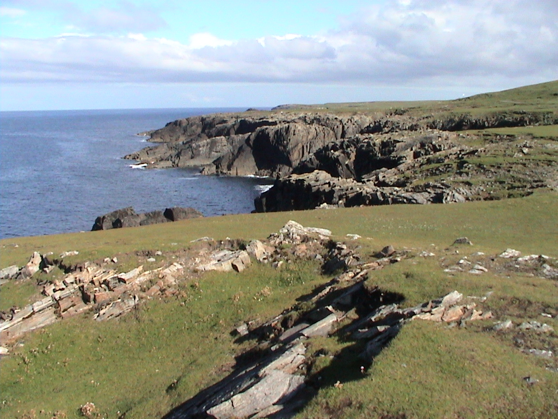
Ramraga is a small island located in Ross-shire, a historic county in the Scottish Highlands. Situated off the northwest coast of Scotland, Ramraga is part of the Inner Hebrides archipelago. The island spans approximately 1 square kilometer and is mostly characterized by rugged, rocky terrain and a sparse population.
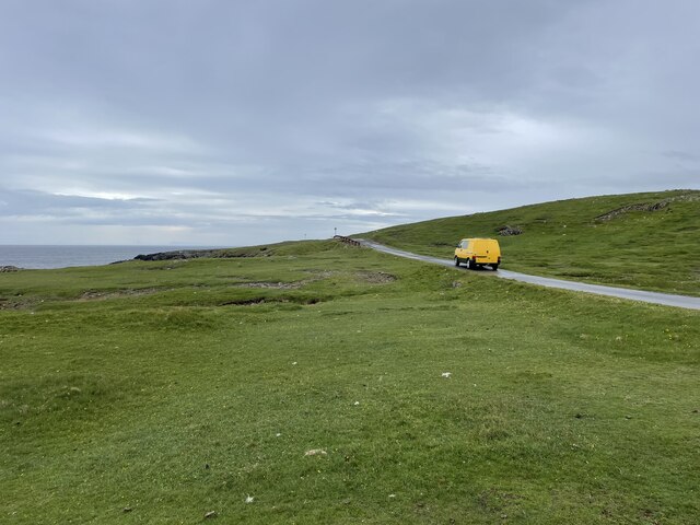
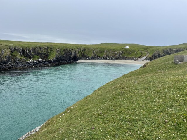
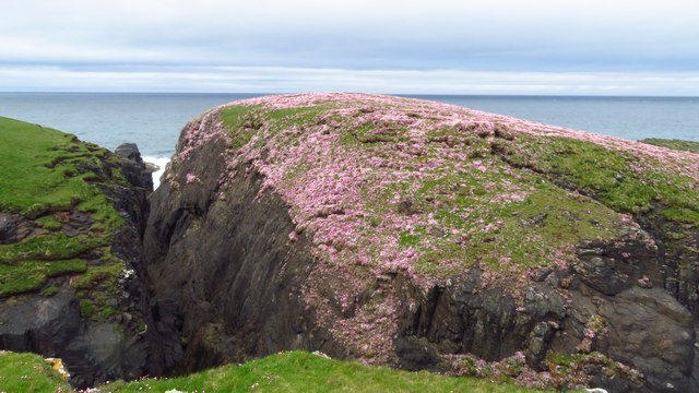
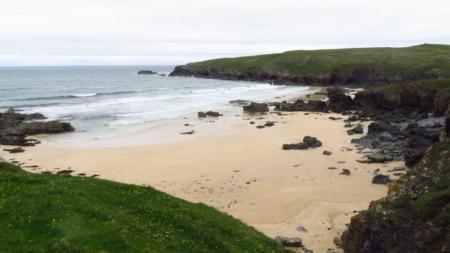
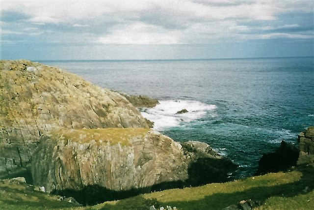
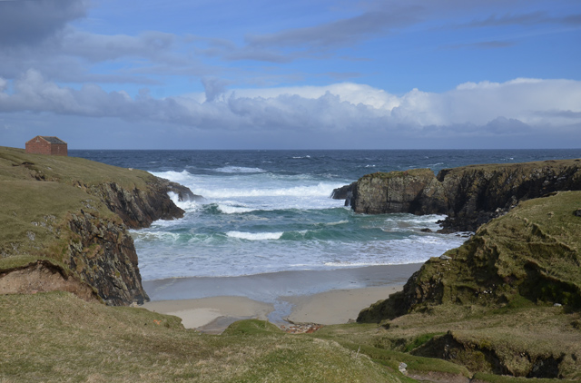
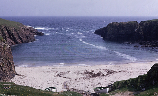
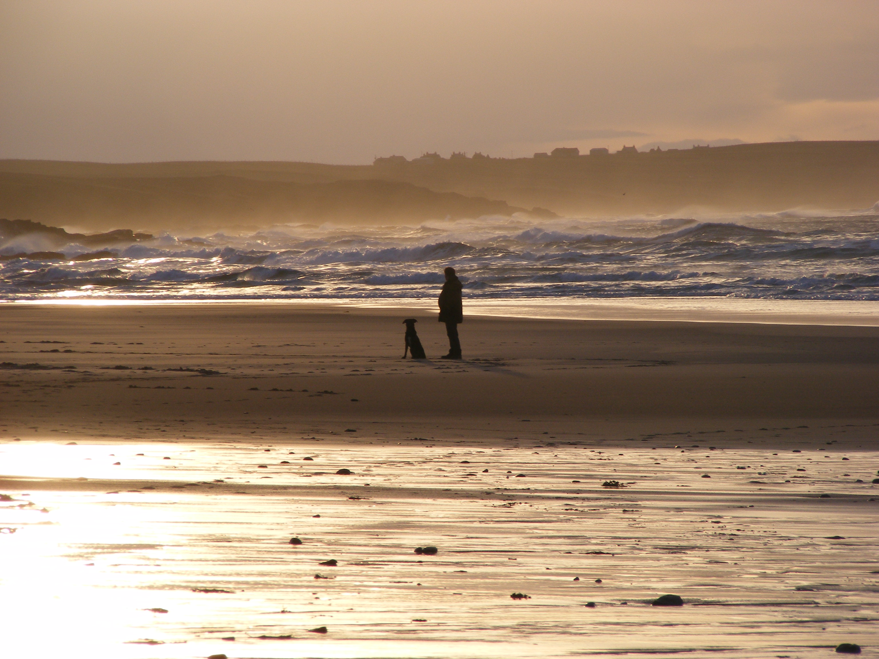
With its remote and secluded location, Ramraga offers a peaceful and untouched natural environment. The island is surrounded by the clear waters of the Atlantic Ocean, providing stunning views and opportunities for fishing and water activities. The coastline is dotted with small coves and cliffs, adding to the island's rugged charm.
Ramraga is home to a diverse range of wildlife, including various species of seabirds, seals, and occasionally dolphins and whales. The island's flora is mostly comprised of hardy grasses and shrubs, as the rocky soil limits vegetation growth.
Due to its small size and lack of permanent residents, Ramraga does not have any infrastructure or amenities. However, it is accessible by boat from nearby mainland ports, allowing visitors to explore the island's natural beauty and enjoy the tranquility it offers.
Ramraga is a hidden gem for nature enthusiasts and those seeking a peaceful escape from the bustling mainland. Its untouched landscapes and abundant wildlife make it an ideal destination for individuals looking to immerse themselves in the rugged beauty of the Scottish Highlands.
If you have any feedback on the listing, please let us know in the comments section below.
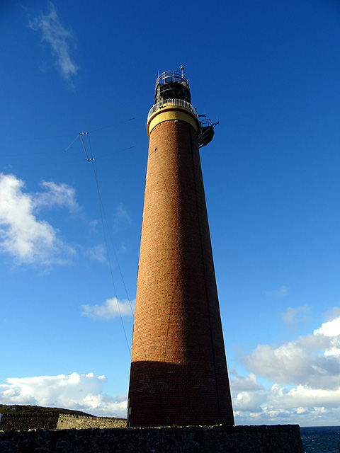
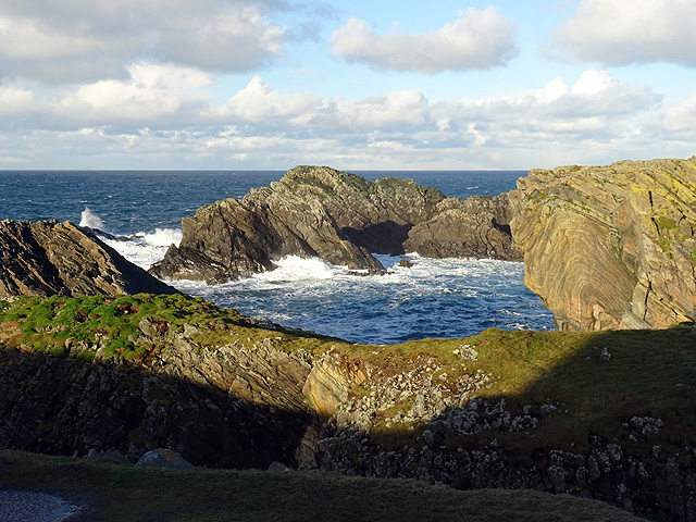
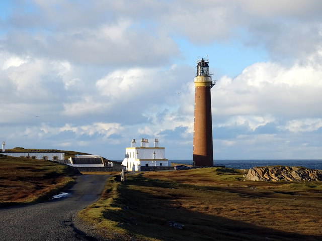
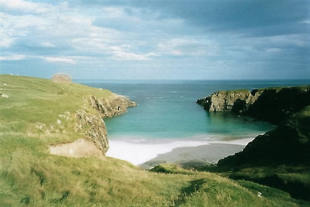
Ramraga Images
Images are sourced within 2km of 58.515949/-6.2630447 or Grid Reference NB5166. Thanks to Geograph Open Source API. All images are credited.


Ramraga is located at Grid Ref: NB5166 (Lat: 58.515949, Lng: -6.2630447)
Unitary Authority: Na h-Eileanan an Iar
Police Authority: Highlands and Islands
What 3 Words
///lentil.opts.hedgehog. Near North Tolsta, Na h-Eileanan Siar
Nearby Locations
Related Wikis
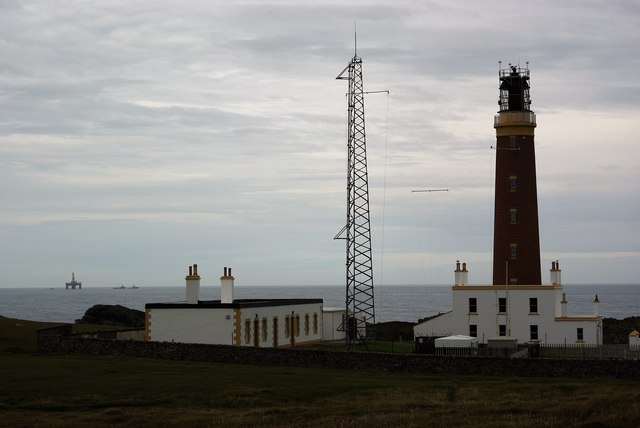
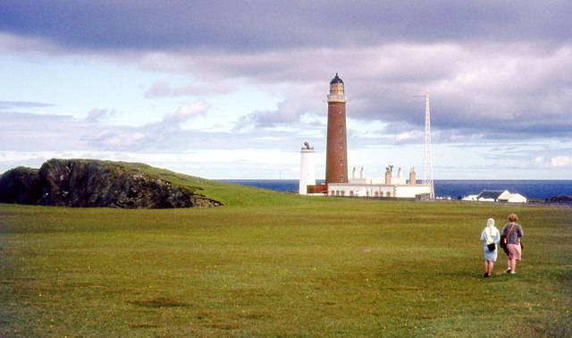
Butt of Lewis
The Butt of Lewis (Scottish Gaelic: Rubha Robhanais) is the most northerly point of Lewis in the Outer Hebrides. The headland, which lies in the North...
Port Stoth
Port Stoth, known locally as Stoth and pronounced Stow, is a sheltered inlet just southeast of the Butt of Lewis in the Outer Hebrides, Scotland. It is...

Teampall Mholuaidh
St Moluag's church (Scottish Gaelic: Teampall Mholuaidh) is a church in the village of Eoropie in Ness in the Isle of Lewis in Scotland. It is one of the...
Eoropie
Eoropie (Scottish Gaelic: Eòrapaidh) is the most northerly village on the Isle of Lewis in the parish of Ness, in the Outer Hebrides, Scotland. Eoropie...
Nearby Amenities
Located within 500m of 58.515949,-6.2630447Have you been to Ramraga?
Leave your review of Ramraga below (or comments, questions and feedback).