Carspag
Island in Ross-shire
Scotland
Carspag
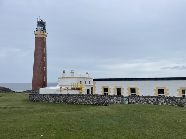
Carspag is a small island located off the coast of Ross-shire in the Scottish Highlands. With a total land area of approximately 1 square kilometer, it is known for its stunning natural beauty and rich cultural heritage. The island is accessible via boat from the nearby mainland.
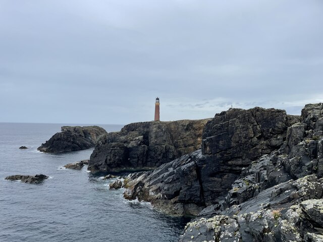
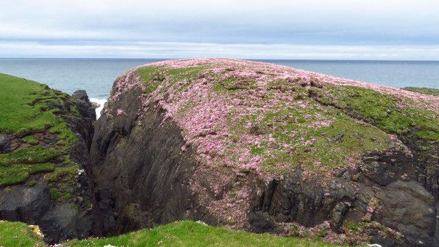
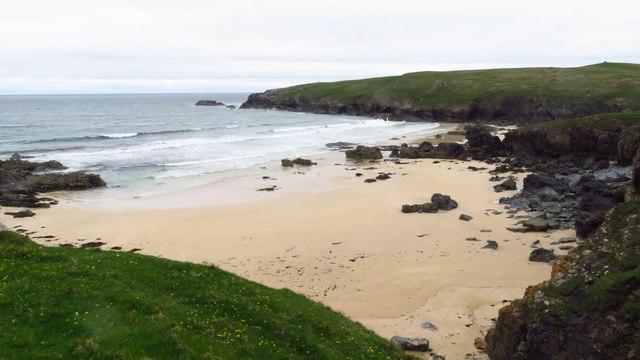
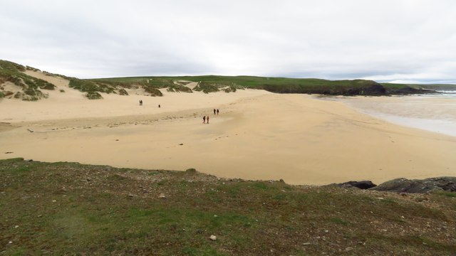
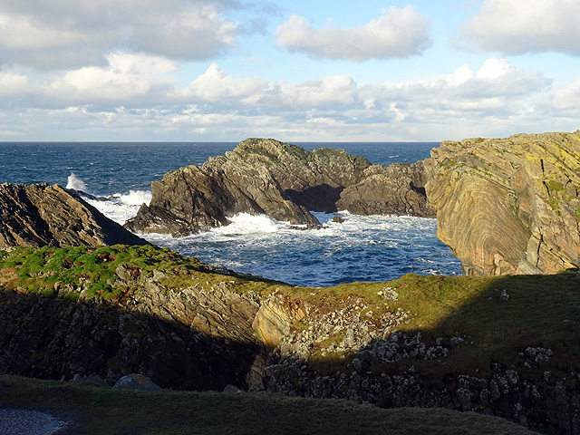
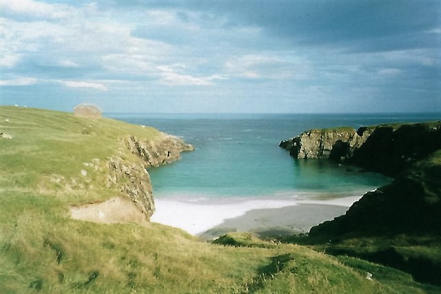
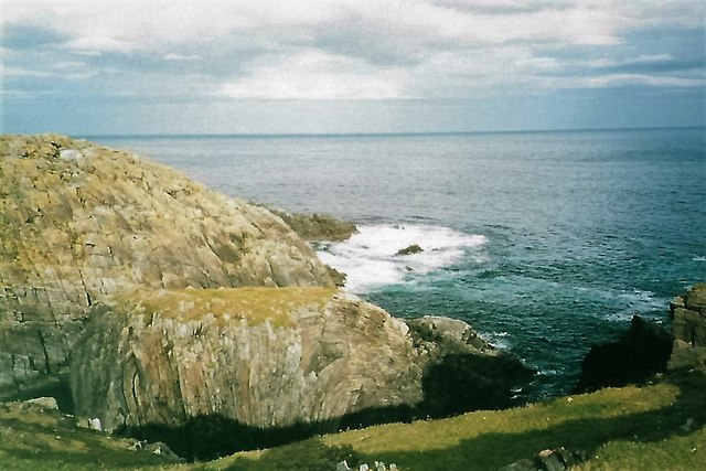
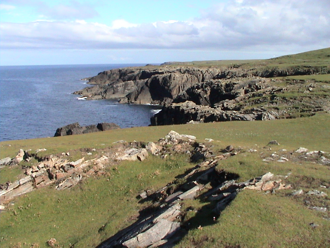
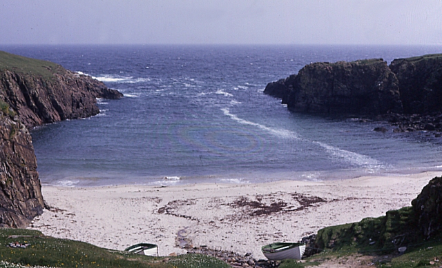
Carspag boasts a diverse range of flora and fauna, making it a popular destination for nature enthusiasts. The island is home to various bird species, including puffins, guillemots, and kittiwakes. Its rugged coastline is dotted with towering cliffs, providing breathtaking views of the surrounding sea and distant mountains.
The island also holds historical significance, with evidence of human settlement dating back thousands of years. Archaeological sites, such as ancient burial mounds and stone circles, offer a glimpse into the island's past. Visitors can explore these landmarks and learn about the island's fascinating history.
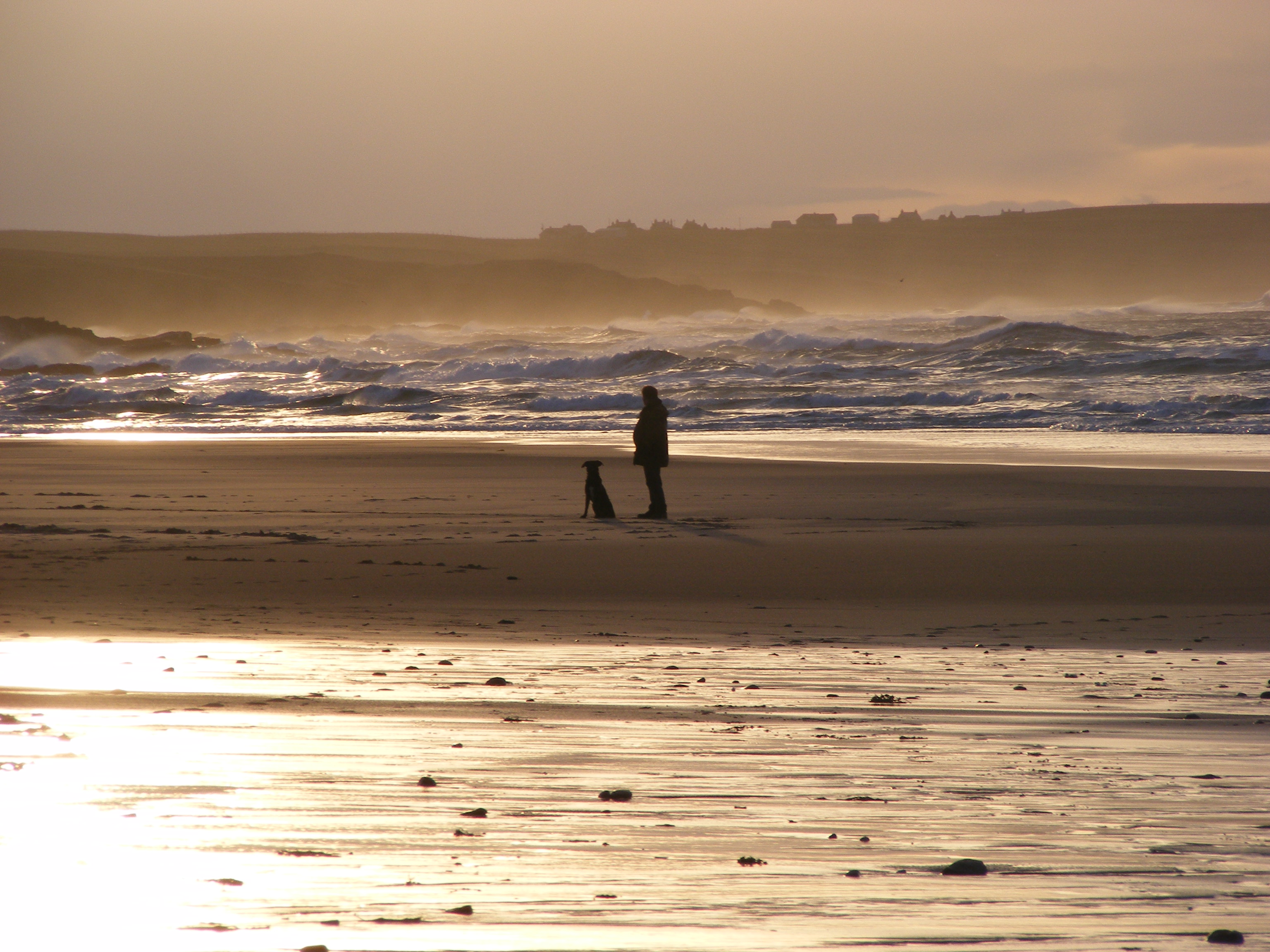
Although Carspag is primarily a natural and historical attraction, there are limited amenities on the island. There are no permanent residents or commercial establishments, making it an ideal destination for those seeking solitude and an escape from the hustle and bustle of city life. Camping facilities are available for those wishing to spend the night on the island, allowing for a truly immersive experience in nature.
Overall, Carspag is a captivating island that offers a serene environment, stunning landscapes, and a glimpse into the past. Its remote location and natural beauty make it a hidden gem for visitors looking to explore the Ross-shire region.
If you have any feedback on the listing, please let us know in the comments section below.
Carspag Images
Images are sourced within 2km of 58.514705/-6.2723116 or Grid Reference NB5166. Thanks to Geograph Open Source API. All images are credited.


Carspag is located at Grid Ref: NB5166 (Lat: 58.514705, Lng: -6.2723116)
Unitary Authority: Na h-Eileanan an Iar
Police Authority: Highlands and Islands
What 3 Words
///cutlets.acids.fairly. Near North Tolsta, Na h-Eileanan Siar
Nearby Locations
Related Wikis
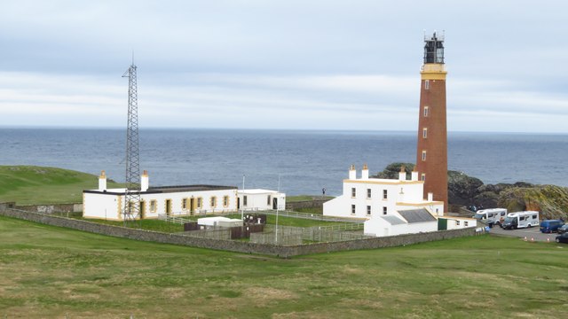
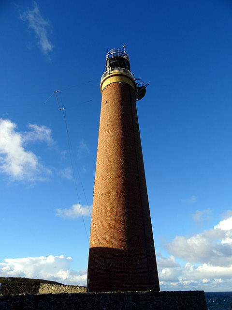
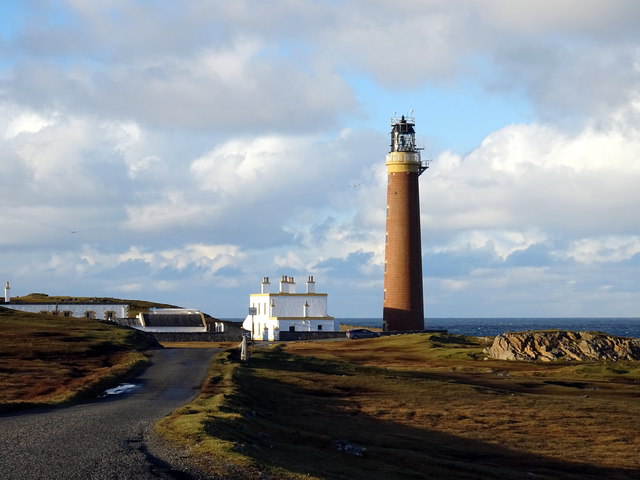
Butt of Lewis
The Butt of Lewis (Scottish Gaelic: Rubha Robhanais) is the most northerly point of Lewis in the Outer Hebrides. The headland, which lies in the North...
Port Stoth
Port Stoth, known locally as Stoth and pronounced Stow, is a sheltered inlet just southeast of the Butt of Lewis in the Outer Hebrides, Scotland. It is...
Eoropie
Eoropie (Scottish Gaelic: Eòrapaidh) is the most northerly village on the Isle of Lewis in the parish of Ness, in the Outer Hebrides, Scotland. Eoropie...

Teampall Mholuaidh
St Moluag's church (Scottish Gaelic: Teampall Mholuaidh) is a church in the village of Eoropie in Ness in the Isle of Lewis in Scotland. It is one of the...
Nearby Amenities
Located within 500m of 58.514705,-6.2723116Have you been to Carspag?
Leave your review of Carspag below (or comments, questions and feedback).