Sgeir nam Faoileann

Island in Inverness-shire

Scotland

Sgeir nam Faoileann

"I like that boulder, that is a nice boulder" In the rugged embrace of nature's grip, a massive boulder stands proud, defying the raging sea below. It conjures thoughts of an ass named Donkey, complimenting Shrek's house, saying, "I like that boulder, that is a nice boulder." Perched perilously atop the ancient sea cliffs, it hints at an enduring existence since the glacier's ancient retreat. Gazing into the horizon, Staffin Island and the Òb nan Ròn harbour emerge, distant yet ever-present.
"I like that boulder, that is a nice boulder" Credit: Mick Garratt

Sgeir nam Faoileann, also known as Skerry of the Seagulls, is a small uninhabited island located off the coast of Inverness-shire, Scotland. Situated in the Inner Hebrides, this island holds significant natural and historical importance.

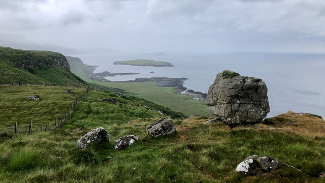
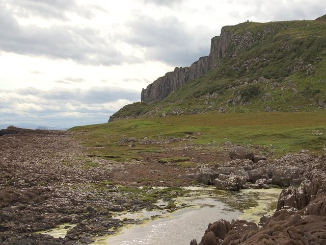
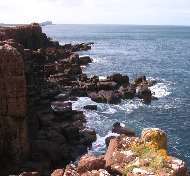
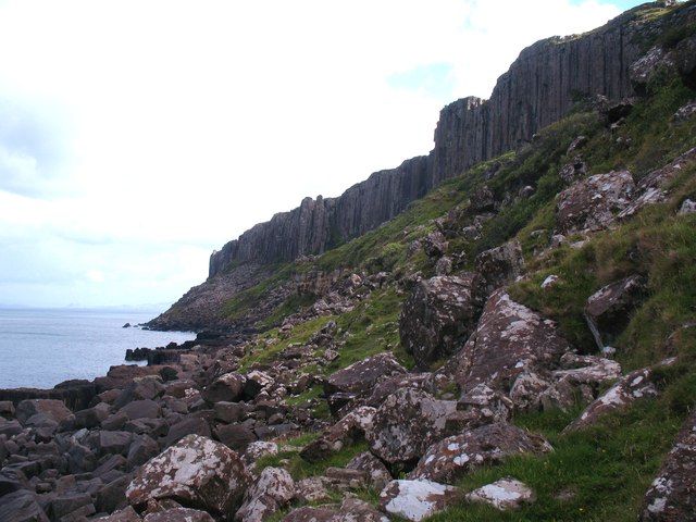
Covering an area of approximately 0.04 hectares, Sgeir nam Faoileann is a rocky outcrop that rises about 15 meters above sea level. It is characterized by its jagged cliffs, which provide nesting grounds for various seabird species, including seagulls, fulmars, and kittiwakes. The island's name, reflecting its abundant bird population, translates to "Skerry of the Seagulls" in English.

In addition to its ecological significance, Sgeir nam Faoileann has historical importance. It has been noted as a traditional fishing ground for local communities, particularly for catching lobsters and crabs. The island also holds cultural value, as it is often depicted in local artwork and literature, serving as a symbol of the rugged beauty of the Scottish coastline.

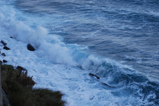
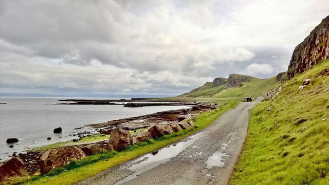
Access to Sgeir nam Faoileann is primarily by boat, with several tour operators offering trips to explore the island and its wildlife. Due to its small size, visitors are advised to tread carefully and respect the fragile ecosystem. The surrounding waters are also popular for diving and snorkeling, providing opportunities to explore the underwater scenery and marine life.

Overall, Sgeir nam Faoileann is a picturesque and ecologically significant island, offering visitors a chance to immerse themselves in the natural beauty of the Scottish coast while observing a variety of seabird species in their natural habitat.

If you have any feedback on the listing, please let us know in the comments section below.

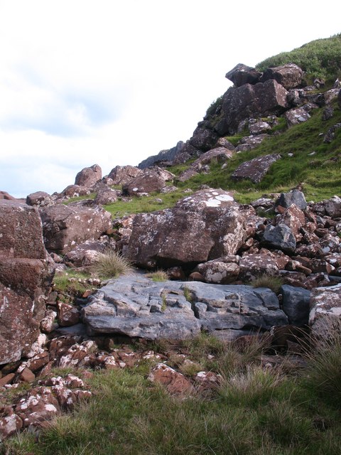
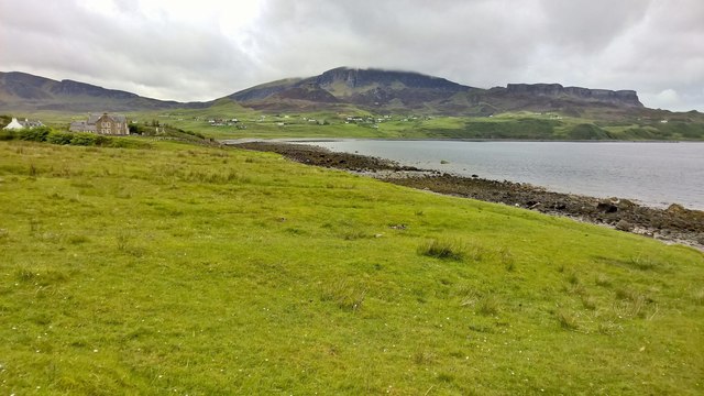
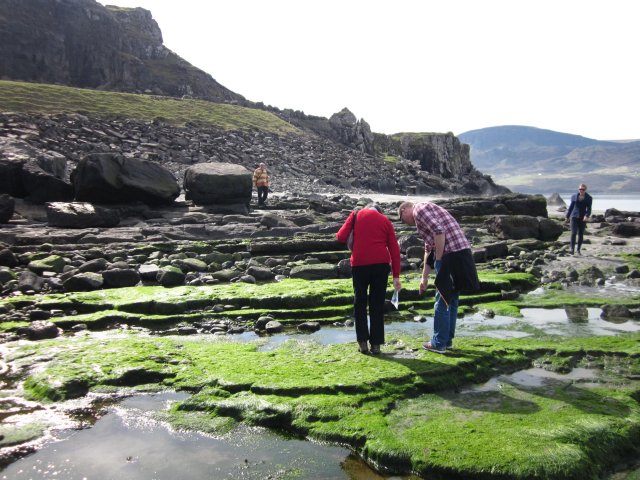
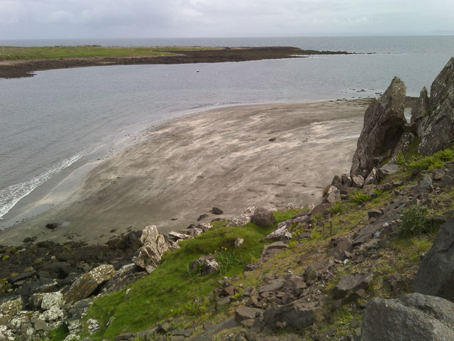
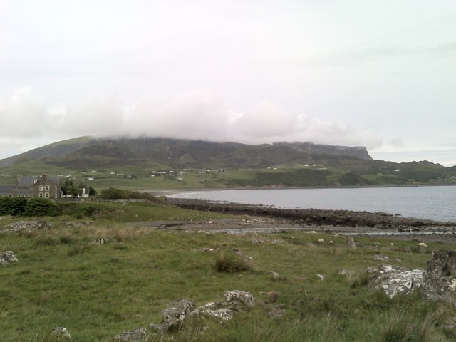
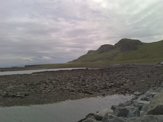
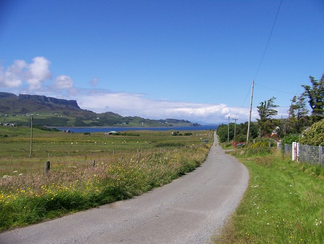
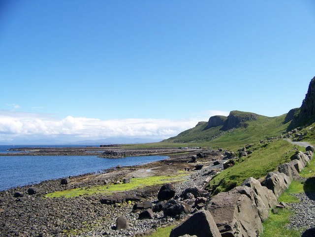
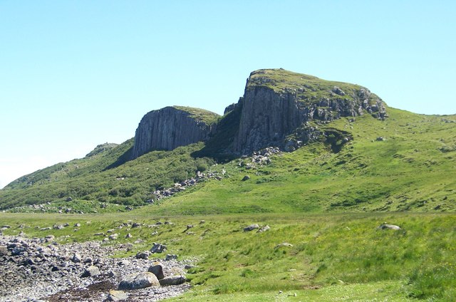
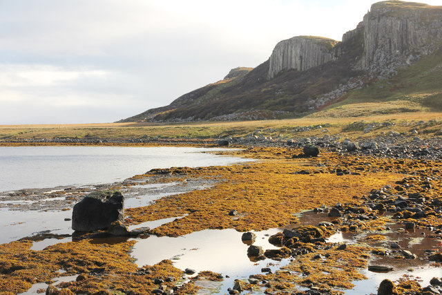
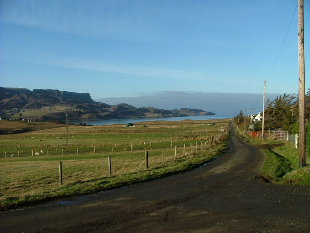
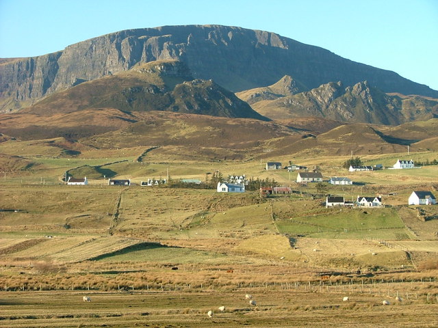
Sgeir nam Faoileann Images

Images are sourced within 2km of 57.635644/-6.1963173 or Grid Reference NG4968. Thanks to Geograph Open Source API. All images are credited.

"I like that boulder, that is a nice boulder" In the rugged embrace of nature's grip, a massive boulder stands proud, defying the raging sea below. It conjures thoughts of an ass named Donkey, complimenting Shrek's house, saying, "I like that boulder, that is a nice boulder." Perched perilously atop the ancient sea cliffs, it hints at an enduring existence since the glacier's ancient retreat. Gazing into the horizon, Staffin Island and the Òb nan Ròn harbour emerge, distant yet ever-present.
"I like that boulder, that is a nice boulder"
In the rugged embrace of nature's grip, a massive boulder stands proud, defying the raging sea below. It conjures thoughts of an ass named Donkey, complimenting Shrek's house, saying, "I like that boulder, that is a nice boulder." Perched perilously atop the ancient sea cliffs, it hints at an enduring existence since the glacier's ancient retreat. Gazing into the horizon, Staffin Island and the Òb nan Ròn harbour emerge, distant yet ever-present.
Coastline east of Garrafad Raised beach below the northern end of the famous Kilt Rock.
Coastline east of Garrafad
Raised beach below the northern end of the famous Kilt Rock.
Foam and Spume North of Kilt Rock the waves were crashing under the cliffs.
Foam and Spume
North of Kilt Rock the waves were crashing under the cliffs.
Rocky coastline A coastline of low cliffs and jointed strata south of Rubha Garbhaig.
Rocky coastline
A coastline of low cliffs and jointed strata south of Rubha Garbhaig.
Rocks of different ages The large grey slab is an exposure of Jurassic rock which underlies this area, whilst the boulders above are at least 100 million years younger, being dolerite blocks which have fallen from the nearby cliffs.
Rocks of different ages
The large grey slab is an exposure of Jurassic rock which underlies this area, whilst the boulders above are at least 100 million years younger, being dolerite blocks which have fallen from the nearby cliffs.
The undercliff east of Clachan This is about as far as one can safely go if following the shoreline south from Staffin slipway as the cliffline gets closer to the shore. The cliffs are of columnar dolerite, whilst the talus slope below masks the underlying Jurassic strata.
The undercliff east of Clachan
This is about as far as one can safely go if following the shoreline south from Staffin slipway as the cliffline gets closer to the shore. The cliffs are of columnar dolerite, whilst the talus slope below masks the underlying Jurassic strata.
Looking down coast towards Staffin slipway
Across Staffin Bay
Across Staffin Bay
Dinosaur footprints Use this photo with reference to the beach & background to locate the footprints
Dinosaur footprints
Use this photo with reference to the beach & background to locate the footprints
Uphill track Leading from Staffin jetty towards Staffin village.
Uphill track
Leading from Staffin jetty towards Staffin village.
Beach north of Staffin With Staffin Island in the background.
Beach north of Staffin
With Staffin Island in the background.
Cloud on the Quiraing Looking across Staffin Bay to the Quiraing with Quiraing Lodge in the foreground.
Cloud on the Quiraing
Looking across Staffin Bay to the Quiraing with Quiraing Lodge in the foreground.
Sgeir Bhan seen from Staffin slipway Looking south towards Kilt Rock.
Sgeir Bhan seen from Staffin slipway
Looking south towards Kilt Rock.
Crofting Township of Garafad
Walking from the car park to the Staffin Community Slipway
Cliffs east of Garrafad
Staffin Bay at Glashvin
Breun Phort Breun Phort from Staffin slipway
Breun Phort
Breun Phort from Staffin slipway
Show me another place!

Sgeir nam Faoileann is located at Grid Ref: NG4968 (Lat: 57.635644, Lng: -6.1963173)

Unitary Authority: Highland

Police Authority: Highlands and Islands

What 3 Words

///nametag.secretly.ringside. Near Uig, Highland

Related Wikis

Staffin Island

Staffin Island (possibly also known as Stenscholl Island) is an uninhabited islet off the east coast of the Trotternish peninsula of Skye in Scotland....

Garafad

Garafad or Garafad, (Scottish Gaelic: An Garradh Fada) is a linear crofting settlement on the east coast of the Trotternish Peninsula of Skye in the...

Staffin

Staffin (Scottish Gaelic: Stafain) is a district with the Gaelic name An Taobh Sear, which translates as "the East Side", on the northeast coast of the...

Brogaig

Brogaig (Scottish Gaelic: Brògaig), Norse for Burgh Bay, is a small coastal village, on the northwest coast of the Trotternish peninsula, close to Staffin...

Nearby Amenities

Located within 500m of 57.635644,-6.1963173
Created By: dmgroom_coastlines
Source: PGS
Lat/Long: 57.63286/-6.19064
Created By: dmgroom_coastlines
Source: PGS
Lat/Long: 57.63311/-6.1911
Created By: dmgroom_coastlines
Source: PGS
Lat/Long: 57.63339/-6.19156
Source: PGS
Lat/Long: 57.6335441/-6.1916893
Source: PGS
Lat/Long: 57.6338574/-6.1916295
Source: PGS
Lat/Long: 57.6344813/-6.1920284
Source: PGS
Lat/Long: 57.634316/-6.1924338
Source: PGS
Lat/Long: 57.6342173/-6.1939288
Source: PGS
Lat/Long: 57.6337945/-6.1943929
Source: PGS
Lat/Long: 57.6329716/-6.194117
Created By: dmgroom_coastlines
Source: PGS
Lat/Long: 57.63242/-6.19402
Created By: dmgroom_coastlines
Source: PGS
Lat/Long: 57.63217/-6.19451
Created By: dmgroom_coastlines
Source: PGS
Lat/Long: 57.63192/-6.19477
Created By: dmgroom_coastlines
Source: PGS
Lat/Long: 57.63207/-6.19571
Created By: dmgroom_coastlines
Source: PGS
Lat/Long: 57.63234/-6.19617
Created By: dmgroom_coastlines
Source: PGS
Lat/Long: 57.6326/-6.19663
Created By: dmgroom_coastlines
Source: PGS
Lat/Long: 57.63274/-6.1971
Created By: dmgroom_coastlines
Source: PGS
Lat/Long: 57.63352/-6.19728
Source: PGS
Lat/Long: 57.6347481/-6.1978343
Source: PGS
Lat/Long: 57.6343093/-6.1986375
Source: PGS
Lat/Long: 57.6344754/-6.1986883
Source: PGS
Lat/Long: 57.634544/-6.1987554
Source: PGS
Lat/Long: 57.6342628/-6.1990841
Source: PGS
Lat/Long: 57.6336036/-6.19889
Source: PGS
Lat/Long: 57.6344242/-6.2003822
Created By: dmgroom_coastlines
Source: PGS
Lat/Long: 57.63474/-6.20076
Source: PGS
Lat/Long: 57.6349785/-6.2011156
Source: PGS
Lat/Long: 57.6357139/-6.2019809
Created By: dmgroom_coastlines
Source: PGS
Lat/Long: 57.6358/-6.20211
Source: PGS
Lat/Long: 57.6361684/-6.2027963
Created By: dmgroom_coastlines
Source: PGS
Lat/Long: 57.63646/-6.20326
Created By: dmgroom_coastlines
Source: PGS
Lat/Long: 57.63698/-6.20346
Turning Circle
Lat/Long: 57.6331087/-6.1984811
Passing Place
Passing Place: left
Lat/Long: 57.6332238/-6.1998307
Passing Place
Passing Place: right
Lat/Long: 57.6331252/-6.1991662
Passing Place
Passing Place: left
Lat/Long: 57.6345758/-6.2022506
Parking
Capacity: 20
Fee: no
Parking: surface
Surface: asphalt
Lat/Long: 57.6363535/-6.2043263
Passing Place
Passing Place: left
Lat/Long: 57.6354462/-6.2031971
Passing Place
Passing Place: right
Lat/Long: 57.6336902/-6.2006879
The data included in this document is from www.openstreetmap.org. The data is made available under ODbL.

Have you been to Sgeir nam Faoileann?

Leave your review of Sgeir nam Faoileann below (or comments, questions and feedback).