A' Chearc

Island in Ross-shire

Scotland

A' Chearc

Chicken Head and Chicken Rock The rocks lying off Chicken Head are called Hen & Chickens and Cock Rock.  The paddle steamer HMS Lively ran aground on the rocks in 1883 and was wrecked (all aboard were rescued). The scattered wreckage of the Lively is marked by the yellow buoy at position 59°10.610’N, 06°15.467’W in depths up to 15 metres (<span class="nowrap"><a title="https://www.scottishshipwrecks.com/hms-lively/" rel="nofollow ugc noopener" href="https://www.scottishshipwrecks.com/hms-lively/">Link</a><img style="margin-left:2px;" alt="External link" title="External link - shift click to open in new window" src="https://s1.geograph.org.uk/img/external.png" width="10" height="10"/></span> Scottish Shipwrecks).
Chicken Head and Chicken Rock Credit: David Dixon

A' Chearc, Ross-shire, is a small island located off the northwestern coast of Scotland. Situated in the Ross and Cromarty district, it is a part of the Inner Hebrides archipelago. A' Chearc measures approximately 1.5 miles in length and 0.5 miles in width, covering an area of around 0.6 square miles.

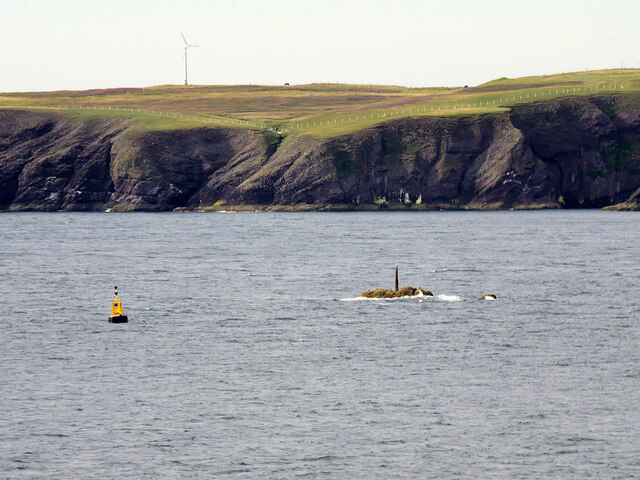
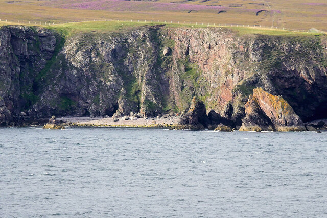
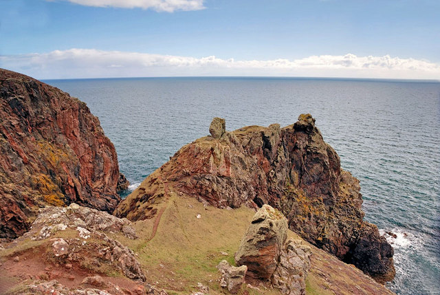
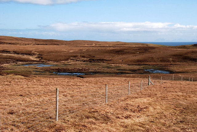
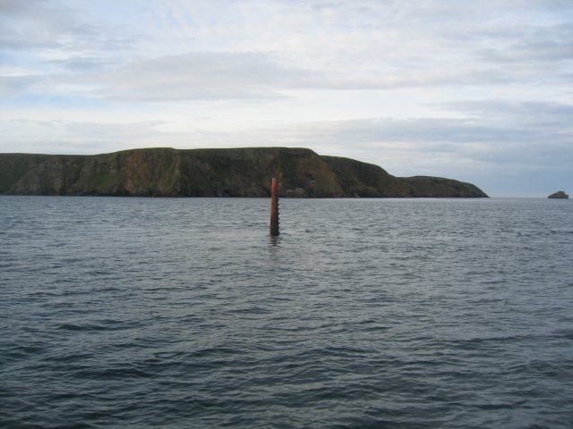
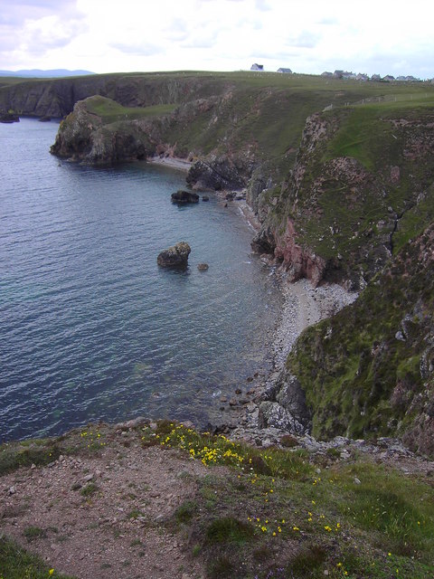
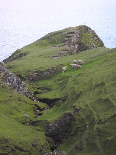
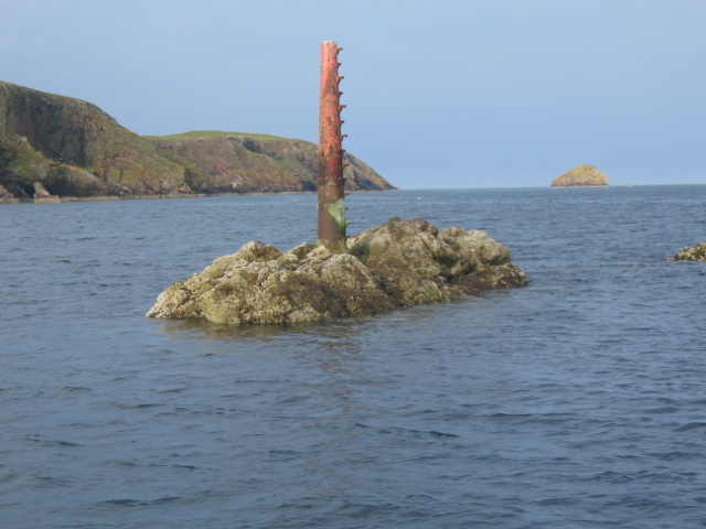
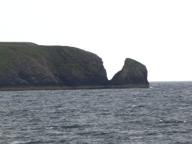
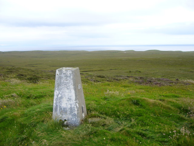
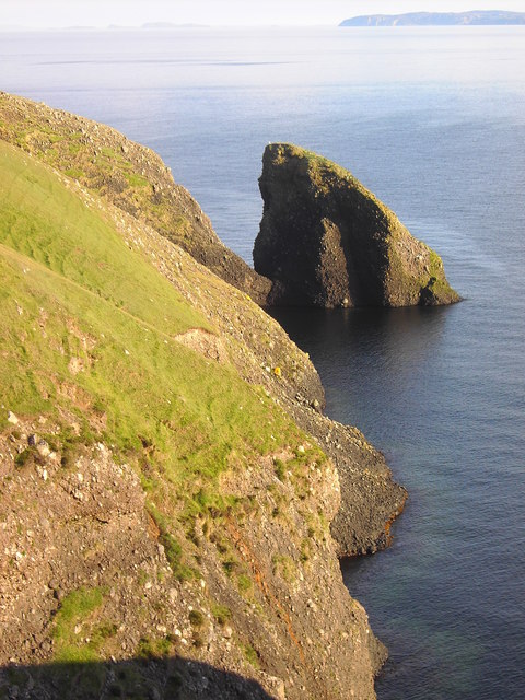
The island is characterized by its rugged and hilly terrain, with its highest point reaching an elevation of 200 feet above sea level. It is surrounded by the clear waters of the Atlantic Ocean, creating a stunning coastal landscape. The coastline of A' Chearc is lined with rocky cliffs and small secluded beaches, providing a picturesque setting.

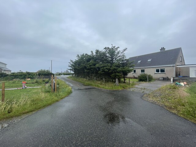
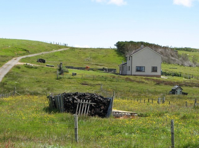
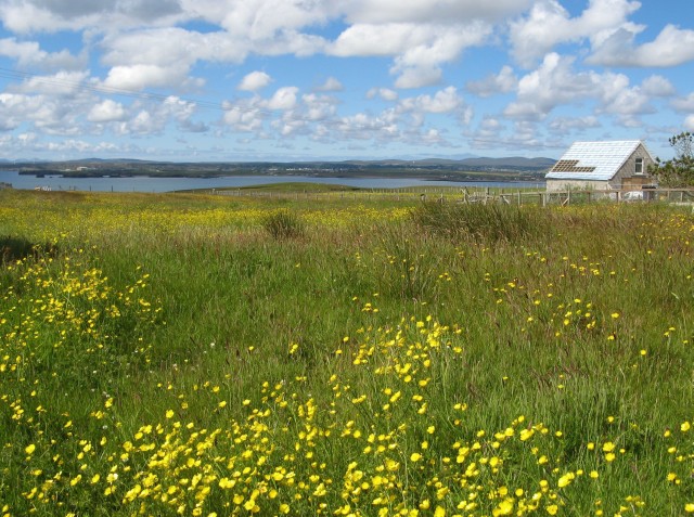
Although sparsely populated, A' Chearc is home to a small community of residents who primarily engage in activities such as fishing, farming, and tourism. Visitors are drawn to the island's natural beauty, with opportunities for hiking, bird watching, and wildlife spotting. The island is also known for its rich biodiversity, with various bird species and marine life inhabiting the surrounding waters.

Access to A' Chearc is primarily by boat, with regular ferry services connecting the island to neighboring towns on the mainland. The island is devoid of any significant infrastructure, with limited amenities available to residents and visitors. However, this lack of development adds to the island's charm, providing a tranquil and unspoiled environment for those seeking a peaceful retreat in the Scottish Highlands.

If you have any feedback on the listing, please let us know in the comments section below.

A' Chearc Images

Images are sourced within 2km of 58.177425/-6.2606811 or Grid Reference NB4928. Thanks to Geograph Open Source API. All images are credited.

Chicken Head and Chicken Rock The rocks lying off Chicken Head are called Hen & Chickens and Cock Rock.  The paddle steamer HMS Lively ran aground on the rocks in 1883 and was wrecked (all aboard were rescued). The scattered wreckage of the Lively is marked by the yellow buoy at position 59°10.610’N, 06°15.467’W in depths up to 15 metres (<span class="nowrap"><a title="https://www.scottishshipwrecks.com/hms-lively/" rel="nofollow ugc noopener" href="https://www.scottishshipwrecks.com/hms-lively/">Link</a><img style="margin-left:2px;" alt="External link" title="External link - shift click to open in new window" src="https://s1.geograph.org.uk/img/external.png" width="10" height="10"/></span> Scottish Shipwrecks).
Chicken Head and Chicken Rock
The rocks lying off Chicken Head are called Hen & Chickens and Cock Rock. The paddle steamer HMS Lively ran aground on the rocks in 1883 and was wrecked (all aboard were rescued). The scattered wreckage of the Lively is marked by the yellow buoy at position 59°10.610’N, 06°15.467’W in depths up to 15 metres (LinkExternal link Scottish Shipwrecks).
Isle of Lewis, cliffs on the Eye Peninsula
Site of Ancient Temple According to the map this area is the site of the remains of an ancient temple. Despite a lengthy search I couldn't find any sign of it but the view more than made up for the disappointment and the long hike!
Site of Ancient Temple
According to the map this area is the site of the remains of an ancient temple. Despite a lengthy search I couldn't find any sign of it but the view more than made up for the disappointment and the long hike!
The Muddy Pool Never have I been more disappointed. After walking a fair way to photograph Loch Cuilc I was confronted with this muddy pool. At first I thought I'd got the co-ordinates wrong but no....this is it!
The Muddy Pool
Never have I been more disappointed. After walking a fair way to photograph Loch Cuilc I was confronted with this muddy pool. At first I thought I'd got the co-ordinates wrong but no....this is it!
Chicken Head The red beacon marking Chicken Rock is seen centre of frame with Chicken Head prominent behind it and Eilean Croitach to extreme right.
The name of this headland is misleading in that in Old Norse it would have been "Kirk Ness" meaning the point or headland with a Church.
The Scottish Gaelic word for "chicken" is "Cearc" which is similar in pronunciation to "Kirk" (Church). The translations were mixed up so we have finished up with "Chicken Head" on the modern maps.
Chicken Head
The red beacon marking Chicken Rock is seen centre of frame with Chicken Head prominent behind it and Eilean Croitach to extreme right. The name of this headland is misleading in that in Old Norse it would have been "Kirk Ness" meaning the point or headland with a Church. The Scottish Gaelic word for "chicken" is "Cearc" which is similar in pronunciation to "Kirk" (Church). The translations were mixed up so we have finished up with "Chicken Head" on the modern maps.
The coastline in Geodh a Chuibhrig Suardail can be seen in the background
The coastline in Geodh a Chuibhrig
Suardail can be seen in the background
A burn on the common grazings
Chicken Rock Chicken Head and Eilean Crotach in distance.
Chicken Rock
Chicken Head and Eilean Crotach in distance.
Chicken Head Viewed from the causeway across to the Eye Peninsula.
Chicken Head
Viewed from the causeway across to the Eye Peninsula.
Bayble Hill trig
Bayble Hill trig
Roads of An Rubha
Roads of An Rubha
House with peat stack at Suardail This is one of several recently-built houses in the area.  The well-stocked peat stack belongs not to the house shown, but to its neighbour, just out of shot on the right.
House with peat stack at Suardail
This is one of several recently-built houses in the area. The well-stocked peat stack belongs not to the house shown, but to its neighbour, just out of shot on the right.
Buttercup invasion on the croft No longer worked, this croft is becoming overgrown.  A new house is being built on the neighbouring croft (right of photo).
Buttercup invasion on the croft
No longer worked, this croft is becoming overgrown. A new house is being built on the neighbouring croft (right of photo).
Stac Shuardal in the late evening sun
Show me another place!

A' Chearc is located at Grid Ref: NB4928 (Lat: 58.177425, Lng: -6.2606811)

Unitary Authority: Na h-Eileanan an Iar

Police Authority: Highlands and Islands

What 3 Words

///vacancies.input.feels. Near Stornoway, Na h-Eileanan Siar

Nearby Locations

A' Chearc

Related Wikis

Have you been to A' Chearc?

Leave your review of A' Chearc below (or comments, questions and feedback).