Eilean Feòir
Island in Inverness-shire
Scotland
Eilean Feòir
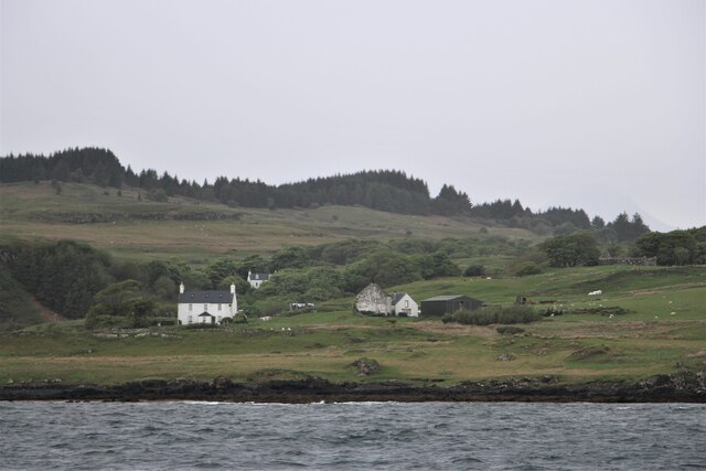
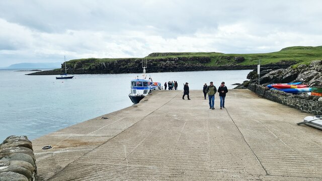
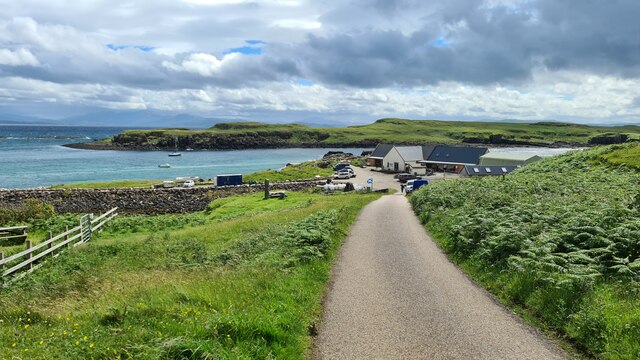
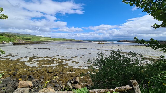
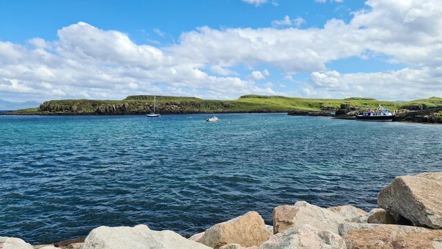
Eilean Feòir, located in Inverness-shire, Scotland, is a picturesque island that offers stunning natural beauty and a rich historical heritage. Situated in the middle of Loch Eil, the island covers an area of approximately 100 acres and is accessible by boat.
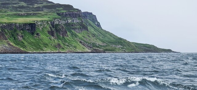
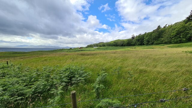
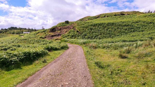
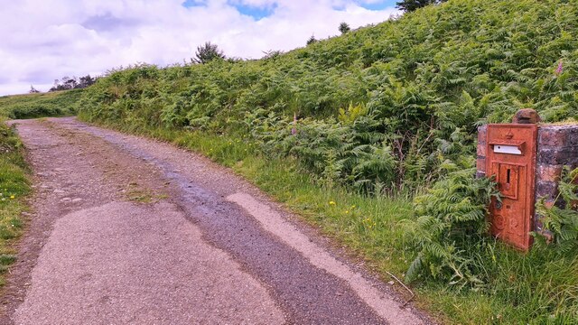
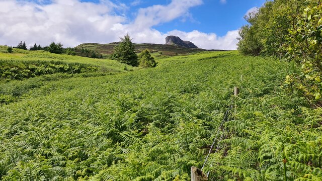
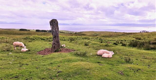
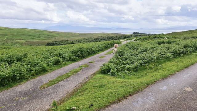
The island is renowned for its lush greenery and diverse wildlife. It is home to a variety of bird species, including the rare white-tailed eagle and the elegant heron. The surrounding waters are abundant with fish, making it a popular spot for fishing enthusiasts. The island's landscape is characterized by rolling hills, meadows, and forests, providing a tranquil retreat for nature lovers and outdoor adventurers.
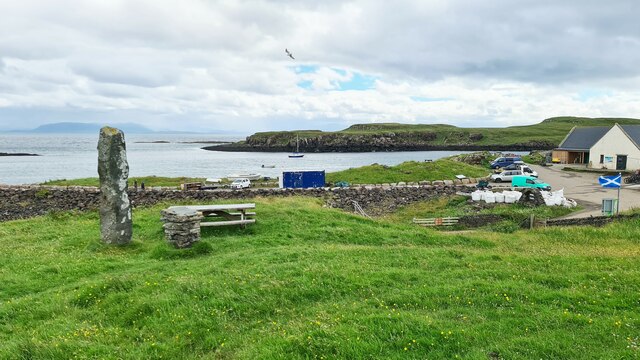
Eilean Feòir boasts a fascinating history, with evidence of human presence dating back thousands of years. Archaeological sites on the island have revealed ancient settlements and burial grounds, offering insights into the lives of its early inhabitants. The island also played a significant role during the Jacobite uprising, serving as a hiding place for Bonnie Prince Charlie and his supporters.
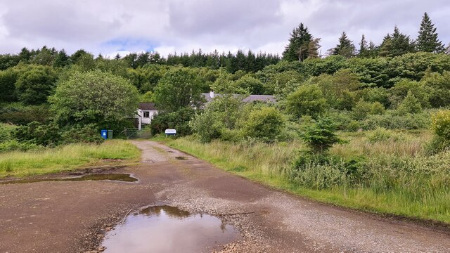
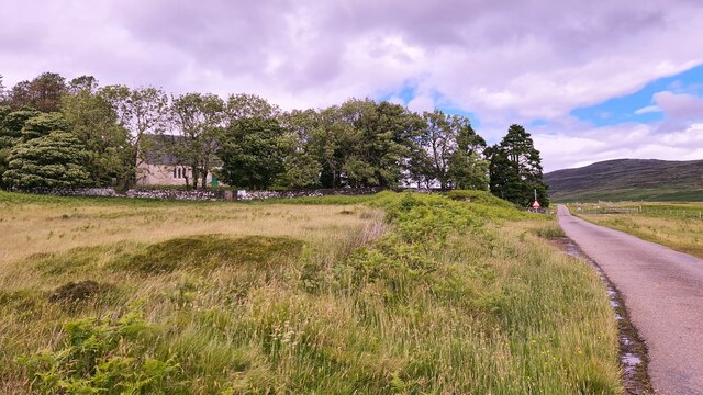
Visitors to Eilean Feòir can explore its historical ruins, take leisurely walks along its scenic trails, or simply soak in the serene atmosphere. The island offers limited accommodation options, with a few cottages available for rent, allowing visitors to experience an idyllic getaway amidst nature.
Overall, Eilean Feòir is a hidden gem in Inverness-shire, offering a perfect blend of natural beauty and historical significance, making it an enticing destination for both nature enthusiasts and history buffs.
If you have any feedback on the listing, please let us know in the comments section below.
Eilean Feòir Images
Images are sourced within 2km of 56.881141/-6.1276216 or Grid Reference NM4884. Thanks to Geograph Open Source API. All images are credited.
Eilean Feòir is located at Grid Ref: NM4884 (Lat: 56.881141, Lng: -6.1276216)
Unitary Authority: Highland
Police Authority: Highlands and Islands
What 3 Words
///unusually.rent.animator. Near Arisaig, Highland
Nearby Locations
Related Wikis

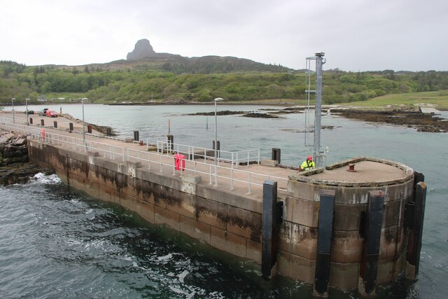
Galmisdale
Galmisdale is the main port of the island of Eigg, one of the Small Isles of the Inner Hebrides. It is in the Scottish council area of Highland. ��2�...

Eilean Chathastail
Eilean Chathastail (Eng: Castle Island) is one of the Small Isles in the Inner Hebrides of Scotland. == Geography == Eilean Chathastail...

An Sgùrr (Eigg)
An Sgùrr is the highest hill on the Inner Hebridean island of Eigg, Lochaber, Highland, Scotland. It was formed 58.72 ± 0.07 million years ago; the result...

Eigg
Eigg ( eg; Scottish Gaelic: Eige; Scots: Eigg) is one of the Small Isles in the Scottish Inner Hebrides. It lies to the south of the Isle of Skye and to...
Nearby Amenities
Located within 500m of 56.881141,-6.1276216Have you been to Eilean Feòir?
Leave your review of Eilean Feòir below (or comments, questions and feedback).