Poll nam Partan
Bay in Inverness-shire
Scotland
Poll nam Partan
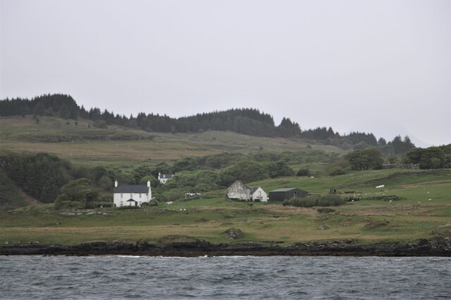
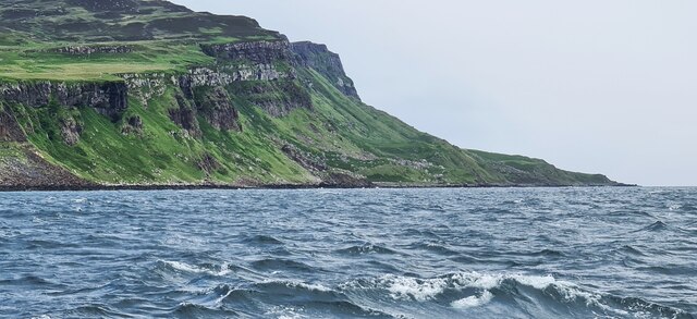
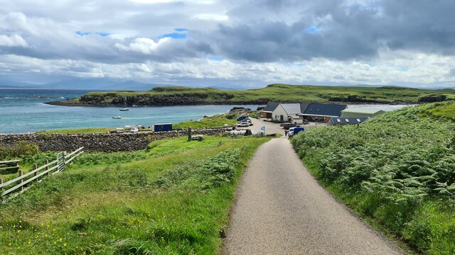
Poll nam Partan is a small bay located in Inverness-shire, Scotland. It is situated on the western coast of Scotland, overlooking the Atlantic Ocean. The bay is known for its stunning natural beauty and is a popular tourist destination.
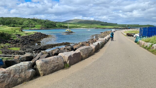
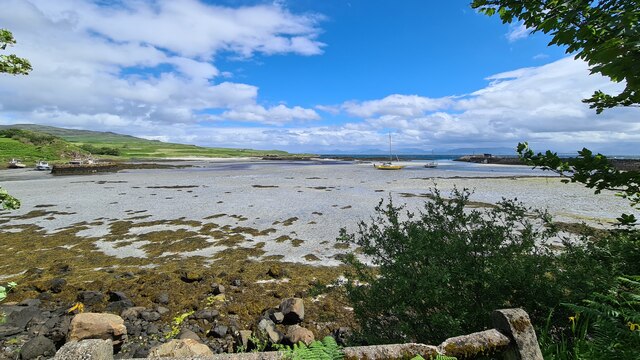
The name "Poll nam Partan" translates to "Bay of the Crabs" in English, which is indicative of the abundant marine life found here. The bay is characterized by its rugged coastline, with rocky cliffs and sandy beaches. The turquoise waters of the bay are crystal clear and provide a perfect setting for swimming, snorkeling, and other water activities.
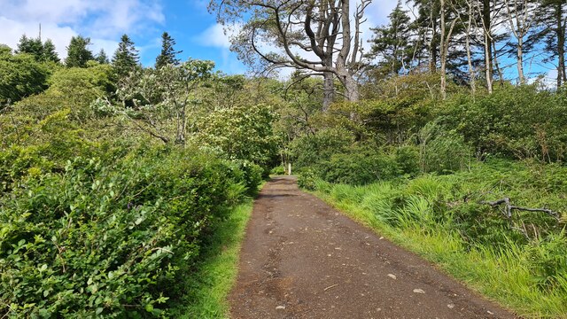
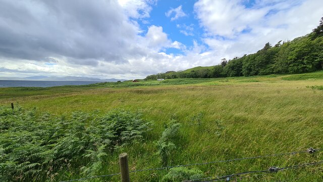
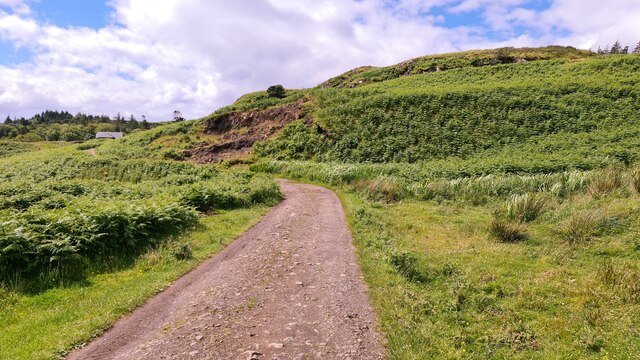
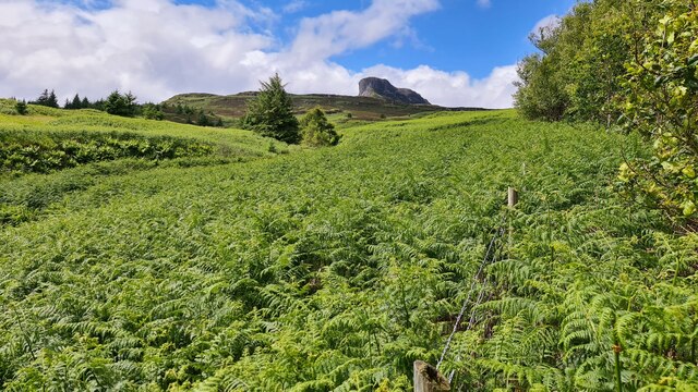
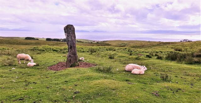
The bay is also home to a variety of wildlife, including seals, dolphins, and various species of seabirds. Birdwatchers flock to the area to catch a glimpse of these magnificent creatures in their natural habitat. The surrounding landscape is dotted with heather-covered hills and lush greenery, providing ample opportunities for hiking and exploring.
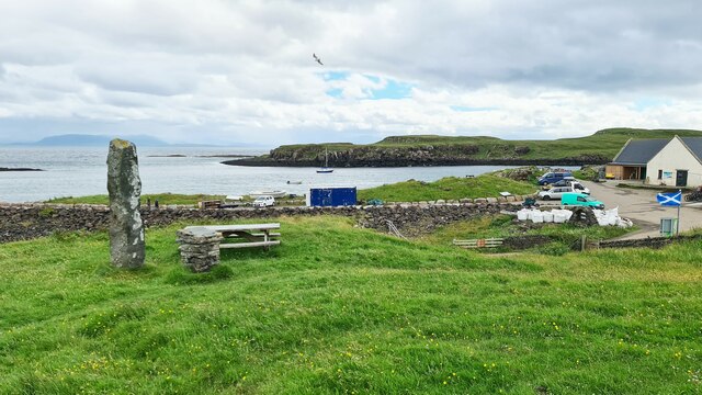
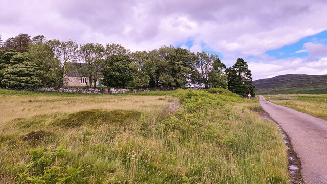
Poll nam Partan offers a tranquil and peaceful environment for visitors seeking a break from the hustle and bustle of city life. The bay is relatively secluded, providing a sense of serenity and solitude. It is the perfect spot to unwind, relax, and enjoy the beauty of nature.
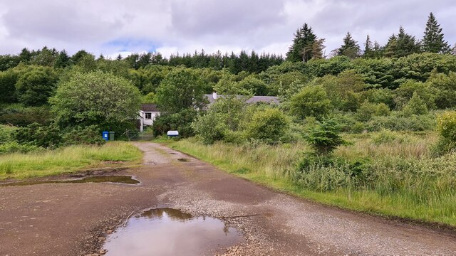
In terms of facilities, there are a few accommodations and eateries available in the nearby villages, providing visitors with the necessary amenities. The bay can be accessed by car, and there are parking facilities available for those who wish to drive.
Overall, Poll nam Partan is a picturesque bay that offers a unique and memorable experience for nature lovers and outdoor enthusiasts alike. Its breathtaking beauty and rich wildlife make it a must-visit destination in Inverness-shire.
If you have any feedback on the listing, please let us know in the comments section below.
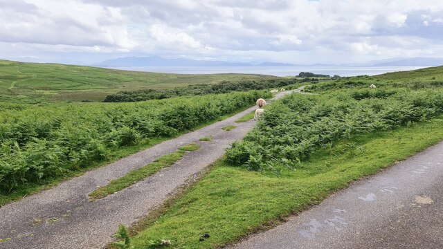
Poll nam Partan Images
Images are sourced within 2km of 56.885296/-6.12353 or Grid Reference NM4884. Thanks to Geograph Open Source API. All images are credited.

Poll nam Partan is located at Grid Ref: NM4884 (Lat: 56.885296, Lng: -6.12353)
Unitary Authority: Highland
Police Authority: Highlands and Islands
What 3 Words
///referral.intrigued.arriving. Near Arisaig, Highland
Nearby Locations
Related Wikis

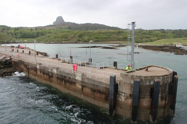
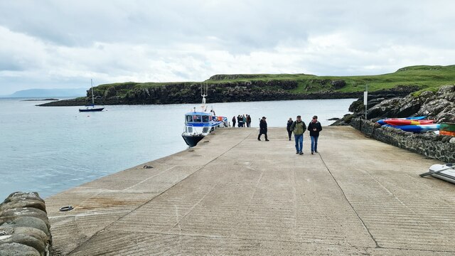
Galmisdale
Galmisdale is the main port of the island of Eigg, one of the Small Isles of the Inner Hebrides. It is in the Scottish council area of Highland. ��2�...

Eilean Chathastail
Eilean Chathastail (Eng: Castle Island) is one of the Small Isles in the Inner Hebrides of Scotland. == Geography == Eilean Chathastail...

An Sgùrr (Eigg)
An Sgùrr is the highest hill on the Inner Hebridean island of Eigg, Lochaber, Highland, Scotland. It was formed 58.72 ± 0.07 million years ago; the result...

Eigg
Eigg ( eg; Scottish Gaelic: Eige; Scots: Eigg) is one of the Small Isles in the Scottish Inner Hebrides. It lies to the south of the Isle of Skye and to...
Nearby Amenities
Located within 500m of 56.885296,-6.12353Have you been to Poll nam Partan?
Leave your review of Poll nam Partan below (or comments, questions and feedback).