A' Chorr-sgeir Muigh

Island in Argyllshire

Scotland

A' Chorr-sgeir Muigh

Iona Golf Course On the western side of the island.
Iona Golf Course Credit: Andrew Abbott

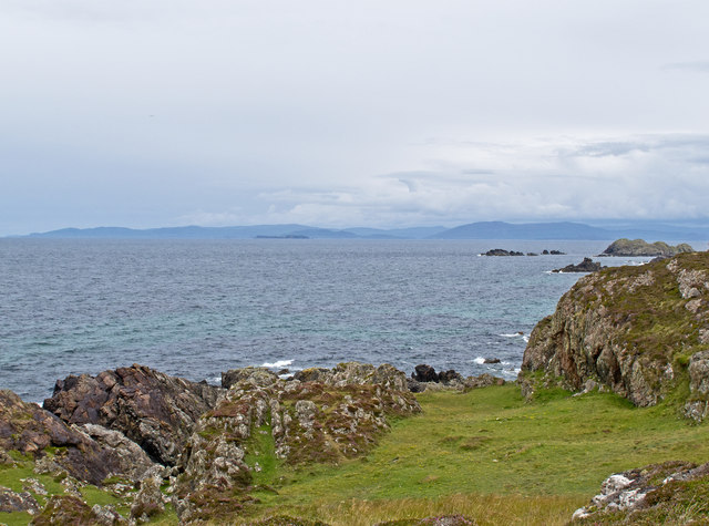
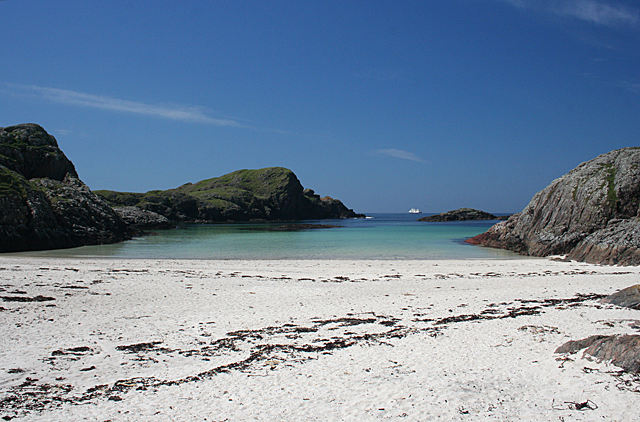
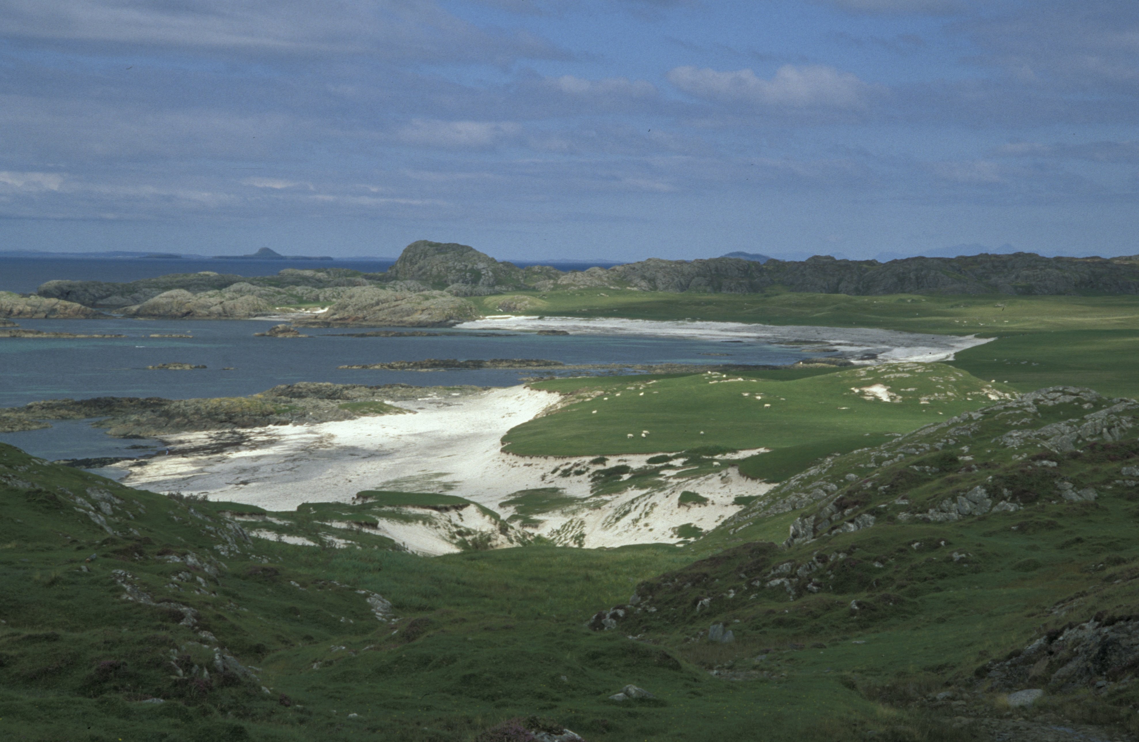
A' Chorr-sgeir Muigh is a small island located in Argyllshire, Scotland. It is situated in the Inner Hebrides, specifically in the Firth of Lorn, between the mainland and the Isle of Mull. The island covers an area of approximately 0.5 hectares.

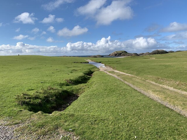
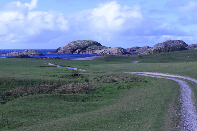
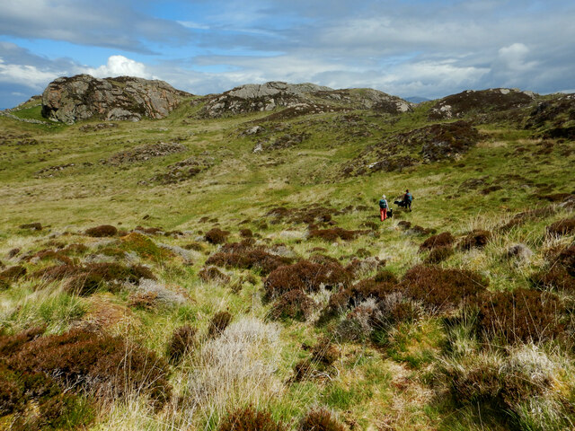
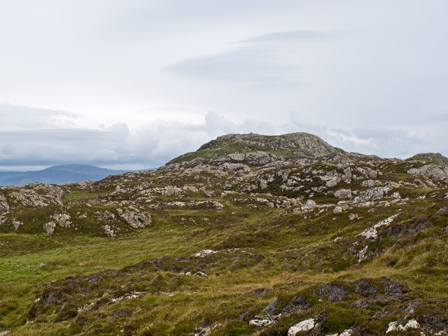
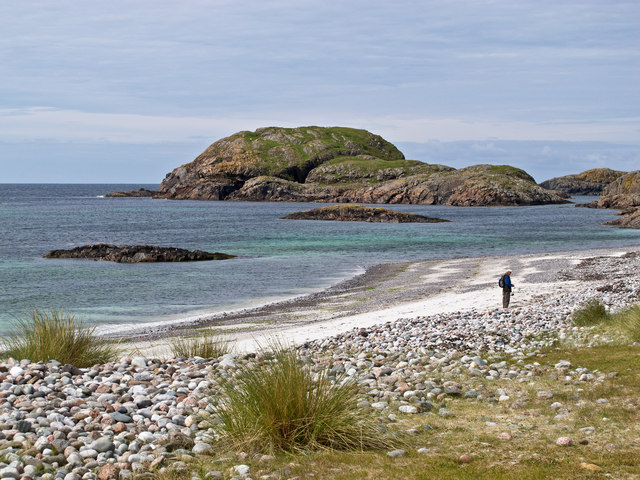
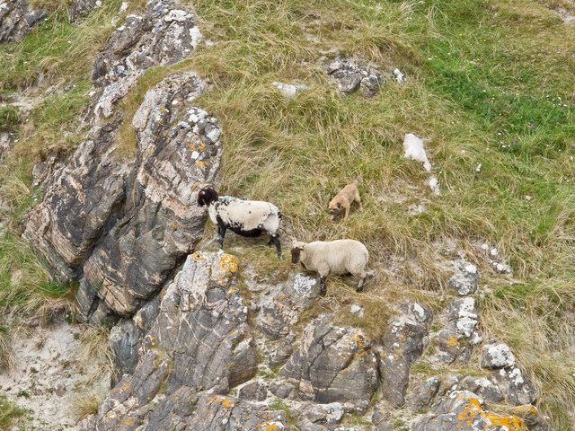
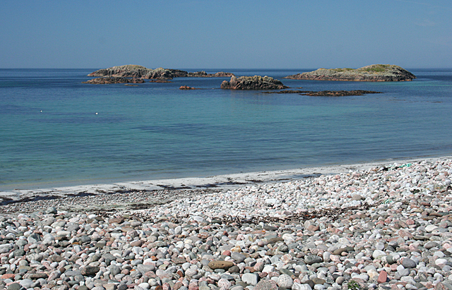
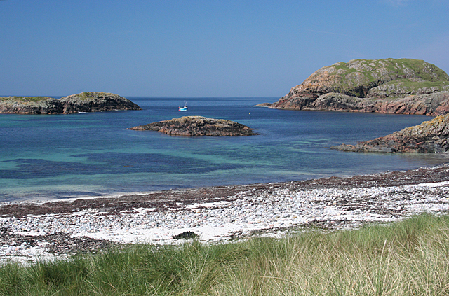
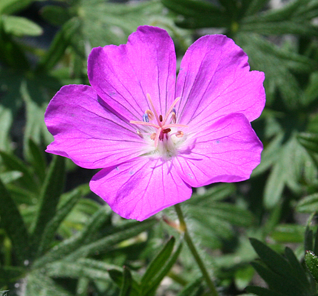
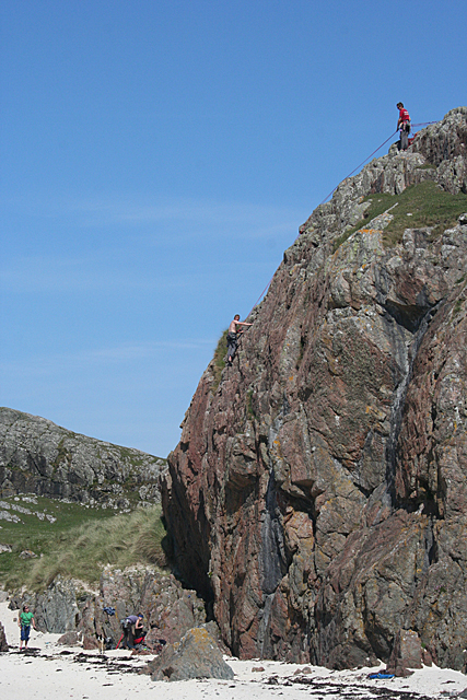
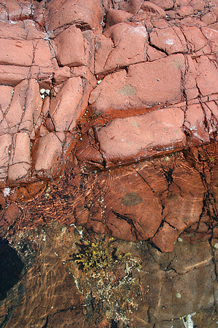
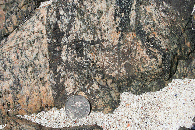
A' Chorr-sgeir Muigh is known for its rugged and rocky terrain, with steep cliffs that provide a nesting site for various seabird species, including guillemots and razorbills. The island's remote location and challenging access make it a haven for wildlife and a popular spot for birdwatching enthusiasts.

The island is uninhabited and lacks any infrastructure or facilities. It is mainly visited by nature enthusiasts, researchers, and wildlife photographers who are drawn to its untouched beauty. Due to its small size, it is not suitable for overnight stays or camping.

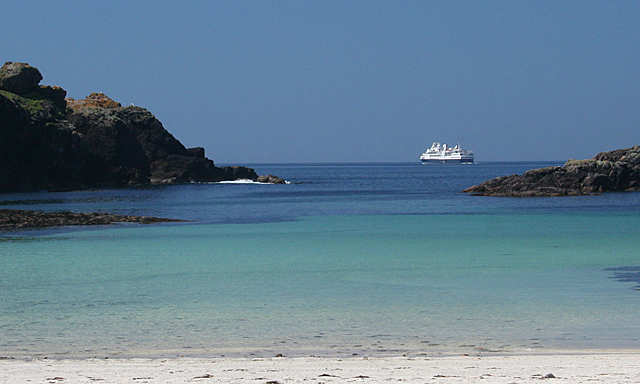
Access to A' Chorr-sgeir Muigh is mainly by private boat or chartered tours, as there are no scheduled ferry services to the island. Visitors are advised to check weather conditions and tidal patterns before planning a trip, as the area can be subject to strong currents and rough seas.

Overall, A' Chorr-sgeir Muigh offers a unique opportunity to experience the untouched wilderness and observe a diverse range of seabirds in their natural habitat. It is a remote and secluded destination that showcases the rugged beauty of the Scottish coast.

If you have any feedback on the listing, please let us know in the comments section below.

A' Chorr-sgeir Muigh Images

Images are sourced within 2km of 56.339643/-6.4310736 or Grid Reference NM2625. Thanks to Geograph Open Source API. All images are credited.

Iona Golf Course On the western side of the island.
Iona Golf Course
On the western side of the island.
Towards Iona Golf Course From Skerryvore.
Towards Iona Golf Course
From Skerryvore.
Gateway by Skerryvore Leading to Iona Golf Course.
Gateway by Skerryvore
Leading to Iona Golf Course.
Machair house On Iona
Machair house
On Iona
Cross country on the north of Iona The one fully land-locked grid square on Iona is rough terrain with various prehistoric defensible remains and lots of good viewpoints perched on rocky tors. Compared with the coast, it seems little frequented (and very boggy underfoot with various fences deflecting one from the obvious directions of travel). Frequent it we must, however, as this was my final square to complete coverage of my first inhabited island for geograph.
Cross country on the north of Iona
The one fully land-locked grid square on Iona is rough terrain with various prehistoric defensible remains and lots of good viewpoints perched on rocky tors. Compared with the coast, it seems little frequented (and very boggy underfoot with various fences deflecting one from the obvious directions of travel). Frequent it we must, however, as this was my final square to complete coverage of my first inhabited island for geograph.
Iona coastline The north-west coastline of Iona, with rock of the Lewisian Gneiss type evident. This is one of Britain's oldest rocks, and was formed approximately 2,000 million years ago.
Iona coastline
The north-west coastline of Iona, with rock of the Lewisian Gneiss type evident. This is one of Britain's oldest rocks, and was formed approximately 2,000 million years ago.
North-west Iona The north-western area of Iona, viewed towards Dun I, the highest point on the island.
North-west Iona
The north-western area of Iona, viewed towards Dun I, the highest point on the island.
Iona coastline The western coastline of Iona near Camas Cuil an t-Saimh, with Eilean Didil visible in the distance.
Iona coastline
The western coastline of Iona near Camas Cuil an t-Saimh, with Eilean Didil visible in the distance.
Sheep-worrying, Iona Despite its small size, this canine fiend caused considerable distress to sheep on western Iona.
Sheep-worrying, Iona
Despite its small size, this canine fiend caused considerable distress to sheep on western Iona.
Cnoc nam Bradain If I believe the Gaelic dictionary, the name of this place means 'salmon knoll'. It is a typical Hebridean house, standing on the machair by the track across the island.
Cnoc nam Bradain
If I believe the Gaelic dictionary, the name of this place means 'salmon knoll'. It is a typical Hebridean house, standing on the machair by the track across the island.
Camas Cùil an t-Saimh This is the main beach on the west coast of Iona, and an easy one to get to. Its name apparently means either 'sorrel back beach' or 'bad smell back beach', according to the Gaelic dictionary, but there was no evidence for the latter today.
Camas Cùil an t-Saimh
This is the main beach on the west coast of Iona, and an easy one to get to. Its name apparently means either 'sorrel back beach' or 'bad smell back beach', according to the Gaelic dictionary, but there was no evidence for the latter today.
Eilean nan Slat and Eilean Didil Eilean nan Slat is on the left and Eilean Didil is on the right. The rock in the middle of the bay is unnamed.
Eilean nan Slat and Eilean Didil
Eilean nan Slat is on the left and Eilean Didil is on the right. The rock in the middle of the bay is unnamed.
Bloody Cranesbill (Geranium sanguineum) Unmistakable because of its distinctive colour, this plant is usually found on lime, but here it is taking advantage of the shell sand of the machair.
Bloody Cranesbill (Geranium sanguineum)
Unmistakable because of its distinctive colour, this plant is usually found on lime, but here it is taking advantage of the shell sand of the machair.
Rock Climbing A party of students celebrate the end of their examinations by taking a few days and practise their rock-climbing skills at Port Bàn.
Rock Climbing
A party of students celebrate the end of their examinations by taking a few days and practise their rock-climbing skills at Port Bàn.
Port Bàn It's easy to see where this name comes from - it means' white harbour'.
Port Bàn
It's easy to see where this name comes from - it means' white harbour'.
Port Bàn The vessel passing to seaward of Port Bàn is the Silver Discovery.
Port Bàn
The vessel passing to seaward of Port Bàn is the Silver Discovery.
Lamprophyre The brick-red rock is part of a calc-alkaline lamprophyre sheet, and its contact with the browner sheet beneath can be seen in the rock pool at the bottom of this image. Lamprophyres are igneous rocks of unusual chemical composition, high in magnesium, potassium, sodium, nickel and chromium.
Lamprophyre
The brick-red rock is part of a calc-alkaline lamprophyre sheet, and its contact with the browner sheet beneath can be seen in the rock pool at the bottom of this image. Lamprophyres are igneous rocks of unusual chemical composition, high in magnesium, potassium, sodium, nickel and chromium.
Pseudotachylite Pseudotachylites occur where parts of a rock have been suddenly and briefly melted by changes of pressure, for example during tectonis movements. They solidify quickly, with a glassy texture, and appear like black veins in other types of rock. Note the sharp contact with the undisturbed granite beside it. 10p coin for scale.
Pseudotachylite
Pseudotachylites occur where parts of a rock have been suddenly and briefly melted by changes of pressure, for example during tectonis movements. They solidify quickly, with a glassy texture, and appear like black veins in other types of rock. Note the sharp contact with the undisturbed granite beside it. 10p coin for scale.
Show me another place!

A' Chorr-sgeir Muigh is located at Grid Ref: NM2625 (Lat: 56.339643, Lng: -6.4310736)

Unitary Authority: Argyll and Bute

Police Authority: Argyll and West Dunbartonshire

What 3 Words

///airfields.highbrow.sliding. Near Fionnphort, Argyll & Bute

Related Wikis

Bay at the Back of the Ocean

The Bay at the Back of the Ocean (Scottish Gaelic: Camas Cuil an t-Saimh) is a wide, west facing bay on the island of Iona, Argyll and Bute, Scotland,...

Iona

Iona (; Scottish Gaelic: Ì Chaluim Chille [ˈiː ˈxal̪ˠɪm ˈçiʎə] , sometimes simply Ì) is a small island in the Inner Hebrides, off the Ross of Mull on the...

Iona Abbey

Iona Abbey is an abbey located on the island of Iona, just off the Isle of Mull on the West Coast of Scotland. It is one of the oldest Christian religious...

St Oran's Chapel

St Oran's Chapel (Odhráin/Orain/Odran) is a medieval chapel located on the island of Iona in the Inner Hebrides off the west coast of Scotland. Built in...

Bishop's House, Iona

Bishop's House is a retreat house for the Scottish Episcopal Church, located on the island of Iona, off the west coast of Scotland. == History == It was...

Sound of Iona

The Sound of Iona is a sound between the Inner Hebridean islands of Mull and Iona in western Scotland. It forms part of the Atlantic Ocean. The tidal...

Fionnphort

Fionnphort (English: , Scottish Gaelic: [ˈfjun̪ˠafɔrˠt̪]) is the principal port of the Ross of Mull, and the second largest settlement in the area (its...

Kintra

Kintra (Scottish Gaelic: Ceann na Tràgha), literally "country" in Scots is a settlement on the North-Western coast of the Ross of Mull, Scotland. The settlement...

Have you been to A' Chorr-sgeir Muigh?

Leave your review of A' Chorr-sgeir Muigh below (or comments, questions and feedback).