Sgeir na Muice
Island in Inverness-shire
Scotland
Sgeir na Muice
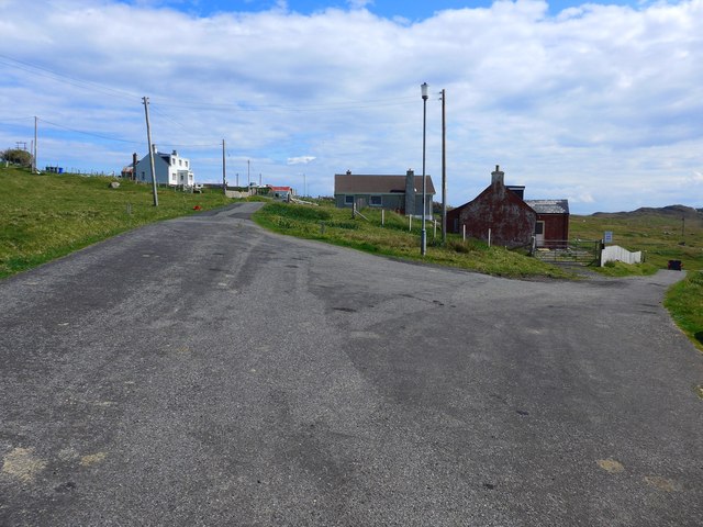
Sgeir na Muice is a small uninhabited island located off the coast of Inverness-shire, Scotland. Also known as the Pig Rock, it is situated in the Inner Moray Firth, approximately 2 kilometers northeast of Fort George. The island is a prominent feature in the local landscape and holds historical and ecological significance.
Covering an area of around 1.5 hectares, Sgeir na Muice is a rocky outcrop that rises about 15 meters above sea level. The island is composed of sandstone and has a rugged terrain with a few patches of vegetation. Its exposed position makes it particularly susceptible to the strong winds and tidal currents of the Moray Firth.
The name Sgeir na Muice translates to "Pig Rock" in Gaelic, which is believed to be derived from the shape of the island resembling a pig when viewed from certain angles. Despite being uninhabited, the island has been used as a navigational landmark for centuries, serving as a reference point for sailors and fishermen in the region.
In addition to its navigational significance, Sgeir na Muice also provides a habitat for various seabird species. The island is known to be a breeding ground for gulls, cormorants, and shags. The surrounding waters are rich in marine life, attracting seals and dolphins, which can sometimes be spotted near the island.
Due to its natural and historical value, Sgeir na Muice is protected as part of the Moray Firth Special Area of Conservation. Access to the island is restricted to protect the wildlife and preserve its natural state. Visitors can admire the island from a distance, either from the coast or from boat tours that explore the Moray Firth.
If you have any feedback on the listing, please let us know in the comments section below.
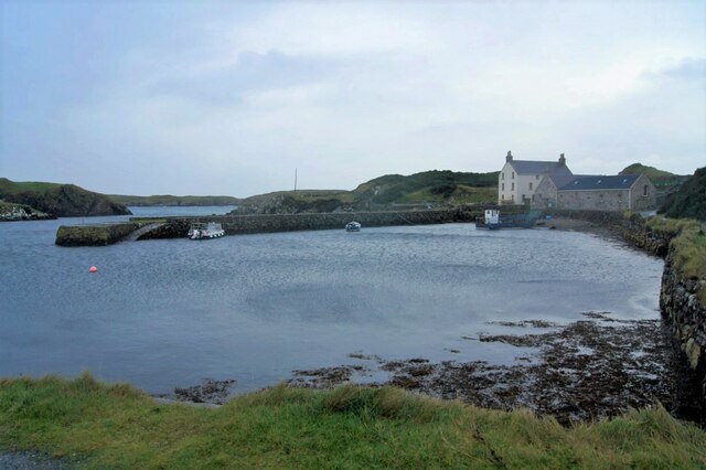
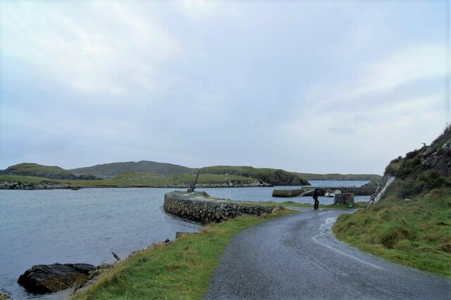
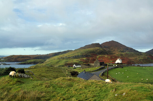
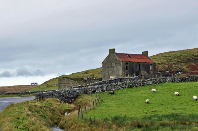
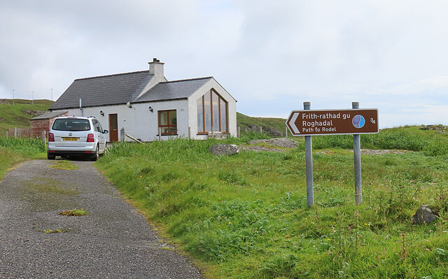
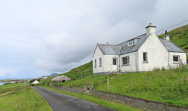
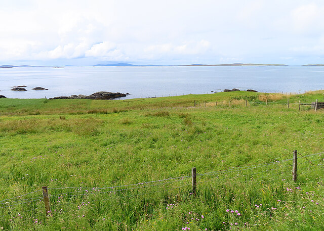
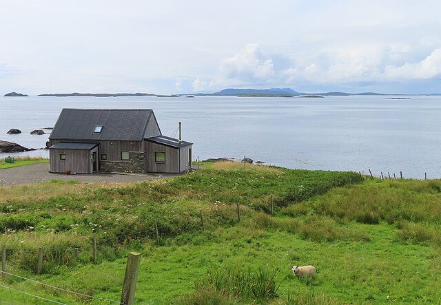
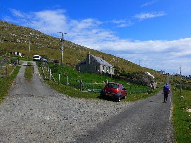
Sgeir na Muice Images
Images are sourced within 2km of 57.734778/-6.9794282 or Grid Reference NG0382. Thanks to Geograph Open Source API. All images are credited.
Sgeir na Muice is located at Grid Ref: NG0382 (Lat: 57.734778, Lng: -6.9794282)
Unitary Authority: Na h-Eileanan an Iar
Police Authority: Highlands and Islands
What 3 Words
///width.planet.fidgeted. Near Leverburgh, Na h-Eileanan Siar
Nearby Locations
Related Wikis

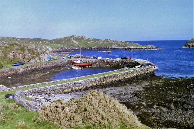
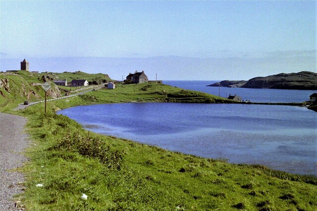
Rodel
Rodel (Scottish Gaelic: Roghadal) is a village on the south-eastern coast of Harris, an island in the Scottish Outer Hebrides. Rodel is situated in the...

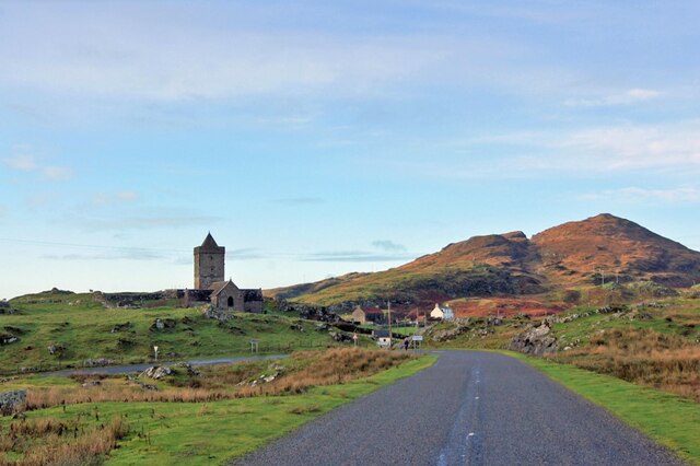
St Clement's Church, Rodel
St Clement's Church (Scottish Gaelic: Tùr Chliamhainn, meaning Clement's Tower) is a late fifteenth-century or early sixteenth-century church in Rodel...

Roineabhal
Roineabhal is a hill in Harris, in the Western Isles of Scotland. The granite on the summit plateau of the mountain is anorthosite, and is similar in composition...

Outer Hebrides
The Outer Hebrides ( HEB-rid-eez) or Western Isles (Scottish Gaelic: na h-Eileanan Siar [nə ˈhelanən ˈʃiəɾ] , na h-Eileanan an Iar [nə ˈhelanən əɲ ˈiəɾ...
Nearby Amenities
Located within 500m of 57.734778,-6.9794282Have you been to Sgeir na Muice?
Leave your review of Sgeir na Muice below (or comments, questions and feedback).