A' Chlèit
Island in Argyllshire
Scotland
A' Chlèit
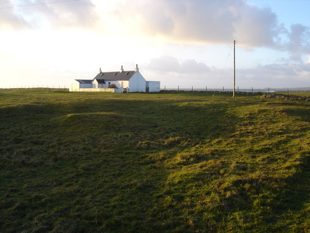
A' Chlèit is a small island located off the west coast of Scotland in the county of Argyllshire. It is situated in the Inner Hebrides, around 5 miles southwest of the larger Isle of Mull. The island is relatively small, spanning approximately 1.5 square miles.
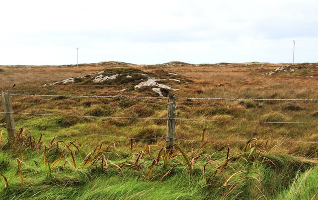
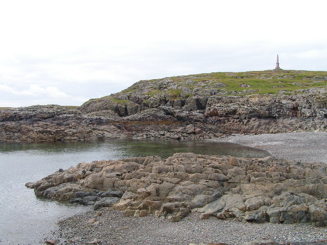
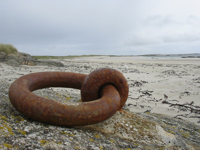
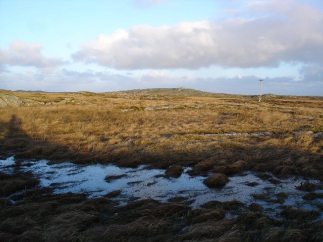
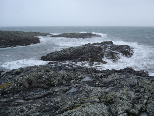
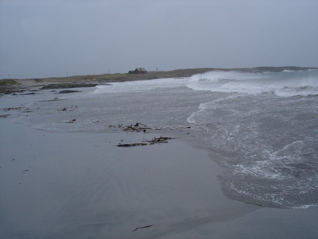
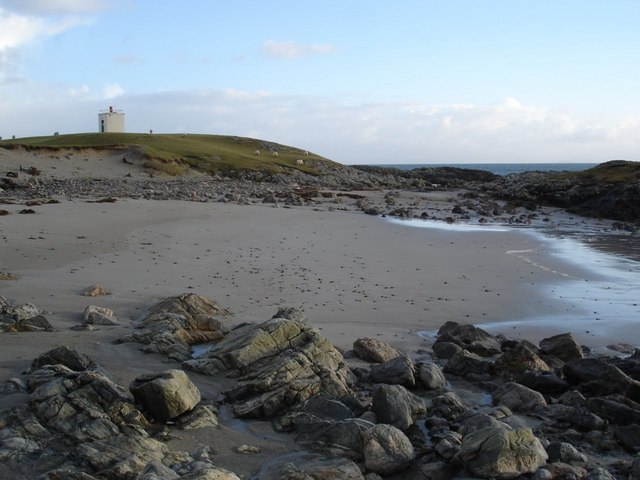
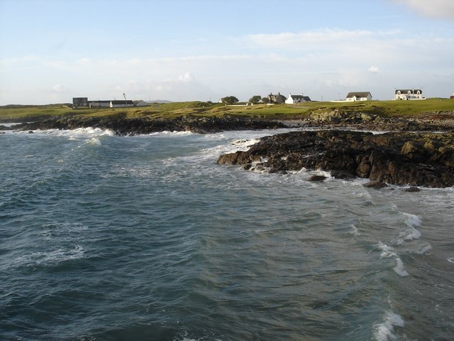
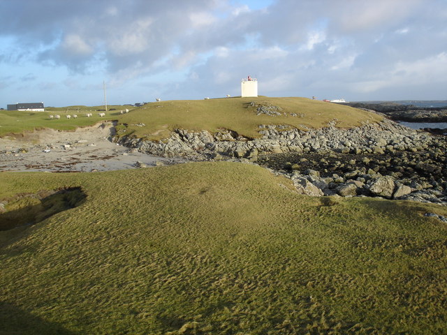
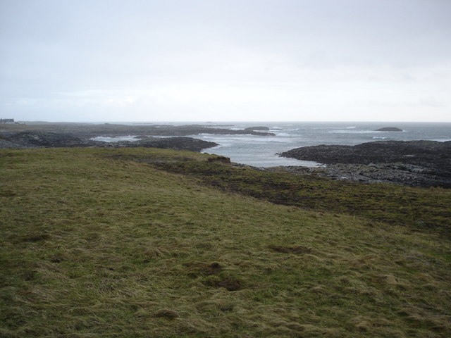
Known for its stunning natural beauty, A' Chlèit boasts picturesque landscapes and rugged terrain. The island is characterized by its rocky coastline, sandy beaches, and rolling hills, offering visitors a diverse range of outdoor activities, such as hiking, birdwatching, and fishing.
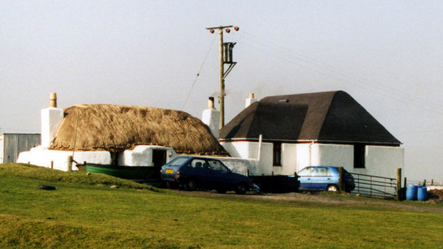
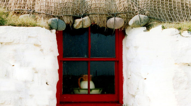
Despite its small size, A' Chlèit has a rich history. It is believed to have been inhabited since prehistoric times, with evidence of ancient settlements and burial grounds. The island was later used as a Viking base during the Norse occupation of the region.
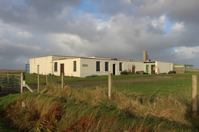
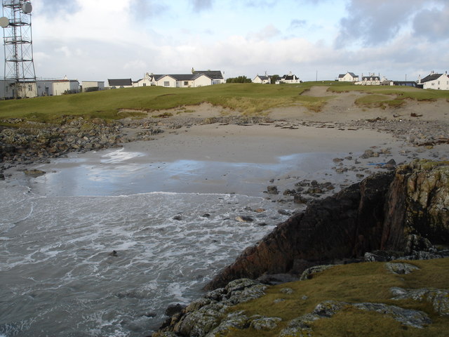
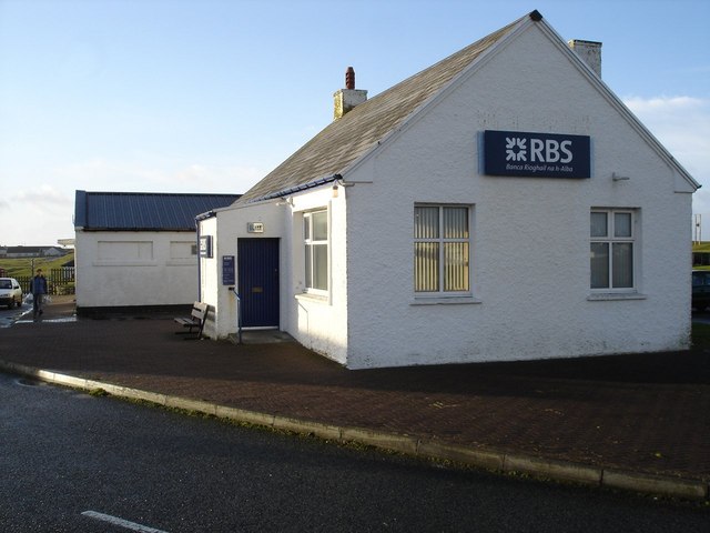
Today, A' Chlèit remains sparsely populated, with only a handful of permanent residents. It is primarily a destination for nature enthusiasts seeking tranquility and seclusion. There are no shops or amenities on the island, making it necessary for visitors to bring their own supplies.
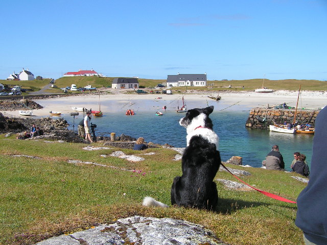
The island can be accessed via a short boat trip from the nearby Isle of Mull. Ferry services operate regularly, allowing tourists to explore A' Chlèit and experience its unspoiled beauty.
If you have any feedback on the listing, please let us know in the comments section below.
A' Chlèit Images
Images are sourced within 2km of 56.483016/-6.8131026 or Grid Reference NM0342. Thanks to Geograph Open Source API. All images are credited.
A' Chlèit is located at Grid Ref: NM0342 (Lat: 56.483016, Lng: -6.8131026)
Unitary Authority: Argyll and Bute
Police Authority: Argyll and West Dunbartonshire
What 3 Words
///coherent.proposals.lyrics. Near Scarinish, Argyll & Bute
Nearby Locations
Related Wikis

Scarinish
Scarinish (Scottish Gaelic: Sgairinis [ˈs̪kaɾʲɪnɪʃ]) is the main village on the island of Tiree, in the Inner Hebrides of Scotland. It is located on the...

Tiree
Tiree (; Scottish Gaelic: Tiriodh, pronounced [ˈtʲʰiɾʲəɣ]) is the most westerly island in the Inner Hebrides of Scotland. The low-lying island, southwest...

Tiree Airport
Tiree Airport (Scottish Gaelic: Port-adhair Thiriodh) (IATA: TRE, ICAO: EGPU) is located 2.5 nautical miles (4.6 km; 2.9 mi) north northeast of Balemartine...

Tiree Music Festival
Tiree Music Festival is a Scottish folk music festival held annually on the Island of Tiree in the Inner Hebrides. The festival was founded in 2010 by...
Have you been to A' Chlèit?
Leave your review of A' Chlèit below (or comments, questions and feedback).