Holm

Island in Inverness-shire

Scotland

Holm

Roghadal harbour The house on the right was built in 1781, and become an hotel at least as early as the 1920s. The building is currently undergoing significant restoration.
Roghadal harbour Credit: Richard Dorrell

Holm is a small island located in the Inverness-shire region of Scotland. It lies in the inner Moray Firth, approximately 3 miles east of Inverness, the largest city in the Scottish Highlands. Covering an area of around 2.5 square miles, Holm is connected to the mainland by the Kessock Bridge, which spans the Beauly Firth.

The island is predominantly rural and boasts stunning natural landscapes, including rolling hills, lush green fields, and breathtaking coastal views. Holm is also home to several small villages and settlements, such as Culloden, Balloch, and Smithton, where the local population resides.

Historically, Holm played a significant role in the Jacobite rising of 1745, as it was the site of the Battle of Culloden. Today, visitors can explore the Culloden Battlefield, a preserved historical site that commemorates the battle and offers insights into this crucial period in Scottish history.

The island is well-connected to the mainland, with regular bus services and easy access to the A9 road, making it convenient for both tourists and locals. Holm offers a range of amenities, including schools, shops, and recreational facilities, ensuring a comfortable living environment for its residents.

The natural beauty of Holm attracts nature enthusiasts, who can enjoy activities such as hiking, birdwatching, and fishing. The island is also known for its diverse wildlife, including seals, dolphins, and various bird species.

In summary, Holm is a picturesque island in Inverness-shire, Scotland, offering a blend of history, natural beauty, and a tranquil rural lifestyle.

If you have any feedback on the listing, please let us know in the comments section below.
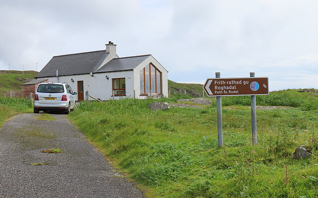
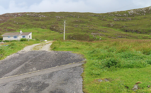
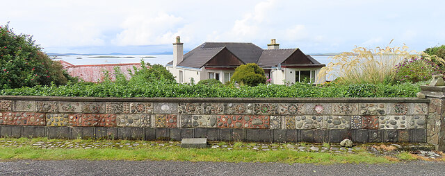
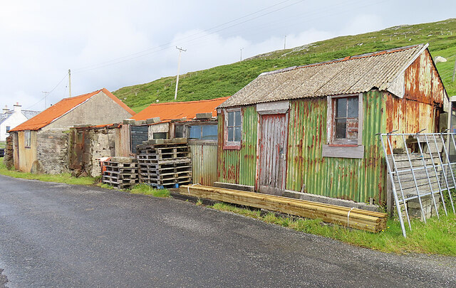
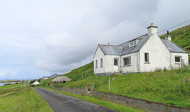
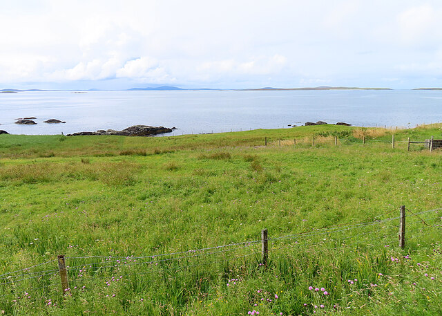
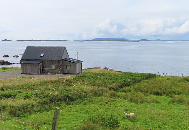
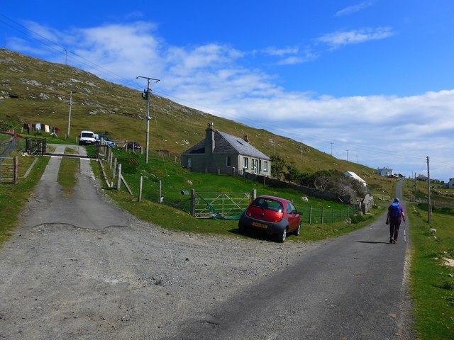
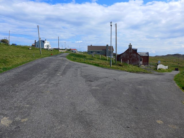
Holm Images

Images are sourced within 2km of 57.736277/-6.9815859 or Grid Reference NG0382. Thanks to Geograph Open Source API. All images are credited.

Roghadal harbour The house on the right was built in 1781, and become an hotel at least as early as the 1920s. The building is currently undergoing significant restoration.
Roghadal harbour
The house on the right was built in 1781, and become an hotel at least as early as the 1920s. The building is currently undergoing significant restoration.
Roghadal harbour An odd little loop of single track road provides vehicle access from two directions.
Roghadal harbour
An odd little loop of single track road provides vehicle access from two directions.
Roghadal  Looking north west over the wall of the churchyard.
Roghadal
Looking north west over the wall of the churchyard.
Derelict building, Roghadal The building is Category B listed. There is a staircase on the front to a first floor door, while access to the ground floor is from the rear. Most recently in use for storage or as a byre, the presence of chimneys suggest that at least part of the building may at one time have been residential. 
See also: <a href="https://www.geograph.org.uk/photo/1349347">NG0483 : Derelict House at Roghadal</a>.
Derelict building, Roghadal
The building is Category B listed. There is a staircase on the front to a first floor door, while access to the ground floor is from the rear. Most recently in use for storage or as a byre, the presence of chimneys suggest that at least part of the building may at one time have been residential. See also: NG0483 : Derelict House at Roghadal.
Roghadal St Clement's Church stands prominently above the small settlement. 
View looking north west from the end of the minor road which runs the length of the east coast of Harris.
Roghadal
St Clement's Church stands prominently above the small settlement. View looking north west from the end of the minor road which runs the length of the east coast of Harris.
Rodel Harbour, Harris, 1989
Looking south towards Rodel, Harris, 1989
Roghadal Harbour
Roghadal Harbour
Signpost at Borghasdal The motorable road ends here, but a track allows pedestrians to carry on to Rogahadal (Rodel).
Signpost at Borghasdal
The motorable road ends here, but a track allows pedestrians to carry on to Rogahadal (Rodel).
Borghasdal A newish house stands alone beside the track to Roghadal.
Borghasdal
A newish house stands alone beside the track to Roghadal.
Garden Wall The dyke around the garden of this house at Borghasdal has been elaborately decorated with shells, pebbles and rock fragments.
Garden Wall
The dyke around the garden of this house at Borghasdal has been elaborately decorated with shells, pebbles and rock fragments.
Corrugated Iron Sheds Colourful if somewhat dilapidated. The closest one was the local Post Office for half a century. See <a href="https://www.geograph.org.uk/photo/5873968">NG0383 : Strond: the old post office</a>.
Corrugated Iron Sheds
Colourful if somewhat dilapidated. The closest one was the local Post Office for half a century. See NG0383 : Strond: the old post office.
House at Borghasdal Looking north-west along the road towards Srannda (Strond).
House at Borghasdal
Looking north-west along the road towards Srannda (Strond).
Srannda (Strond) Looking down over small rough fields to the sea, with a distant glimpse of Berneray and North Uist beyond.
Srannda (Strond)
Looking down over small rough fields to the sea, with a distant glimpse of Berneray and North Uist beyond.
Wooden House at Srannda Wooden houses are unusual in the Hebrides, but this one looks quite in harmony with its surroundings. In the distance is a glimpse of North Uist.
Wooden House at Srannda
Wooden houses are unusual in the Hebrides, but this one looks quite in harmony with its surroundings. In the distance is a glimpse of North Uist.
In Srannda On the road to Borrisdale.
In Srannda
On the road to Borrisdale.
For Borrisdale, turn right The path to Rodel goes off from the road on the left.
For Borrisdale, turn right
The path to Rodel goes off from the road on the left.
Old spring by the Rodel path There's not much water here now because it needs cleared out of weeds and slime.
Old spring by the Rodel path
There's not much water here now because it needs cleared out of weeds and slime.
Show me another place!

Holm is located at Grid Ref: NG0382 (Lat: 57.736277, Lng: -6.9815859)

Unitary Authority: Na h-Eileanan an Iar

Police Authority: Highlands and Islands

What 3 Words

///altering.racks.fewer. Near Leverburgh, Na h-Eileanan Siar

Related Wikis

Rodel

Rodel (Scottish Gaelic: Roghadal) is a village on the south-eastern coast of Harris, an island in the Scottish Outer Hebrides. Rodel is situated in the...

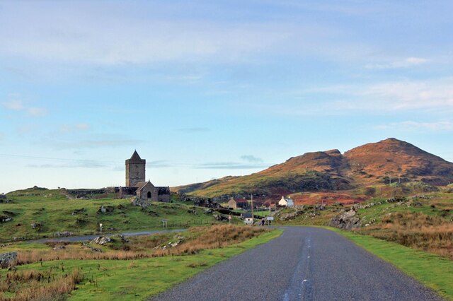
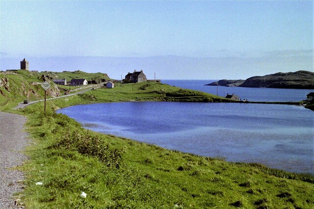
St Clement's Church, Rodel

St Clement's Church (Scottish Gaelic: Tùr Chliamhainn, meaning Clement's Tower) is a late fifteenth-century or early sixteenth-century church in Rodel...

Roineabhal

Roineabhal is a hill in Harris, in the Western Isles of Scotland. The granite on the summit plateau of the mountain is anorthosite, and is similar in composition...

Outer Hebrides

The Outer Hebrides ( HEB-rid-eez) or Western Isles (Scottish Gaelic: na h-Eileanan Siar [nə ˈhelanən ˈʃiəɾ] , na h-Eileanan an Iar [nə ˈhelanən əɲ ˈiəɾ...

Harris Superquarry

The Harris Super Quarry was a super quarry at Lingerbay, Harris, Scotland proposed by Redland Aggregates in 1991. The plan was to surface mine aggregate...

Lingarabay

Lingarabay (also Lingerabay or Lingerbay; Scottish Gaelic: Lingreabhagh) is a small coastal settlement on Harris, in the Outer Hebrides of Scotland. It...
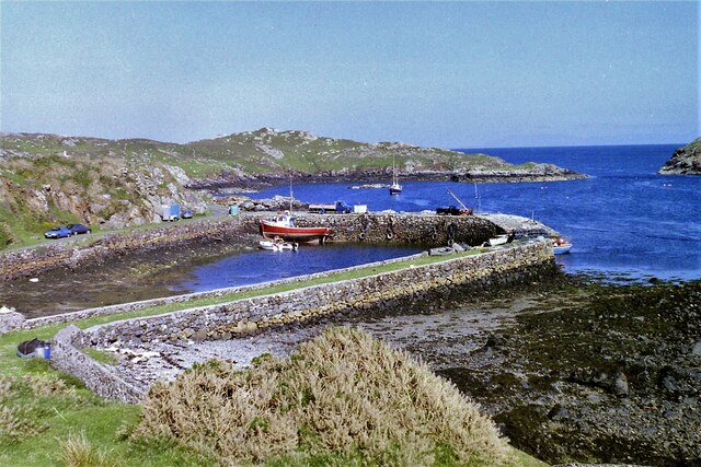
Leverburgh

Leverburgh (Scottish Gaelic: An t-Òb [ən̪ˠ ˈt̪ɔːp]) is the second largest village, after Tarbert, in Harris in the Outer Hebrides of Scotland. Leverburgh...
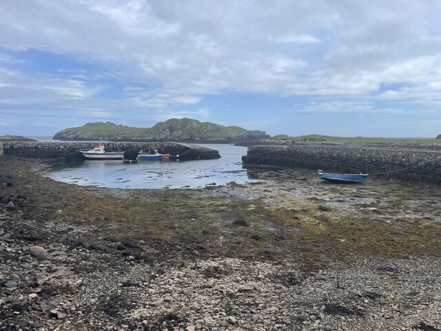
Sgarabhaigh

Sgarabhaigh (formerly anglicised Scaravay) is a small uninhabited island in the eastern end of the Sound of Harris, Outer Hebrides, Scotland. It is approximately...

Nearby Amenities

Located within 500m of 57.736277,-6.9815859
Sgeir na Muice
Place: locality
Lat/Long: 57.7358602/-6.9766768
The data included in this document is from www.openstreetmap.org. The data is made available under ODbL.

Have you been to Holm?

Leave your review of Holm below (or comments, questions and feedback).