Sgeir Liath

Island in Ross-shire

Scotland

Sgeir Liath

Across Braigh Mor to Loch Reasort entrance guarded by Taran Mor Across Braigh Mor to Loch Reasort entrance guarded by Taran Mor
Across Braigh Mor to Loch Reasort entrance guarded by Taran Mor Credit: Simon Bonney

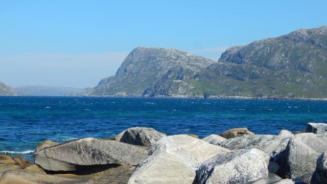
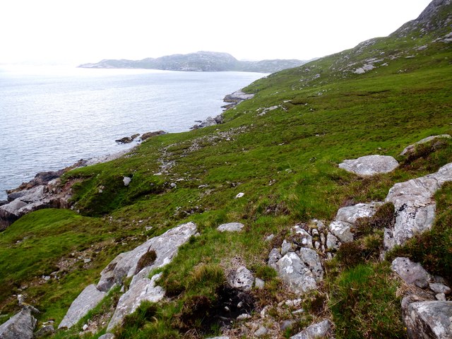
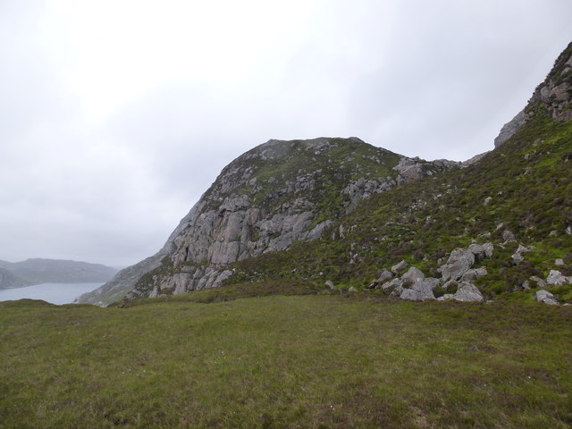
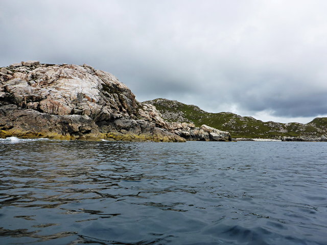
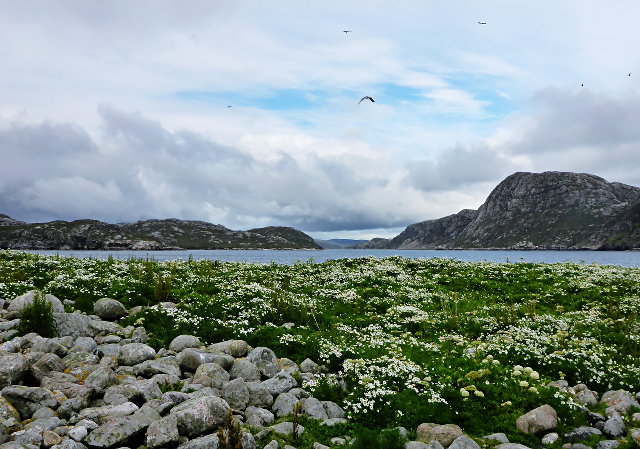
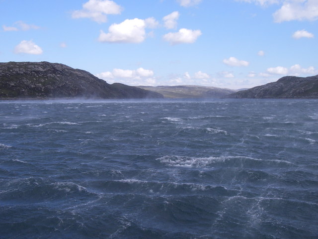
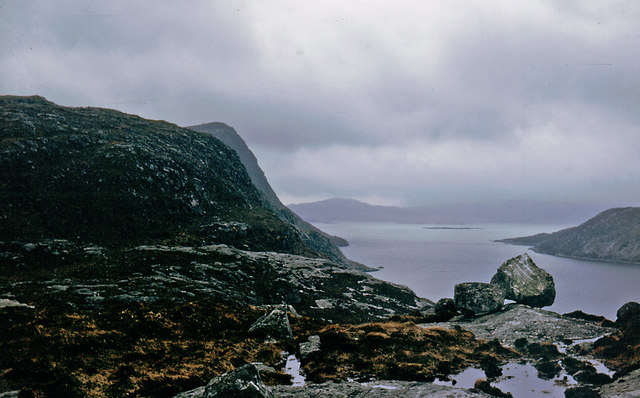
Sgeir Liath is a small uninhabited island located in the Inner Sound of the Scottish Highlands, off the coast of Ross-shire. The island is part of the Inner Hebrides archipelago and sits approximately 4 kilometers southwest of the village of Applecross.

With an area of only 0.6 hectares, Sgeir Liath is a rocky and rugged island that rises steeply from the surrounding sea. It is characterized by its distinctive gray appearance, which is reflected in its Gaelic name meaning "gray skerry." The island is primarily composed of ancient Lewisian gneiss, a type of metamorphic rock that forms the foundation of the Scottish Highlands.

Due to its remote location and challenging terrain, Sgeir Liath is not easily accessible to visitors. However, the island is known for its rich marine biodiversity and is a popular spot for birdwatching and diving. The surrounding waters are home to a variety of seabirds, including guillemots, razorbills, and puffins, which nest on the cliffs and feed in the nearby sea.

Sgeir Liath is also renowned for its underwater landscapes, with a diverse range of marine life, including kelp forests, coral reefs, and various species of fish and crustaceans. Divers often explore the surrounding waters to discover the underwater wonders of this area.

Overall, Sgeir Liath is a small but significant island in the Inner Sound, offering unique opportunities for nature enthusiasts and divers to explore its rugged landscapes and diverse marine ecosystems.

If you have any feedback on the listing, please let us know in the comments section below.

Sgeir Liath Images

Images are sourced within 2km of 58.034548/-7.0351653 or Grid Reference NB0216. Thanks to Geograph Open Source API. All images are credited.
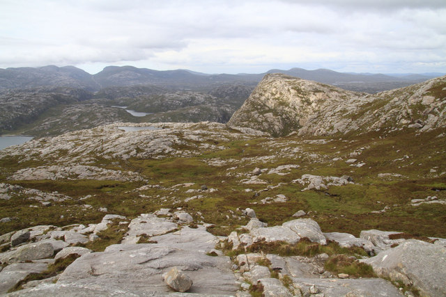
Across Braigh Mor to Loch Reasort entrance guarded by Taran Mor Across Braigh Mor to Loch Reasort entrance guarded by Taran Mor
Across Braigh Mor to Loch Reasort entrance guarded by Taran Mor
Erratic Boulder above Loch nan Uidhean An erratic boulder between Loch nan Uidhean and Loch na Creage 
Lionta in the Aird Mhor.
Erratic Boulder above Loch nan Uidhean
An erratic boulder between Loch nan Uidhean and Loch na Creage Lionta in the Aird Mhor.
Across Gleann Dubh from An Sith On the LAMM 2018, descending to the coast through the gap on the horizon
Across Gleann Dubh from An Sith
On the LAMM 2018, descending to the coast through the gap on the horizon
Unnamed Lochan From Lag Mor The peak in the right middle distance is Tarran Mor, with Loch nan Uidheam immediately behind the subject.
Unnamed Lochan From Lag Mor
The peak in the right middle distance is Tarran Mor, with Loch nan Uidheam immediately behind the subject.
Taran Mòr Taran Mòr, 303 metres, with its rarely visited remote trig point.  This hill is a subMarilyn and HuMP with a prominence of 146 metres.
This was the chosen location for Martin Richardson's 2000th HuMP with Alan Holmes, George Morl, Iain Brown, Jim Bloomer, Michael Earnshaw and Douglas Law on a mixed weather day but what a wonderful summit to be on. A total HuMP count for the seven walkers was 14,145 HuMPs ie an average of over 2,000. Leosaval, Ceartaval, Sgianait and finally Taran Mòr, just under 22 KM and 1588 metres of ascent for 3 subMarilyns and a subHuMP
Taran Mòr
Taran Mòr, 303 metres, with its rarely visited remote trig point. This hill is a subMarilyn and HuMP with a prominence of 146 metres. This was the chosen location for Martin Richardson's 2000th HuMP with Alan Holmes, George Morl, Iain Brown, Jim Bloomer, Michael Earnshaw and Douglas Law on a mixed weather day but what a wonderful summit to be on. A total HuMP count for the seven walkers was 14,145 HuMPs ie an average of over 2,000. Leosaval, Ceartaval, Sgianait and finally Taran Mòr, just under 22 KM and 1588 metres of ascent for 3 subMarilyns and a subHuMP
Meall nan Sidhean [Meall nan Sithean] Last of four HuMPs around the north of Loch Resort on an Alan Holmes RIB trip. What a brilliant day. The summit is one of 3 tops in a line with the middle rocky top being lower than the tops on either side.
Name: Meall nan Sidhean [Meall nan Sithean]
Hill number: 4948
Height: 177m / 581ft
Area: 24A: Lewis and Nearby Islands
Class: Hu,1
Grid ref: NB024175 (est)
Drop: 122m
Col: 55m  NB039176
Meall nan Sidhean [Meall nan Sithean]
Last of four HuMPs around the north of Loch Resort on an Alan Holmes RIB trip. What a brilliant day. The summit is one of 3 tops in a line with the middle rocky top being lower than the tops on either side. Name: Meall nan Sidhean [Meall nan Sithean] Hill number: 4948 Height: 177m / 581ft Area: 24A: Lewis and Nearby Islands Class: Hu,1 Grid ref: NB024175 (est) Drop: 122m Col: 55m NB039176
View Across To Coirnis View across to Coirnis, 77 metres and a P30 hill. This is close to the spot that the RIB tender boat collected us after climbing Meall nan Sidhean.
View Across To Coirnis
View across to Coirnis, 77 metres and a P30 hill. This is close to the spot that the RIB tender boat collected us after climbing Meall nan Sidhean.
Descending Cnoc Breac Beag Descending Cnoc Breac Beag after Sgianait and heading for Taran Mòr with a view towards Loch Uiseadair.
Descending Cnoc Breac Beag
Descending Cnoc Breac Beag after Sgianait and heading for Taran Mòr with a view towards Loch Uiseadair.
Heading For Taran Mòr Heading For Taran Mòr with a view towards Lochan na Sgàil.
Heading For Taran Mòr
Heading For Taran Mòr with a view towards Lochan na Sgàil.
East coast of Loch Crabhadail Sheep/deer tracks contour around the coast from Haranais towards mouth of Loch Reasort.
East coast of Loch Crabhadail
Sheep/deer tracks contour around the coast from Haranais towards mouth of Loch Reasort.
South coast of Loch Reasort from Grobadh na h-Uinneag Looking east along south side of Loch Reasort. Sheep/deer track leads up around the south of the buttress in centre of photo to upper stretch of Allt na Sgail burn.
South coast of Loch Reasort from Grobadh na h-Uinneag
Looking east along south side of Loch Reasort. Sheep/deer track leads up around the south of the buttress in centre of photo to upper stretch of Allt na Sgail burn.
Loch Reasort from north shore Looking down Loch Reasort from the north shore after a 13 mile cycle/walk from Uig
Loch Reasort from north shore
Looking down Loch Reasort from the north shore after a 13 mile cycle/walk from Uig
Boulder on North Shore of Loch Reasort Reached this point after a 13 mile cycle/walk from Uig. While sitting here the bay was circled by a golden eagle.
Boulder on North Shore of Loch Reasort
Reached this point after a 13 mile cycle/walk from Uig. While sitting here the bay was circled by a golden eagle.
A deep cleft
A deep cleft
Rubha Càrnach
Rubha Càrnach
Grèine Sgeir With a selection of the local bird life.
Grèine Sgeir
With a selection of the local bird life.
Entering Loch Reasort into the teeth of a Gale. Mouth of Loch Reasort, view Eastwards.
Entering Loch Reasort into the teeth of a Gale.
Mouth of Loch Reasort, view Eastwards.
South side of Loch Resort Very rough terrain.  We had hoped to walk to Taran Mor, the symmetrical hill in the distance, but gave up at Taran Beag.  We had started from Kinlochresort.
South side of Loch Resort
Very rough terrain. We had hoped to walk to Taran Mor, the symmetrical hill in the distance, but gave up at Taran Beag. We had started from Kinlochresort.
Show me another place!

Sgeir Liath is located at Grid Ref: NB0216 (Lat: 58.034548, Lng: -7.0351653)

Unitary Authority: Na h-Eileanan an Iar

Police Authority: Highlands and Islands

What 3 Words

///lavished.leaned.proceeds. Near Tarbert, Na h-Eileanan Siar

Related Wikis

Tiorga Mor

Tiorga Mor (679 m) is a mountain in Harris, in the Outer Hebrides of Scotland. The most westerly peak of the high mountains of Harris, it is a very rugged...

Scarp, Scotland

Scarp (Scottish Gaelic: An Sgarp) is an uninhabited island in the Outer Hebrides of Scotland, west of Hushinish on Harris. Once inhabited, the island was...

Hushinish

Huisinish or Hushinish (Scottish Gaelic Hùisinis) is a remote place on the west coast of Harris in the Outer Hebrides of Scotland. It lies at the end of...

Uladail

Uladail is a location near Amhuinnsuidhe, on Harris in the Outer Hebrides, Scotland. Sron Ulladail is a sheer cliff which at 370 metres (1,210 ft) is one...

Nearby Amenities

Located within 500m of 58.034548,-7.0351653
Created By: dmgroom_coastlines
Lat/Long: 58.03079/-7.03159
Created By: dmgroom_coastlines
Lat/Long: 58.03091/-7.0311
Created By: dmgroom_coastlines
Lat/Long: 58.03115/-7.03012
Created By: dmgroom_coastlines
Lat/Long: 58.0314/-7.02962
Created By: dmgroom_coastlines
Lat/Long: 58.0358/-7.03276
The data included in this document is from www.openstreetmap.org. The data is made available under ODbL.

Have you been to Sgeir Liath?

Leave your review of Sgeir Liath below (or comments, questions and feedback).