Gleann na h-Àirde Mòire
Valley in Ross-shire
Scotland
Gleann na h-Àirde Mòire

Gleann na h-Àirde Mòire, also known as the Great Glen, is a valley located in Ross-shire, Scotland. It stretches for approximately 100 kilometers (62 miles) from Inverness in the northeast to Fort William in the southwest. The valley was formed by a geological fault line that runs along its length, resulting in a series of stunning lochs, including Loch Lochy, Loch Oich, and the famous Loch Ness.
The Great Glen is characterized by its dramatic landscapes, with steep mountains rising on either side of the valley. Ben Nevis, the highest peak in the British Isles, is located near the western end of the Great Glen, adding to its scenic beauty. The valley is a popular destination for outdoor enthusiasts, offering a range of activities such as hiking, cycling, and boating.
The Caledonian Canal, a major waterway connecting the east and west coasts of Scotland, runs through the Great Glen. This canal was constructed in the early 19th century and provides a picturesque way to explore the valley. Along the canal, there are several charming villages and towns, including Fort Augustus and Drumnadrochit, which offer amenities and accommodations for visitors.
Gleann na h-Àirde Mòire is not only renowned for its natural beauty but also for its rich history and folklore. The area is home to several castles, such as Urquhart Castle, which overlooks Loch Ness. The Loch Ness Monster, or Nessie, is a legendary creature said to inhabit the depths of the loch, attracting tourists from around the world.
Overall, Gleann na h-Àirde Mòire, with its stunning landscapes, historic landmarks, and mythical allure, is a must-visit destination for those seeking to immerse themselves in the beauty and mystery of the Scottish Highlands.
If you have any feedback on the listing, please let us know in the comments section below.
Gleann na h-Àirde Mòire Images
Images are sourced within 2km of 58.040631/-7.0415025 or Grid Reference NB0216. Thanks to Geograph Open Source API. All images are credited.
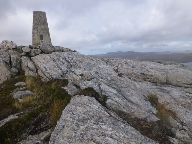

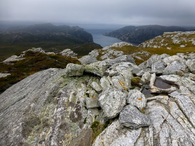
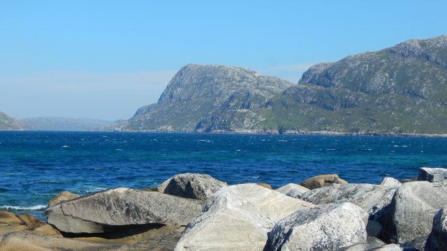
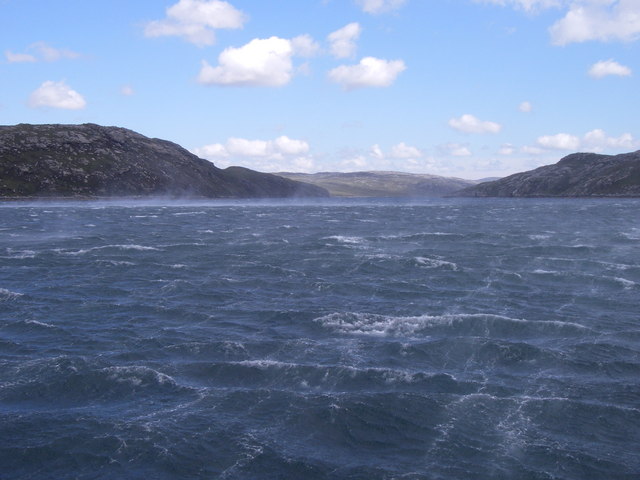
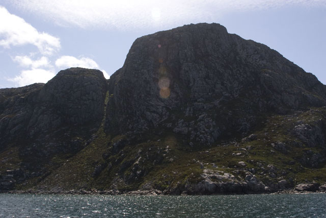
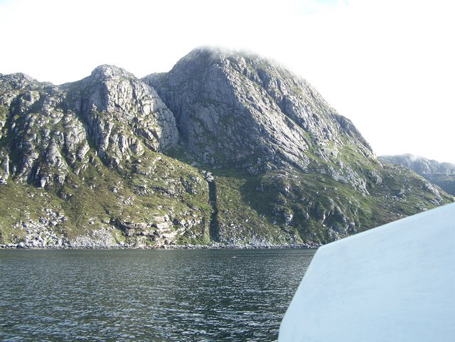
![Meall nan Sidhean [Meall nan Sithean] Last of four HuMPs around the north of Loch Resort on an Alan Holmes RIB trip. What a brilliant day. The summit is one of 3 tops in a line with the middle rocky top being lower than the tops on either side.
Name: Meall nan Sidhean [Meall nan Sithean]
Hill number: 4948
Height: 177m / 581ft
Area: 24A: Lewis and Nearby Islands
Class: Hu,1
Grid ref: NB024175 (est)
Drop: 122m
Col: 55m NB039176](https://s3.geograph.org.uk/geophotos/03/68/33/3683303_09647516.jpg)


Gleann na h-Àirde Mòire is located at Grid Ref: NB0216 (Lat: 58.040631, Lng: -7.0415025)
Unitary Authority: Na h-Eileanan an Iar
Police Authority: Highlands and Islands
What 3 Words
///things.invoices.fooling. Near Tarbert, Na h-Eileanan Siar
Related Wikis

Scarp, Scotland
Scarp (Scottish Gaelic: An Sgarp) is an uninhabited island in the Outer Hebrides of Scotland, west of Hushinish on Harris. Once inhabited, the island was...

Hushinish
Huisinish or Hushinish (Scottish Gaelic Hùisinis) is a remote place on the west coast of Harris in the Outer Hebrides of Scotland. It lies at the end of...

Tiorga Mor
Tiorga Mor (679 m) is a mountain in Harris, in the Outer Hebrides of Scotland. The most westerly peak of the high mountains of Harris, it is a very rugged...

Uladail
Uladail is a location near Amhuinnsuidhe, on Harris in the Outer Hebrides, Scotland. Sron Ulladail is a sheer cliff which at 370 metres (1,210 ft) is one...
Nearby Amenities
Located within 500m of 58.040631,-7.0415025Have you been to Gleann na h-Àirde Mòire?
Leave your review of Gleann na h-Àirde Mòire below (or comments, questions and feedback).