The Dell

Corrie (Glacial Valley) in Kent

England

The Dell

Houses opposite the end of Heathclose Road
Houses opposite the end of Heathclose Road Credit: David Martin

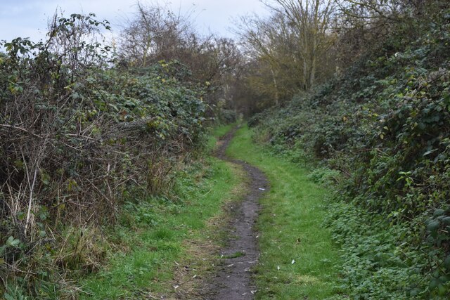
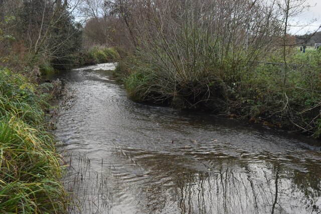
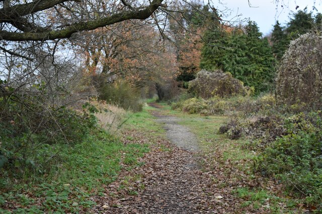
The Dell, Kent, also known as Corrie (Glacial Valley), is a prominent geographical feature located in the county of Kent, southeastern England. This glacial valley, known as a corrie, was formed during the Pleistocene period when glaciers covered large parts of the British Isles.

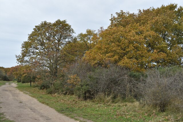
The Dell is situated in the Kent Downs Area of Outstanding Natural Beauty, surrounded by rolling hills and picturesque countryside. It is approximately 1.5 miles in length and exhibits a distinct U-shaped profile, characteristic of glacial erosion. The valley floor is relatively flat, while the sides are steep and often covered in vegetation.

The Dell is renowned for its natural beauty and attracts numerous visitors throughout the year. It offers a tranquil escape from the bustling city life, providing opportunities for hiking, nature walks, and bird watching. The valley is home to a diverse range of flora and fauna, including rare plant species and various bird species.

In addition to its natural significance, The Dell also holds historical and cultural value. It is believed to have been used by early human settlers, as evidenced by the discovery of flint tools and other artifacts in the area. The Dell is also associated with local folklore and legends, adding to its mystique and charm.

Overall, The Dell, Kent, is a captivating glacial valley that showcases the geological history of the region. Its combination of natural beauty, recreational opportunities, and cultural significance make it a popular destination for both locals and tourists alike.

If you have any feedback on the listing, please let us know in the comments section below.
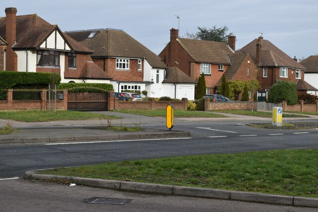
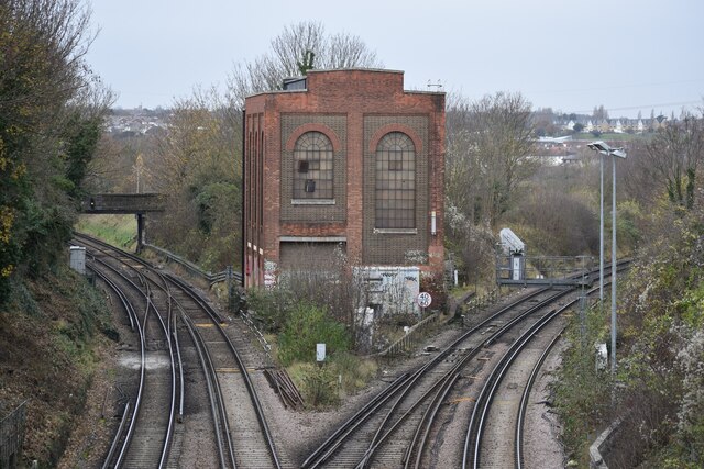
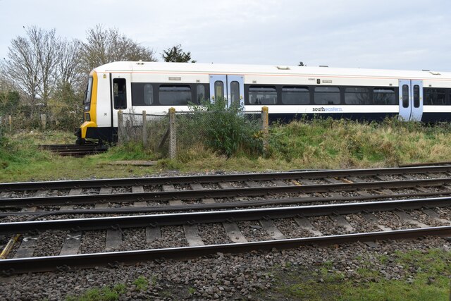
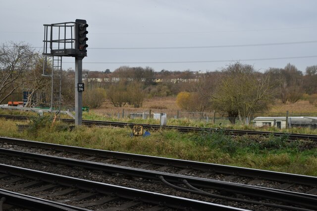
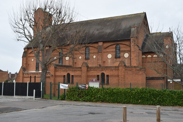
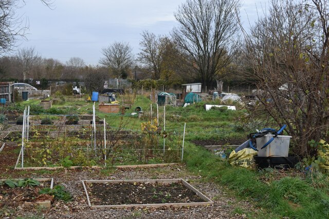
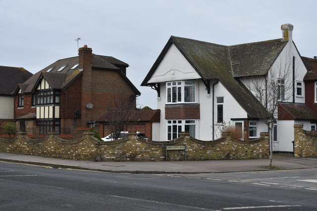
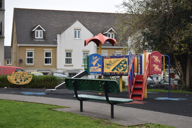
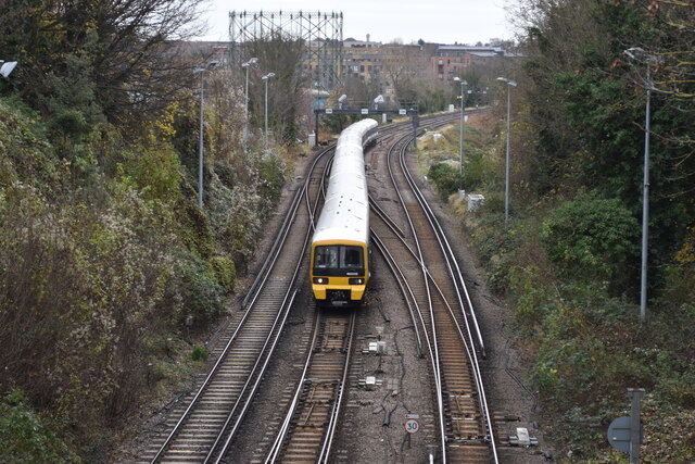
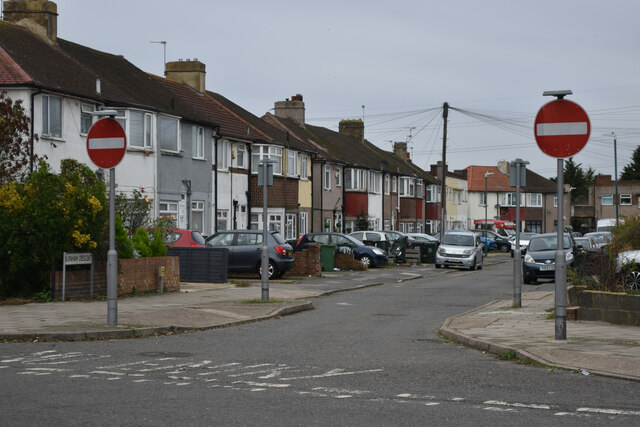
The Dell Images

Images are sourced within 2km of 51.454943/0.18806278 or Grid Reference TQ5275. Thanks to Geograph Open Source API. All images are credited.

Houses opposite the end of Heathclose Road
Path on Dartford Heath
Dartford Junction Tracks on the left to Crayford, tracks on the right to Slade Green.
Dartford Junction
Tracks on the left to Crayford, tracks on the right to Slade Green.
Train waiting at former level crossing The train is waiting on the curve from Slade Green, heading onto the Dartford Loop Line towards Crayford.
Train waiting at former level crossing
The train is waiting on the curve from Slade Green, heading onto the Dartford Loop Line towards Crayford.
View across railway north of Wilmot Road
Christ Church Dartford
Allotments behind Marcet Road houses
Houses on the corner of Christchurch Road
Colourful play area on a grey day
London-bound train leaving Dartford
Play area beside Holy Trinity Primary School
No entry to Burnham Crescent
Path beside the railway at Braeburn Park Nature reserve south of the Dartford Loop Line.
Path beside the railway at Braeburn Park
Nature reserve south of the Dartford Loop Line.
River Cray at Hall Place
Crayford Town Hall
Crayford Town Hall
Crayford Railway Station
Footpath in Braeburn Park
The Corner Pin public house
Show me another place!

The Dell is located at Grid Ref: TQ5275 (Lat: 51.454943, Lng: 0.18806278)

Unitary Authority: Bexley

Police Authority: Metropolitan

What 3 Words

///poet.rips.piano. Near Dartford, Kent

Related Wikis

Haberdashers' Crayford Academy

Haberdashers' Crayford Academy (formerly Haberdashers' Aske's Crayford Academy) is a mixed secondary school and sixth form with academy status sponsored...

Barnes Cray

Barnes Cray is an area in south-east London within the London Borough of Bexley. It is located on the Greater London border with Kent, bordering the Dartford...

Crayford Urban District

Crayford was a local government district in north west Kent from 1920 to 1965 around the town of Crayford. As well as Crayford, it included Barnehurst...

Noviomagus Cantiacorum

Noviomagus, also known as Noviomagus Cantiacorum (Latin for "Noviomagus of the Cantiaci") to distinguish it from other places with that name, was a Roman...

Nearby Amenities

Located within 500m of 51.454943,0.18806278
Mini Roundabout
Lat/Long: 51.4545755/0.1913535
Ref GB Tflcid: RWG180713
Traffic Calming: cushion
Lat/Long: 51.4549471/0.1942084
Turning Circle
Lat/Long: 51.4558867/0.1836121
Ref GB Tflcid: RWG182426
Traffic Calming: hump
Lat/Long: 51.4590632/0.1880716
Ref GB Tflcid: RWG182480
Traffic Calming: hump
Lat/Long: 51.4567632/0.1946457
Power: tower
Lat/Long: 51.4525689/0.1911522
Turning Circle
Lat/Long: 51.4540547/0.1904508
Crossing
Lat/Long: 51.4558277/0.1871686
Bus Stop
Stanham Place
Bus: yes
Naptan AtcoCode: 490012543E
Naptan Bearing: E
Naptan CommonName: Stanham Place
Naptan Street: CRAYFORD WAY
Naptan Verified: no
Public Transport: platform
Ref: 49819
Source Ref: naptan
Lat/Long: 51.4546628/0.1920637
Bus Stop
The Rise
Bus: yes
Naptan AtcoCode: 490013537W
Naptan Bearing: W
Naptan CommonName: The Rise
Naptan Street: CRAYFORD WAY
Naptan Verified: no
Public Transport: platform
Ref: 57226
Source Ref: naptan
Lat/Long: 51.4539278/0.1858102
Bus Stop
Village Green Road
Naptan AtcoCode: 490014077E
Naptan Bearing: E
Naptan CommonName: Village Green Road
Naptan Street: CRAYFORD WAY
Naptan Verified: no
Public Transport: platform
Lat/Long: 51.4542196/0.1869044
Bus Stop
Village Green Road
Naptan AtcoCode: 490014077W
Naptan Bearing: W
Naptan CommonName: Village Green Road
Naptan Street: CRAYFORD WAY
Naptan Verified: no
Public Transport: platform
Lat/Long: 51.4544391/0.1896624
Bus Stop
Mill Place
Bus: yes
Naptan AtcoCode: 490013433N
Naptan Bearing: N
Naptan CommonName: The Jolly Farmers
Naptan Indicator: Stop
Naptan Verified: no
Public Transport: platform
Ref: 51040
Source Ref: naptan
Lat/Long: 51.4557306/0.1951616
Bus Stop
The Jolly Farmers Open Space
Bus: yes
Naptan AtcoCode: 490013433S
Naptan Bearing: S
Naptan CommonName: The Jolly Farmers
Naptan Indicator: Stop
Naptan Verified: no
Public Transport: platform
Ref: 75082
Source Ref: naptan
Lat/Long: 51.4547583/0.1938246
Ref GB Tflcid: RWG182478
Traffic Calming: hump
Lat/Long: 51.4571769/0.1943244
Ref GB Tflcid: RWG182466
Traffic Calming: hump
Lat/Long: 51.4575851/0.1937097
Power: tower
Lat/Long: 51.4536105/0.1882001
Power: tower
Lat/Long: 51.4529774/0.1837812
Crossing
Lat/Long: 51.4543424/0.1881358
Ref GB Tflcid: RWG182488
Traffic Calming: hump
Lat/Long: 51.4563211/0.1914637
Crossing
Crossing: unmarked
Crossing Island: yes
Crossing Markings: no
Lat/Long: 51.4546606/0.1913379
Crossing
Crossing: unmarked
Crossing Island: yes
Crossing Markings: no
Lat/Long: 51.4545892/0.1915813
Crossing
Crossing: unmarked
Crossing Island: yes
Crossing Markings: no
Lat/Long: 51.4545689/0.1912085
Crossing
Crossing: unmarked
Crossing Island: yes
Crossing Markings: no
Lat/Long: 51.4544957/0.191369
Barrier: swing_gate
Locked: yes
Material: metal
Lat/Long: 51.4529621/0.1918061
Barrier: kissing_gate
Material: metal
Lat/Long: 51.4538506/0.1887014
Barrier: kissing_gate
Material: metal
Lat/Long: 51.4533173/0.1850405
Barrier: yes
Material: metal
Note: 1m is left clear
Lat/Long: 51.4535296/0.1839026
Barrier: kissing_gate
Material: metal
Lat/Long: 51.4533311/0.1840006
Barrier: bollard
Material: concrete
Lat/Long: 51.4533063/0.1840136
The Rise
Bus: yes
Public Transport: stop_position
Lat/Long: 51.4539707/0.1857985
Entrance: yes
Lat/Long: 51.4552416/0.1905934
Board Type: nature
Information: board
Material: metal
Note: There are two boards here; it's not duplication
Tourism: information
Lat/Long: 51.4538673/0.1875119
Board Type: nature
Information: board
Material: metal
Note: There are two boards here; it's not duplication
Tourism: information
Lat/Long: 51.4538573/0.1874837
Crossing
Lat/Long: 51.4533117/0.1917513
Crossing
Lat/Long: 51.4534159/0.1916679
Traffic Calming: hump
Lat/Long: 51.4537262/0.1893961
Traffic Calming: hump
Lat/Long: 51.4536058/0.1904151
Traffic Calming: hump
Lat/Long: 51.4534802/0.1914774
Give Way
Direction: forward
Lat/Long: 51.4534641/0.1916132
Waste Basket
Waste: dog_excrement
Lat/Long: 51.4529531/0.1918765
Barnes Cray
Place: suburb
Source: OS OpenMap Local
Lat/Long: 51.4553884/0.1936238
Crossing
Lat/Long: 51.4562181/0.1904757
Traffic Calming: choker
Lat/Long: 51.4543529/0.1881505
Bicycle Parking
Bicycle Parking: stands
Capacity: 8
Ref GB Tflcid: RWG171748
Lat/Long: 51.4513732/0.1874664
Bicycle Parking
Bicycle Parking: stands
Capacity: 4
Ref GB Tflcid: RWG171755
Lat/Long: 51.4507188/0.1885628
Bicycle Parking
Bicycle Parking: stands
Capacity: 4
Ref GB Tflcid: RWG171753
Lat/Long: 51.4506353/0.1880629
Bicycle Parking
Bicycle Parking: stands
Capacity: 20
Ref GB Tflcid: RWG171767
Lat/Long: 51.4523736/0.1889992
Bicycle Parking
Bicycle Parking: stands
Capacity: 8
Ref GB Tflcid: RWG171747
Lat/Long: 51.4512488/0.1874413
Bicycle Parking
Bicycle Parking: stands
Capacity: 8
Ref GB Tflcid: RWG171746
Lat/Long: 51.4519077/0.187421
Bicycle Parking
Bicycle Parking: stands
Capacity: 4
Ref GB Tflcid: RWG171754
Lat/Long: 51.4507654/0.1888975
Bicycle Parking
Bicycle Parking: stands
Capacity: 8
Ref GB Tflcid: RWG171749
Lat/Long: 51.450878/0.1875191
Bicycle Parking
Bicycle Parking: stands
Capacity: 10
Ref GB Tflcid: RWG171752
Lat/Long: 51.450685/0.1879655
Ref GB Tflcid: RWG182445
Traffic Calming: hump
Lat/Long: 51.4584999/0.19011
Ref GB Tflcid: RWG182447
Traffic Calming: hump
Lat/Long: 51.4584483/0.1892602
Ref GB Tflcid: RWG182440
Traffic Calming: hump
Lat/Long: 51.458564/0.1911367
Ref GB Tflcid: RWG182450
Traffic Calming: hump
Lat/Long: 51.4579378/0.1895185
Ref GB Tflcid: RWG182420
Traffic Calming: hump
Lat/Long: 51.4578335/0.1886369
Ref GB Tflcid: RWG182437
Traffic Calming: hump
Lat/Long: 51.4588358/0.1906184
Ref GB Tflcid: RWG182457
Traffic Calming: hump
Lat/Long: 51.4582137/0.1906793
Ref GB Tflcid: RWG182454
Traffic Calming: hump
Lat/Long: 51.4577462/0.1907353
Ref GB Tflcid: RWG182398
Traffic Calming: hump
Lat/Long: 51.4553335/0.1918933
Ref GB Tflcid: RWG182764
Traffic Calming: hump
Lat/Long: 51.4537842/0.1915799
Ref GB Tflcid: RWG182470
Traffic Calming: hump
Lat/Long: 51.4574552/0.1925289
Ref GB Tflcid: RWG182788
Traffic Calming: hump
Lat/Long: 51.4541138/0.1888514
Ref GB Tflcid: RWG180839
Traffic Calming: cushion
Lat/Long: 51.4544591/0.1891156
Ref GB Tflcid: RWG182401
Traffic Calming: hump
Lat/Long: 51.455579/0.1935031
Ref GB Tflcid: RWG182891
Traffic Calming: hump
Lat/Long: 51.4515632/0.1849883
Ref GB Tflcid: RWG182474
Traffic Calming: hump
Lat/Long: 51.4573718/0.1913754
Ref GB Tflcid: RWG182899
Traffic Calming: hump
Lat/Long: 51.4511932/0.1869231
Ref GB Tflcid: RWG182413
Traffic Calming: hump
Lat/Long: 51.4570947/0.1908406
Ref GB Tflcid: RWG182417
Traffic Calming: hump
Lat/Long: 51.457466/0.1889841
Ref GB Tflcid: RWG182395
Traffic Calming: hump
Lat/Long: 51.4550756/0.1912455
Ref GB Tflcid: RWG182485
Traffic Calming: hump
Lat/Long: 51.4565028/0.1925098
Ref GB Tflcid: RWG182650
Traffic Calming: hump
Lat/Long: 51.4557543/0.1884048
Ref GB Tflcid: RWG182396
Traffic Calming: hump
Lat/Long: 51.4558711/0.1911157
Ref GB Tflcid: RWG182896
Traffic Calming: hump
Lat/Long: 51.4520451/0.1870174
Ref GB Tflcid: RWG182904
Traffic Calming: hump
Lat/Long: 51.450708/0.1864496
Ref GB Tflcid: RWG182645
Traffic Calming: hump
Lat/Long: 51.4559838/0.1880115
Ref GB Tflcid: RWG182868
Traffic Calming: hump
Lat/Long: 51.4525127/0.1828555
Ref GB Tflcid: RWG182867
Traffic Calming: hump
Lat/Long: 51.4523879/0.1826267
Ref GB Tflcid: RWG182410
Traffic Calming: hump
Lat/Long: 51.4565429/0.1909708
Ref GB Tflcid: RWG182399
Traffic Calming: hump
Lat/Long: 51.4557415/0.1908496
Ref GB Tflcid: RWG182416
Traffic Calming: hump
Lat/Long: 51.4572839/0.1902807
Ref GB Tflcid: RWG182769
Traffic Calming: hump
Lat/Long: 51.4546541/0.1928219
Ref GB Tflcid: RWG182406
Traffic Calming: hump
Lat/Long: 51.4552945/0.1885373
Ref GB Tflcid: RWG182779
Traffic Calming: hump
Lat/Long: 51.4546761/0.188756
Ref GB Tflcid: RWG182866
Traffic Calming: hump
Lat/Long: 51.4519392/0.1831737
Ref GB Tflcid: RWG182656
Traffic Calming: hump
Lat/Long: 51.4561173/0.1892852
Ref GB Tflcid: RWG182404
Traffic Calming: hump
Lat/Long: 51.4555982/0.189213
Ref GB Tflcid: RWG182893
Traffic Calming: hump
Lat/Long: 51.4524121/0.186111
The data included in this document is from www.openstreetmap.org. The data is made available under ODbL.

Have you been to The Dell?

Leave your review of The Dell below (or comments, questions and feedback).