Barne's Cray
Settlement in Kent
England
Barne's Cray
Barne's Cray is a small village located in the London Borough of Bexley, in the county of Kent, England. Situated approximately 15 miles southeast of central London, it is a part of the Greater London urban area while retaining its Kentish identity. The village is nestled between the towns of Crayford and St. Mary Cray, and it is surrounded by picturesque countryside and green spaces.
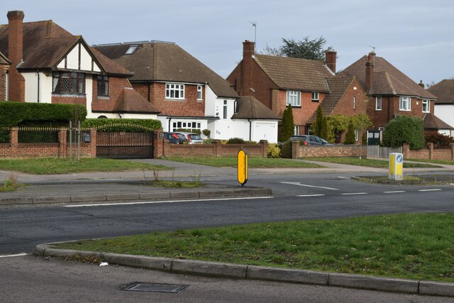
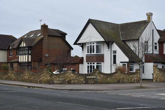
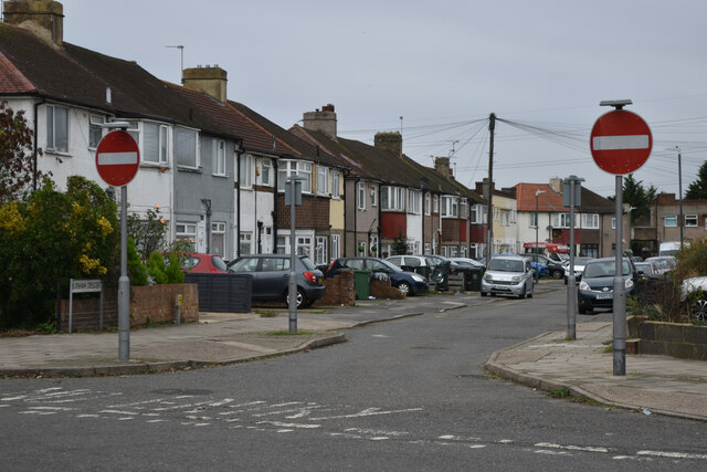
Barne's Cray has a rich history, with evidence of human settlement dating back to the Roman era. In the past, it was primarily an agricultural area, but over time, it has transformed into a residential community with a mix of housing styles, including traditional cottages and modern developments.
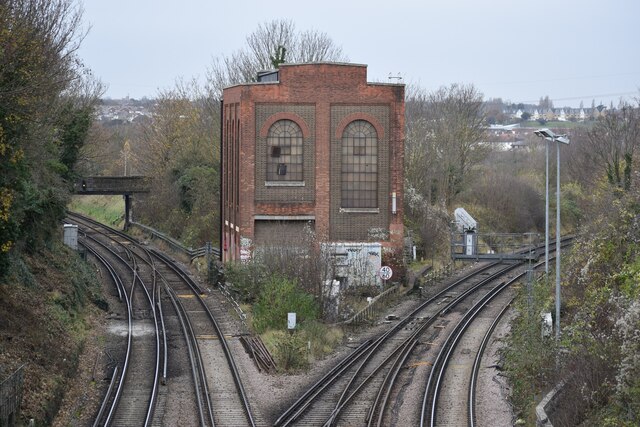
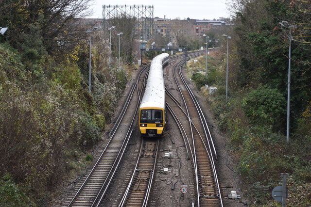
The village benefits from excellent transport links, with the A20 road passing nearby, providing easy access to London and other major towns in Kent. There are also several bus routes serving the area, ensuring convenient connectivity to neighboring towns.
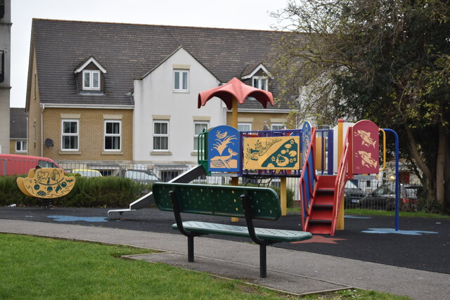
Despite its small size, Barne's Cray offers a range of amenities for its residents. The village has a primary school, making it an attractive location for families. Additionally, there are local shops, pubs, and restaurants, providing essential services and social opportunities for the community.
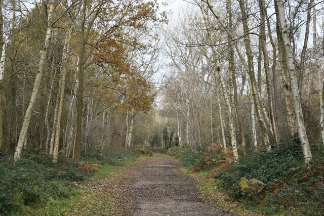
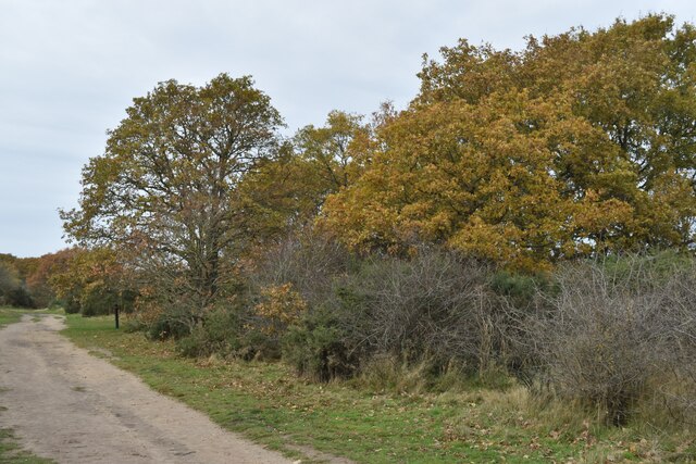
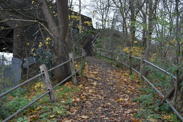
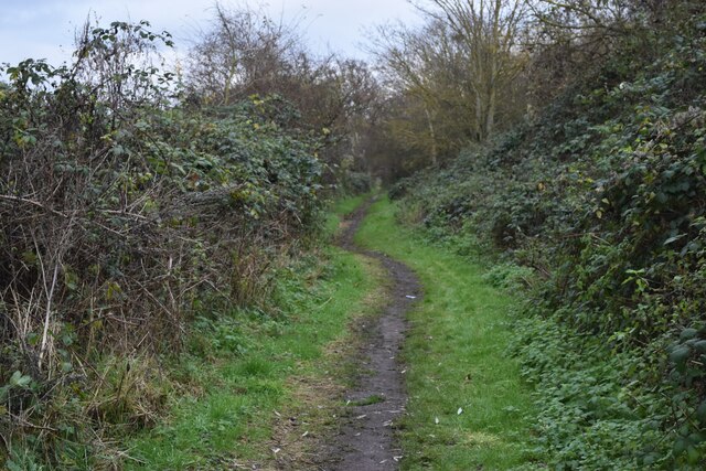
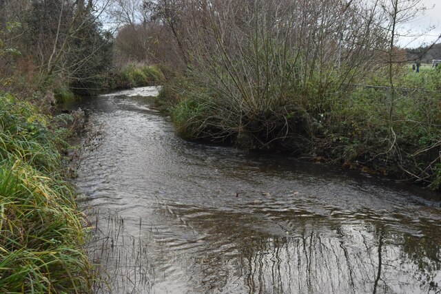
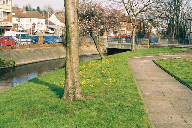
Surrounded by beautiful countryside, Barne's Cray offers plenty of opportunities for outdoor activities. The nearby River Cray and neighboring parks provide scenic walking and cycling routes, while several golf courses are within a short drive from the village.
In summary, Barne's Cray is a charming village that combines a rural feel with the convenience of being within commuting distance of London. Its historical significance, range of amenities, and natural beauty make it an appealing place to live.
If you have any feedback on the listing, please let us know in the comments section below.
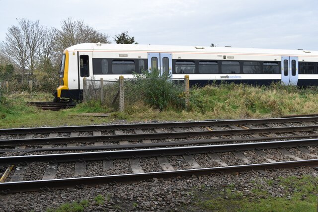
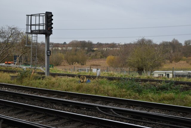
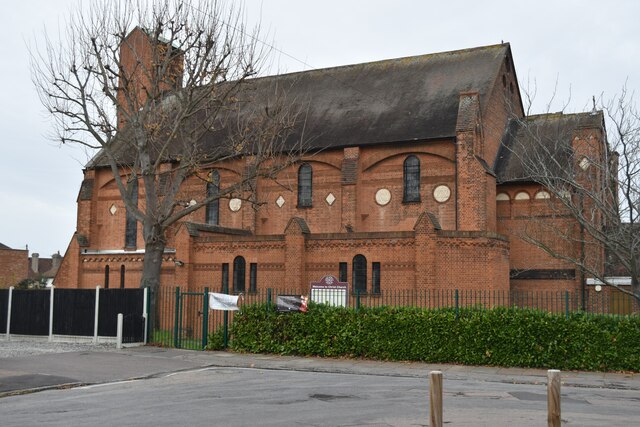
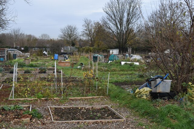
Barne's Cray Images
Images are sourced within 2km of 51.453583/0.18624169 or Grid Reference TQ5275. Thanks to Geograph Open Source API. All images are credited.

Barne's Cray is located at Grid Ref: TQ5275 (Lat: 51.453583, Lng: 0.18624169)
Unitary Authority: Bexley
Police Authority: Metropolitan
What 3 Words
///theme.skills.port. Near Dartford, Kent
Nearby Locations
Related Wikis

Haberdashers' Crayford Academy
Haberdashers' Crayford Academy (formerly Haberdashers' Aske's Crayford Academy) is a mixed secondary school and sixth form with academy status sponsored...

Crayford Urban District
Crayford was a local government district in north west Kent from 1920 to 1965 around the town of Crayford. As well as Crayford, it included Barnehurst...
Noviomagus Cantiacorum
Noviomagus, also known as Noviomagus Cantiacorum (Latin for "Noviomagus of the Cantiaci") to distinguish it from other places with that name, was a Roman...
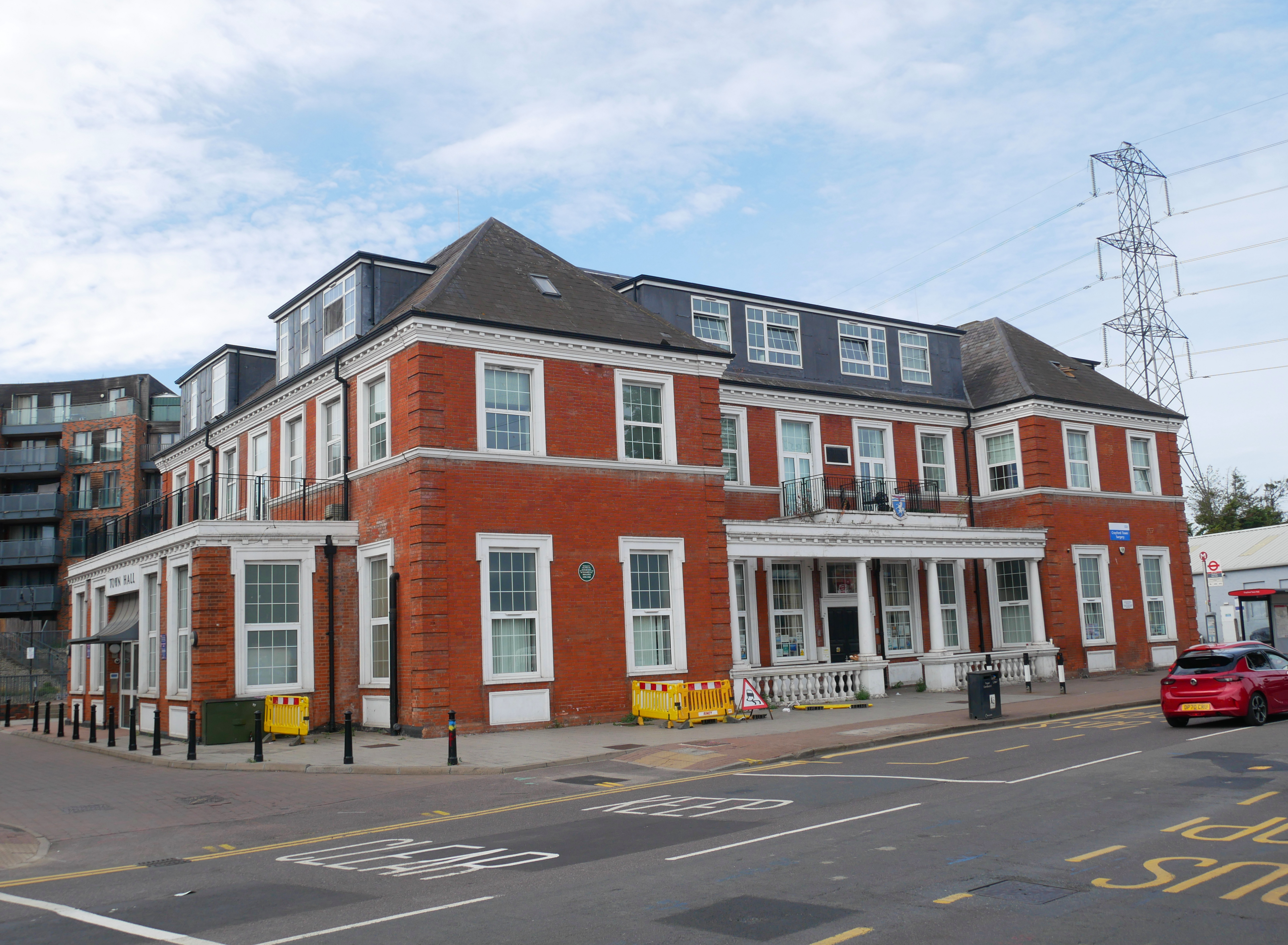
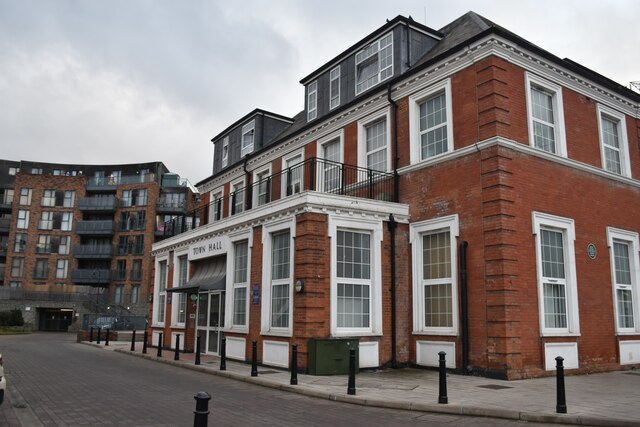
Crayford Town Hall
Crayford Town Hall is a former municipal building in Crayford Road, Crayford, London, England. The structure, which was formerly the offices and meeting...
Crayford
Crayford is a town and electoral ward in South East London, England, within the London Borough of Bexley. It lies east of Bexleyheath and north west of...
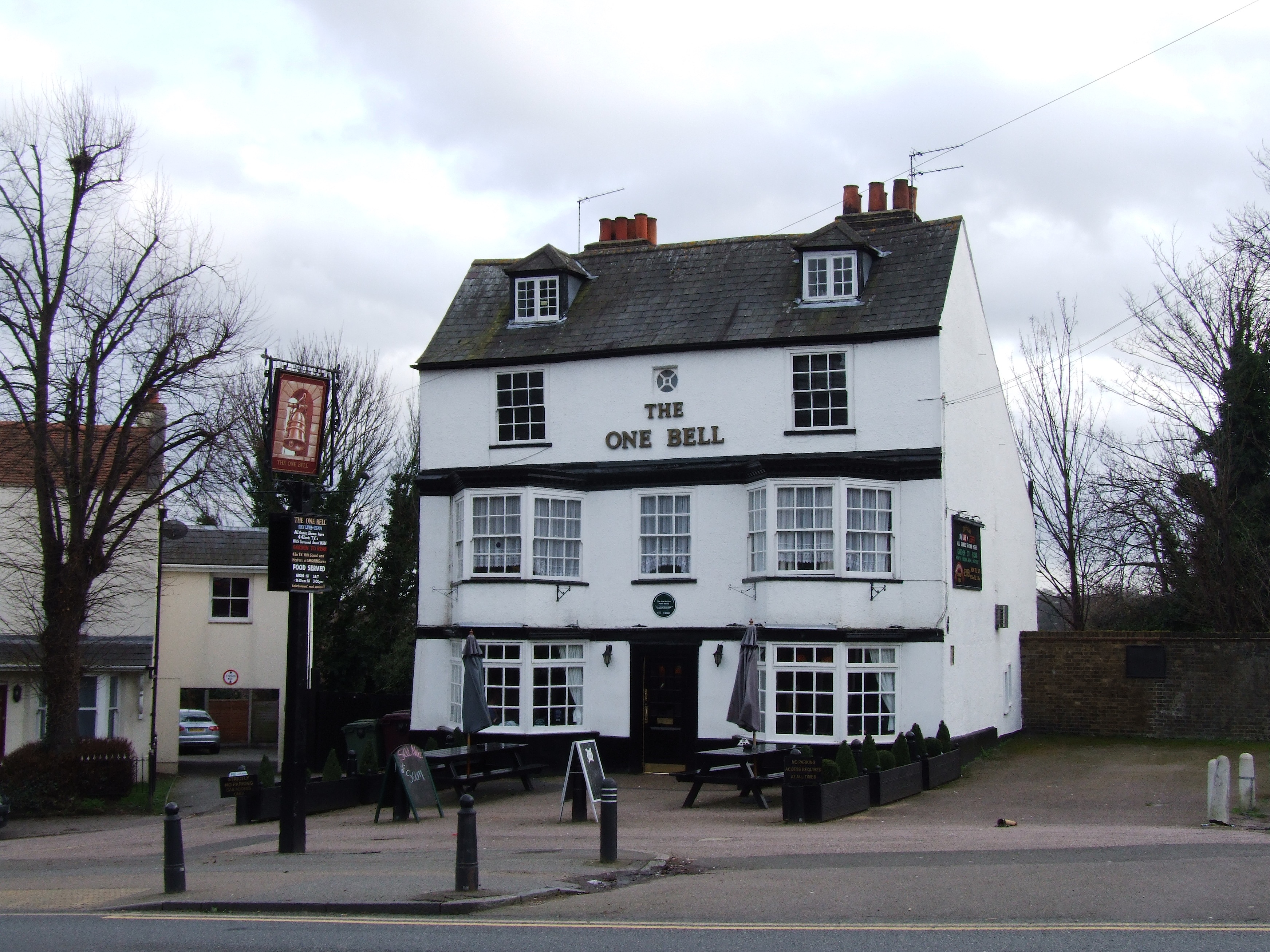
One Bell
One Bell is a pub in Old Road, Crayford, London, England. It is a Grade II listed building, that dates from the 18th century and is owned by former professional...
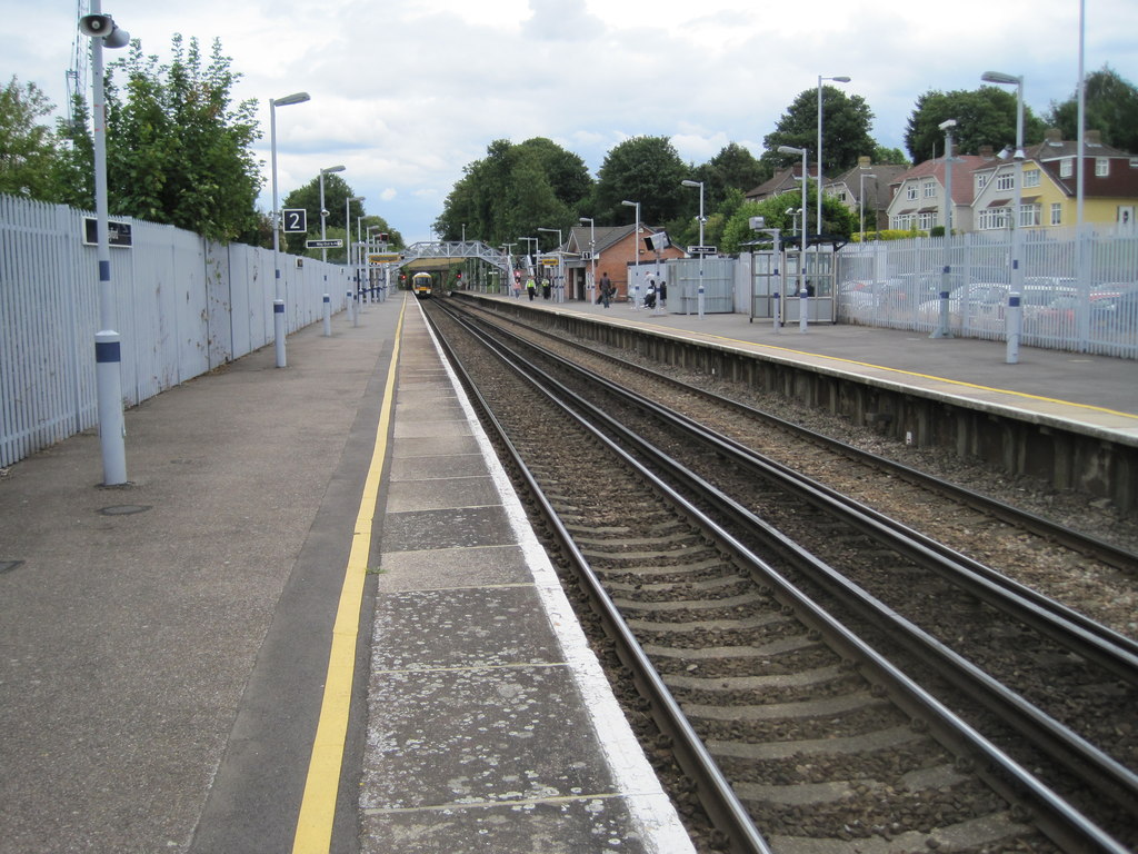
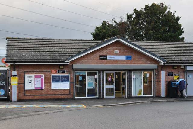
Crayford railway station
Crayford railway station is in the London Borough of Bexley in south-east London, in Travelcard Zone 6. It is 15 miles 25 chains (24.6 km) down the line...

Barnes Cray
Barnes Cray is an area in south-east London within the London Borough of Bexley. It is located on the Greater London border with Kent, bordering the Dartford...
Nearby Amenities
Located within 500m of 51.453583,0.18624169Have you been to Barne's Cray?
Leave your review of Barne's Cray below (or comments, questions and feedback).