Lower Woolston
Settlement in Somerset South Somerset
England
Lower Woolston
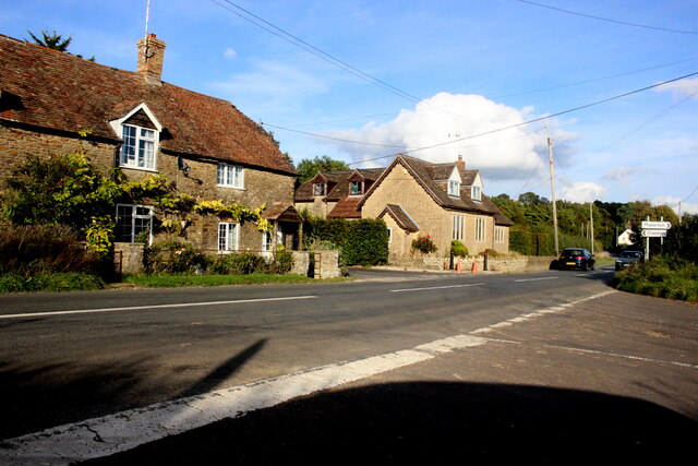
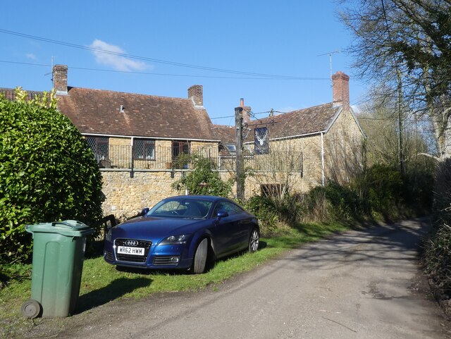
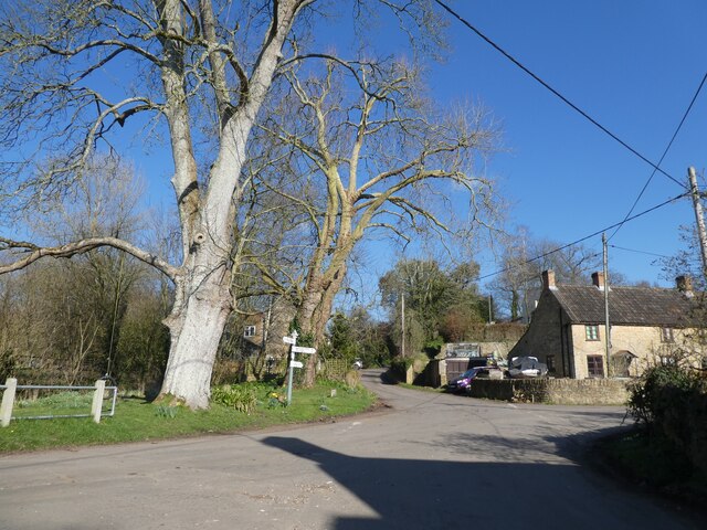
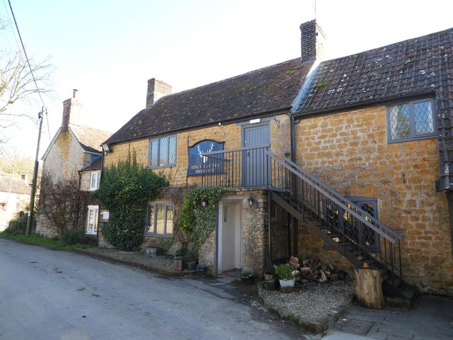
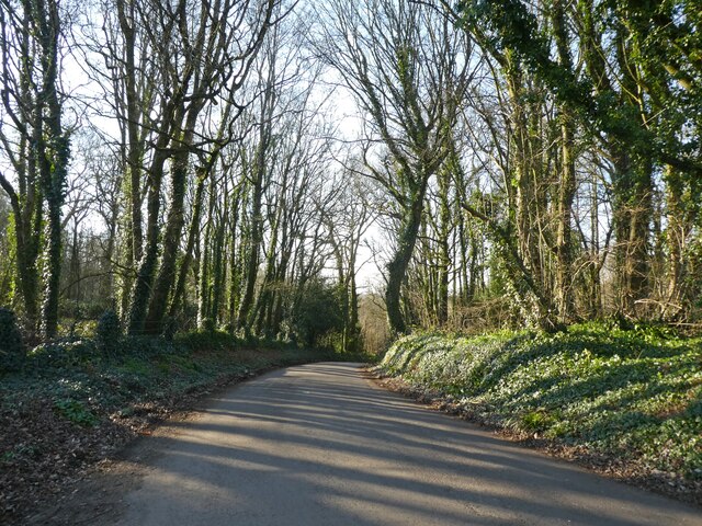
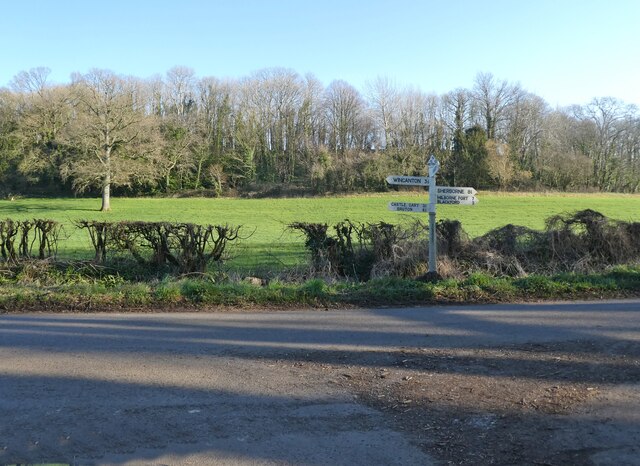
Lower Woolston is a small village located in the county of Somerset, England. Situated in the picturesque countryside, it lies on the southern edge of the Exmoor National Park. The village is part of the parish of Brompton Regis and is surrounded by rolling hills, lush green fields, and dense woodlands.
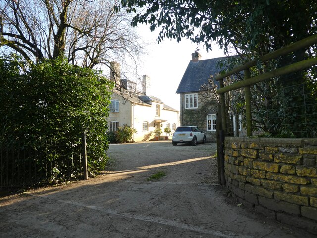
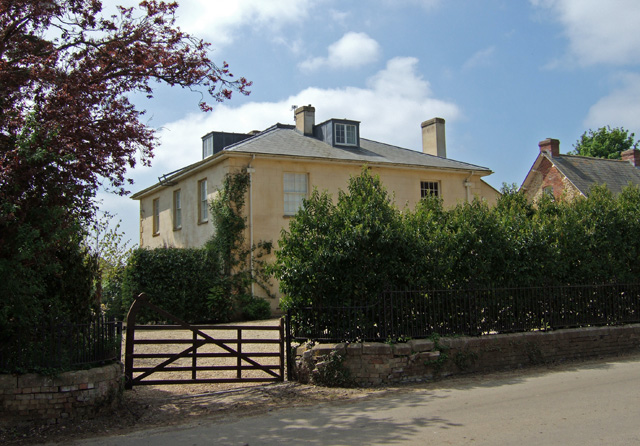
With a population of around 200 residents, Lower Woolston is a close-knit community where people enjoy a peaceful and quiet lifestyle. The village is characterized by charming stone cottages and traditional houses, giving it a quintessential English countryside feel.
There are limited amenities in Lower Woolston, with a small community hall serving as a hub for social gatherings and events. However, residents can access a wider range of facilities in the nearby town of Minehead, which is approximately 8 miles away. Here, they can find schools, shops, healthcare services, and recreational facilities.
The village is an ideal location for outdoor enthusiasts, as it offers easy access to the stunning natural beauty of Exmoor National Park. There are numerous walking trails and cycling routes in the area, allowing residents to explore the breathtaking landscape and observe the local wildlife.
Lower Woolston benefits from its proximity to the coast, with the popular seaside resort of Minehead just a short drive away. Here, residents can enjoy sandy beaches, a vibrant promenade, and a variety of tourist attractions.
Overall, Lower Woolston offers a tranquil and picturesque setting for those seeking a peaceful rural lifestyle, while still providing easy access to nearby amenities and the natural wonders of Exmoor National Park.
If you have any feedback on the listing, please let us know in the comments section below.
Lower Woolston Images
Images are sourced within 2km of 51.043678/-2.494234 or Grid Reference ST6527. Thanks to Geograph Open Source API. All images are credited.


Lower Woolston is located at Grid Ref: ST6527 (Lat: 51.043678, Lng: -2.494234)
Administrative County: Somerset
District: South Somerset
Police Authority: Avon and Somerset
What 3 Words
///aunts.cobble.across. Near Castle Cary, Somerset
Nearby Locations
Related Wikis
Woolston Manor
Woolston Manor was an estate that covered about 230 acres (93 ha) in Somerset, England. It included arable land and pasturage, worked by a tenant farmer...

Blackford, Somerset
Blackford is a village and former civil parish in the county of Somerset, England, beside the A303 road, 4 miles (6.4 km) south west of Wincanton. There...
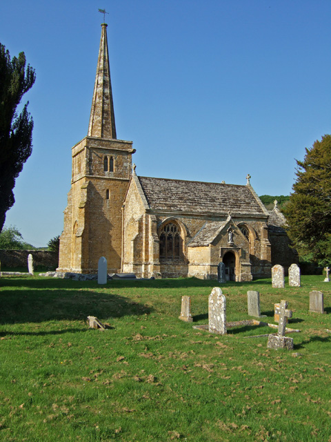
Church of St Michael, Blackford
The Anglican Church of St Michael in Blackford, Somerset, England was built in the 11th or 12th century. It is a Grade II* listed building. == History... ==
Compton Pauncefoot
Compton Pauncefoot is a village and civil parish in Somerset, England, situated beside the A303 road, 5 miles (8.0 km) south west of Wincanton in the South...
Church of St Mary, Compton Pauncefoot
The Anglican Church of St Mary in Compton Pauncefoot, Somerset, England was built in the 15th century. It is a Grade II* listed building. == History... ==

North Cadbury Court
North Cadbury Court in North Cadbury, Somerset, England is a country house built around 1580–1610, by Sir Francis Hastings. It has been designated as a...

Church of St Michael, North Cadbury
The Church of St Michael in North Cadbury, Somerset, England, dates from 1417, although the tower was built a few years earlier. It has been designated...
North Cadbury
North Cadbury is a village and civil parish 5 miles (8 km) west of Wincanton, by the River Cam, in the Unitary Authority of Somerset, England. It shares...
Nearby Amenities
Located within 500m of 51.043678,-2.494234Have you been to Lower Woolston?
Leave your review of Lower Woolston below (or comments, questions and feedback).