Woodside, Lower
Settlement in Hertfordshire Welwyn Hatfield
England
Woodside, Lower
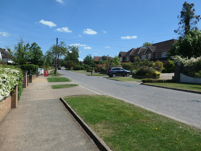
Woodside is a charming village located in the Lower Hertfordshire district of England. Situated in the southeastern part of the county, it is nestled amidst picturesque countryside, offering residents and visitors a peaceful and idyllic setting. The village is part of the East Hertfordshire district and falls within the civil parish of Bramfield.
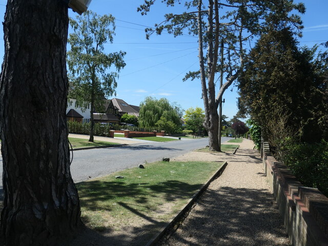
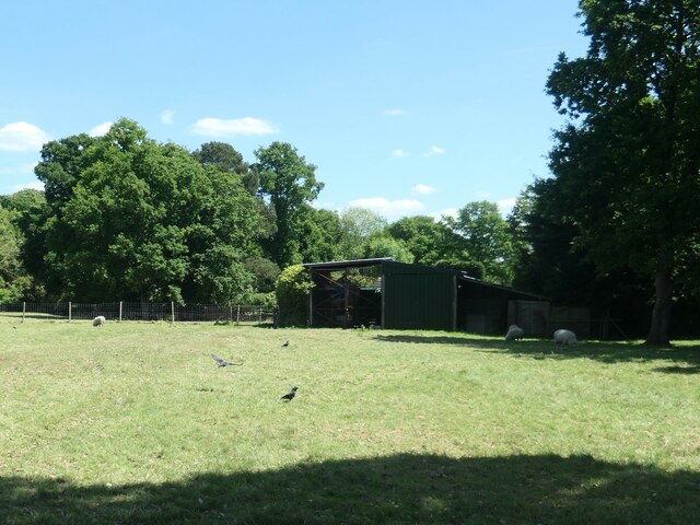
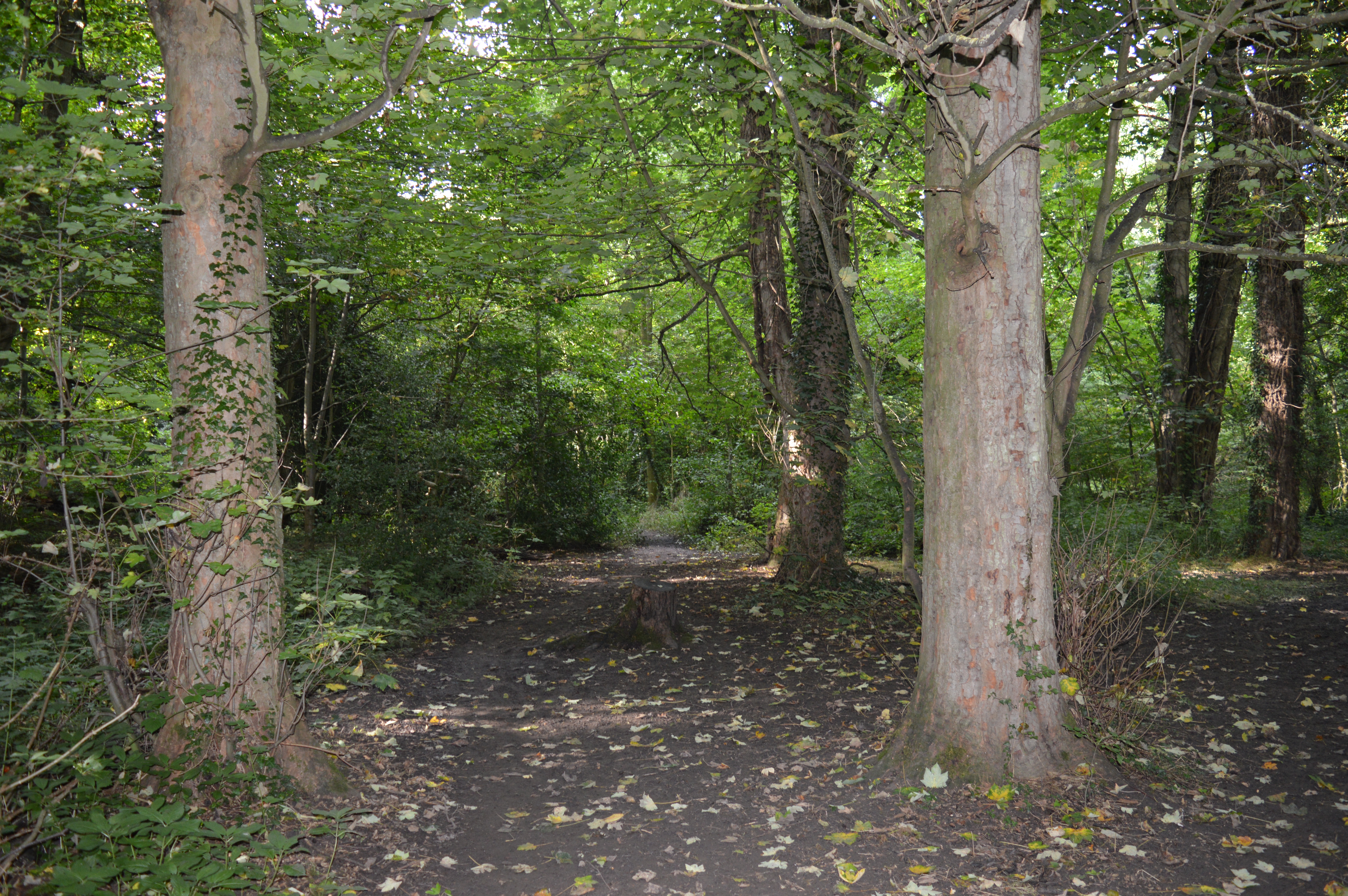
Woodside boasts a close-knit community and a rich history that dates back centuries. The area is known for its scenic beauty, with rolling hills, lush greenery, and scenic walking trails that attract nature enthusiasts and outdoor lovers. The village is surrounded by a patchwork of fields and farmland, adding to its rural charm.
Despite its tranquil atmosphere, Woodside is conveniently located near major transport links, making it easily accessible. The nearby town of Hertford provides residents with a range of amenities, including shops, restaurants, and leisure facilities. Additionally, the bustling city of London is just a short train ride away, offering residents the opportunity to enjoy both the peacefulness of village life and the hustle and bustle of the city.
Woodside is home to a close-knit community that takes pride in its village identity. There is a village hall that serves as a hub for local events and gatherings, fostering a strong sense of community spirit. The village also has a primary school, which provides education to the local children.
Overall, Woodside is a picturesque village that offers a blend of rural tranquility and convenient access to amenities. With its beautiful surroundings and strong community spirit, it is a desirable place to live for those seeking a peaceful and idyllic lifestyle in Lower Hertfordshire.
If you have any feedback on the listing, please let us know in the comments section below.
Woodside, Lower Images
Images are sourced within 2km of 51.740579/-0.194614 or Grid Reference TL2406. Thanks to Geograph Open Source API. All images are credited.
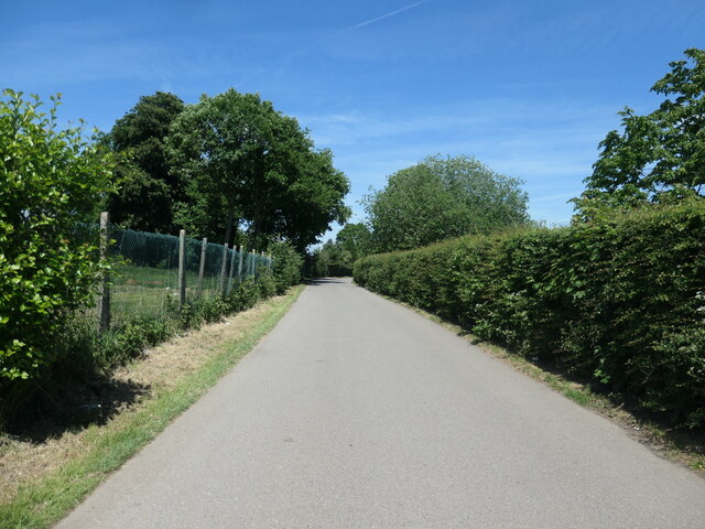
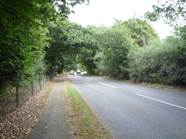
![Brookmans Park Golf Club [1] Seen from Golf Club Road.](https://s1.geograph.org.uk/geophotos/07/18/68/7186825_f900b103.jpg)
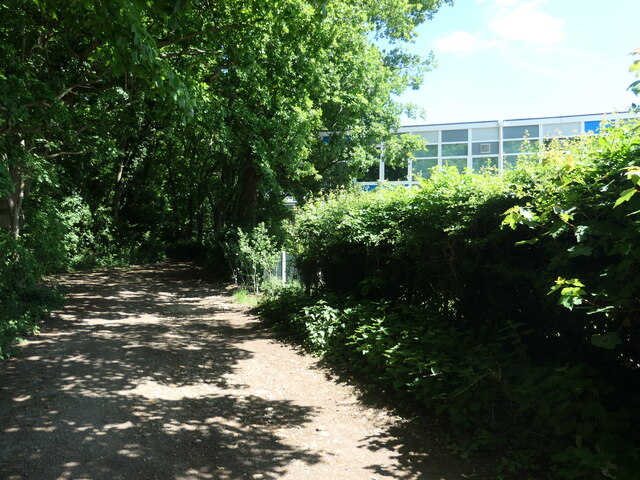
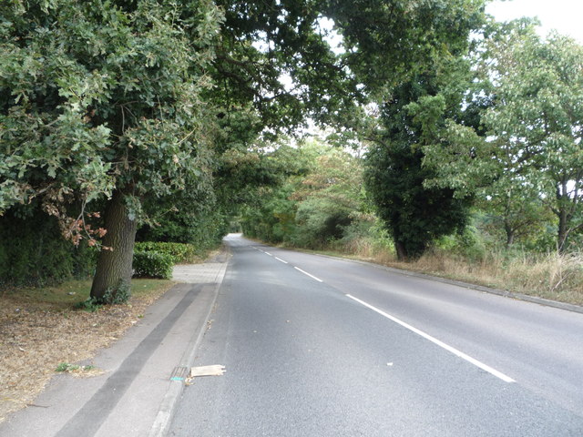
![Brookmans Park Golf Club [2] The large tree probably dates from the original parkland here.](https://s1.geograph.org.uk/geophotos/07/18/68/7186829_5cc61305.jpg)
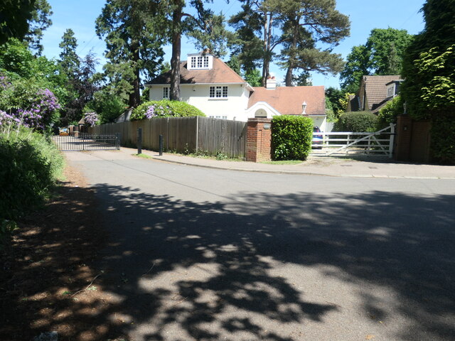
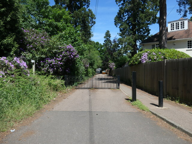
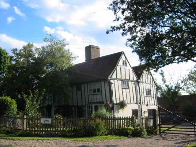
![The Lodge, at the north end of The Drive Where the former drive from a large house called Brookman's Park met the Great North Road [now the A1000].](https://s3.geograph.org.uk/geophotos/07/18/68/7186851_0b93d307.jpg)
![Bell Lane bus stop, Bell Bar On the northbound side of the Great North Road [A1000].](https://s3.geograph.org.uk/geophotos/07/18/68/7186855_dbce2e2d.jpg)
Woodside, Lower is located at Grid Ref: TL2406 (Lat: 51.740579, Lng: -0.194614)
Administrative County: Hertfordshire
District: Welwyn Hatfield
Police Authority: Hertfordshire
What 3 Words
///filled.bump.tune. Near Hatfield, Hertfordshire
Nearby Locations
Related Wikis

Welham Green railway station
Welham Green railway station serves the village of Welham Green in Hertfordshire, England. It is 15 miles 50 chains (25.1 km) measured from King's Cross...

1870 Hatfield rail crash
On a frosty Boxing day in 1870 the driver of the 16:25 from London King's Cross to Peterborough noticed an 'uneasy oscillation' as he passed over Marshmoor...
Bell Bar
Bell Bar is a hamlet located in North Mymms, Hertfordshire, England. It is in the civil parish of North Mymms. Thought to be named after the ancient Bell...
Chancellor's School
Chancellor's School is a coeducational secondary school and sixth form located in Brookmans Park, Hertfordshire, England. == History == The school opened...

Welham Green
Welham Green is a village in the parish of North Mymms, Hertfordshire, England. It is situated a mile to the west of the Great North Road coaching route...
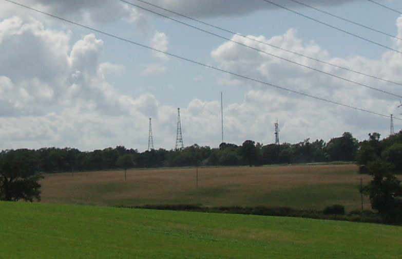
Brookmans Park transmitting station
The Brookmans Park transmitting station is a facility for medium wave (MW) broadcasting at Brookmans Park, Hertfordshire, north of London (grid reference...
Hope and Anchor, Welham Green
The Hope and Anchor was a grade II listed public house Welham Green, Hertfordshire. It is based on a 17th-century timber frame with later additions....
Gobions Wood
Gobions Wood is a 36 hectare nature reserve managed by the Herts and Middlesex Wildlife Trust in Brookmans Park in Hertfordshire. The site was formerly...
Nearby Amenities
Located within 500m of 51.740579,-0.194614Have you been to Woodside, Lower?
Leave your review of Woodside, Lower below (or comments, questions and feedback).