Woolston Copse
Wood, Forest in Somerset South Somerset
England
Woolston Copse
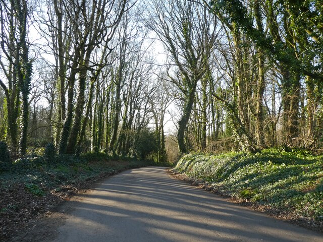
Woolston Copse is a picturesque woodland located in Somerset, England. Spread across an area of approximately 50 acres, this ancient wood has been a prominent natural feature of the region for centuries. Situated near the village of Woolston, the copse is easily accessible and offers a tranquil retreat for nature enthusiasts and walkers alike.
The copse primarily consists of broadleaf trees, including oak, beech, and ash, which create a dense canopy and provide a vibrant display of colors throughout the year. The woodland floor is covered with a rich carpet of wildflowers and ferns, adding to its beauty and biodiversity. The copse is also home to a variety of wildlife, including deer, badgers, and a diverse range of bird species.
Walking through Woolston Copse, visitors can enjoy the peaceful sounds of nature as they explore the numerous footpaths that wind their way through the wood. These paths offer stunning views of the surrounding countryside and provide ample opportunities for birdwatching and photography.
The copse is managed by the local wildlife trust, ensuring its preservation and protection. It is a popular destination for both locals and tourists, who come to appreciate its natural beauty and enjoy the recreational activities it offers.
Overall, Woolston Copse is a charming woodland in Somerset, offering visitors a chance to immerse themselves in nature and experience the tranquility of this ancient forest.
If you have any feedback on the listing, please let us know in the comments section below.
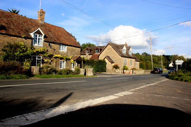
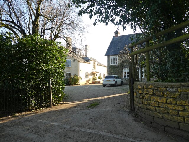
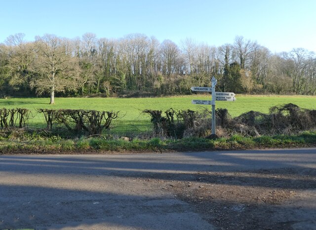
Woolston Copse Images
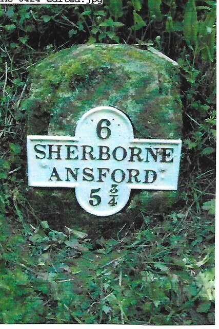
Images are sourced within 2km of 51.043373/-2.4907345 or Grid Reference ST6527. Thanks to Geograph Open Source API. All images are credited.


Woolston Copse is located at Grid Ref: ST6527 (Lat: 51.043373, Lng: -2.4907345)
Administrative County: Somerset
District: South Somerset
Police Authority: Avon and Somerset
What 3 Words
///crunch.waged.massaged. Near Castle Cary, Somerset
Nearby Locations
Related Wikis
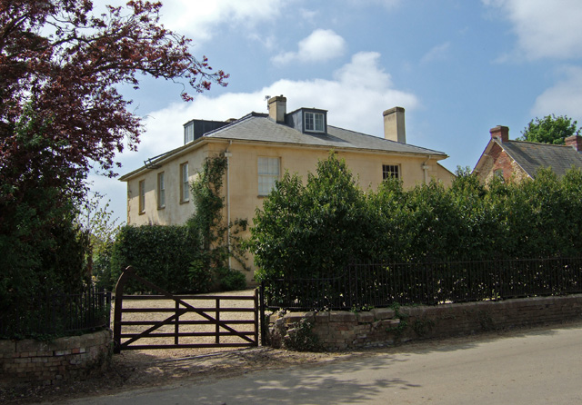
Woolston Manor
Woolston Manor was an estate that covered about 230 acres (93 ha) in Somerset, England. It included arable land and pasturage, worked by a tenant farmer...

Blackford, Somerset
Blackford is a village and former civil parish in the county of Somerset, England, beside the A303 road, 4 miles (6.4 km) south west of Wincanton. There...
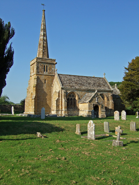
Church of St Michael, Blackford
The Anglican Church of St Michael in Blackford, Somerset, England was built in the 11th or 12th century. It is a Grade II* listed building. == History... ==
Compton Pauncefoot
Compton Pauncefoot is a village and civil parish in Somerset, England, situated beside the A303 road, 5 miles (8.0 km) south west of Wincanton in the South...
Nearby Amenities
Located within 500m of 51.043373,-2.4907345Have you been to Woolston Copse?
Leave your review of Woolston Copse below (or comments, questions and feedback).