Scotland Coppice

Wood, Forest in Worcestershire Malvern Hills

England

Scotland Coppice

Eastham church Eastham church in the Teme valley is located in a farmyard. Although the tower is brick, the body of the church is made from locally quarried tufa.
Eastham church Credit: Richard Greenwood

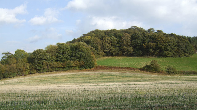
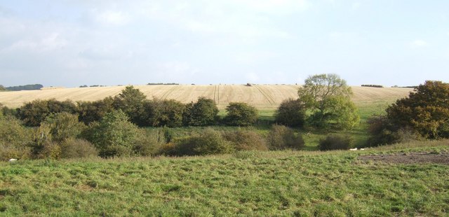
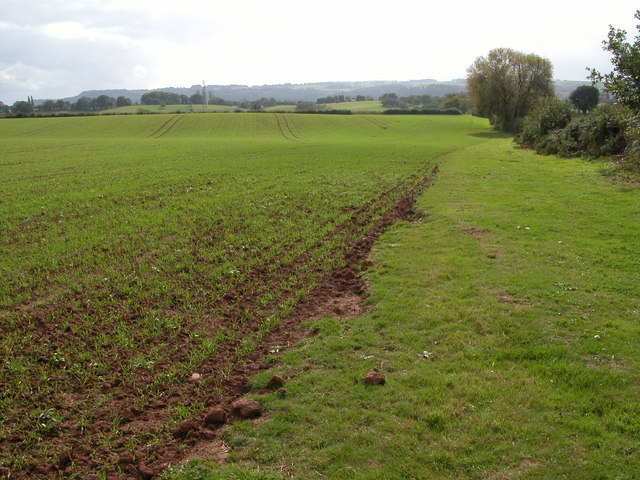
Scotland Coppice is a stunning woodland area located in Worcestershire, England. Covering an approximate area of 250 acres, this ancient coppiced woodland is rich in biodiversity and offers a tranquil retreat for nature enthusiasts and walkers alike.

The woodland is predominately made up of oak trees, with some areas featuring beech and birch trees as well. The coppicing management technique, which involves cutting trees close to the ground and allowing them to regrow, has been practiced here for centuries, resulting in a dense growth of underwood and a variety of wildflowers, ferns, and mosses.

The forest floor is covered in a lush carpet of bluebells during springtime, creating a breathtaking sight for visitors. Wildlife is abundant in Scotland Coppice, with a diverse range of bird species, including woodpeckers and owls, calling the area home. The woodland is also home to mammals such as deer, badgers, and foxes, making it an ideal spot for wildlife spotting.

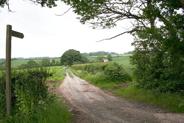
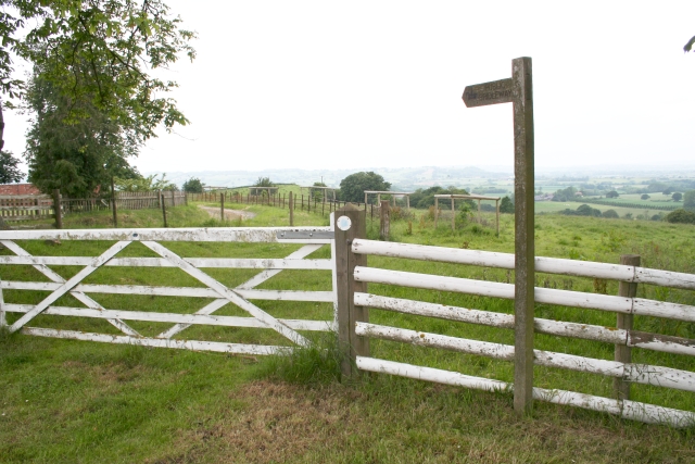
Visitors to Scotland Coppice can enjoy a network of well-maintained trails that wind through the woodland, providing ample opportunities for peaceful walks and exploration. Interpretive signs along the trails offer information about the flora and fauna found in the area, as well as the history and management of the coppiced woodland.

With its serene atmosphere, stunning natural beauty, and abundant wildlife, Scotland Coppice is a must-visit destination for those looking to immerse themselves in the tranquility of Worcestershire's woodlands.

If you have any feedback on the listing, please let us know in the comments section below.

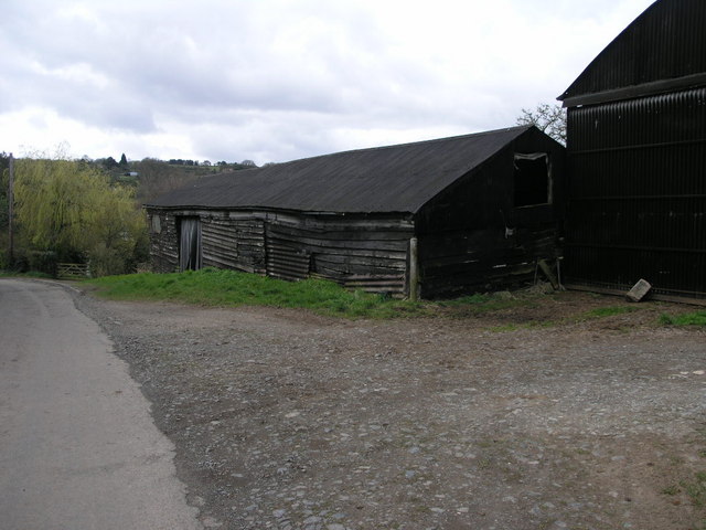
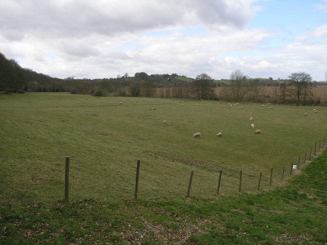
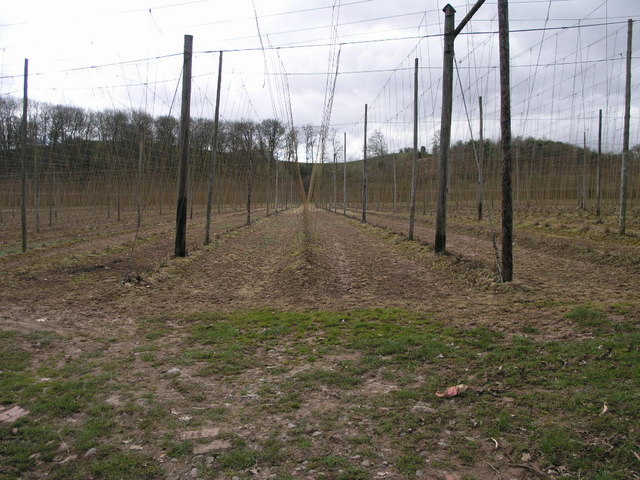
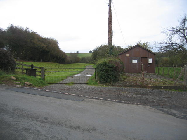
Scotland Coppice Images

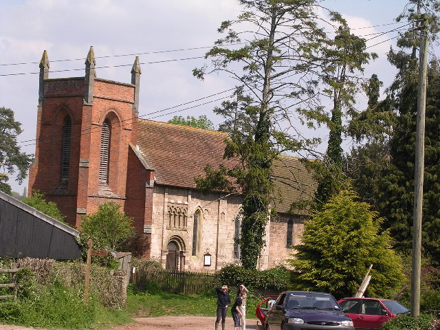
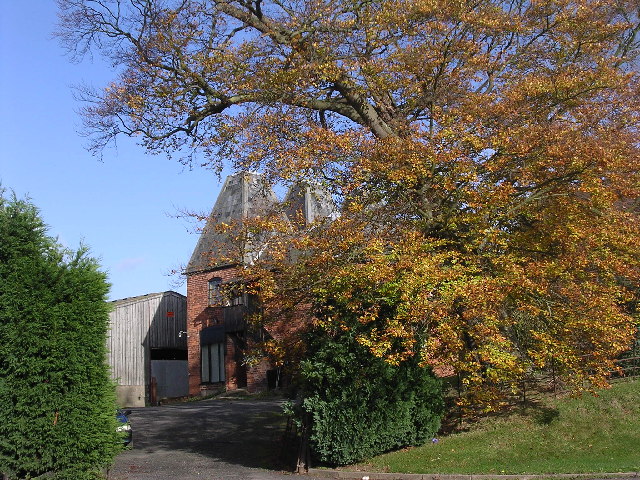
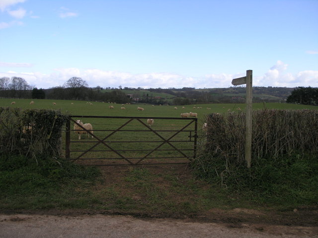
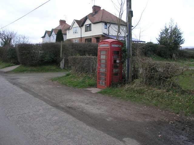
Images are sourced within 2km of 52.310121/-2.5045982 or Grid Reference SO6568. Thanks to Geograph Open Source API. All images are credited.

Eastham church Eastham church in the Teme valley is located in a farmyard. Although the tower is brick, the body of the church is made from locally quarried tufa.
Eastham church
Eastham church in the Teme valley is located in a farmyard. Although the tower is brick, the body of the church is made from locally quarried tufa.
Farm with hop barns: Teme Valley The lane to Woodston Manor.
Farm with hop barns: Teme Valley
The lane to Woodston Manor.
Doddenhill Farm
Doddenhill Farm
Gate and Sheep This footpath follows the river valley on its way to Eastham.
Gate and Sheep
This footpath follows the river valley on its way to Eastham.
Phone and Footpath The footpath leads to Eastham the phonebox could potentially lead to anywhere in the world.
Phone and Footpath
The footpath leads to Eastham the phonebox could potentially lead to anywhere in the world.
Black Wooden Barn This barn has perhaps seen better days since the planks on its sides have sagged a little.
Black Wooden Barn
This barn has perhaps seen better days since the planks on its sides have sagged a little.
Grazing by the River The trees at the edge of this field are following the source of the River Teme.
Grazing by the River
The trees at the edge of this field are following the source of the River Teme.
Farming Telegraph Poles These telegraph poles are almost ready for harvesting just as soon as they grow the footpegs on the top.  Hop poles really, I believe.
Farming Telegraph Poles
These telegraph poles are almost ready for harvesting just as soon as they grow the footpegs on the top. Hop poles really, I believe.
Newnham Bridge exchange & course of Leominster Canal The depression to the left of the farm track marks the course of the never completed and long since abandoned Leominster Canal.  The wooden shed is Newnham Bridge telephone exchange.
Newnham Bridge exchange & course of Leominster Canal
The depression to the left of the farm track marks the course of the never completed and long since abandoned Leominster Canal. The wooden shed is Newnham Bridge telephone exchange.
Eastham Bridge, nr Tenbury, Worcestershire Built in 1793 and rebuilt in 1898, it was a toll bridge until 1908.
Eastham Bridge, nr Tenbury, Worcestershire
Built in 1793 and rebuilt in 1898, it was a toll bridge until 1908.
Childsgrove Farm Taken from the start of the lane at a point where five routes converge, though one is now just a public footpath blocked by crops.
Childsgrove Farm
Taken from the start of the lane at a point where five routes converge, though one is now just a public footpath blocked by crops.
Start of the Bridleway by Hill Top Farm The bridleway goes all the way down to a mill site and then on to Newhouse Farm.
Start of the Bridleway by Hill Top Farm
The bridleway goes all the way down to a mill site and then on to Newhouse Farm.
Footpath to Highwood Looking from a junction of five roads and paths, one of the paths goes across this field - now ploughed up and planted. Lying on the ground is the remains of a 3" X 3" wooden post - very similar to those indicating a public footpath.
Footpath to Highwood
Looking from a junction of five roads and paths, one of the paths goes across this field - now ploughed up and planted. Lying on the ground is the remains of a 3" X 3" wooden post - very similar to those indicating a public footpath.
The Talbot Inn, Newnham Bridge The Talbot Inn is situated on the junction of the A456, Kidderminster road with the A443. The bridge in the foreground carries the road over the River Rea.
The Talbot Inn, Newnham Bridge
The Talbot Inn is situated on the junction of the A456, Kidderminster road with the A443. The bridge in the foreground carries the road over the River Rea.
Bridleway south of Hillwood Farm Pleasant rolling countryside in west Worcestershire.
Bridleway south of Hillwood Farm
Pleasant rolling countryside in west Worcestershire.
Wooded hillside View east of the farm road to Hillwood farm.
Wooded hillside
View east of the farm road to Hillwood farm.
Grazing land and arable Typical scenery of the countryside east of Tenbury.
Grazing land and arable
Typical scenery of the countryside east of Tenbury.
Hillwood Farm Not a hive of activity.
Hillwood Farm
Not a hive of activity.
Show me another place!

Scotland Coppice is located at Grid Ref: SO6568 (Lat: 52.310121, Lng: -2.5045982)

Administrative County: Worcestershire

District: Malvern Hills

Police Authority: West Mercia

What 3 Words

///vacancies.image.cries. Near Tenbury Wells, Worcestershire

Nearby Locations

Eastham Scotland Coppice

Related Wikis

Related Videos

Unbelievable Tunnel Dig Hits Unexpected Challenge Sand Takes Over

The Failed Tunnels of the Leominster Canal Follow Paul & Rebecca Whitewick @pwhitewick Join this channel to get access to ...

MEDIEVAL MILL TURNED FAIRYTALE ENGLISH COTTAGE - Explore This Rural Countryside Cottage

Come with me this week and explore this former medieval mill turned fairytale English countryside cottage. Located in a valley in ...

Colossal Collapsed Canals | Leominster Canal

Colossal Collapsed Canals | Leominster Canal Follow Paul & Rebecca Whitewick @pwhitewick Join this channel to get access to ...

London Eastham Park | लंदन के पार्क कैसे होते हैँ ? Playground For Kids

London park | playground for children लंदन के पार्क कैसे होते हैँ ?

Nearby Amenities

Located within 500m of 52.310121,-2.5045982
Post Box
Collection Times: Mo-Fr 15:15; Sa 09:45
Post Box Type: wall
Ref: WR15 77
Royal Cypher: VR
Royal Cypher Wikidata: Q33102356
Lat/Long: 52.3104481/-2.508476
Barrier: stile
Foot: yes
Material: wood
Stile: stepover
Lat/Long: 52.3111902/-2.5017299
Barrier: stile
Foot: yes
Material: wood
Stile: stepover
Lat/Long: 52.3115312/-2.5021108
Barrier: stile
Foot: yes
Material: wood
Stile: stepover
Lat/Long: 52.3128636/-2.5031327
Barrier: stile
Foot: yes
Material: wood
Stile: stepover
Lat/Long: 52.3128755/-2.5031843
Power: pole
Lat/Long: 52.3070605/-2.5040614
Power: pole
Lat/Long: 52.3078194/-2.5040138
Old Farm
Power: pole
Transformer: distribution
Voltage Primary: 11000
Lat/Long: 52.3065418/-2.5038488
Lower Bank Farm
Power: pole
Transformer: distribution
Voltage Primary: 11000
Lat/Long: 52.3074159/-2.50405
Power: pole
Lat/Long: 52.308281/-2.5038669
Robin's End
Power: pole
Transformer: distribution
Voltage Primary: 11000
Lat/Long: 52.310269/-2.5020028
Power: pole
Lat/Long: 52.3098119/-2.5025889
Power: pole
Lat/Long: 52.3093892/-2.5031347
Power: pole
Lat/Long: 52.3090399/-2.5036182
Power: pole
Lat/Long: 52.3087775/-2.5036912
Power: pole
Lat/Long: 52.3088948/-2.5041613
Power: pole
Lat/Long: 52.3091862/-2.5053133
Cattershoot
Power: pole
Transformer: distribution
Voltage Primary: 11000
Lat/Long: 52.3117998/-2.5089289
Power: pole
Lat/Long: 52.3114948/-2.5083469
Power: pole
Lat/Long: 52.3108954/-2.5071714
The Flats
Power: pole
Transformer: distribution
Voltage Primary: 11000
Lat/Long: 52.3105637/-2.5069796
Power: pole
Lat/Long: 52.3099726/-2.5066571
Power: pole
Lat/Long: 52.3092371/-2.5066517
Power: pole
Lat/Long: 52.3092773/-2.5077568
Power: pole
Lat/Long: 52.3093215/-2.5089906
Power: pole
Lat/Long: 52.3094068/-2.5113617
Power: pole
Lat/Long: 52.3093642/-2.5102392
Power: pole
Lat/Long: 52.3087734/-2.5106817
Power: pole
Lat/Long: 52.3081752/-2.5111337
The data included in this document is from www.openstreetmap.org. The data is made available under ODbL.

Have you been to Scotland Coppice?

Leave your review of Scotland Coppice below (or comments, questions and feedback).