Eastham
Settlement in Worcestershire Malvern Hills
England
Eastham
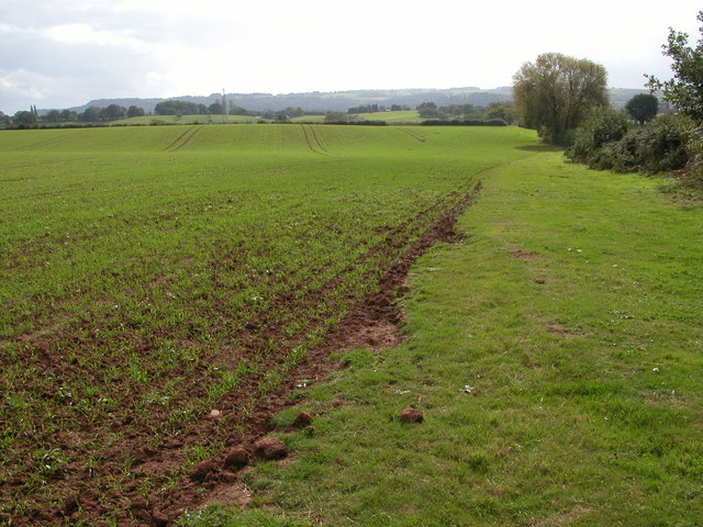
Eastham is a small village located in the district of Wychavon, Worcestershire, England. Situated in the West Midlands region, Eastham is set amidst picturesque countryside, offering a serene and tranquil setting. The village is nestled on the banks of the River Teme, which adds to its natural beauty.
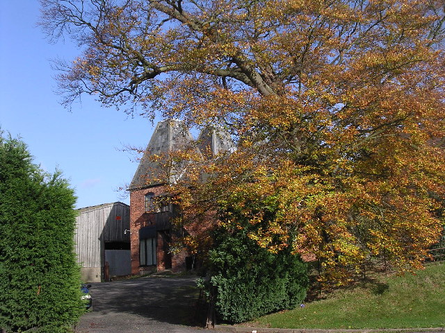
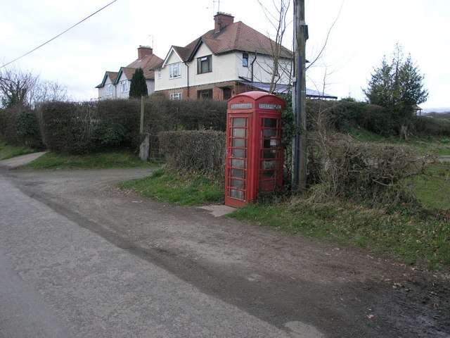
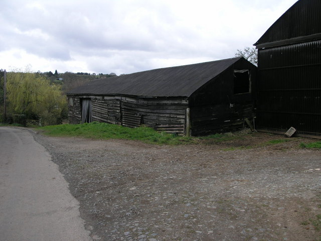
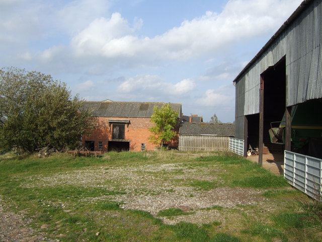
With a population of around 400 residents, Eastham is known for its close-knit community and friendly atmosphere. The village is primarily residential, with a scattering of charming cottages and traditional houses. These buildings reflect the village's rich history, with some dating back several centuries.
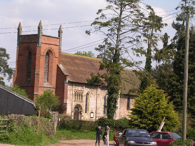
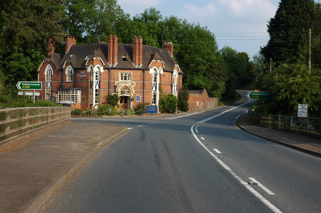
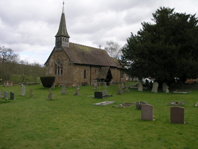
Eastham is also home to St Peter's Church, a beautiful medieval church that serves as a focal point for the community. The church boasts a striking Norman tower and features several notable architectural elements, including stained glass windows and intricate stone carvings.
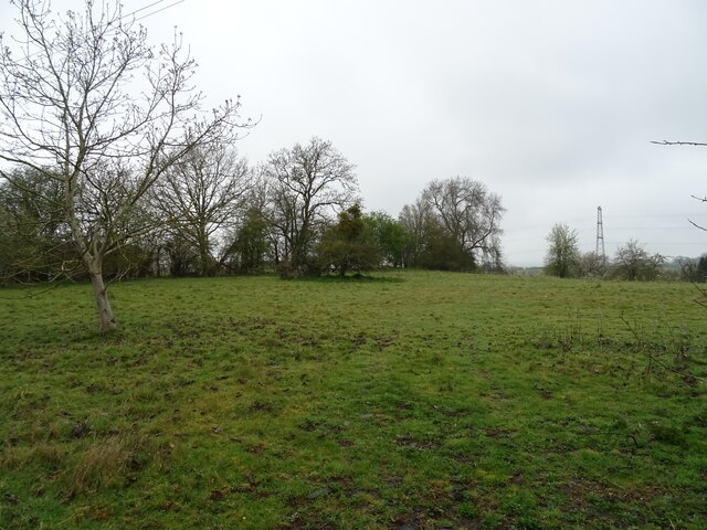
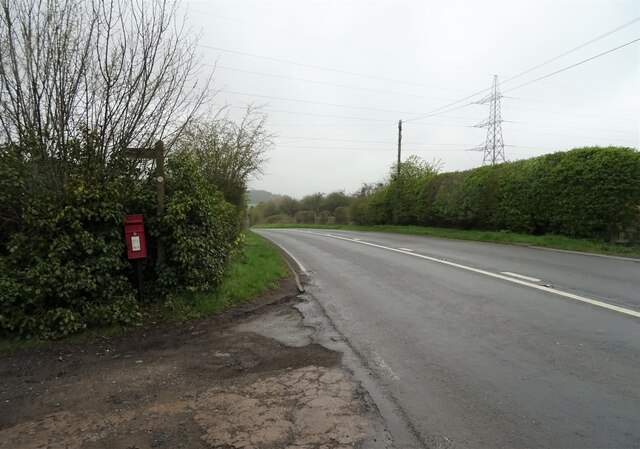
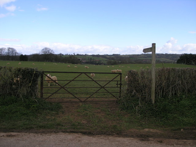
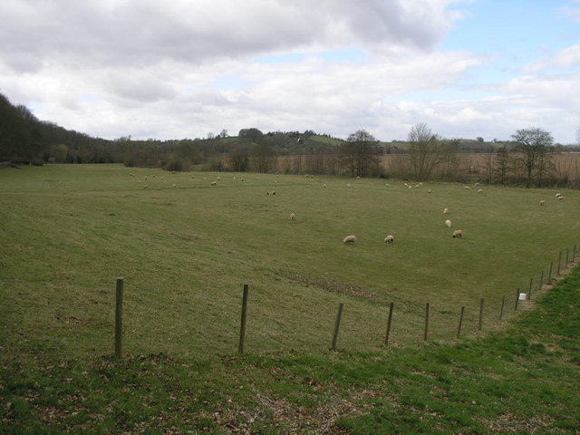
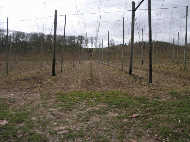
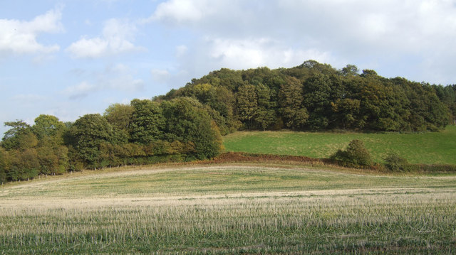
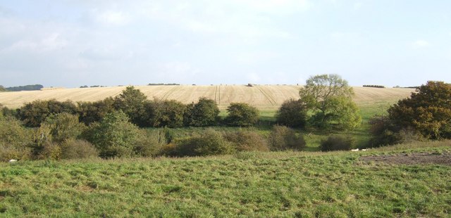
For outdoor enthusiasts, Eastham offers numerous opportunities for exploring the surrounding countryside. The village is surrounded by rolling hills and verdant landscapes, making it an ideal destination for walkers and nature lovers. The nearby River Teme provides opportunities for fishing and boating.
Although Eastham is a small village, it benefits from its proximity to larger towns and cities. The market town of Tenbury Wells is just a short distance away, offering a range of amenities including shops, schools, and healthcare facilities.
In summary, Eastham is a quaint and picturesque village in Worcestershire, known for its close community, historic buildings, and beautiful natural surroundings.
If you have any feedback on the listing, please let us know in the comments section below.
Eastham Images
Images are sourced within 2km of 52.315415/-2.5028248 or Grid Reference SO6568. Thanks to Geograph Open Source API. All images are credited.


Eastham is located at Grid Ref: SO6568 (Lat: 52.315415, Lng: -2.5028248)
Administrative County: Worcestershire
District: Malvern Hills
Police Authority: West Mercia
What 3 Words
///failed.keep.gratitude. Near Tenbury Wells, Worcestershire
Nearby Locations
Related Wikis

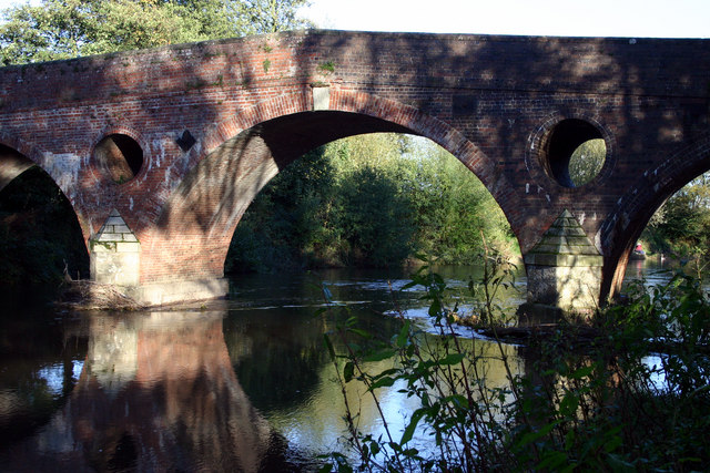
Eastham bridge
Eastham bridge was a Grade II listed bridge over the River Teme at Eastham, near Tenbury Wells, Worcestershire, England. Built as a toll bridge in 1793...

Eastham, Worcestershire
Eastham is a village and civil parish in the Malvern Hills District in the county of Worcestershire, England. It had a population of 254 in 2021.Eastham...

Lindridge
Lindridge is a village and civil parish in the Malvern Hills District in the north of the county of Worcestershire, England, near the Shropshire border...

Newnham Bridge
Newnham Bridge is a village in the parish of Knighton on Teme, near Tenbury Wells, Worcestershire, England, United Kingdom. The village derives part of...
Marlbrook, Shropshire
Marlbrook is a hamlet in Shropshire, England, right on the border with Worcestershire. == References == The geographic coordinates are from the Ordnance...

Newnham Bridge railway station
Newnham Bridge railway station was a station on the Tenbury and Bewdley Railway in Newnham Bridge, Worcestershire, England. The station was named 'Newnham...

Hanley William
Hanley William is a village and former civil parish, now in the parish of Hanley, in the Malvern Hills district, in the county of Worcestershire, England...
Rochford, Worcestershire
Rochford consists of two hamlets, Lower and Upper Rochford. A civil parish in the Malvern Hills District near Tenbury Wells, in the county of Worcestershire...
Nearby Amenities
Located within 500m of 52.315415,-2.5028248Have you been to Eastham?
Leave your review of Eastham below (or comments, questions and feedback).