Lower Woodend

Settlement in Aberdeenshire

Scotland

Lower Woodend

Forest roads of Bennachie
Forest roads of Bennachie Credit: Ralph Greig

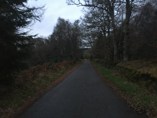
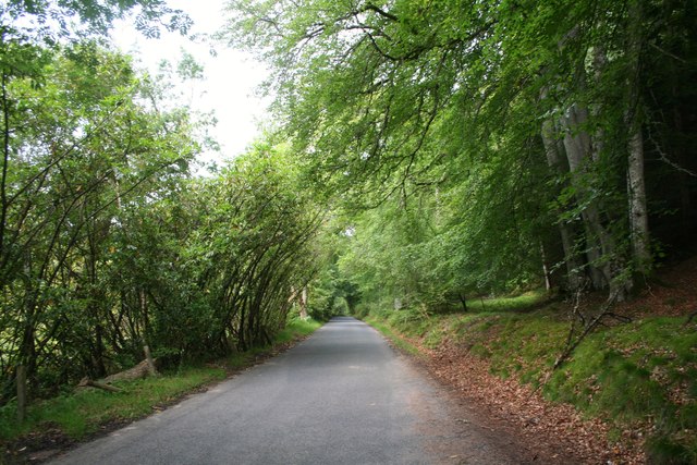
Lower Woodend is a small village located in the picturesque countryside of Aberdeenshire, Scotland. Situated just a few miles east of the town of Inverurie, Lower Woodend offers a tranquil and idyllic setting for its residents. The village is characterized by its charming stone cottages, lush green fields, and rolling hills, providing residents with stunning views of the surrounding landscape.

Lower Woodend is known for its strong sense of community, with a close-knit population of friendly and welcoming locals. The village has a small primary school, which serves the educational needs of the children in the area. Additionally, there is a village hall that acts as a social hub, hosting various events and activities throughout the year, fostering a sense of unity among the residents.

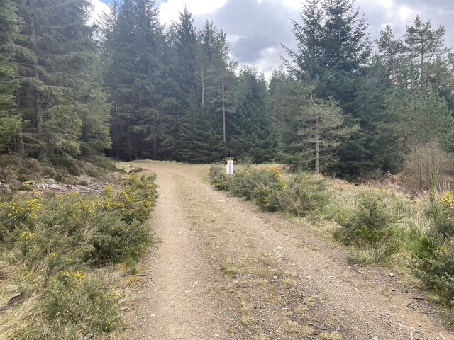
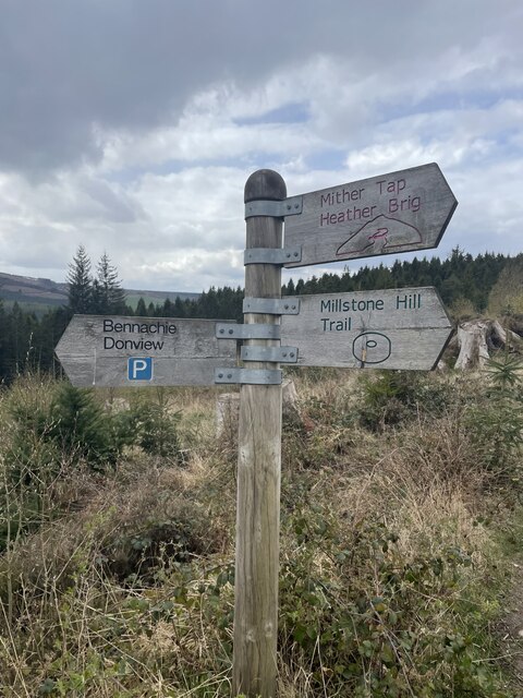
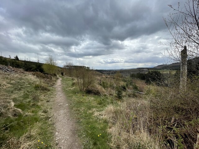
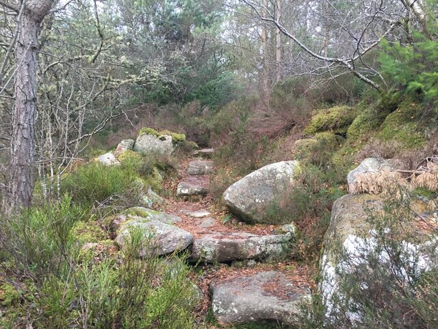
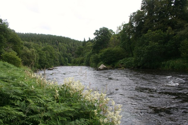
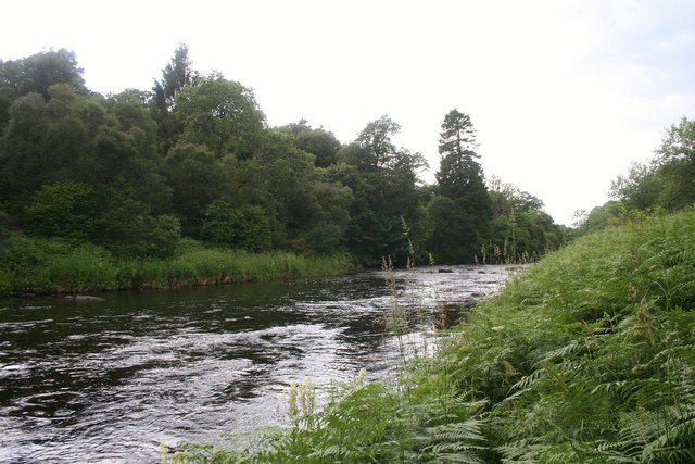
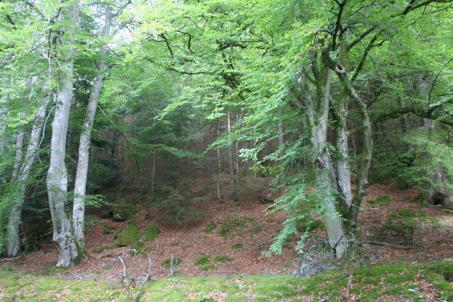
The village is surrounded by a wealth of natural beauty, making it an ideal location for outdoor enthusiasts. The nearby Bennachie mountain range offers numerous hiking trails, allowing residents to explore the stunning Scottish countryside. Furthermore, the River Don flows through the area, providing opportunities for fishing and canoeing.

While Lower Woodend may be a peaceful retreat from the hustle and bustle of city life, it is also conveniently located near the town of Inverurie. This allows residents to easily access a range of amenities, including shops, supermarkets, restaurants, and leisure facilities.

In summary, Lower Woodend is a charming village in Aberdeenshire, offering a picturesque countryside setting and a strong sense of community. With its natural beauty and convenient proximity to nearby towns, it provides an ideal location for those seeking a peaceful yet accessible place to call home.

If you have any feedback on the listing, please let us know in the comments section below.

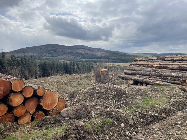
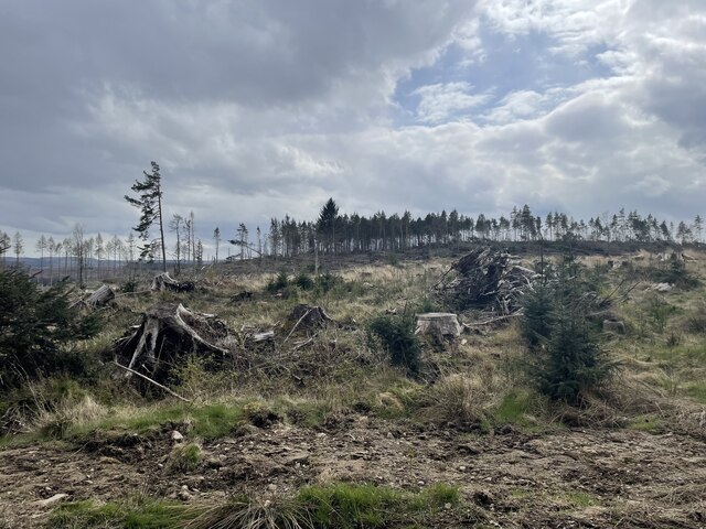
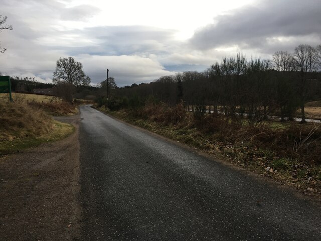
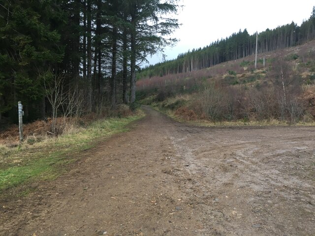
Lower Woodend Images

Images are sourced within 2km of 57.251488/-2.5485515 or Grid Reference NJ6718. Thanks to Geograph Open Source API. All images are credited.

Forest roads of Bennachie
Which way? Bennachie is a range of hills in Aberdeenshire, Scotland.It has several tops, the highest of which, Oxen Craig, has a height of 528 metres (1,732 ft). Though not particularly high, compared to other peaks within Scotland, the mountain is very prominent, owing to its isolation and the relative flatness of the surrounding terrain, and dominates the skyline from several viewpoints.
Which way?
Bennachie is a range of hills in Aberdeenshire, Scotland.It has several tops, the highest of which, Oxen Craig, has a height of 528 metres (1,732 ft). Though not particularly high, compared to other peaks within Scotland, the mountain is very prominent, owing to its isolation and the relative flatness of the surrounding terrain, and dominates the skyline from several viewpoints.
A path on Bennachie Bennachie is a range of hills in Aberdeenshire, Scotland.It has several tops, the highest of which, Oxen Craig, has a height of 528 metres (1,732 ft). Though not particularly high, compared to other peaks within Scotland, the mountain is very prominent, owing to its isolation and the relative flatness of the surrounding terrain, and dominates the skyline from several viewpoints.
A path on Bennachie
Bennachie is a range of hills in Aberdeenshire, Scotland.It has several tops, the highest of which, Oxen Craig, has a height of 528 metres (1,732 ft). Though not particularly high, compared to other peaks within Scotland, the mountain is very prominent, owing to its isolation and the relative flatness of the surrounding terrain, and dominates the skyline from several viewpoints.
Harvest time for trees Bennachie is a range of hills in Aberdeenshire, Scotland.It has several tops, the highest of which, Oxen Craig, has a height of 528 metres (1,732 ft). Though not particularly high, compared to other peaks within Scotland, the mountain is very prominent, owing to its isolation and the relative flatness of the surrounding terrain, and dominates the skyline from several viewpoints.
Harvest time for trees
Bennachie is a range of hills in Aberdeenshire, Scotland.It has several tops, the highest of which, Oxen Craig, has a height of 528 metres (1,732 ft). Though not particularly high, compared to other peaks within Scotland, the mountain is very prominent, owing to its isolation and the relative flatness of the surrounding terrain, and dominates the skyline from several viewpoints.
Where the trees used to be
Storm damaged trees
Storm damaged trees
Minor road at Donview
Forestry road near Donview
Path up Millstone Hill
Minor road near Tilliefoure
Don by Tilliehashlach The River Don with the Paradise Wood on the right side. Tilliehashlach translates as the knoll of the rapid ford.
Don by Tilliehashlach
The River Don with the Paradise Wood on the right side. Tilliehashlach translates as the knoll of the rapid ford.
Don Upstream The River Don flowing towards the camera from Woodhead, Paradise Wood on the far bank.
Don Upstream
The River Don flowing towards the camera from Woodhead, Paradise Wood on the far bank.
Forest Edge The edge of the Bennachie Forest from the roadside.
Forest Edge
The edge of the Bennachie Forest from the roadside.
Bennachie Road The road bordering the Bennachie forest between Ramstone and Tilliehashlach.
Bennachie Road
The road bordering the Bennachie forest between Ramstone and Tilliehashlach.
Don and Paradise The River Don and Paradise Wood.
Don and Paradise
The River Don and Paradise Wood.
River Don by Paradise Wood Scenic reach of the Don upstream from Pitfichie.
<span class="nowrap"><a title="http://en.wikipedia.org/wiki/River_Don,_Aberdeenshire" rel="nofollow ugc noopener" href="http://en.wikipedia.org/wiki/River_Don,_Aberdeenshire">Link</a><img style="margin-left:2px;" alt="External link" title="External link - shift click to open in new window" src="https://s1.geograph.org.uk/img/external.png" width="10" height="10"/></span>
River Don by Paradise Wood
Scenic reach of the Don upstream from Pitfichie. LinkExternal link
River Don at Paradise Wood
Pitfichie Castle
Pitfichie Castle
Show me another place!

Lower Woodend is located at Grid Ref: NJ6718 (Lat: 57.251488, Lng: -2.5485515)

Unitary Authority: Aberdeenshire

Police Authority: North East

What 3 Words

///shorthand.cherry.ranges. Near Kemnay, Aberdeenshire

Related Wikis

Blairdaff

Blairdaff is a parish in Garioch, Aberdeenshire, Scotland, next to the villages of Kemnay and Monymusk. Blairdaff had a grocery store, a post office, and...

Monymusk

Monymusk (Scottish Gaelic: Monadh Musga) is a planned village in the Marr area of Aberdeenshire, Scotland. == History == Malcolm Canmore first established...

Monymusk Parish Church

Monymusk Parish Church (also known as the Church of the Blessed Mary) is located in Monymusk, Aberdeenshire, Scotland. It is of Church of Scotland denomination...
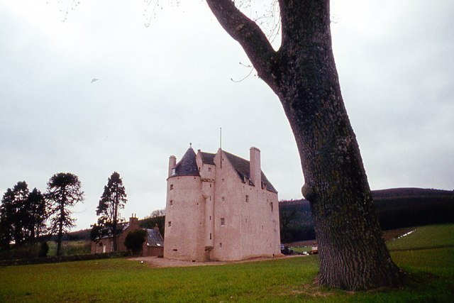
House of Monymusk

The House of Monymusk is located on the outskirts of the Scottish village of Monymusk, in the Marr region of Aberdeenshire. The house is located near the...

Nearby Amenities

Located within 500m of 57.251488,-2.5485515
Power: pole
Lat/Long: 57.2553826/-2.546317
Power: pole
Lat/Long: 57.2547699/-2.5470149
Power: pole
Lat/Long: 57.254128/-2.5477283
Power: pole
Lat/Long: 57.2535594/-2.5483678
Power: pole
Lat/Long: 57.2529699/-2.5490327
Material: wood
Power: pole
Lat/Long: 57.2527305/-2.5489138
Material: wood
Power: pole
Lat/Long: 57.2522708/-2.5486871
Material: wood
Power: pole
Lat/Long: 57.2518527/-2.5478218
Material: wood
Power: pole
Lat/Long: 57.25143/-2.5469412
Material: wood
Power: pole
Lat/Long: 57.2509321/-2.54588
Material: wood
Power: pole
Lat/Long: 57.250501/-2.5449773
Material: wood
Power: pole
Lat/Long: 57.2500484/-2.5440439
Material: wood
Power: pole
Lat/Long: 57.2496518/-2.5426282
Power: pole
Lat/Long: 57.2537076/-2.5466627
Power: pole
Lat/Long: 57.2534027/-2.5458591
Material: wood
Power: pole
Lat/Long: 57.2519623/-2.5410078
Material: wood
Power: pole
Lat/Long: 57.25143/-2.5418532
Material: wood
Power: pole
Lat/Long: 57.2510191/-2.5424807
Material: wood
Power: pole
Lat/Long: 57.250601/-2.5431808
The data included in this document is from www.openstreetmap.org. The data is made available under ODbL.

Have you been to Lower Woodend?

Leave your review of Lower Woodend below (or comments, questions and feedback).