Ram Pot

Lake, Pool, Pond, Freshwater Marsh in Aberdeenshire

Scotland

Ram Pot

Forest roads of Bennachie
Forest roads of Bennachie Credit: Ralph Greig

Ram Pot is a small freshwater marsh located in Aberdeenshire, Scotland. It is nestled within a picturesque landscape, surrounded by rolling hills and lush greenery. The pot is a natural basin that has been formed over time, and it is known for its tranquil and serene atmosphere.

Covering an area of approximately 2 acres, Ram Pot is home to a diverse range of flora and fauna. The pot acts as a haven for various aquatic plants, including water lilies, reeds, and rushes, which create a vibrant and colorful display during the warmer months. These plants provide a crucial habitat for numerous animal species, including insects, frogs, and birds.

The pot itself is not particularly deep, with an average depth of around 3 meters. However, its crystal-clear water allows visitors to observe the fascinating underwater ecosystem that thrives beneath the surface. The pot is also a popular spot for fishing enthusiasts, with an abundance of freshwater fish such as trout and perch.

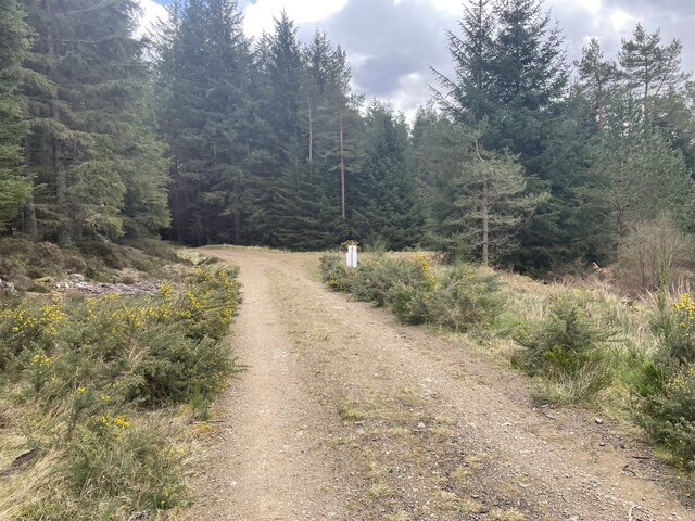
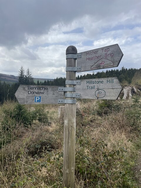
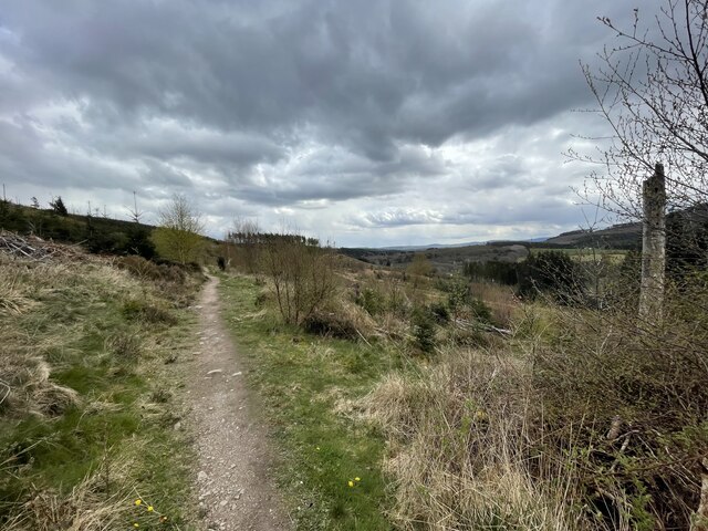
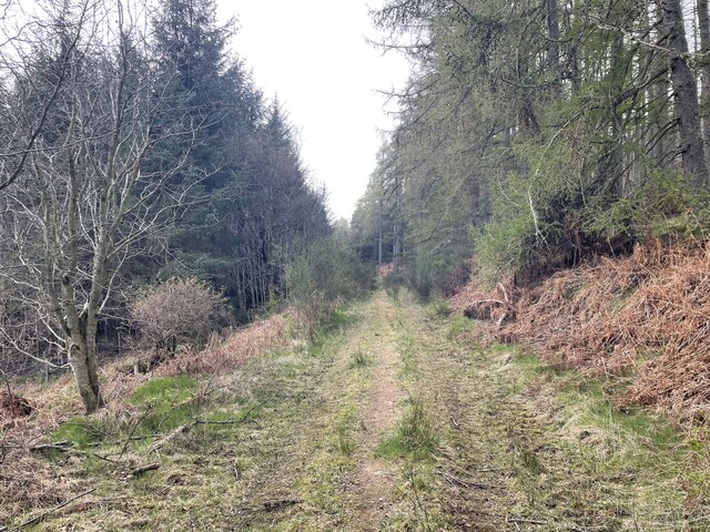
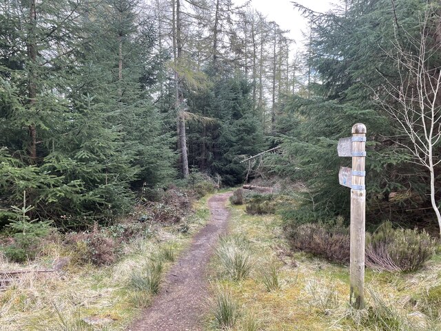
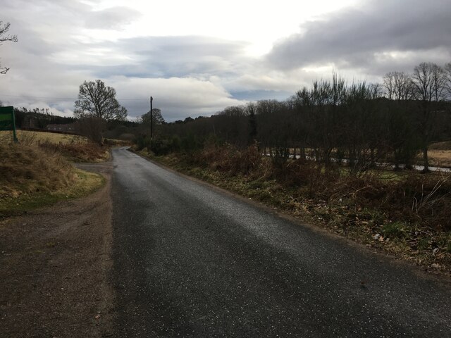
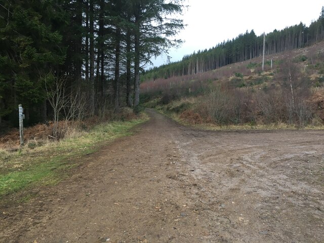
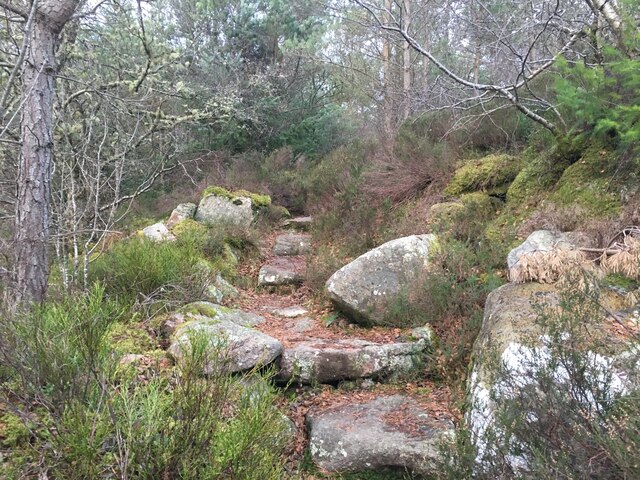
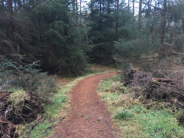
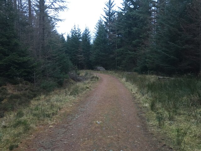
Surrounding Ram Pot, there are well-maintained walking trails that offer visitors the opportunity to explore the area further. The trails wind through the surrounding woodland, providing breathtaking views of the pot and its surroundings.

Ram Pot is a true hidden gem in Aberdeenshire, offering visitors a chance to escape the hustle and bustle of everyday life and immerse themselves in the beauty of nature. Whether it's fishing, birdwatching, or simply enjoying a peaceful walk, Ram Pot provides a perfect retreat for nature lovers of all kinds.

If you have any feedback on the listing, please let us know in the comments section below.
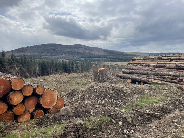
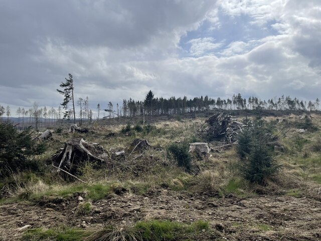
Ram Pot Images

Images are sourced within 2km of 57.256164/-2.5329407 or Grid Reference NJ6718. Thanks to Geograph Open Source API. All images are credited.

Forest roads of Bennachie
Which way? Bennachie is a range of hills in Aberdeenshire, Scotland.It has several tops, the highest of which, Oxen Craig, has a height of 528 metres (1,732 ft). Though not particularly high, compared to other peaks within Scotland, the mountain is very prominent, owing to its isolation and the relative flatness of the surrounding terrain, and dominates the skyline from several viewpoints.
Which way?
Bennachie is a range of hills in Aberdeenshire, Scotland.It has several tops, the highest of which, Oxen Craig, has a height of 528 metres (1,732 ft). Though not particularly high, compared to other peaks within Scotland, the mountain is very prominent, owing to its isolation and the relative flatness of the surrounding terrain, and dominates the skyline from several viewpoints.
A path on Bennachie Bennachie is a range of hills in Aberdeenshire, Scotland.It has several tops, the highest of which, Oxen Craig, has a height of 528 metres (1,732 ft). Though not particularly high, compared to other peaks within Scotland, the mountain is very prominent, owing to its isolation and the relative flatness of the surrounding terrain, and dominates the skyline from several viewpoints.
A path on Bennachie
Bennachie is a range of hills in Aberdeenshire, Scotland.It has several tops, the highest of which, Oxen Craig, has a height of 528 metres (1,732 ft). Though not particularly high, compared to other peaks within Scotland, the mountain is very prominent, owing to its isolation and the relative flatness of the surrounding terrain, and dominates the skyline from several viewpoints.
Harvest time for trees Bennachie is a range of hills in Aberdeenshire, Scotland.It has several tops, the highest of which, Oxen Craig, has a height of 528 metres (1,732 ft). Though not particularly high, compared to other peaks within Scotland, the mountain is very prominent, owing to its isolation and the relative flatness of the surrounding terrain, and dominates the skyline from several viewpoints.
Harvest time for trees
Bennachie is a range of hills in Aberdeenshire, Scotland.It has several tops, the highest of which, Oxen Craig, has a height of 528 metres (1,732 ft). Though not particularly high, compared to other peaks within Scotland, the mountain is very prominent, owing to its isolation and the relative flatness of the surrounding terrain, and dominates the skyline from several viewpoints.
Where the trees used to be
Storm damaged trees
Storm damaged trees
Around the back of Scare hill Bennachie is a range of hills in Aberdeenshire, Scotland.It has several tops, the highest of which, Oxen Craig, has a height of 528 metres (1,732 ft). Though not particularly high, compared to other peaks within Scotland, the mountain is very prominent, owing to its isolation and the relative flatness of the surrounding terrain, and dominates the skyline from several viewpoints.
Around the back of Scare hill
Bennachie is a range of hills in Aberdeenshire, Scotland.It has several tops, the highest of which, Oxen Craig, has a height of 528 metres (1,732 ft). Though not particularly high, compared to other peaks within Scotland, the mountain is very prominent, owing to its isolation and the relative flatness of the surrounding terrain, and dominates the skyline from several viewpoints.
Only one way to go
Only one way to go
Scottish Water stuff
Minor road at Donview
Forestry road near Donview
Path up Millstone Hill
Path in Bennachie Forest
Forestry road in Bennachie Forest
Blairdaff kirk Geocaching is a type of global treasure hunt of people looking for caches, or hidden stashes of objects. Geocaching may also be described as a series of hide-and-seek games, where hiders provide online clues for seekers. Seekers use global positioning system (GPS) devices to find hidden caches
Blairdaff kirk
Geocaching is a type of global treasure hunt of people looking for caches, or hidden stashes of objects. Geocaching may also be described as a series of hide-and-seek games, where hiders provide online clues for seekers. Seekers use global positioning system (GPS) devices to find hidden caches
War Memorial at Blairdaff A memorial in the grounds of the ruined church at Blairdaff.
War Memorial at Blairdaff
A memorial in the grounds of the ruined church at Blairdaff.
Blairdaff Church The ruinous church at Blairdaff.
Blairdaff Church
The ruinous church at Blairdaff.
Blairdaff Churchyard The churchyard and earview of the ruined church at Blairdaff.
Blairdaff Churchyard
The churchyard and earview of the ruined church at Blairdaff.
Show me another place!

Ram Pot is located at Grid Ref: NJ6718 (Lat: 57.256164, Lng: -2.5329407)

Unitary Authority: Aberdeenshire

Police Authority: North East

What 3 Words

///crackled.generals.fades. Near Kemnay, Aberdeenshire

Related Wikis

Blairdaff

Blairdaff is a parish in Garioch, Aberdeenshire, Scotland, next to the villages of Kemnay and Monymusk. Blairdaff had a grocery store, a post office, and...

Bograxie

Bograxie is a farm in Aberdeenshire, Scotland. == References ==

House of Monymusk

The House of Monymusk is located on the outskirts of the Scottish village of Monymusk, in the Marr region of Aberdeenshire. The house is located near the...

Monymusk

Monymusk (Scottish Gaelic: Monadh Musga) is a planned village in the Marr area of Aberdeenshire, Scotland. == History == Malcolm Canmore first established...

Nearby Amenities

Located within 500m of 57.256164,-2.5329407
Power: pole
Lat/Long: 57.2586442/-2.5394975
Power: pole
Lat/Long: 57.2583155/-2.5382052
Power: pole
Lat/Long: 57.258019/-2.5369612
Power: pole
Lat/Long: 57.2577344/-2.5357437
The data included in this document is from www.openstreetmap.org. The data is made available under ODbL.

Have you been to Ram Pot?

Leave your review of Ram Pot below (or comments, questions and feedback).