Coire an Duill

Corrie (Glacial Valley) in Inverness-shire

Scotland

Coire an Duill

Rotten Bridge over the Allt Lon Glas Bheinn
Rotten Bridge over the Allt Lon Glas Bheinn Credit: Roger Boston

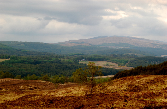
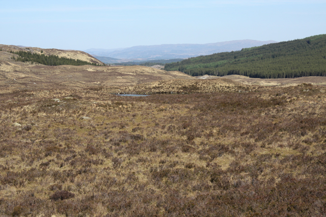
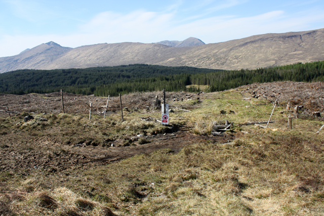
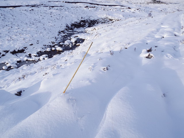
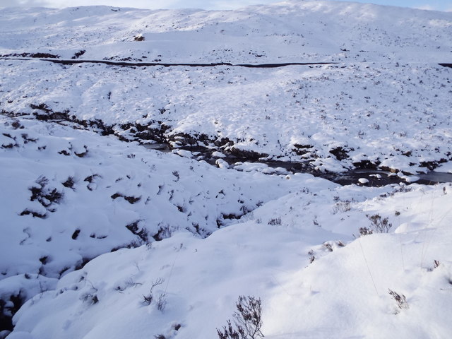
Coire an Duill, also known as Corrie, is a picturesque glacial valley located in Inverness-shire, Scotland. It is situated in the Cairngorms National Park, which is known for its rugged landscapes and stunning natural beauty. Coire an Duill is nestled within the mountainous region, surrounded by towering peaks and dense forests, providing a breathtaking backdrop for visitors.

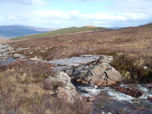
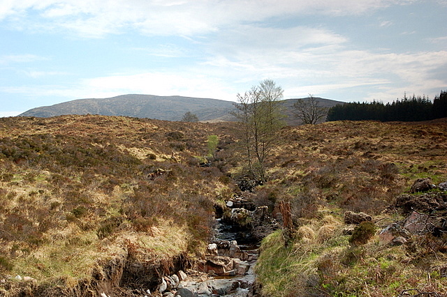
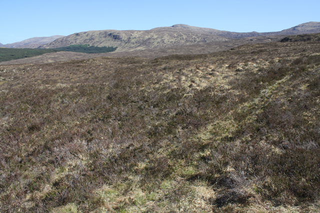
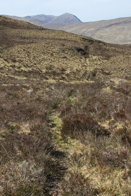
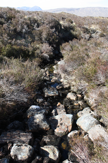
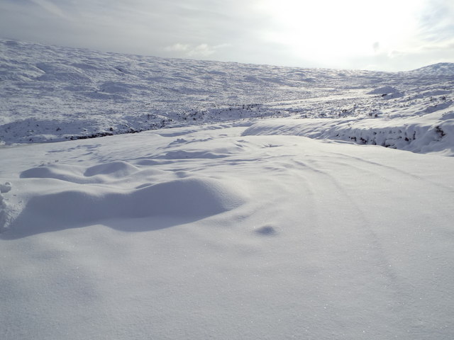
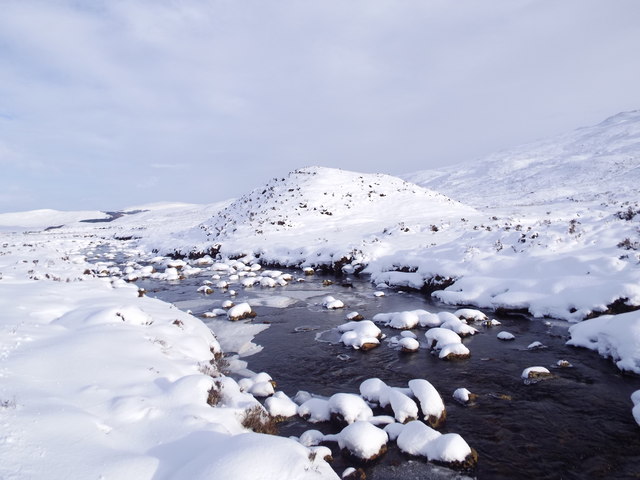
The valley itself was formed by the erosive power of glacial ice during the last Ice Age, leaving behind a U-shaped valley with steep sides and a flat floor. The name "Coire an Duill" translates to "Corrie of the Black Stream," referring to the small stream that runs through the valley, adding to its charm and tranquility.

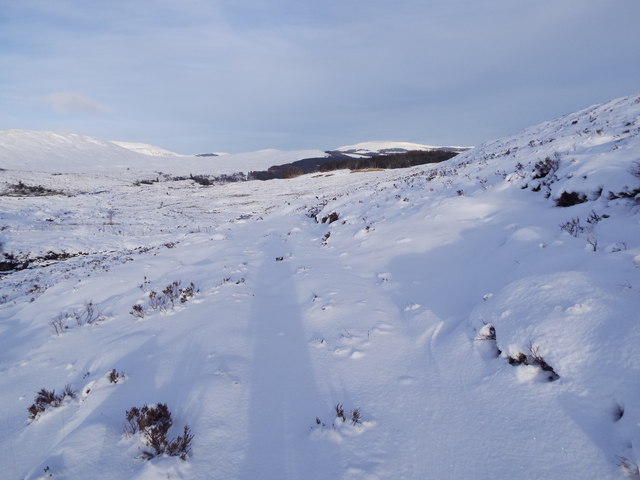
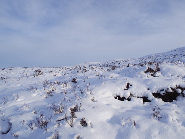
The area is a haven for outdoor enthusiasts, offering a range of activities such as hiking, mountaineering, and wildlife spotting. The valley is home to a diverse array of flora and fauna, including rare alpine plants, red deer, and golden eagles, making it a paradise for nature lovers and photographers.

Visitors to Coire an Duill can enjoy the serenity of the surroundings, taking in the stunning vistas and immersing themselves in the peaceful atmosphere. The glacial valley offers a sense of solitude and tranquility, providing a perfect escape from the hustle and bustle of daily life.

Overall, Coire an Duill is a captivating destination that showcases the raw beauty of the Scottish Highlands. Whether you are seeking adventure or simply wish to appreciate the wonders of nature, this glacial valley is sure to leave a lasting impression.

If you have any feedback on the listing, please let us know in the comments section below.

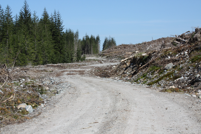
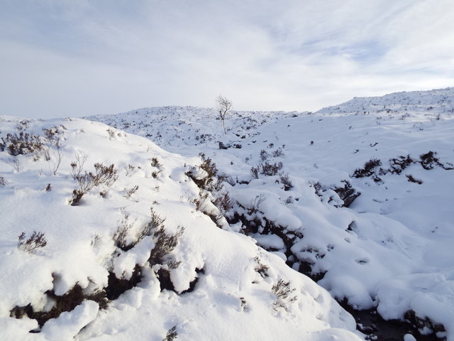
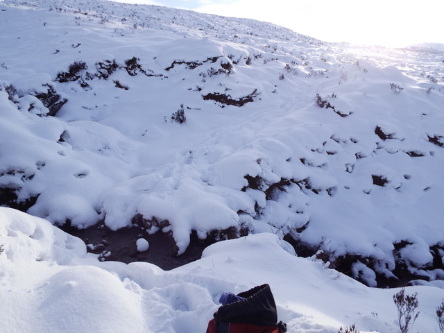
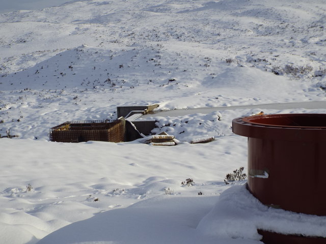
Coire an Duill Images

Images are sourced within 2km of 57.034824/-5.0751598 or Grid Reference NN1397. Thanks to Geograph Open Source API. All images are credited.

Rotten Bridge over the Allt Lon Glas Bheinn
Forest clearing You can see the Tomdoun Hotel from this clearing.
Forest clearing
You can see the Tomdoun Hotel from this clearing.
Allt Fionn dhail I saw some Deer up near the wood the first and last that I saw all day.
Allt Fionn dhail
I saw some Deer up near the wood the first and last that I saw all day.
Stalkers' path NE of Glas Bheinn An overgrown path, but still quite easy to follow.  Meall Doir' an Daimh in the distance.
Stalkers' path NE of Glas Bheinn
An overgrown path, but still quite easy to follow. Meall Doir' an Daimh in the distance.
A glimpse of Lochan na Glas Bheinn Seen from a stalkers' path NE of Glas Bheinn.
A glimpse of Lochan na Glas Bheinn
Seen from a stalkers' path NE of Glas Bheinn.
Stalkers' path below Glas Bheinn An overgrown path south of Glen Garry.
Stalkers' path below Glas Bheinn
An overgrown path south of Glen Garry.
Allt Fionn-dhail The source of this burn is in Coire an Duill on Glas Bheinn.  It is a tributary of the River Garry.
Allt Fionn-dhail
The source of this burn is in Coire an Duill on Glas Bheinn. It is a tributary of the River Garry.
Stalkers' path entering plantation The southern part of this plantation on Bad an t-Seobhag has been clear felled.
Stalkers' path entering plantation
The southern part of this plantation on Bad an t-Seobhag has been clear felled.
New forest road In a plantation on Bad an t-Seobhag.  Built for timber extraction, the area on the right has been clear felled.  Not yet showing on OS maps or Google Earth.
New forest road
In a plantation on Bad an t-Seobhag. Built for timber extraction, the area on the right has been clear felled. Not yet showing on OS maps or Google Earth.
Track east of Allt Choire a' Bhalachain under deep snow Marker flag for new track in the foreground.
Track east of Allt Choire a' Bhalachain under deep snow
Marker flag for new track in the foreground.
View upstream from ford on path above Glen Garry
Ford on path above Glen Garry
Allt Choire a' Bhalachain above Glen Garry The black line on the far bank is an alkathene pipeline for an hydro scheme being constructed.
Allt Choire a' Bhalachain above Glen Garry
The black line on the far bank is an alkathene pipeline for an hydro scheme being constructed.
The path to Glen Garry by Allt Choire a' Bhalachain
Slopes of Glas Bheinn above Glen Garry
End of a track west of Allt Choire a' Bhalachain above Glen Garry The track enables the laying of a pipeline for an hydro scheme and other associated construction. Could not have been built in a more opportune place and time as far as I was concerned. After this the flog began as the snow was knee-deep and the footing below the snow was unpredictable.
End of a track west of Allt Choire a' Bhalachain above Glen Garry
The track enables the laying of a pipeline for an hydro scheme and other associated construction. Could not have been built in a more opportune place and time as far as I was concerned. After this the flog began as the snow was knee-deep and the footing below the snow was unpredictable.
Knoll by Allt Choire a' Bhalachain above Glen Garry
Construction work on Allt Choire a' Bhalachain above Glen Garry
Show me another place!

Coire an Duill is located at Grid Ref: NN1397 (Lat: 57.034824, Lng: -5.0751598)

Unitary Authority: Highland

Police Authority: Highlands and Islands

What 3 Words

///attending.cabbies.office. Near Gairlochy, Highland

Nearby Locations

Glas Bheinn Coire an Duill

Related Wikis

Tomdoun

Tomdoun (Scottish Gaelic: An Tom Donn) is a settlement on the north side of the River Garry, near the western end of Loch Garry, in Glen Garry in the Highlands...

Lochaber

Lochaber ( lokh-AH-bər; Scottish Gaelic: Loch Abar) is a name applied to a part of the Scottish Highlands. Historically, it was a provincial lordship consisting...

Battle of Lochaber

The Battle of Lochaber was a battle fought in 1429, in the Scottish Highlands, between the forces of Alexander of Islay, Earl of Ross, Lord of the Isles...

Meall na h-Eilde

Meall na h-Eilde is a Scottish hill situated in the high ground between the Great Glen and Glen Garry, 23 km north of Fort William in the Highland Council...

Have you been to Coire an Duill?

Leave your review of Coire an Duill below (or comments, questions and feedback).