Coire Aodainn
Corrie (Glacial Valley) in Argyllshire
Scotland
Coire Aodainn
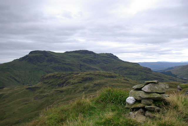
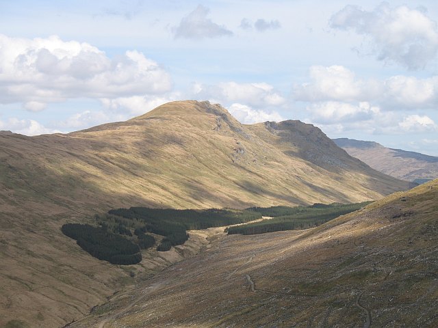
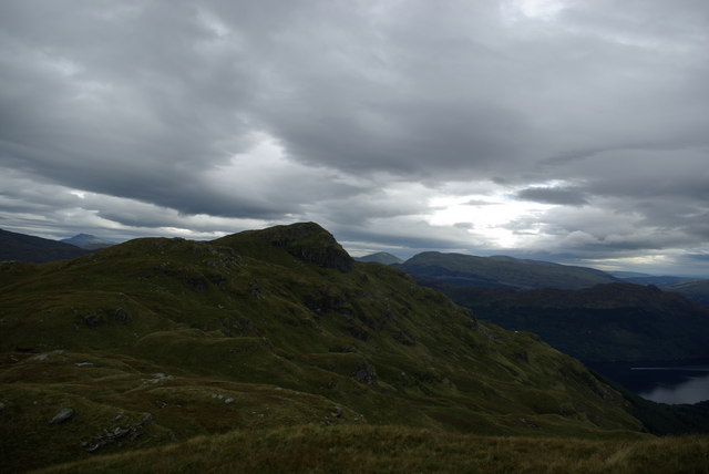
Coire Aodainn, located in Argyllshire, Scotland, is a stunning glacial valley commonly referred to as a corrie. Set amidst the magnificent Scottish Highlands, this natural wonder is known for its breathtaking beauty and dramatic landscapes.
Surrounded by towering mountains, Coire Aodainn is a classic example of a U-shaped glacial valley, formed during the last Ice Age. The valley features steep, rugged cliffs and a deep bowl-shaped floor, carved out by the powerful forces of glaciers. These glaciers once flowed through the area, eroding the rock and leaving behind a distinctive landscape.
The valley is blessed with a diverse range of flora and fauna, making it a haven for nature enthusiasts and wildlife photographers. Rare plants, such as alpine flowers and mosses, can be found scattered across the valley floor, adding vibrant splashes of color to the otherwise rocky terrain. The surrounding mountains provide a safe haven for various bird species, including golden eagles, peregrine falcons, and ptarmigans.
Coire Aodainn is also a popular destination for outdoor enthusiasts, offering a range of activities. Hiking and mountaineering opportunities abound, with numerous trails leading to the summit of nearby mountains, providing breathtaking panoramic views of the valley and surrounding landscapes. Additionally, the valley is a favorite spot for rock climbing and bouldering, attracting climbers from all over the world.
With its awe-inspiring scenery, rich biodiversity, and thrilling outdoor activities, Coire Aodainn is undoubtedly a must-visit destination for those seeking to immerse themselves in the beauty of the Scottish Highlands.
If you have any feedback on the listing, please let us know in the comments section below.
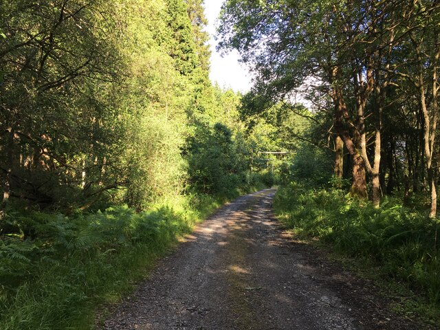
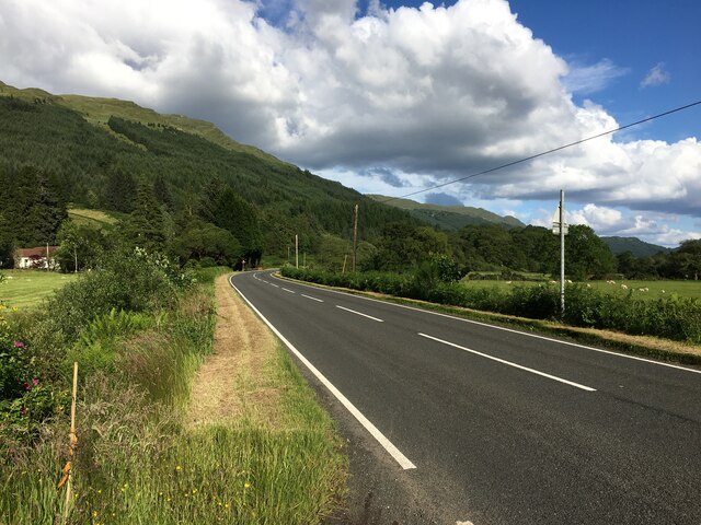
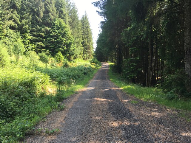
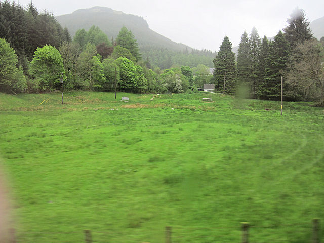
Coire Aodainn Images
Images are sourced within 2km of 56.141698/-5.0023184 or Grid Reference NS1398. Thanks to Geograph Open Source API. All images are credited.


Coire Aodainn is located at Grid Ref: NS1398 (Lat: 56.141698, Lng: -5.0023184)
Unitary Authority: Argyll and Bute
Police Authority: Argyll and West Dunbartonshire
What 3 Words
///walked.adding.outlines. Near Inveraray, Argyll & Bute
Nearby Locations
Related Wikis
Beinn Bheula
Beinn Bheula is a mountain located between Loch Goil and Loch Eck. It is part of the Arrochar Alps range. Beinn Bheula appears rugged from Lochgoilhead...

River Cur
The River Cur is a river in the Cowal peninsula, Argyll and Bute, western Scotland. The position of its source is uncertain, as it is formed from a large...

Glenbranter
Glenbranter; is a hamlet on the northwest shore of Loch Eck in the Argyll Forest Park, on the Cowal peninsula, Argyll and Bute in the West of Scotland...
Beinn Lochain
Beinn Lochain is one of the Arrochar Alps at 703 metres (2,306 ft), in the Argyll Highlands. The mountain is situated to the west of Lochgoilhead. It continues...
Cruach nam Miseag
Cruach nam Miseag is a mountain near Lochgoilhead within the Arrochar Alps, Scotland. It reaches a height of 606 m (1989 ft). It is located at NS182981...
Strachur
Strachur (Scottish Gaelic: Srath Chura) and Strathlachlan (Scottish Gaelic: Srath Lachlainn) are united parishes located on the Cowal peninsula, in Argyll...

Whistlefield, Argyll
Whistlefield is a hamlet on the east shore of Loch Eck on the Cowal peninsula, Argyll and Bute, West of Scotland. It is home to the Category C listed building...
Whistlefield Inn
The Whistlefield Inn is a Category C listed building in Whistlefield, Argyll and Bute, Scotland, about twelve miles northwest of Dunoon. Built in 1663...
Have you been to Coire Aodainn?
Leave your review of Coire Aodainn below (or comments, questions and feedback).