Coire Coulavie
Corrie (Glacial Valley) in Inverness-shire
Scotland
Coire Coulavie
The requested URL returned error: 429 Too Many Requests
If you have any feedback on the listing, please let us know in the comments section below.
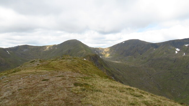
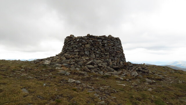
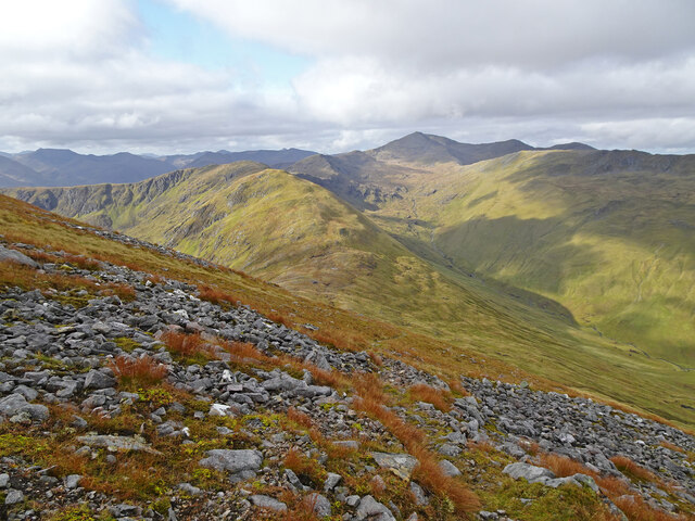
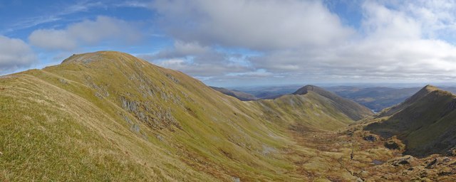
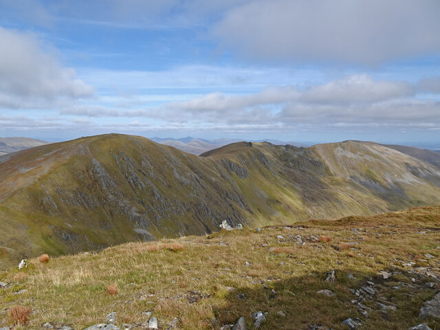
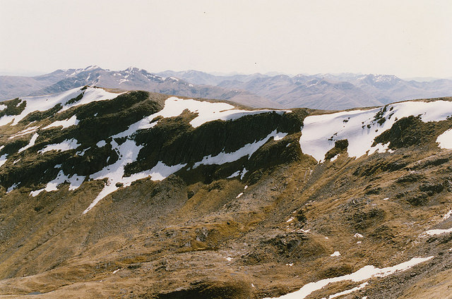
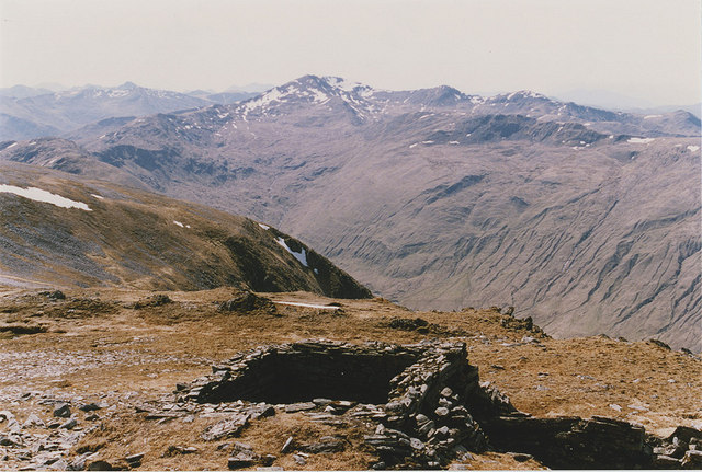
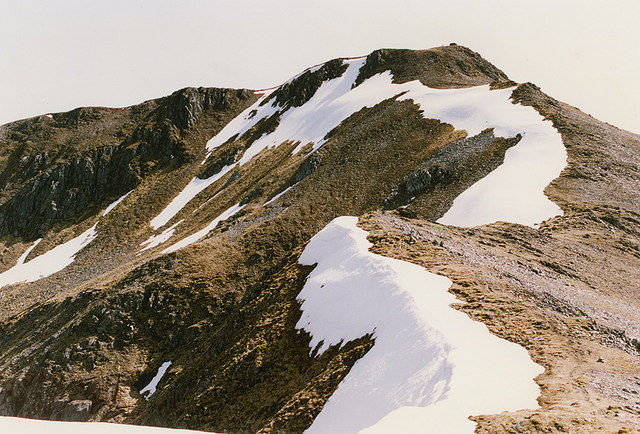
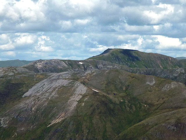
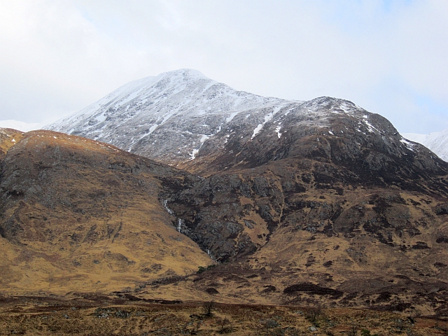
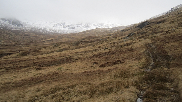
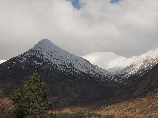
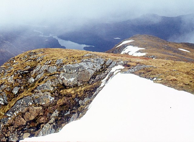
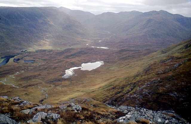
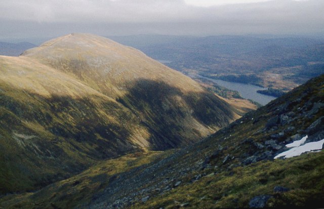
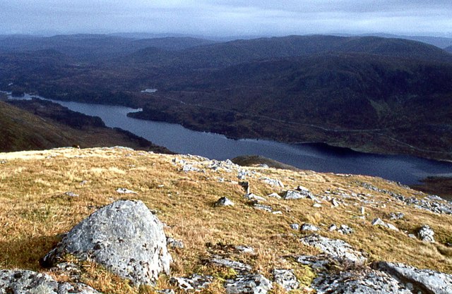
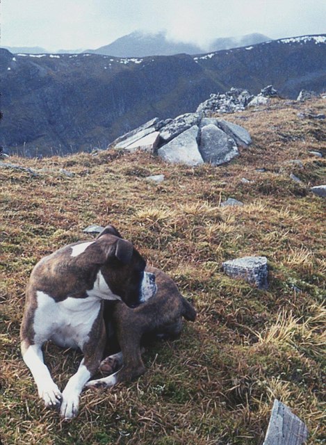
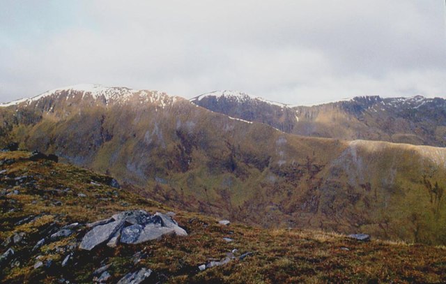
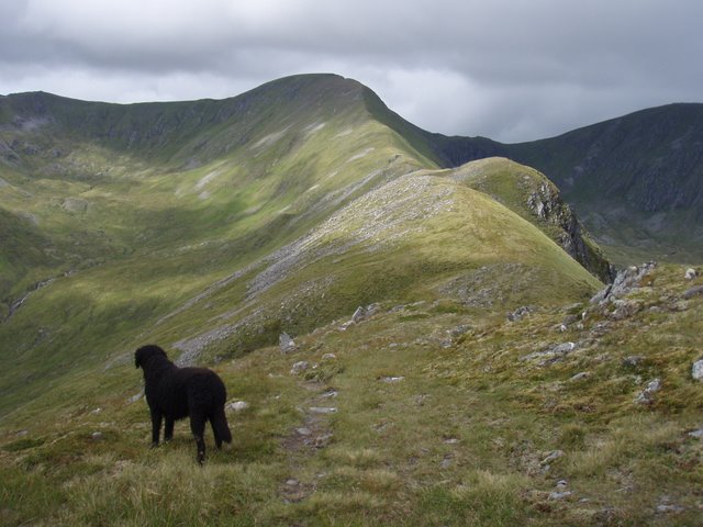
Coire Coulavie Images
Images are sourced within 2km of 57.263526/-5.115527 or Grid Reference NH1223. Thanks to Geograph Open Source API. All images are credited.
Coire Coulavie is located at Grid Ref: NH1223 (Lat: 57.263526, Lng: -5.115527)
Unitary Authority: Highland
Police Authority: Highlands and Islands
What 3 Words
///revision.motive.confining. Near Cannich, Highland
Nearby Locations
Related Wikis
Mam Sodhail
Mam Sodhail, or Màm Sabhail in Gaelic (meaning "rounded mountain of barns"), sometimes anglicised "Mam Soul", is a mountain with a height of 1,181 metres...

Càrn Eighe
Carn Eighe (Scottish Gaelic: Càrn Èite) is a mountain in the Northwest Highlands of Scotland. Rising to 1,183 metres (3,881 ft) above sea level, it is...

Glen Affric
Glen Affric (Scottish Gaelic: Gleann Afraig) is a glen south-west of the village of Cannich in the Highland region of Scotland, some 15 miles (25 kilometres...
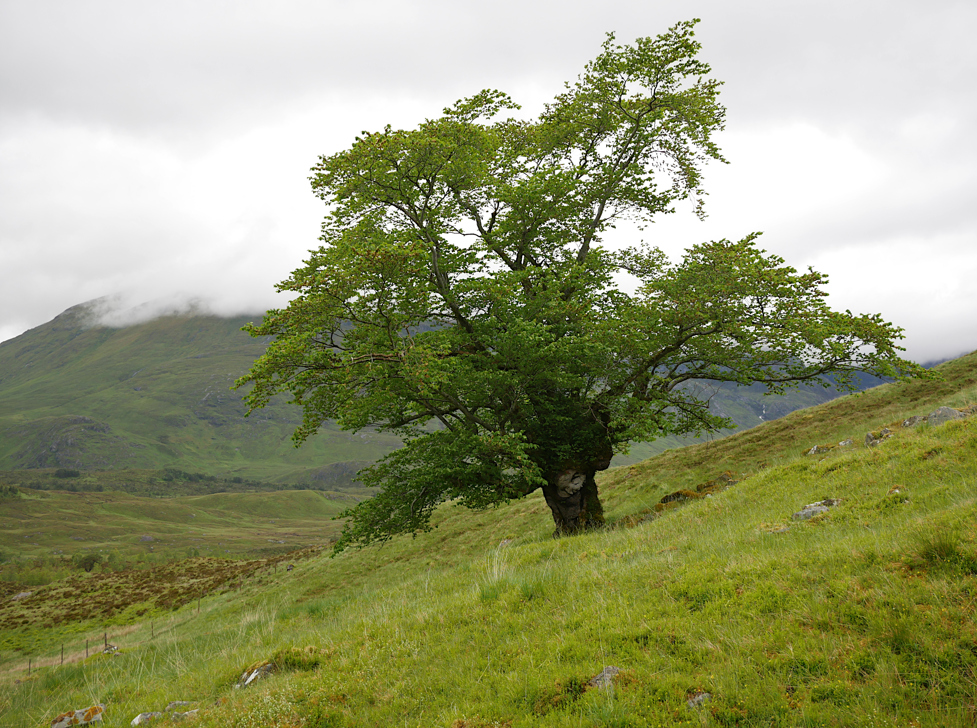
Last Ent of Affric
The Last Ent of Affric is an ancient elm in the Scottish Highlands, designated a Tree of National Special Interest (TNSI) by the Woodland Trust and named...
Have you been to Coire Coulavie?
Leave your review of Coire Coulavie below (or comments, questions and feedback).