Coire Chaluim
Corrie (Glacial Valley) in Argyllshire
Scotland
Coire Chaluim

Coire Chaluim, also known as Corrie, is a glacial valley located in Argyllshire, Scotland. Nestled amidst the breathtaking landscape of the Scottish Highlands, this valley is a popular destination for outdoor enthusiasts and nature lovers.
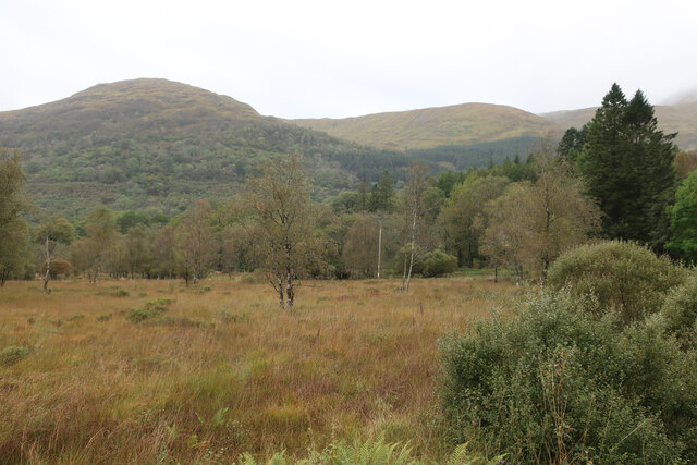
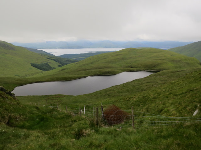
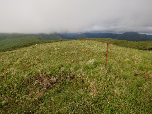
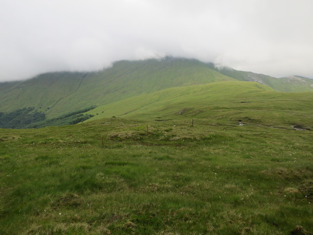
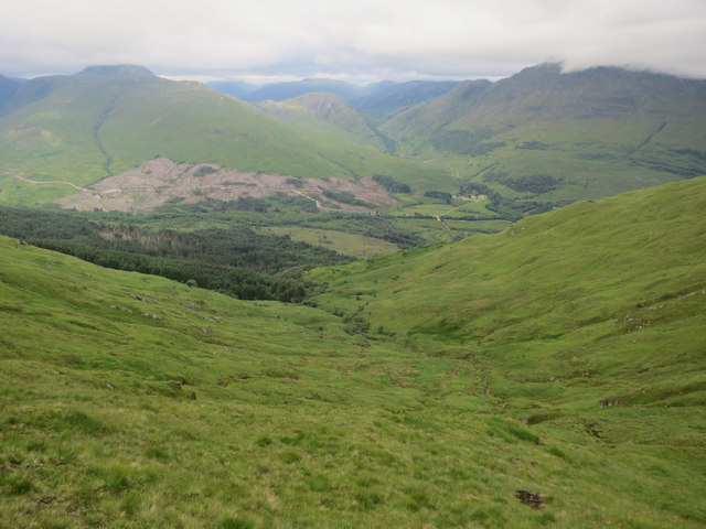
Coire Chaluim is situated in a remote and rugged region, characterized by its dramatic mountain peaks, pristine lochs, and lush greenery. The valley itself is flanked by steep and imposing slopes, which were carved out by ancient glaciers during the last Ice Age. This glacial activity has left behind a picturesque landscape of towering cliffs, cascading waterfalls, and meandering streams.
The valley is home to a diverse range of flora and fauna, with its sheltered location providing a haven for various species. Visitors to Coire Chaluim can expect to encounter an array of wildlife, including red deer, golden eagles, and otters. The valley is also known for its abundance of wildflowers, particularly during the summer months when the hillsides come alive with vibrant colors.
In addition to its natural beauty, Coire Chaluim offers a multitude of recreational activities. Hiking and mountaineering are popular pursuits, with several trails leading to the summit of nearby Munros, providing breathtaking panoramic views of the surrounding landscape. Fishing is another favored pastime, with the valley's lochs teeming with trout and salmon.
Coire Chaluim is a place of tranquility and awe-inspiring natural beauty, offering visitors a chance to immerse themselves in the untamed wilderness of the Scottish Highlands. Whether it's exploring the valley's rugged terrain, observing its rich wildlife, or simply marveling at the sheer grandeur of the surroundings, a visit to Coire Chaluim is sure to leave a lasting impression.
If you have any feedback on the listing, please let us know in the comments section below.
Coire Chaluim Images
Images are sourced within 2km of 56.603772/-5.2119744 or Grid Reference NN0250. Thanks to Geograph Open Source API. All images are credited.


Coire Chaluim is located at Grid Ref: NN0250 (Lat: 56.603772, Lng: -5.2119744)
Unitary Authority: Argyll and Bute
Police Authority: Argyll and West Dunbartonshire
What 3 Words
///neckline.braced.expansion. Near Glencoe, Highland
Nearby Locations
Related Wikis

Fraochaidh
Fraochaidh (879 m) is a mountain in the Grampian Mountains, located between Glen Coe and Oban on the west coast of Scotland. It lies on the border of Highland...

Beinn Sgulaird
Beinn Sgulaird or Beinn Sguiliaird is a mountain in the Lorn region of the Scottish Highlands, between Glen Creran and Glen Etive. It has a height of 937...

Achindarroch
Achadh nan Darach (English: Achindarroch or Achnandarach) is a hamlet in Highland, Scotland. It lies near the banks of Loch Linnhe on the A828 road, just...

Glasdrum Wood
Glasdrum Wood (Scottish Gaelic: Coille a’ Ghlasdroma) is national nature reserve (NNR) at the head of Loch Creran in Argyll and Bute on the west coast...
Have you been to Coire Chaluim?
Leave your review of Coire Chaluim below (or comments, questions and feedback).