Coire Dubh

Corrie (Glacial Valley) in Argyllshire

Scotland

Coire Dubh

Glen Duror bothy (Taigh Seumas a’ Ghlinne) The MBA bothy photographed on a dull day in October 1991 when making a through walk between Duror and Ballachulish. In the years since then the roof has changed; Elliot Simpson's image from September 2012 shows it still to be of corrugated metal but now coloured red - <a title="https://www.geograph.org.uk/photo/3152858" href="https://www.geograph.org.uk/photo/3152858">Link</a> . The 'hipped' style has also changed to a gable form. The MBA website still shows the roof as depicted in Elliot's photo.
Glen Duror bothy (Taigh Seumas a’ Ghlinne) Credit: Trevor Littlewood

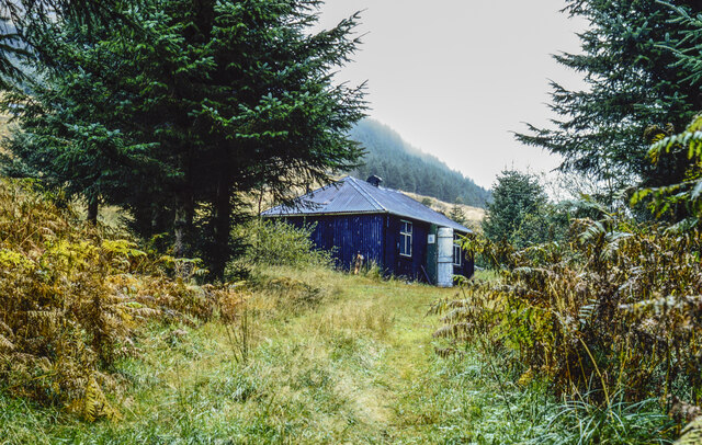
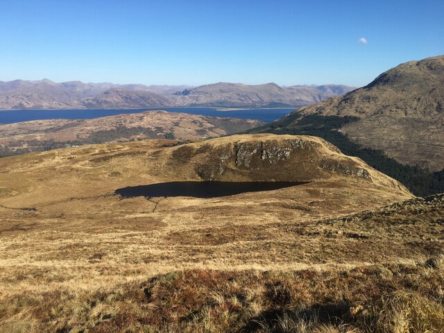
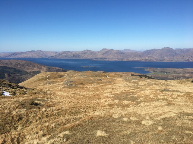
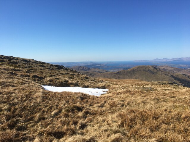
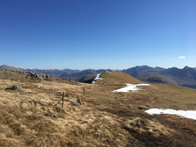
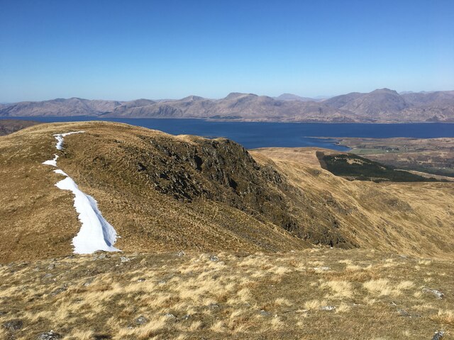
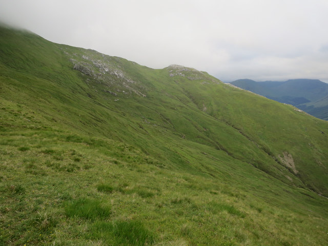
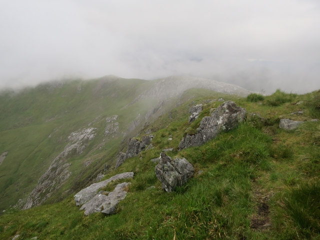
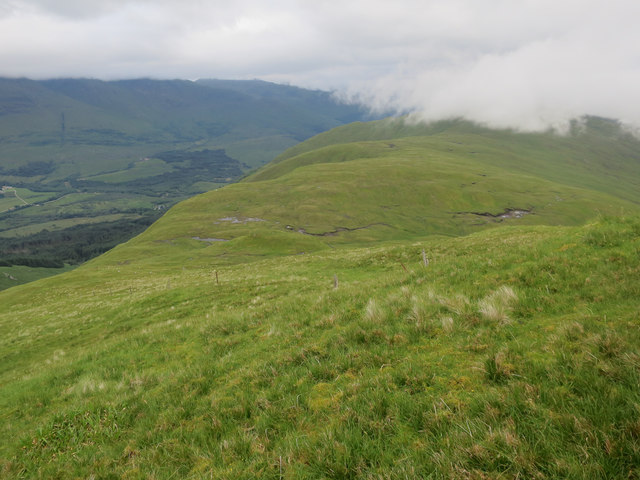
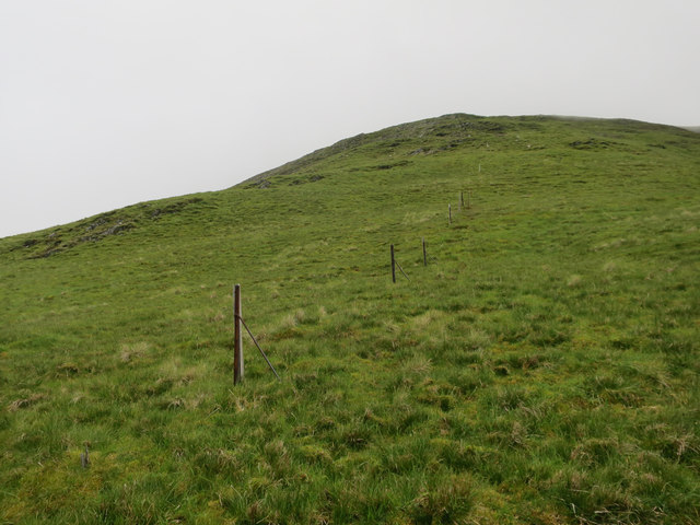
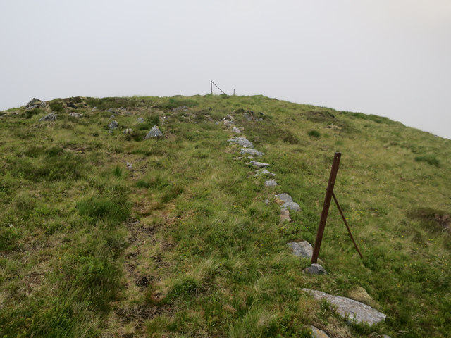
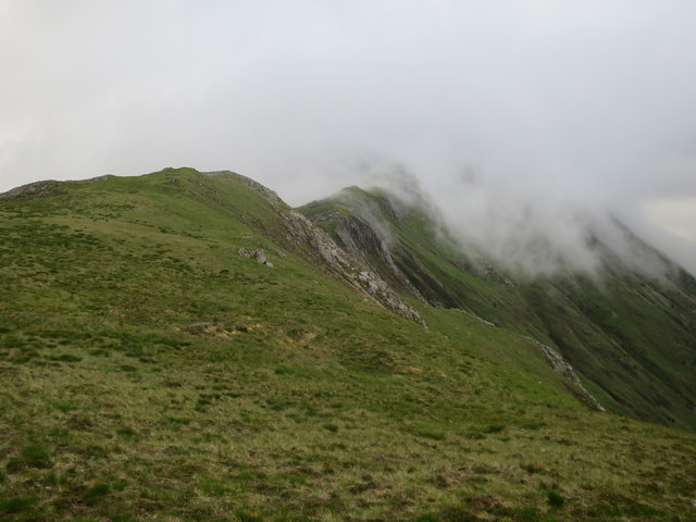
Coire Dubh is a stunning glacial valley located in the region of Argyllshire, Scotland. The valley is surrounded by steep, rugged mountains, creating a dramatic and picturesque landscape that is a popular destination for hikers and nature enthusiasts.

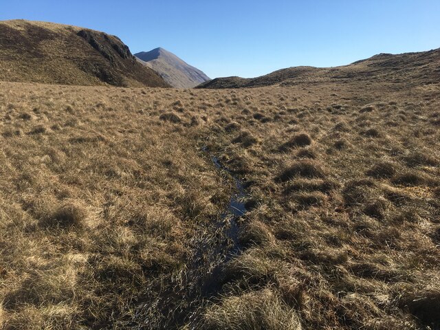
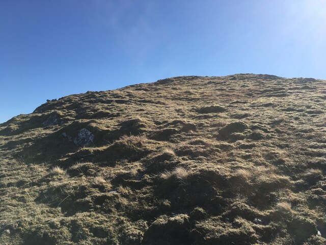
The valley is characterized by its U-shaped profile, a result of the glacial erosion that took place during the last Ice Age. This geological process has left behind a series of moraines, boulders, and other glacial debris that add to the valley's unique charm.

Coire Dubh is home to a variety of plant and animal species, including rare alpine plants and birds of prey such as golden eagles. The valley's diverse ecosystem makes it a haven for wildlife enthusiasts and birdwatchers.

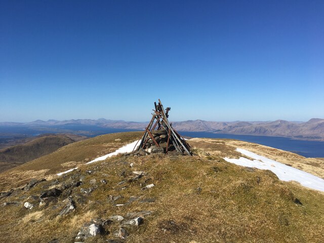
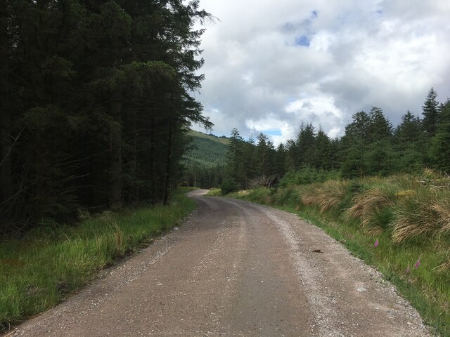
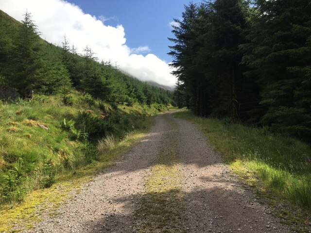
Visitors to Coire Dubh can enjoy a range of outdoor activities, including hiking, rock climbing, and photography. The valley is also a popular spot for picnics and relaxation, offering stunning views of the surrounding mountains and valleys.

Overall, Coire Dubh is a must-visit destination for anyone looking to experience the natural beauty and rugged charm of the Scottish Highlands.

If you have any feedback on the listing, please let us know in the comments section below.

Coire Dubh Images

Images are sourced within 2km of 56.619855/-5.2136839 or Grid Reference NN0252. Thanks to Geograph Open Source API. All images are credited.

Glen Duror bothy (Taigh Seumas a’ Ghlinne) The MBA bothy photographed on a dull day in October 1991 when making a through walk between Duror and Ballachulish. In the years since then the roof has changed; Elliot Simpson's image from September 2012 shows it still to be of corrugated metal but now coloured red - <a title="https://www.geograph.org.uk/photo/3152858" href="https://www.geograph.org.uk/photo/3152858">Link</a> . The 'hipped' style has also changed to a gable form. The MBA website still shows the roof as depicted in Elliot's photo.
Glen Duror bothy (Taigh Seumas a’ Ghlinne)
The MBA bothy photographed on a dull day in October 1991 when making a through walk between Duror and Ballachulish. In the years since then the roof has changed; Elliot Simpson's image from September 2012 shows it still to be of corrugated metal but now coloured red - Link . The 'hipped' style has also changed to a gable form. The MBA website still shows the roof as depicted in Elliot's photo.
Small stream draining an unnamed lochan
Unnamed lochan above Glen Duror
Grassy slope above Coire na Capuill
Grassy slope above Coire na Capuill Loch Linnhe and the hills of Ardgour beyond are seen in the distance.
Grassy slope above Coire na Capuill
Loch Linnhe and the hills of Ardgour beyond are seen in the distance.
Snow patch near the summit of Fraochaidh
Cairn atop Fraochaidh
Eastern ridge of Fraochaidh
Coire na Capuill
Coire na Capuill
Forestry road in Glen Duror
Looking into Coire Mulrooney
Ridge from Fraochaidh
Slope down from Fraochaidh
The steep way up Fraochaidh There is a good path along the ridge to this Corbett.
The steep way up Fraochaidh
There is a good path along the ridge to this Corbett.
Remains of a fenceline A slight path and the fenceposts make navigation easy.
Remains of a fenceline
A slight path and the fenceposts make navigation easy.
Cloud rolling over Bealach Dearg
Show me another place!

Coire Dubh is located at Grid Ref: NN0252 (Lat: 56.619855, Lng: -5.2136839)

Unitary Authority: Highland

Police Authority: Highlands and Islands

What 3 Words

///yell.expiring.blog. Near Glencoe, Highland

Nearby Locations

Coire Dubh

Related Wikis

Fraochaidh

Fraochaidh (879 m) is a mountain in the Grampian Mountains, located between Glen Coe and Oban on the west coast of Scotland. It lies on the border of Highland...

Achindarroch

Achadh nan Darach (English: Achindarroch or Achnandarach) is a hamlet in Highland, Scotland. It lies near the banks of Loch Linnhe on the A828 road, just...

Beinn a' Bheithir

Beinn a' Bheithir (Scottish Gaelic for 'mountain of the beast' / 'mountain of the thunderbolt') is a mountain south of Ballachulish and Loch Leven in the...

Duror

Duror (Scottish Gaelic: An Dùrar, meaning hard water), occasionally Duror of Appin, is a small, remote coastal village that sits at the base of Glen Duror...

Nearby Amenities

Located within 500m of 56.619855,-5.2136839
Fraochaidh
Corbett: yes
Description: Heathery
Ele: 879
Graham: no
Marilyn: yes
Munro: no
Natural: peak
Prominence: 551
Lat/Long: 56.6155907/-5.2141678
The data included in this document is from www.openstreetmap.org. The data is made available under ODbL.

Have you been to Coire Dubh?

Leave your review of Coire Dubh below (or comments, questions and feedback).