Stob Coire Chaluim
Hill, Mountain in Argyllshire
Scotland
Stob Coire Chaluim

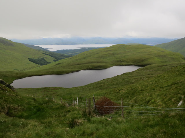
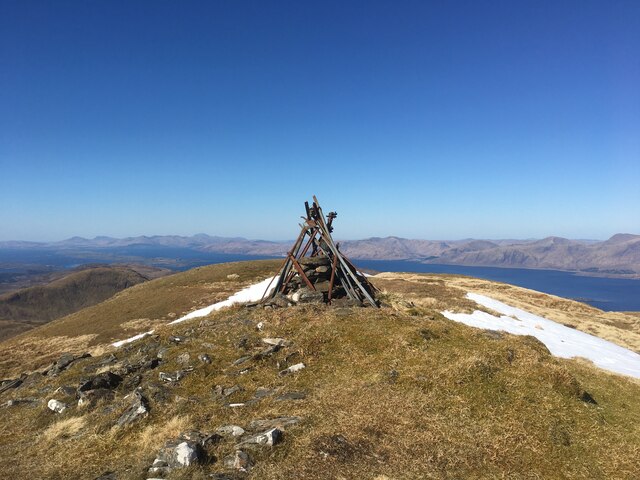
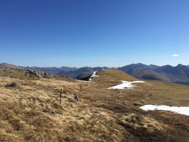
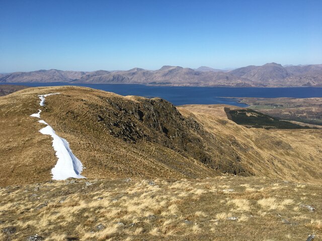
Stob Coire Chaluim is a prominent hill located in Argyllshire, Scotland. It is part of the larger mountain range known as the Arrochar Alps. Standing at an impressive height of 940 meters (3,084 feet), Stob Coire Chaluim offers breathtaking views of the surrounding landscapes and is a popular destination for hikers and mountaineers.
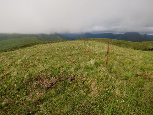
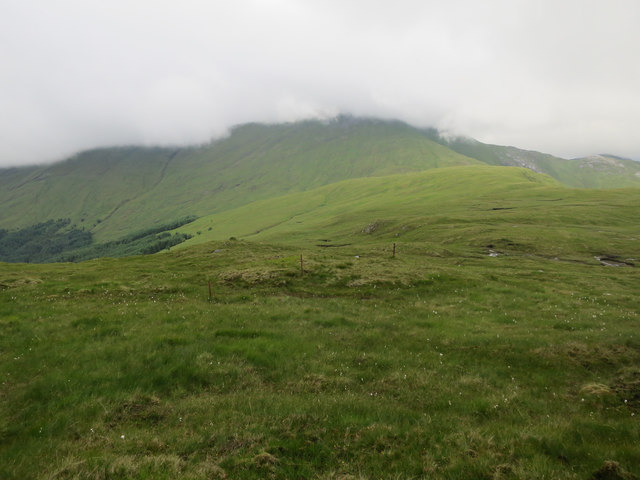
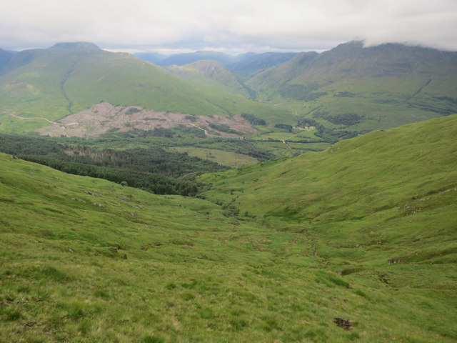
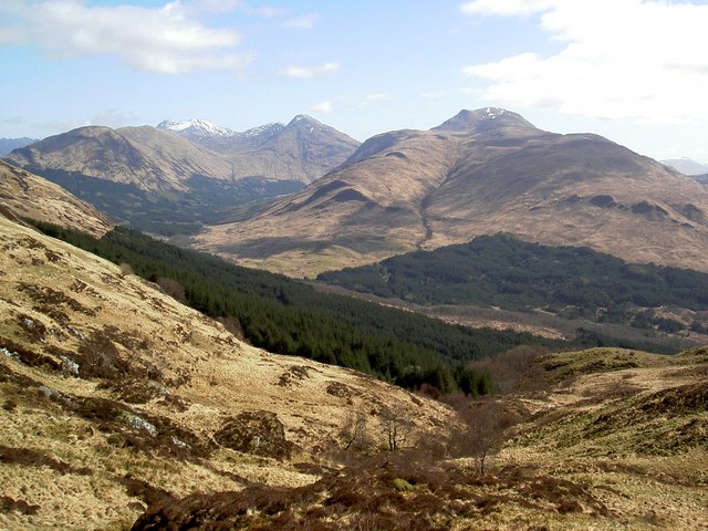
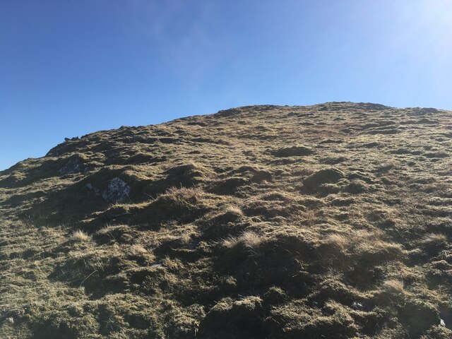
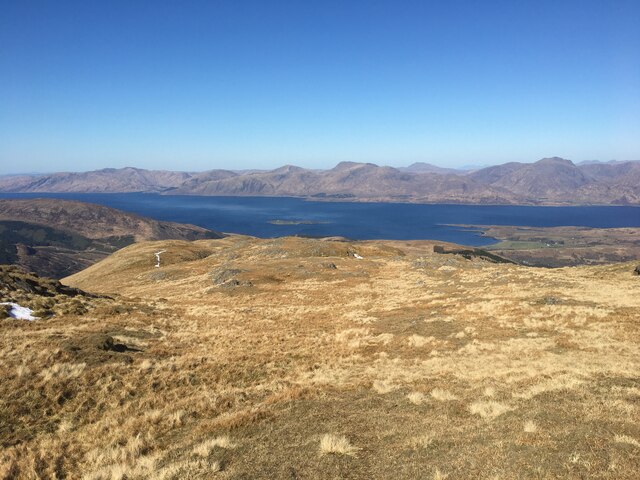
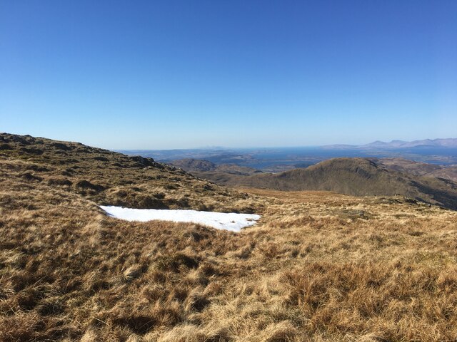
The hill is characterized by its steep and rugged terrain, with rocky slopes and crags that present a challenge to those attempting to ascend it. However, the reward at the summit is well worth the effort, as it provides panoramic views of Loch Long and Loch Lomond, as well as the neighboring peaks of the Arrochar Alps, such as Beinn Ime and Beinn Narnain.
Stob Coire Chaluim is often accessed from the small village of Arrochar, which is situated at the head of Loch Long. There are several established routes to reach the summit, including the popular Coire Chaluim Traverse, which offers a more challenging and exhilarating experience for experienced climbers.
The hill is also known for its rich wildlife, with various species of birds, including ptarmigans and golden eagles, often spotted in the area. In addition, the lower slopes of Stob Coire Chaluim are covered in heather and grasses, providing a vibrant and colorful landscape during the summer months.
Overall, Stob Coire Chaluim is a magnificent hill that offers a rewarding and exhilarating experience for outdoor enthusiasts, with its stunning views, challenging terrain, and diverse wildlife making it a must-visit destination in Argyllshire.
If you have any feedback on the listing, please let us know in the comments section below.
Stob Coire Chaluim Images
Images are sourced within 2km of 56.606895/-5.2153367 or Grid Reference NN0250. Thanks to Geograph Open Source API. All images are credited.


Stob Coire Chaluim is located at Grid Ref: NN0250 (Lat: 56.606895, Lng: -5.2153367)
Unitary Authority: Argyll and Bute
Police Authority: Argyll and West Dunbartonshire
What 3 Words
///chainsaw.equality.countries. Near Glencoe, Highland
Nearby Locations
Related Wikis

Fraochaidh
Fraochaidh (879 m) is a mountain in the Grampian Mountains, located between Glen Coe and Oban on the west coast of Scotland. It lies on the border of Highland...

Achindarroch
Achadh nan Darach (English: Achindarroch or Achnandarach) is a hamlet in Highland, Scotland. It lies near the banks of Loch Linnhe on the A828 road, just...

Beinn Sgulaird
Beinn Sgulaird or Beinn Sguiliaird is a mountain in the Lorn region of the Scottish Highlands, between Glen Creran and Glen Etive. It has a height of 937...

Duror
Duror (Scottish Gaelic: An Dùrar, meaning hard water), occasionally Duror of Appin, is a small, remote coastal village that sits at the base of Glen Duror...

Beinn a' Bheithir
Beinn a' Bheithir (Scottish Gaelic for 'mountain of the beast' / 'mountain of the thunderbolt') is a mountain south of Ballachulish and Loch Leven in the...

Glasdrum Wood
Glasdrum Wood (Scottish Gaelic: Coille a’ Ghlasdroma) is national nature reserve (NNR) at the head of Loch Creran in Argyll and Bute on the west coast...

Duror railway station
Duror was a railway station on Cuil Bay on the east shore of Loch Linnhe at Keil, south of Duror, in Highland region. It was on the Ballachulish branch...

Beinn Fhionnlaidh (Creran)
Beinn Fhionnlaidh is a mountain in the West Highlands of Scotland. It is situated between Glen Etive and Glen Creran, to the south of Glen Coe. == References ==
Related Videos
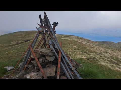
Fraochaidh summit view
Panoramic view from the top of Fraochaidh.

Insta 360 Fairy Bridge of Glen Creran near Appin
insta 360 camera turns trippy at Fairy Bridge near Appin (scotland)
Cold British Weather at the Fairy Bridge of Glen Cretan Scotland | British and Filipino Travel Vlog
Get to know more here https://www.patreon.com/AdventuresOfaFilipina We love traveling whether in tropical countries or in ...
Have you been to Stob Coire Chaluim?
Leave your review of Stob Coire Chaluim below (or comments, questions and feedback).