Coir' a' Chearcaill

Corrie (Glacial Valley) in Inverness-shire

Scotland

Coir' a' Chearcaill

Tents and bothy at Barrisdale, 1991 Two tents, (there were others), and the bothy / bunkhouse at Barrisdale in perfect weather for making ascents to the three Munros in the vicinity.
Another Munro is in view distantly at the centre of the image: Beinn Sgritheall, across Loch Hourn, a small section of which can be seen.
Tents and bothy at Barrisdale, 1991 Credit: Trevor Littlewood

The requested URL returned error: 429 Too Many Requests

If you have any feedback on the listing, please let us know in the comments section below.

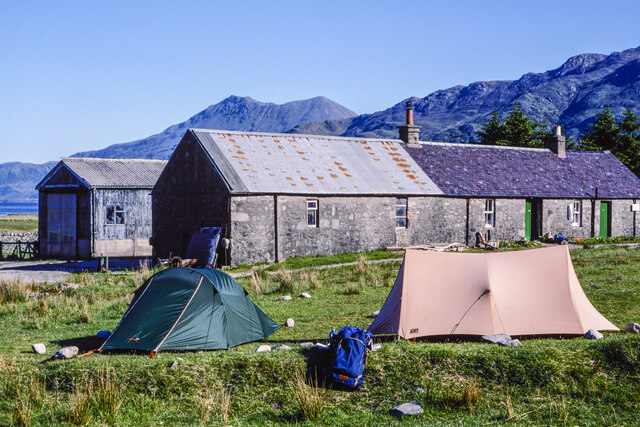
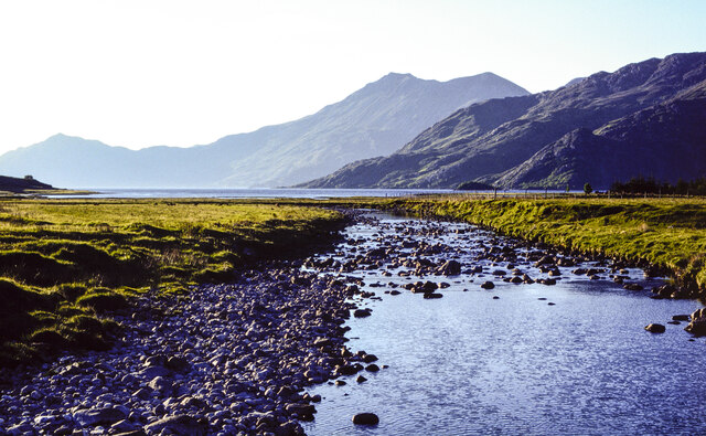
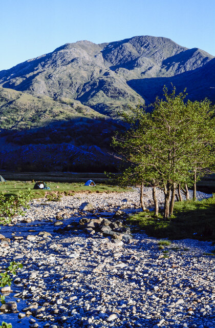
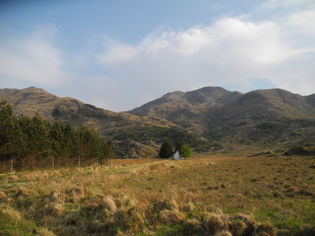
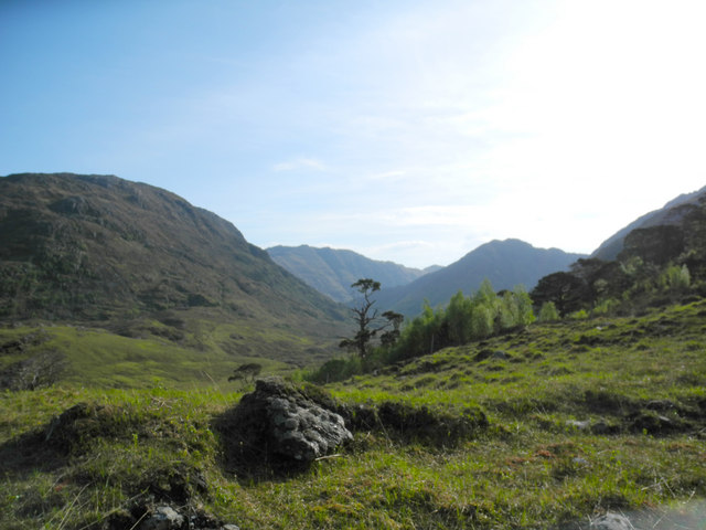
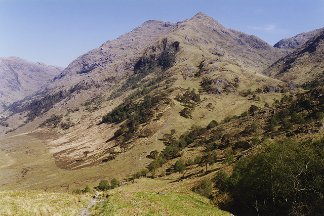
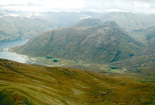
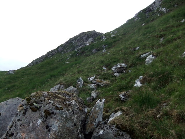
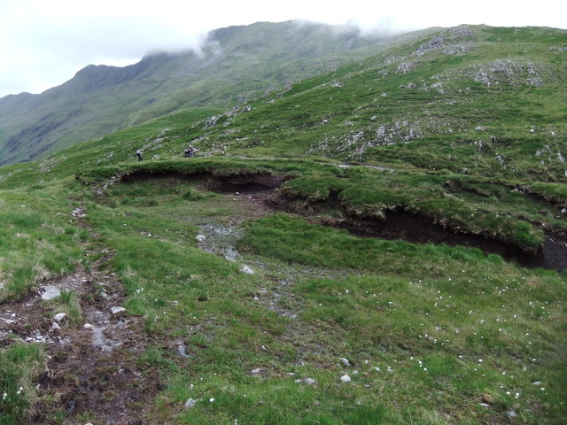
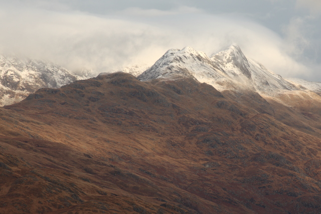
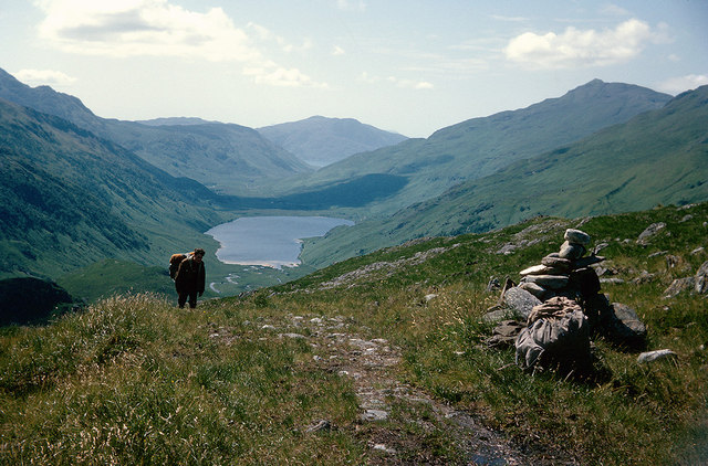
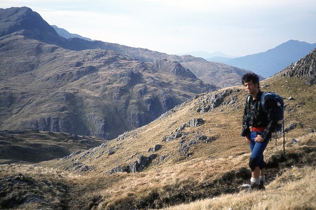
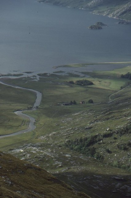
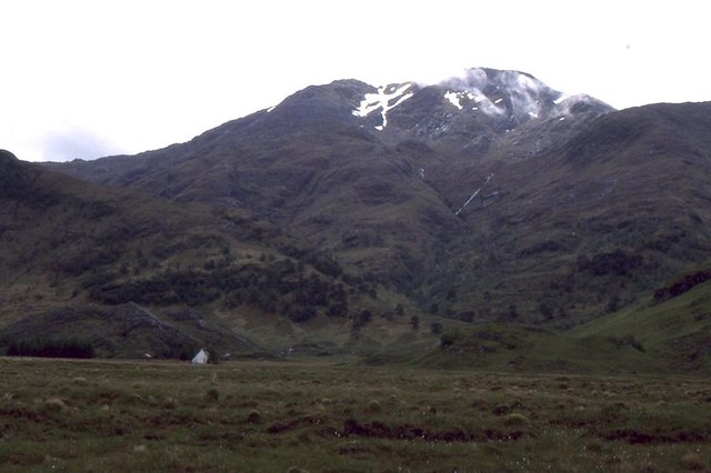
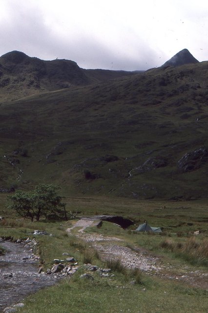
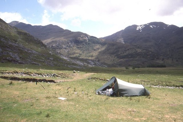
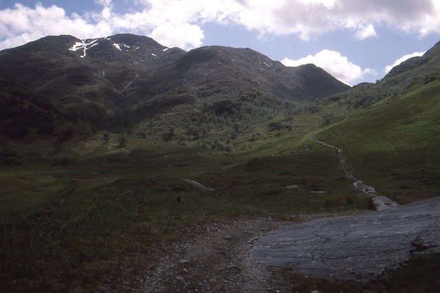
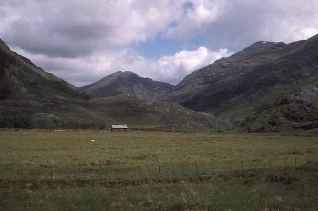
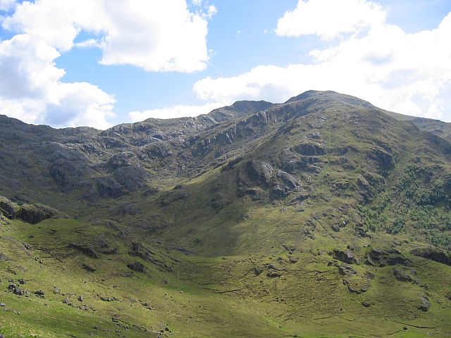
Coir' a' Chearcaill Images

Images are sourced within 2km of 57.06938/-5.5403509 or Grid Reference NG8503. Thanks to Geograph Open Source API. All images are credited.

Tents and bothy at Barrisdale, 1991 Two tents, (there were others), and the bothy / bunkhouse at Barrisdale in perfect weather for making ascents to the three Munros in the vicinity.
Another Munro is in view distantly at the centre of the image: Beinn Sgritheall, across Loch Hourn, a small section of which can be seen.
Tents and bothy at Barrisdale, 1991
Two tents, (there were others), and the bothy / bunkhouse at Barrisdale in perfect weather for making ascents to the three Munros in the vicinity. Another Munro is in view distantly at the centre of the image: Beinn Sgritheall, across Loch Hourn, a small section of which can be seen.
River Barrisdale flowing towards Barrisdale Bay, 1991 The River Barrisdale flowing downstream from a bridge to enter the bay which is part of Loch Hourn.
The mountain at the centre of the image is Beinn Sgritheall.
River Barrisdale flowing towards Barrisdale Bay, 1991
The River Barrisdale flowing downstream from a bridge to enter the bay which is part of Loch Hourn. The mountain at the centre of the image is Beinn Sgritheall.
Bouldery bed of River Barrisdale The extent of the boulderiness of the course of the river betrays the breadth of the water flow at times of spate. The view is upstream from the bridge over the river just south of the campsite and bothy. Several tents are pitched further on. 
Luinne Bheinn is the mountain.
Bouldery bed of River Barrisdale
The extent of the boulderiness of the course of the river betrays the breadth of the water flow at times of spate. The view is upstream from the bridge over the river just south of the campsite and bothy. Several tents are pitched further on. Luinne Bheinn is the mountain.
The White House, Knoydart, Luinne Bheinn behind Luinne Bheinn is a popular hill walk close to The White House, which is part of Barisdale Estate and can be rented by walkers who want to escape the notorious Knoydart midges.
The White House, Knoydart, Luinne Bheinn behind
Luinne Bheinn is a popular hill walk close to The White House, which is part of Barisdale Estate and can be rented by walkers who want to escape the notorious Knoydart midges.
Foot of north-west ridge of Sgurr a' Choire bheithe, Glen Barrisdale behind The woodland, Doire Asamaidh, clothes the foot of the ridge. Much of the woodland in the area is regenerating, having been fenced off.
Foot of north-west ridge of Sgurr a' Choire bheithe, Glen Barrisdale behind
The woodland, Doire Asamaidh, clothes the foot of the ridge. Much of the woodland in the area is regenerating, having been fenced off.
Sgùrr a' Choire Bheithe from the Màm Barrisdale path With Gleann Barrisdale to the left and Gleann Unndalain to the right.
Sgùrr a' Choire Bheithe from the Màm Barrisdale path
With Gleann Barrisdale to the left and Gleann Unndalain to the right.
Barrisdale from the east ridge of Stob a' Chearcaill After an overnight bivvi on Ladhar Bheinn, it was an early start to get to the  Mam Barrisdale and onwards to Luinne Bheinn and Meall Buidhe before the walk out to Inverie. The route down to the bealach was a bit of a scramble, rather like coming off Maol Chean-Dearg to cross over to Sgorr Ruadh. The walk ended in darkness along the track and on reaching Inverie, there was apparently no accommodation so a second bivvi, this time on the beach, saved a bit of cash which helped pay for the ferry back to Mallaig. See also <a href="https://www.geograph.org.uk/photo/1069958">NG8303 : Bivvi ledge on Ladhar Bheinn</a> and <a href="https://www.geograph.org.uk/photo/1070028">NM7799 : Beach life</a>.
Barrisdale from the east ridge of Stob a' Chearcaill
After an overnight bivvi on Ladhar Bheinn, it was an early start to get to the Mam Barrisdale and onwards to Luinne Bheinn and Meall Buidhe before the walk out to Inverie. The route down to the bealach was a bit of a scramble, rather like coming off Maol Chean-Dearg to cross over to Sgorr Ruadh. The walk ended in darkness along the track and on reaching Inverie, there was apparently no accommodation so a second bivvi, this time on the beach, saved a bit of cash which helped pay for the ferry back to Mallaig. See also NG8303 : Bivvi ledge on Ladhar Bheinn and NM7799 : Beach life.
Bachd Mhic an Tosaich, Luinne Bheinn
Mam Barrisdale
Mam Barrisdale
Stob a' Chearcaill viewed from A' Chruach
At the top of the pass to Barrisdale With rusksacks of camping gear, the top of Mam Barrisdale is a welcome sight.  Below lies Loch an Dubh-Lochain beside which we had spent the night.  Next stop Barrisdale and the afternoon postman's boat to Corran across Loch Hourn.  Those were the days!
At the top of the pass to Barrisdale
With rusksacks of camping gear, the top of Mam Barrisdale is a welcome sight. Below lies Loch an Dubh-Lochain beside which we had spent the night. Next stop Barrisdale and the afternoon postman's boat to Corran across Loch Hourn. Those were the days!
Ascent of the north ridge of Luinne Bheinn Looking towards Stob a' Chearcaill.
Ascent of the north ridge of Luinne Bheinn
Looking towards Stob a' Chearcaill.
Barisdale View from on the west ridge of Sgùrr a' Choire Bheithe.
Barisdale
View from on the west ridge of Sgùrr a' Choire Bheithe.
Bog, Barrisdale There is a large marshy area at Barrisdale, crossed by the usual route up Ladhar Bheinn.   Barrisdale is dominated by the fine peak of Luinne Bheinn.
Bog, Barrisdale
There is a large marshy area at Barrisdale, crossed by the usual route up Ladhar Bheinn. Barrisdale is dominated by the fine peak of Luinne Bheinn.
Bridge, Barisdale It had just been repaired after being broken up by visitors for firewood.
Bridge, Barisdale
It had just been repaired after being broken up by visitors for firewood.
Camping, Barisdale There is a camp site at Barisdale. It can get very busy, especially during English bank holidays.  This was a June visit and there was no problems with midges however it did rain a lot.  Part of a trip centred around munro completion.  Took a boat across Loch Hourn, did Ladhar Bheinn in snow, followed by a very wet day on Meall Bhuidhe and a good day on Sgùrr a' Choire Bheithe.

The tent is an Ultimate Peapod which was a popular model in the 1980s.
Camping, Barisdale
There is a camp site at Barisdale. It can get very busy, especially during English bank holidays. This was a June visit and there was no problems with midges however it did rain a lot. Part of a trip centred around munro completion. Took a boat across Loch Hourn, did Ladhar Bheinn in snow, followed by a very wet day on Meall Bhuidhe and a good day on Sgùrr a' Choire Bheithe. The tent is an Ultimate Peapod which was a popular model in the 1980s.
Path, Barisdale The path for Lochan Breac or Inverie under Luinne Bheinn.
Path, Barisdale
The path for Lochan Breac or Inverie under Luinne Bheinn.
Glen Barisdale View up one of the many steep sided east-west glens along the west coast of Scotland.  The hill at the back is Slat Bheinn (which I have yet to visit). Sgùrr a' Choire Bheithe, which I was climbing at the time, on the right.
Glen Barisdale
View up one of the many steep sided east-west glens along the west coast of Scotland. The hill at the back is Slat Bheinn (which I have yet to visit). Sgùrr a' Choire Bheithe, which I was climbing at the time, on the right.
Show me another place!

Coir' a' Chearcaill is located at Grid Ref: NG8503 (Lat: 57.06938, Lng: -5.5403509)

Unitary Authority: Highland

Police Authority: Highlands and Islands

What 3 Words

///ringside.ecologist.sheet. Near Glenelg, Highland

Related Wikis

Luinne Bheinn

Luinne Bheinn (939 m) is a mountain in the Northwest Highlands of Scotland, on the Knoydart Peninsula in Lochaber. The mountain is rough and rocky. The...

Ladhar Bheinn

Ladhar Bheinn is the highest mountain in the Knoydart region of the Highlands of Scotland. It is the most westerly Munro on the Scottish mainland. The...

Meall Buidhe, Knoydart

Meall Buidhe (946 m) is a mountain in the Northwest Highlands, Scotland. It lies on the Knoydart peninsula in Lochaber. A rocky mountain, Meall Buidhe...

Sgùrr a' Choire-bheithe

Sgùrr a' Choire-bleithe is a 913-m mountain in the remote Knoydart area of Lochaber, Northwest Highlands, Scotland. It is one of highest Corbetts at 913...

Nearby Amenities

Located within 500m of 57.06938,-5.5403509
Stob na Muicraidh
Ele: 640
Natural: peak
Lat/Long: 57.0650903/-5.5425379
The data included in this document is from www.openstreetmap.org. The data is made available under ODbL.

Have you been to Coir' a' Chearcaill?

Leave your review of Coir' a' Chearcaill below (or comments, questions and feedback).