Coire Seilich

Corrie (Glacial Valley) in Ross-shire

Scotland

Coire Seilich

Glas Eilean and Ardintoul Bay The flat grassy island in Loch Alsh being put to good use, as sheep were grazing there.
Glas Eilean and Ardintoul Bay Credit: Jim Barton

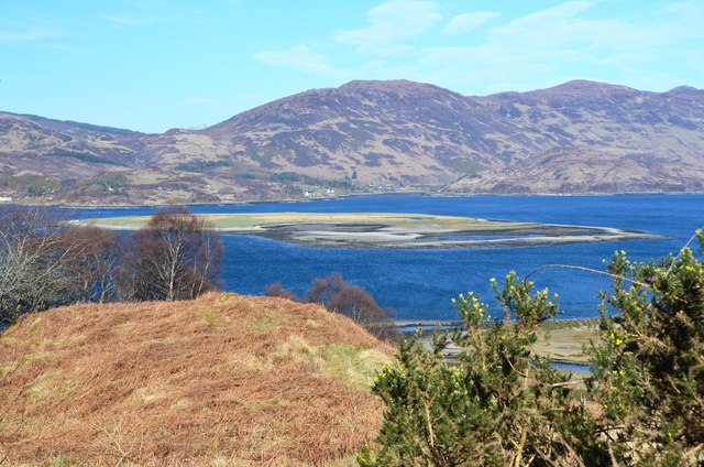
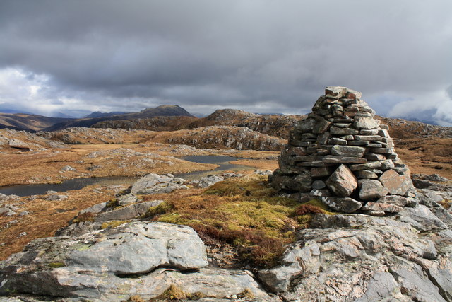
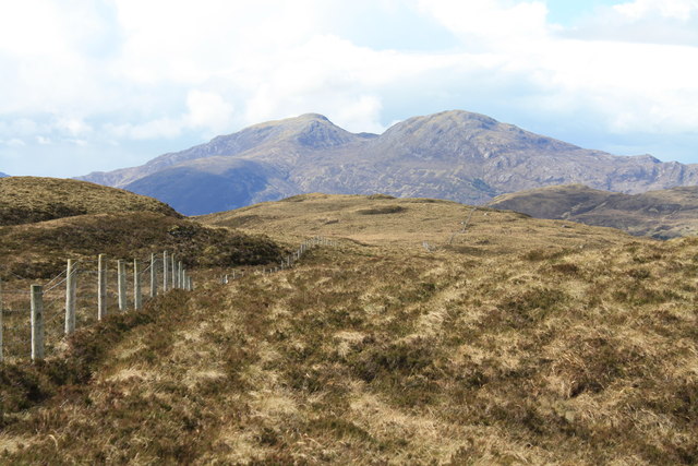
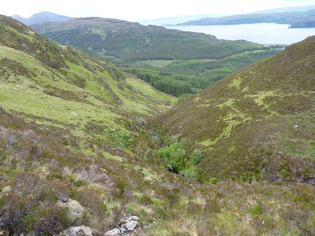
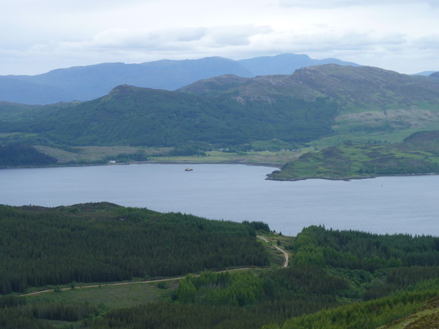
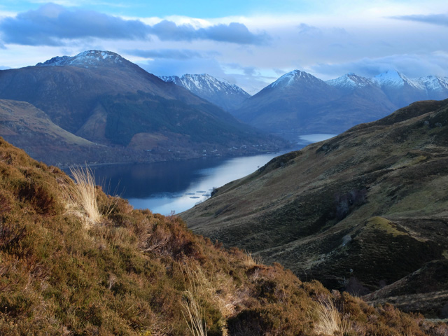
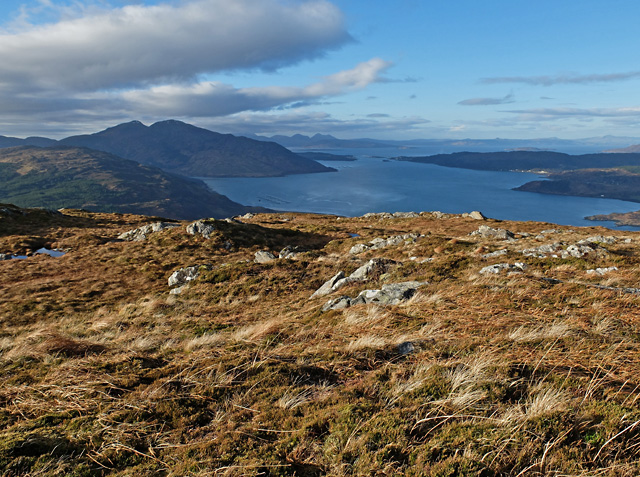
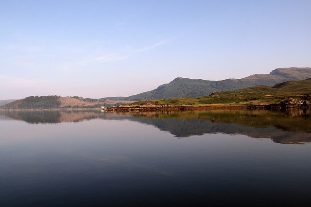
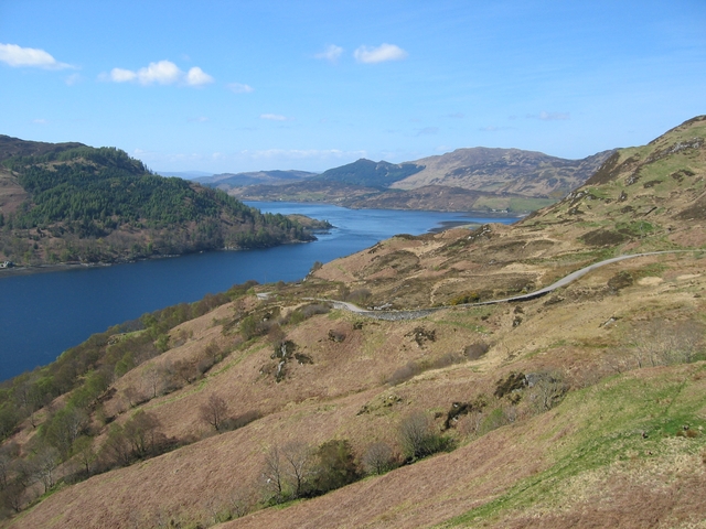
Coire Seilich, also known as Corrie, is a glacial valley located in Ross-shire, Scotland. It is situated in the western part of the county, near the village of Achnasheen. The valley is surrounded by majestic mountains, making it a popular destination for hikers and nature enthusiasts.

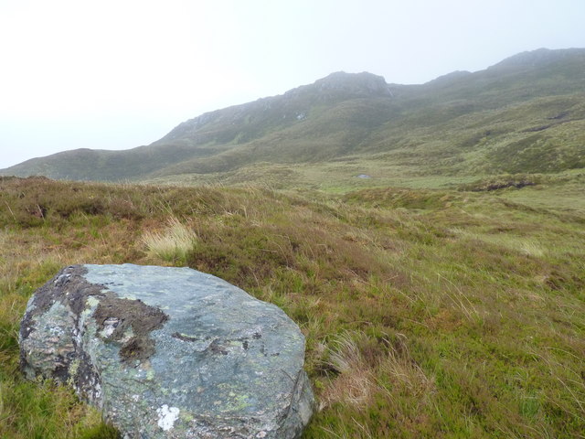
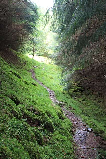
The name "Coire Seilich" translates to "Willow Corrie" in English, which references the presence of willow trees in the area. This gives the valley a picturesque and serene atmosphere, adding to its natural beauty. The landscape of Coire Seilich is characterized by steep slopes and a U-shaped valley, which is a typical feature of glacial erosion.

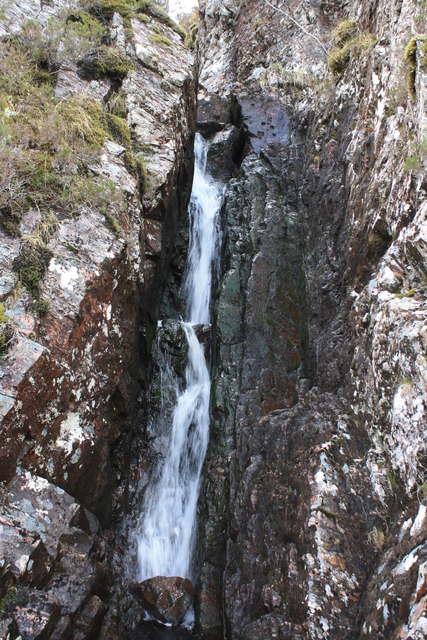
The valley is home to diverse wildlife, including various bird species, such as ptarmigans and golden eagles, which can often be spotted soaring above the mountains. Additionally, the streams and lochs in the area support populations of fish, including trout and salmon.

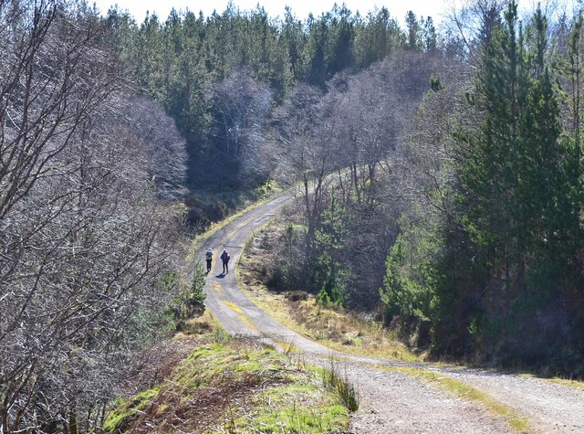
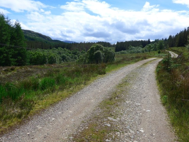
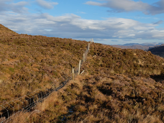
Coire Seilich attracts outdoor enthusiasts due to its extensive network of hiking trails. These trails cater to different levels of experience, offering both challenging routes for seasoned hikers and easier paths for beginners. The panoramic views of the surrounding mountains and the tranquility of the valley make it a captivating experience for visitors.

The valley is also a popular spot for rock climbing, with its craggy cliffs providing exciting opportunities for climbers. However, it is important for climbers to have appropriate skills and equipment, as the terrain can be demanding.

Overall, Coire Seilich in Ross-shire offers a stunning natural landscape, diverse wildlife, and a range of outdoor activities, making it an ideal destination for those seeking adventure and tranquility in the Scottish Highlands.

If you have any feedback on the listing, please let us know in the comments section below.

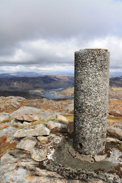
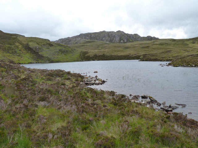
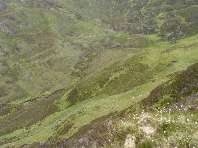
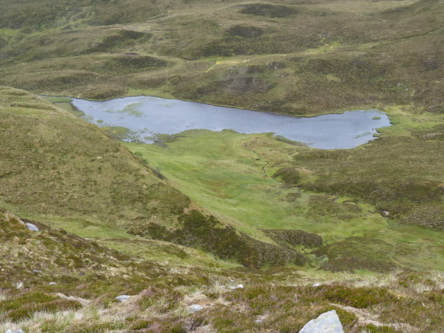
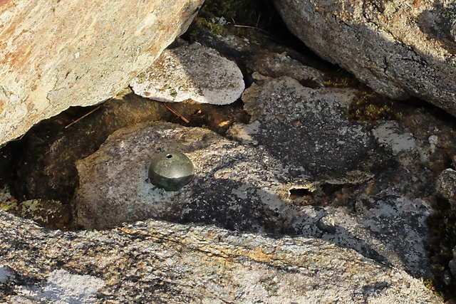
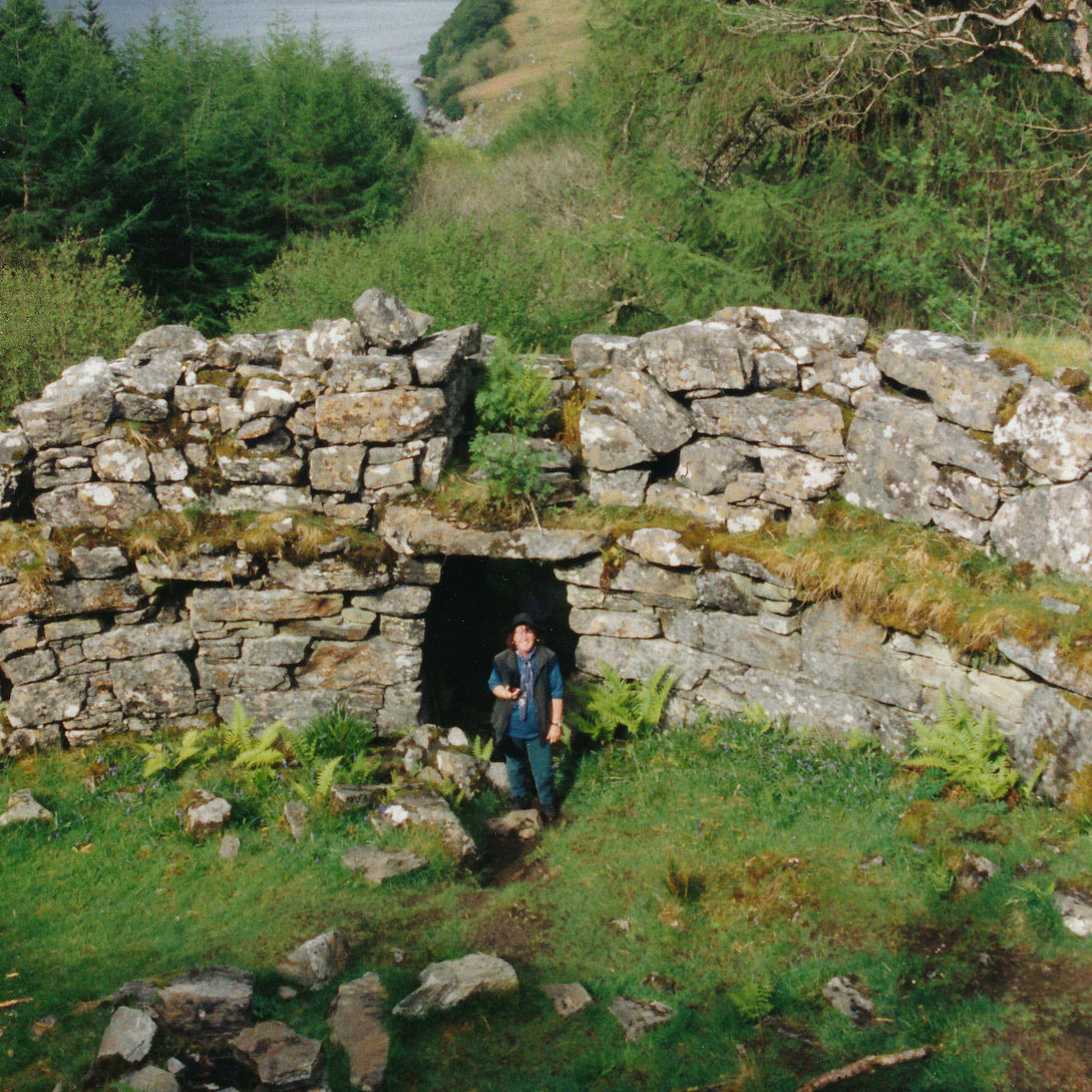
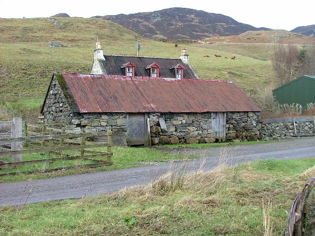
Coire Seilich Images

Images are sourced within 2km of 57.245866/-5.5568106 or Grid Reference NG8522. Thanks to Geograph Open Source API. All images are credited.

Glas Eilean and Ardintoul Bay The flat grassy island in Loch Alsh being put to good use, as sheep were grazing there.
Glas Eilean and Ardintoul Bay
The flat grassy island in Loch Alsh being put to good use, as sheep were grazing there.
Forest road from Ardintoul The forest road crossing the Allt an Stuchdain in Ardintoul Wood.
Forest road from Ardintoul
The forest road crossing the Allt an Stuchdain in Ardintoul Wood.
Track through the forest from Ardintoul No tar here on the track, but walking from Ardintoul, when you see tarmacadam ahead it presages a steep climb!  The tar is to prevent erosion on this well-used track to a number of houses at the settlement.
Track through the forest from Ardintoul
No tar here on the track, but walking from Ardintoul, when you see tarmacadam ahead it presages a steep climb! The tar is to prevent erosion on this well-used track to a number of houses at the settlement.
Moorland above Letterfearn with Beinn a' Chuirn beyond
Forest Track This track runs from the end of the road in Totaig to Ardintoul Bay. Both ends of the track show signs of extensive recent logging, but the central section remains densely planted with conifers.
Forest Track
This track runs from the end of the road in Totaig to Ardintoul Bay. Both ends of the track show signs of extensive recent logging, but the central section remains densely planted with conifers.
Cairn on  Beinn a' Chuirn A large cairn which is not marked on the map sits on the western side of Beinn a' Chuirn. The summit is in the middle distance.
Cairn on Beinn a' Chuirn
A large cairn which is not marked on the map sits on the western side of Beinn a' Chuirn. The summit is in the middle distance.
Waterfall on Beinn a' Chuirn The Allt Easan Mhic Gorraidh tumbles down a steep gorge on Beinn a' Chuirn.
Waterfall on Beinn a' Chuirn
The Allt Easan Mhic Gorraidh tumbles down a steep gorge on Beinn a' Chuirn.
Cruachan Eilgeach On Cruachan Eilgeach with Sgurr na Coinnich and Beinn na Caillich in the distance.
Cruachan Eilgeach
On Cruachan Eilgeach with Sgurr na Coinnich and Beinn na Caillich in the distance.
Beinn a' Chuirn trig The trig point on the summit of Beinn a' Chuirn.
Beinn a' Chuirn trig
The trig point on the summit of Beinn a' Chuirn.
Loch Coire an Daimh with Beinn a' Chuirn behind
Looking down into Coire Seilich
An unnamed loch in Coire Seilich
Looking down Allt Easan Mhic Gorraidh
The track leading to Ardintoul with Balmacara Bay in the distance
Fenceline above Druidaig
View from the top of the Druidaig Track The track that rises from Druidaig Lodge ends here, with a fine view along Loch Duich to the Five Sisters of Kintail.
View from the top of the Druidaig Track
The track that rises from Druidaig Lodge ends here, with a fine view along Loch Duich to the Five Sisters of Kintail.
OS bolt on Beinn Fhada There is a trig point marked here on both the 1:25k and 1:50k OS map, but all that is to be seen is this OSBM bolt in the bedrock. I think there has never been a trig point here...
OS bolt on Beinn Fhada
There is a trig point marked here on both the 1:25k and 1:50k OS map, but all that is to be seen is this OSBM bolt in the bedrock. I think there has never been a trig point here...
Westerly view from the summit of Beinn Fhada Part of a stunning panorama that circles from Ardnamurchan Point to Glen Shiel via Eigg, Rum, Skye, Torridon and more.
This view is along Loch Alsh and over the Skye Bridge to Skye itself.
Westerly view from the summit of Beinn Fhada
Part of a stunning panorama that circles from Ardnamurchan Point to Glen Shiel via Eigg, Rum, Skye, Torridon and more. This view is along Loch Alsh and over the Skye Bridge to Skye itself.
Show me another place!

Coire Seilich is located at Grid Ref: NG8522 (Lat: 57.245866, Lng: -5.5568106)

Unitary Authority: Highland

Police Authority: Highlands and Islands

What 3 Words

///overused.contracting.approach. Near Glenelg, Highland

Nearby Locations

Coire Seilich

Related Wikis

Caisteal Grugaig

Caisteal Grugaig (or Dun Totaig) is an Iron Age broch near the eastern end of Loch Alsh in the Scottish Highlands (grid reference NG86682508). == Location... ==

Ardelve

Ardelve (Scottish Gaelic: Àird Eilbh) is a village in Highland, Scotland, on Loch Alsh. It overlooks the Eilean Donan Castle, which is in Dornie, also...

Avernish

Avernish (Scottish Gaelic: Abhairnis) is a small, scenic, rural community located in the Highlands of Scotland. Nearby attractions include The Eilean...

Letterfearn

Letterfearn (Scottish Gaelic: Leitir Fheàrna) is a settlement that lies of the western shore of Loch Duich in Skye and Lochalsh, Highlands of Scotland...

Have you been to Coire Seilich?

Leave your review of Coire Seilich below (or comments, questions and feedback).