Churchfarm Marshes
Coastal Marsh, Saltings in Suffolk East Suffolk
England
Churchfarm Marshes
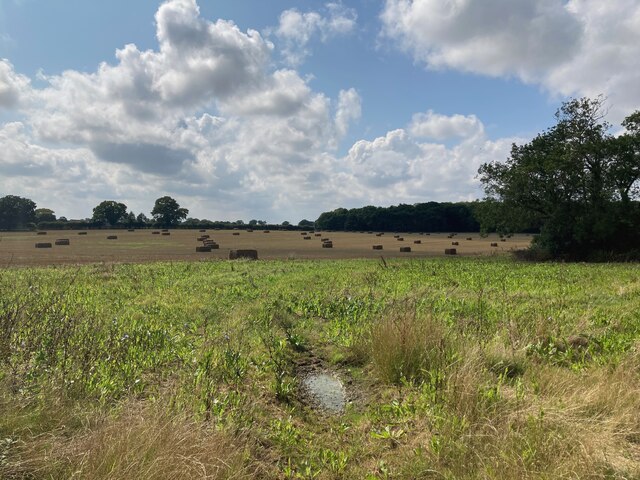
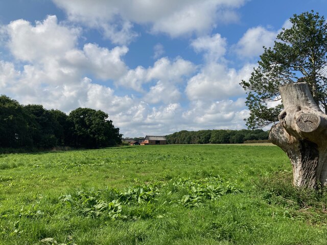
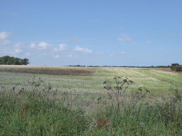
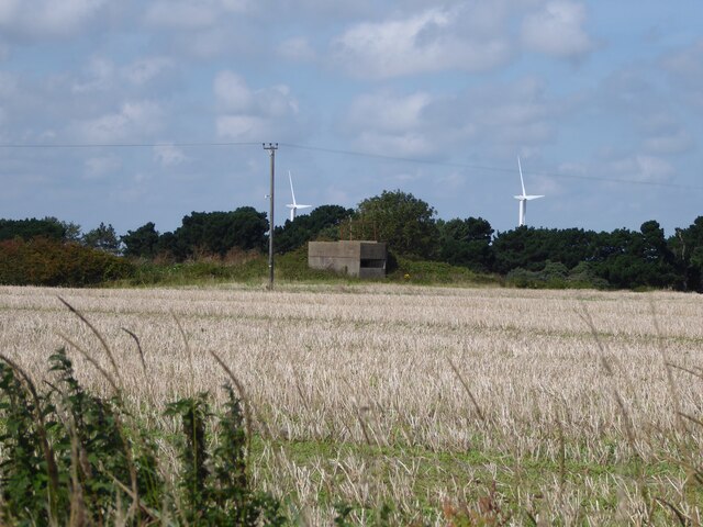
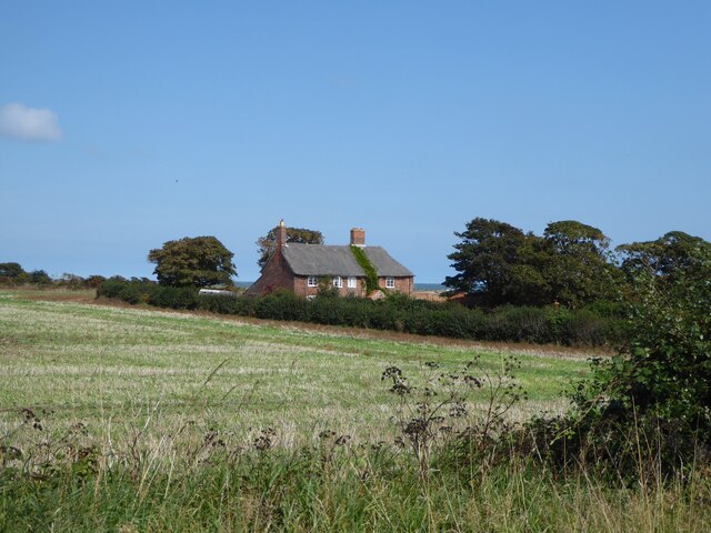
Churchfarm Marshes is a coastal marshland located in Suffolk, England. This expansive site stretches along the eastern coast, encompassing a diverse range of habitats such as marshes and saltings. It is a renowned nature reserve, managed by the Royal Society for the Protection of Birds (RSPB), offering a haven for a wide array of bird species and other wildlife.
The marshes are characterized by their unique topography, with a mixture of saltmarsh, mudflats, and ditches. The area is subject to tidal influence, as the marshland is located at the confluence of the River Blyth and the North Sea. As a result, the site experiences regular tidal flooding, which contributes to the formation and sustenance of the diverse ecological communities found here.
Churchfarm Marshes is particularly notable for its birdlife, attracting both resident and migratory species throughout the year. Visitors can spot a variety of wading birds, such as redshanks, avocets, and lapwings, as well as ducks, geese, and swans. The marshes also provide an important breeding ground for several rare bird species, including the marsh harrier and the bittern.
In addition to its avian inhabitants, Churchfarm Marshes supports a rich and varied range of flora and fauna. The saltmarsh plants found here have adapted to the saline conditions, with common species including sea lavender and samphire. The mudflats are home to a wealth of invertebrates, including worms, shellfish, and crabs, which in turn provide a vital food source for birds and other wildlife.
With its stunning coastal scenery and abundant wildlife, Churchfarm Marshes offers a unique and captivating experience for nature enthusiasts and birdwatchers alike.
If you have any feedback on the listing, please let us know in the comments section below.
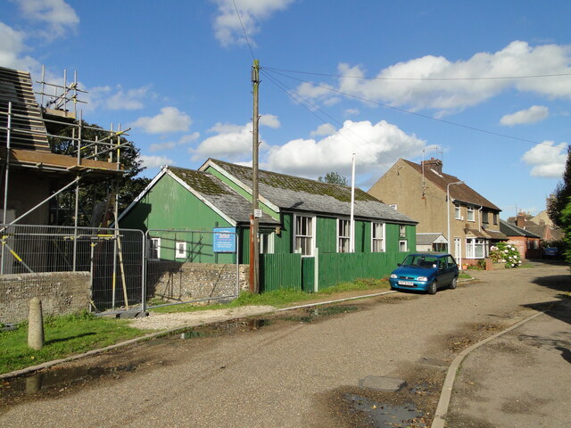
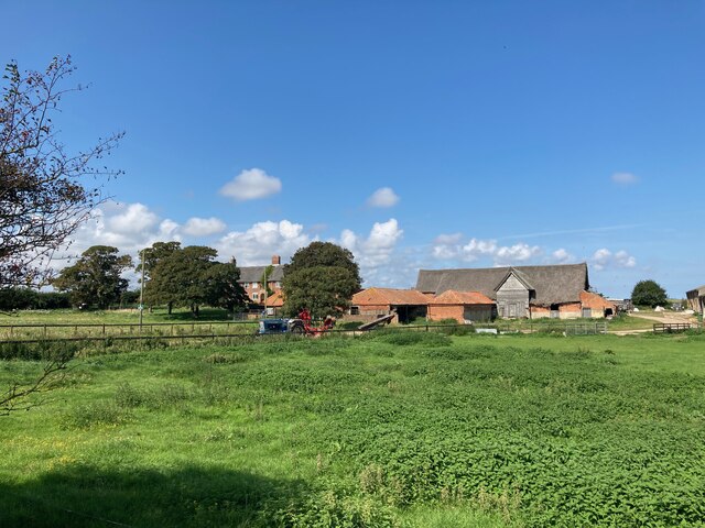
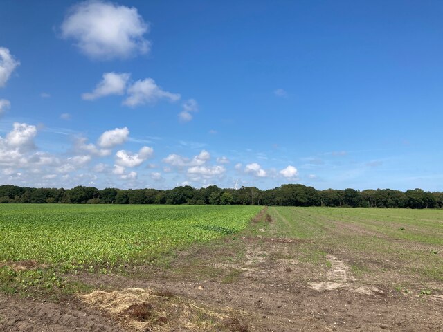
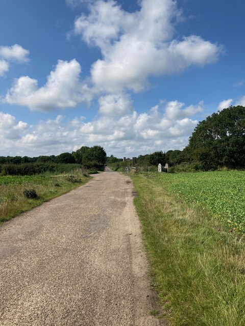
Churchfarm Marshes Images
Images are sourced within 2km of 52.406196/1.6996567 or Grid Reference TM5185. Thanks to Geograph Open Source API. All images are credited.


Churchfarm Marshes is located at Grid Ref: TM5185 (Lat: 52.406196, Lng: 1.6996567)
Administrative County: Suffolk
District: East Suffolk
Police Authority: Suffolk
What 3 Words
///modules.over.petulant. Near Kessingland, Suffolk
Nearby Locations
Related Wikis

The Sunrise Coast
The Sunrise Coast is a stretch of tourist coastline in the English county of Suffolk. The area includes the seaside resort towns of Lowestoft and Southwold...
Benacre, Suffolk
Benacre is a village and civil parish in the East Suffolk district of the English county of Suffolk. The village is located about 5+3⁄4 miles (9 km) south...
Africa Alive!
Africa Alive! Zoological Reserve, formerly known as Africa Alive! and Suffolk Wildlife Park, is a zoo located in Kessingland, Suffolk, UK. It is situated...

Benacre Broad
Benacre Broad is an isolated coastal lagoon on the North Sea coast of the English county of Suffolk. It is located in the parish of Benacre around 1⁄2...

Kessingland
Kessingland is a village and civil parish in the East Suffolk district of the English county of Suffolk. It is located around 4 miles (6 km) south of Lowestoft...

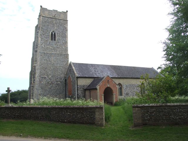
Henstead
Henstead is a village near Kessingland and the A12 in the civil parish of Henstead with Hulver Street, in the county of Suffolk, England. It has a church...

Rushmere, north Suffolk
Rushmere is a village and civil parish in the East Suffolk district of the English county of Suffolk. The village is around 5 miles (8.0 km) south-west...
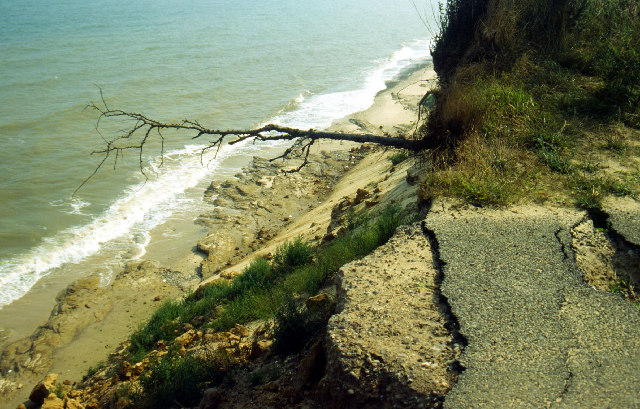
Pakefield to Easton Bavents
Pakefield to Easton Bavents is a 735.4-hectare (1,817-acre) biological and geological Site of Special Scientific Interest which stretches along the Suffolk...
Have you been to Churchfarm Marshes?
Leave your review of Churchfarm Marshes below (or comments, questions and feedback).